Hike the Willowemoc & Sand Pond Mountains from Beaver Kill Road |
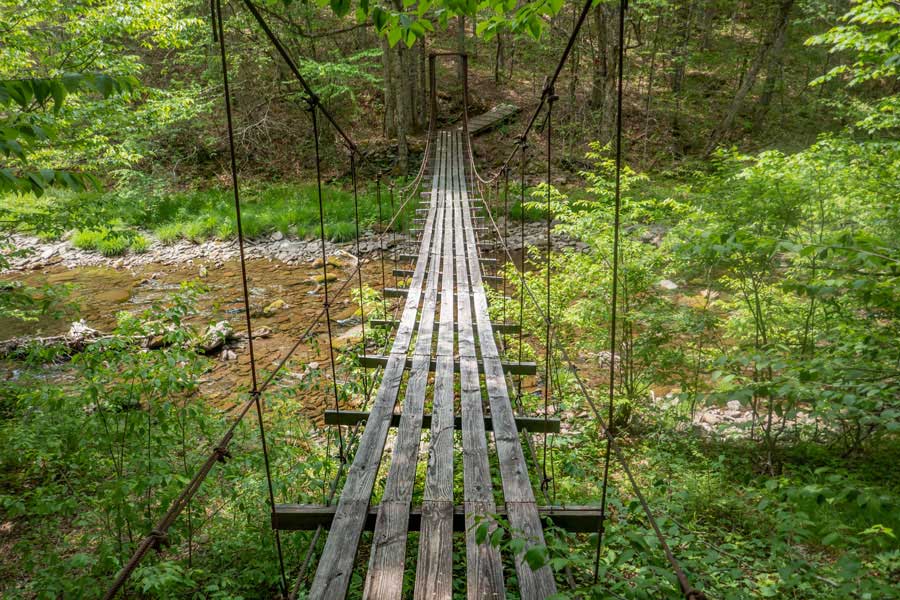 |
| View of the Cable Swing Bridge on the Monguap-Hardenburgh Trail in the Big Indian Wilderness |
| |
| |
|
|
|
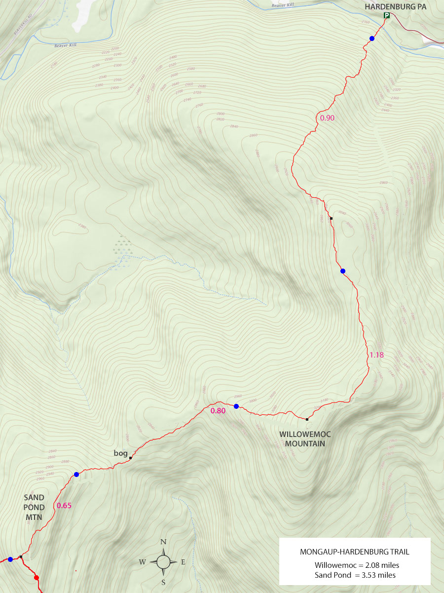
Maps to Willowemoc & Sand Pond Mountains on the Mongaup-Hardenburgh Trail |
 |
|
|
|
| | Notes About Hiking to Willowemoc Mountain |
|
| | TRAIL |
|
| |
This trail is not hiked often. Sometimes, a week will pass before another hiker will visit this trail. Hiking with a partner is advised, or carrying a PLB. Many experienced hikers really enjoy the wildness of this trail.
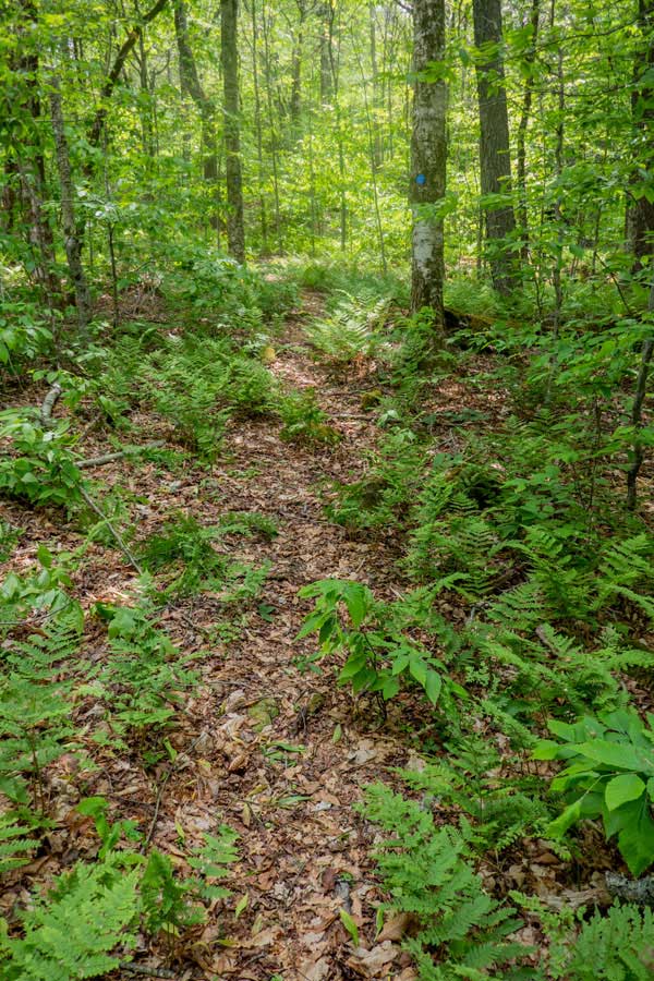
If you like fern glades, you are going to love this hike. Ferns exist almost everywhere.
The ridge line of Willowemoc is quite long. Almost 1-1/2 miles long. It is not the longest ridge line in the Catskill Mountains, but still enjoyable.
| |
| | PARKING |
|
| |
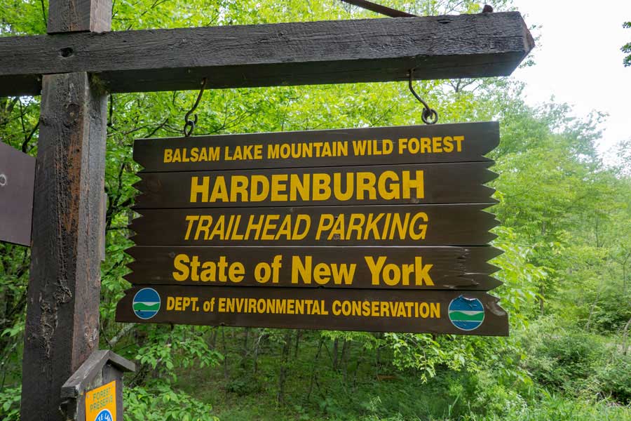
Parking at the Hardenburgh Parking Area is pretty easy. Not hard to find either. The biggest problem is that this parking lot can fill up to capacity in the Winter months. The Hardenburgh Parking Area is accessible in the Winter. The Beaver Kill Road is closed just beyond this Parking Area. So, hikers who want to hike Balsam Lake Mountain will park here because they cannot access the large Balsam Lake Mountain Parking Area in the Winter. Some of the roads to the Hardenburgh Parking Area are closed in the Winter, so they can also make it difficult to get here.
| |
| | OTHER INFORMATION |
|
| |
There is NO cell phone service as of 2023.
|
|
|
| | DIRECTIONS to the Hardenburgh Parking Area from Exit 18 (New Paltz) |
| | Hardenburgh Parking Area WGS84 (DEC): 42.0123, -74.622783 - Elevation is approximately 2,270 feet |
| | Hardenburgh Parking Area Deg/Min/Sec: N42 00 44, W74 37 22 - Elevation is approximately 2,270 feet |
| | Hardenburgh Parking Area GPS: N 42 00.738, W 74 37.367 - Elevation is approximately 2,270 feet |
| | Hardenburgh Parking Area UTM: 18N 531234 4651211 - Elevation is approximately 2,270 feet
|
| |
|
| | Get off New York State Thruway at Exit 18 (New Paltz). |
| | Take a LEFT out of the NYS Thruway onto Route 299 West. |
| | Go approximately 7.3 miles on Rt 299 West |
| | Take a RIGHT onto Rt 44 |
| | Go approximately 10.3 miles on Rt 44 |
| | Take a LEFT onto Rt 209 in Kerhonkson |
| | Go approximately 5.8 miles on Rt 209 |
| | Take a RIGHT onto Rt 52 |
| | Go approximately 19 miles on Rt 52 |
| | Take a RIGHT onto Rt 17 |
| | Go approximately 10 miles on Rt 17 |
| | Take a RIGHT on Debruce Road after getting off Rt 17 |
| | Go approximately 0.4 miles on Debruce Road |
| | Take a RIGHT onto Old Rt 17 |
| | Go approximately 1.3 miles on Old Rt 17 |
| | Take a RIGHT onto Beaver Kill Road (Rt 151) |
| | Go approximately 18.5 miles on Beaver Kill Road |
| | DEC Parking Area is at the end of Beaver Kill Road (on the RIGHT side of the road). |
|
|
| | DIRECTIONS to the Hardenburgh Parking Area from Exit 19 (Kingston) |
| | Hardenburgh Parking Area WGS84 (DEC): 42.0123, -74.622783 - Elevation is approximately 2,270 feet |
| | Hardenburgh Parking Area Deg/Min/Sec: N42 00 44, W74 37 22 - Elevation is approximately 2,270 feet |
| | Hardenburgh Parking Area GPS: N 42 00.738, W 74 37.367 - Elevation is approximately 2,270 feet |
| | Hardenburgh Parking Area UTM: 18N 531234 4651211 - Elevation is approximately 2,270 feet
|
| |
|
| | Get off New York State Thruway at Exit 19 (Kingston). |
| | Take a RIGHT out of the NYS Thruway onto Route 28 West. |
| | Go approximately 45.4 miles on Rt 28 West |
| | Take a LEFT onto Spur to BWS Road No 10
(Look for Brown hiking signs for Huckleberry Loop & Kelly Hollow) |
| | Take a RIGHT onto BWS Road No 10 |
| | Go approximately 3.75 on BWS Road No 10 |
| | Take a LEFT onto Millbrook Road |
| | Go approximately 1.4 miles on Millbrook Road |
| | Take a RIGHT onto "Cross Mountain Road" (DO NOT take "Old Cross Mtn Road") |
| | Go approximately 4.3 miles on Cross Mountain Road (dirt road) |
| | Cross Mountain Road (dirt) will turn into Adler Creek Road (paved) |
| | Go approximately 2.2 miles on Adler Creek Road (paved) |
| | Take a LEFT onto "Beaver Kill Road" (No street sign - bridge on right) |
| | Go approximately 6.2 miles on Beaver Kill Road (paved then dirt) |
| | DEC Parking Area is at the end of Beaver Kill Road (on the RIGHT side of the road). |
| | NOTE #1: Cross Mountain Road may be closed during the Winter months. Use an alternate route, like Barkaboom Road (further down BWS Road #10). |
| |
|
|
|
MILEAGE CHART - Hike from Hardenburgh PA TO Willowemoc Mountain |
| | Mile Point | Altitude | Notes |
| | 0.00 | 2,270' | Hardenburgh Parking Area |
| | 0.06 | 2,200' | Cable Swing Bridge over Beaver Kill Brook |
| | 0.84 | 2,945' | Willowemoc Summit Ridge |
| | 2.08 | 3,226' | Highest spot on Mongaup-Hardenburgh Trail on Willowemoc Mtn (actual summit is 150' off trail) |
| | 2.88 | 2,829' | Sand Pond Mtn Bog |
| | 3.53 | 3,011' | Trail Junction near summit of Sand Pond Mtn |
|
|
Hike to Willowemoc & Sand Pond Mtn on the Monguap-Hardenburgh Trail from Hardenburgh PA |
 |
You want to park at the Hardenburgh Parking Area for this hike. If this parking area is full, you can also use the Balsam Lake Mountain Parking Area 1.88 miles further up the Beaver Kill Road. Please Note: The Beaver Kill Road is NOT plowed past the Hardenburgh Parking Area in the Winter months.
|
|
 |
The Hardenburgh Parking Area holds about 5-6 cars. It is located directly off the Beaver Kill Road. The DEC has a large sign on the side of the road. So, hard to miss.
|
|
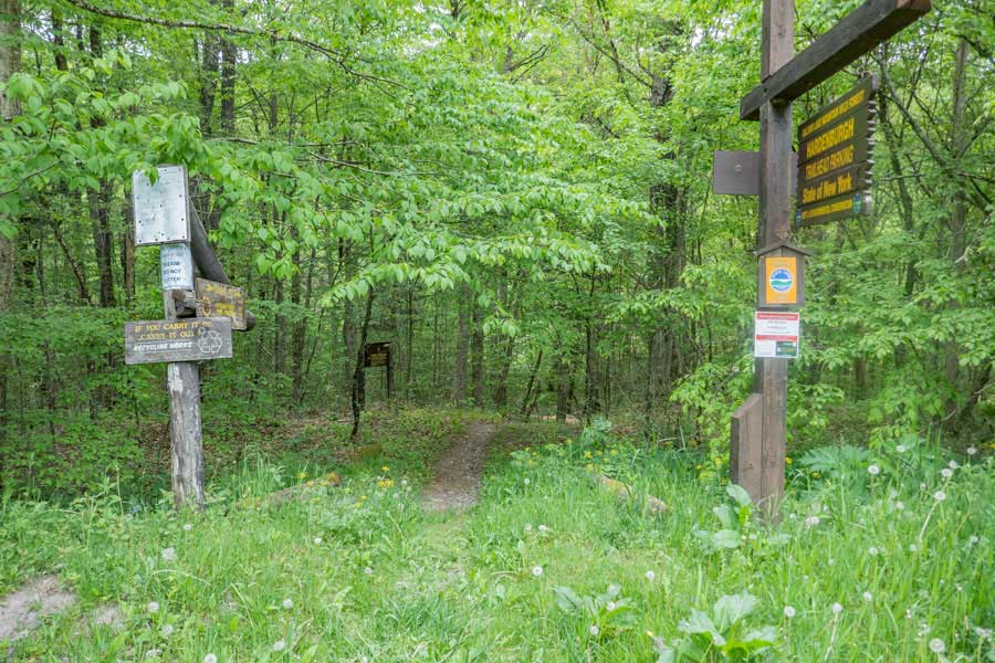 |
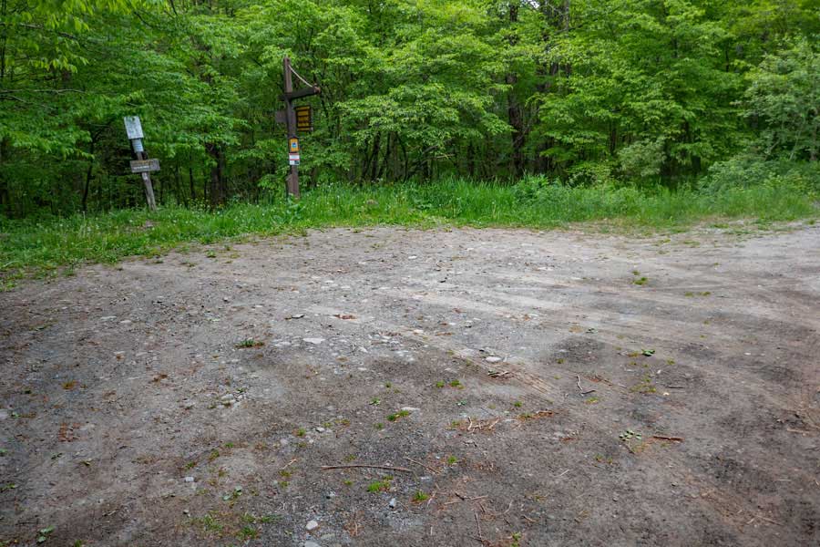
This is the trailhead for the Mongaup-Hardenburgh Trail. It is located in the middle of the Hardenburgh Parking Area.
|
|
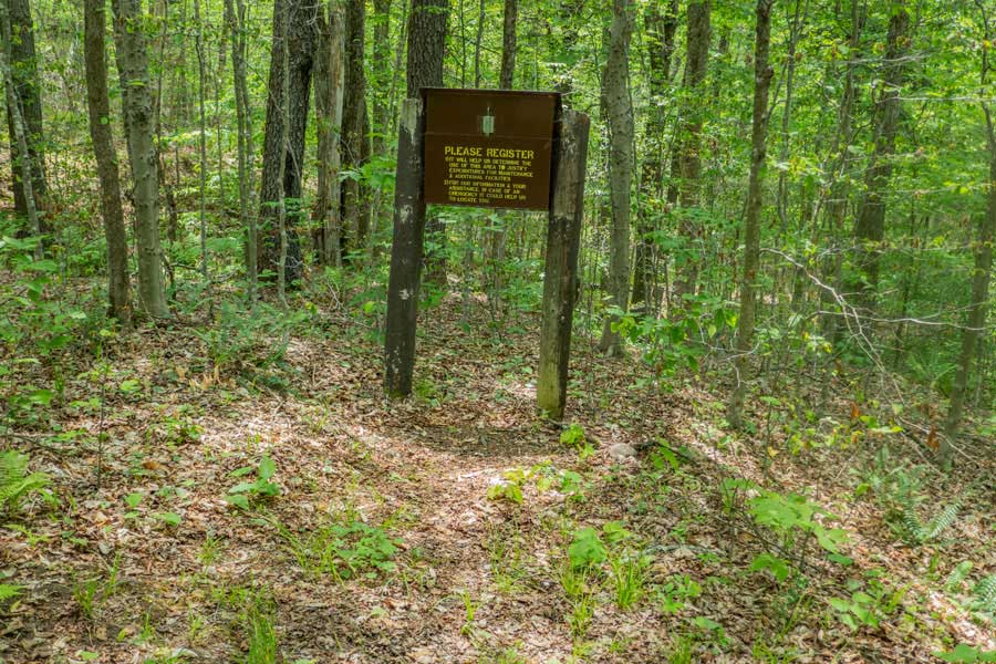 |
The DEC Registration Box is located about 50' from the Hardenburgh Trailhead.
Please register for your hike. Make sure you provide a good description of where you are going. If the NYS Rangers need to find you, this is the first place they will look to see where you might be in thousands of acres of forest.
Additionally, funds for trail maintenance are allocated based upon how many people register for the hike over time.
If you have questions on the rules of hiking in a New York State Forest, the rules are listed at the Hardenburgh Trailhead. The most important rule is that you cannot camp within 150' of a road, trail, building, or water source, unless it is a designated primitive campsite. Also remember that whatever you bring into the woods, you need to take back out of the woods. Leave No Trace ("LNT").
|
|
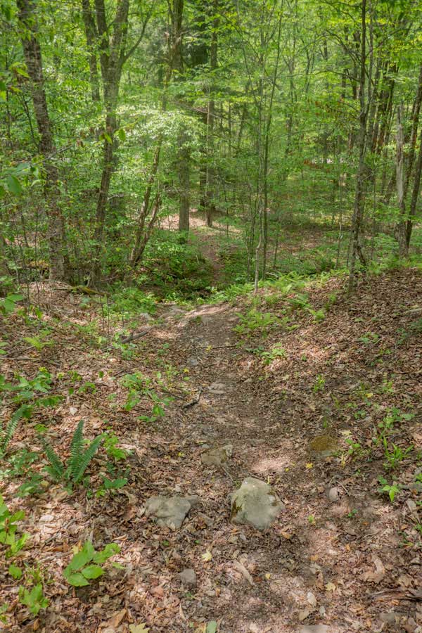 |
As soon as you walk past the DEC Registration, the trail drops 70' immediately. This is the Beaver Kill Creek Ravine that you are hiking down into. When you get across the Beaver Kill Creek, you will then have to hike up the other side of the ravine.
Once at the bottom, you will see the entrance to the Cable Swing Bridge. Head towards the bridge.
|
 |
|
|
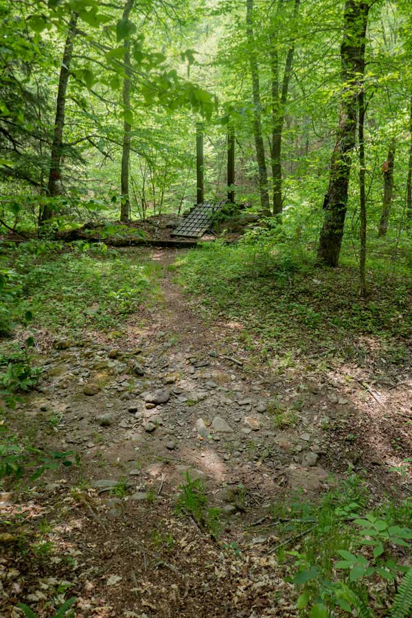
This is the cable swing bridge over the Beaver Kill Creek. This type of bridge has a tendency to swing back-and-forth, so hang onto the cable railings as you cross the bridge.
Please NOTE: The Beaver Kill Brook is privately owned in this area. There is an easement that allows hikers to cross over the brook legally. So, please stay on the trail. Both the edges and sides of the Beaver Kill Brook are privately owned.
Please NOTE: This is the ONLY place you can get water on this trail! There are NO locations on this trail to obtain water.
|
|
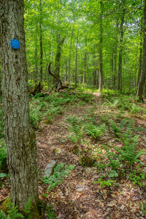 |
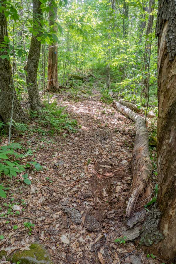
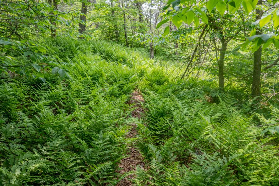
Once you get above the Beaver Kill Brook ravine, the trail is pretty easy hiking. You will encounter fern glades almost immediately on this hike
There are a few ledges to get up during the hike. They are pretty easy to get up. This one is much easier then it looks.
|
 |
|
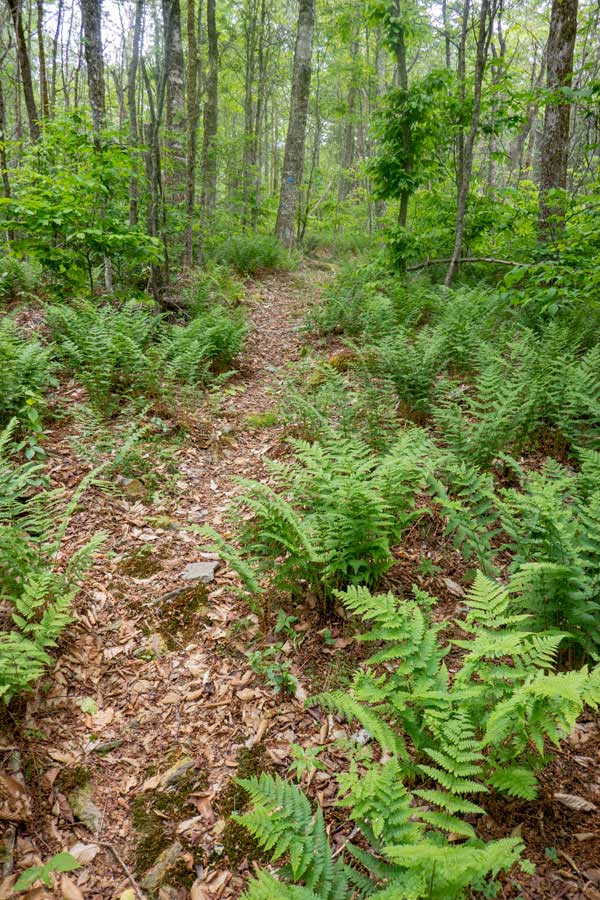 |
As you climb higher in elevation, the fern glades will get thicker and thicker. Most of the trail is quite enjoyable.
|
 |
|
 |
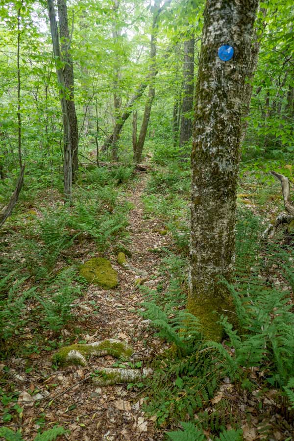
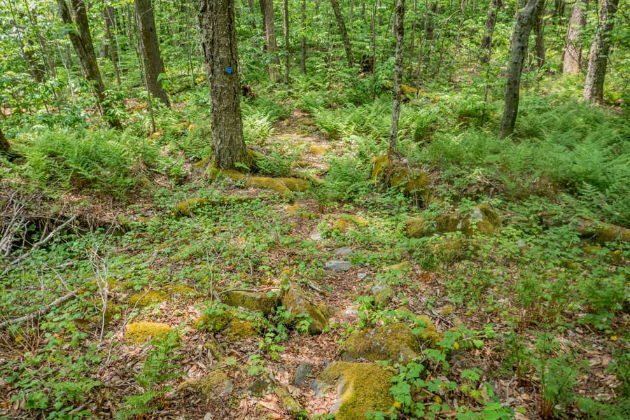
Once you have hiked a little less then 9/10 of a mile, you will reach the Willowemoc Ridge Line. The ridge line is very long. Almost a 1-1/2 miles long. There will be times where you think you have reached the summit, but you will soon discover that it is one of several false summits.
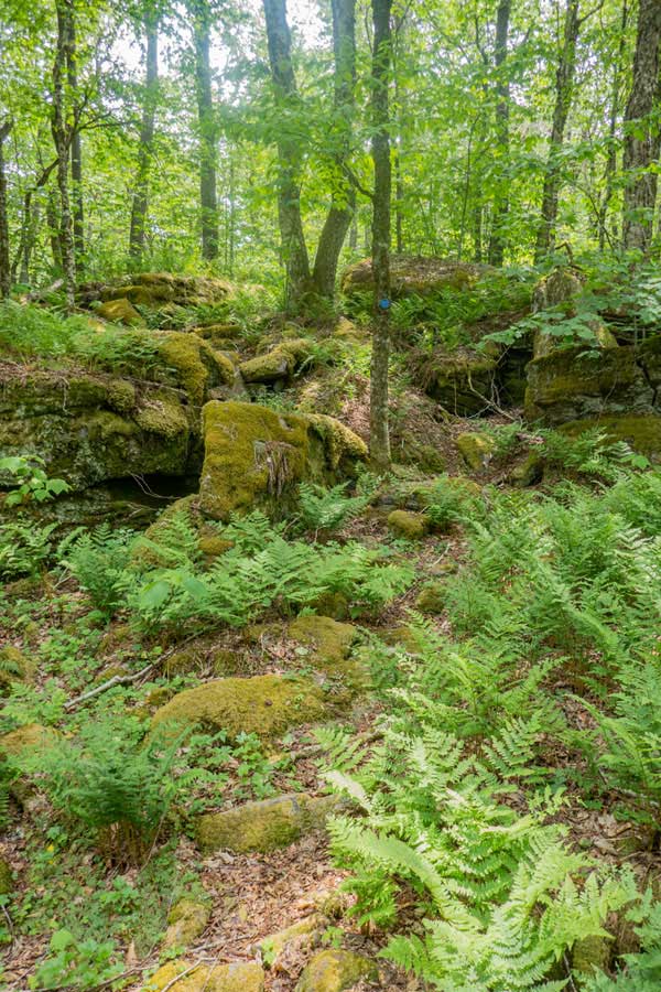
The Mongaup-Hardenburgh Trail is quite wild and rarely travelled. Many experienced hikers really enjoy this trail due to it's wildness and fern glades.
|
 |
|
 |
As you get near the high spot on the trail, it will level out. It is very easy to hike past the high point of the trail.
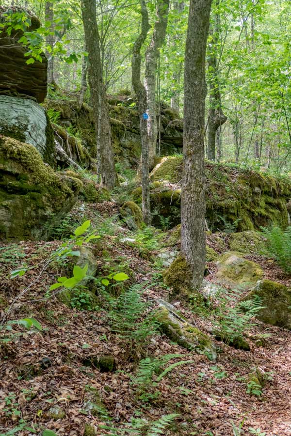
If the trail starts plunging downhill, then you have just passed the high point on the Willowemoc Mountain. The Mongaup-Hardenburgh Trail runs about 150' north of the actual summit. The actual summit is about 10' higher then the trail. The forest on the Willowemoc Mountain summit is thick in places.
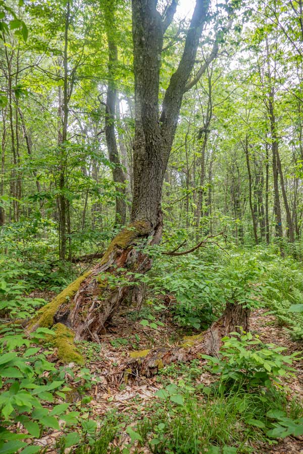
This is the end of the hike for the Willowemoc Mountain. The trail then drops off in elevation past this point as it heads over to Sand Pond Mountain. Before Sand Pond Mountain is a very young bog (600 years old according to Mike Kudish, PhD). The bog is fairly small. The trail gets more wild, and some route finding may be necessary.
|
 |
|
 |
Shortly after passing the summit of Willowemoc Mountain, the trail turns to the right and descends in elevation down the west ridge of Willowemoc Mountain.
|
|
 |
Once at the bottom, you will travel for a distance on fairly flat land. Then it will descend a little further. At the bottom will be a small bog that is around 600 years old.
|
|
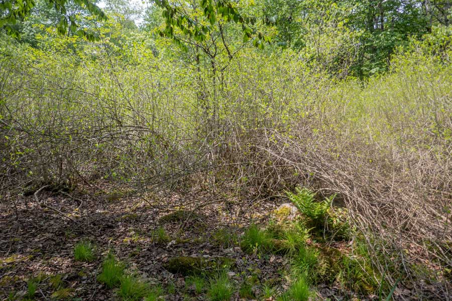 |
This is the small bog that is around 600 years old. The bog is less then 50 feet from the trail.
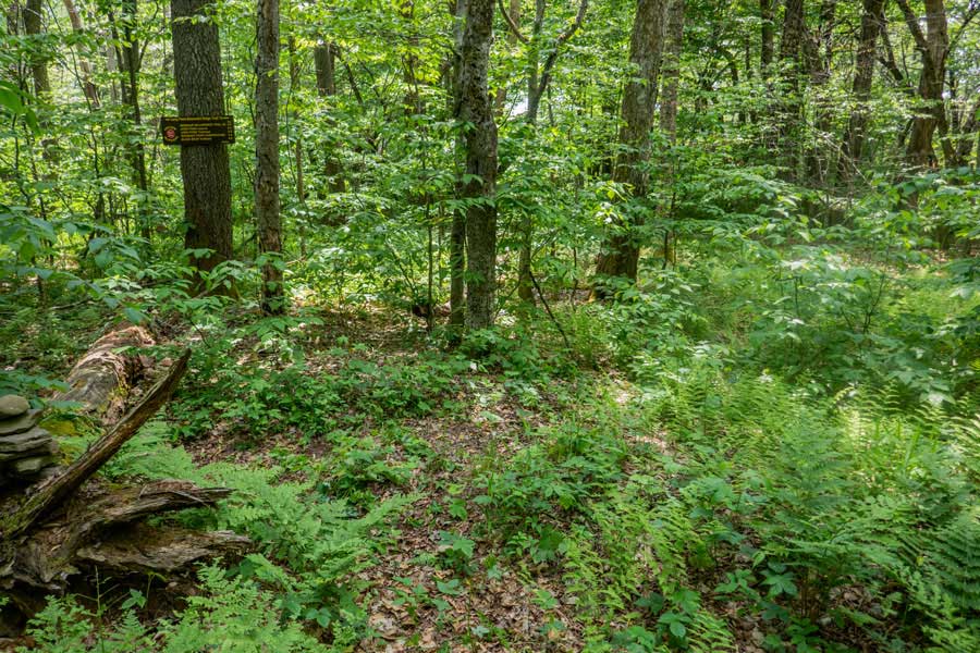
After visiting the bog, you will then start to ascend up Sand Pond Mountain. The incline is not that steep, but the trail tends to wind around the forest a bit. So, pay attention to where the trail is going. In some areas, it is easy to hike off the trail. There will be a point where the trail then starts to descend. The summit of Sand Pond Mountain is several hundred feet away. If you plan on going to the summit of Sand Pond Mountain, look at the map prior to starting so that you understand where you need to bushwhack to.
|
|
 |
This is the Trail Junction on Sand Pond Mountain for the Mongaup-Hardenburgh Trail and Long Pond - Beaverkill Ridge Trail. For this hike, just turn around and return back to the Hardenburgh Parking Area.
|
|
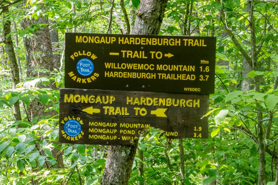 |
This is the sign for the Mongaup-Hardenburgh Trail. If you plan on visiting Mangaup Mountain or other location west of Sand Pond Mountain, look at the sign for information.
|
|
 |
If you plan on descending down to Long Pond, take a LEFT and descend down Sand Pond Mountain. The DEC sign will give you mileage to your destination.
|
|
|
S E C T I O N S
|
W E A T H E R
|
O T H E R
|