|
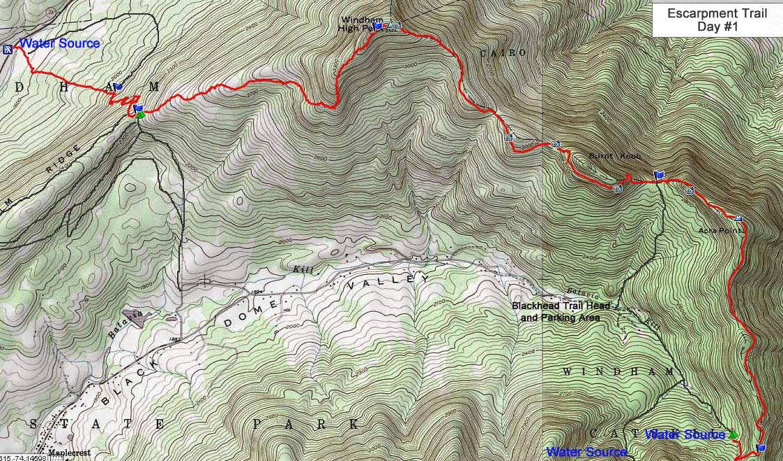
Hike the Escarpment Trail from Windham to Kaaterskill Falls |
|
Hike Windham High Peak from Rt 23 |
 |
This the Elm Ridge Parking Area on the corner of Rt 23 and Cross Road. It holds about 40 cars. The Parking lot is located between East Windham and Windham.
There is NO fee to park in this parking lot. It can fill up on summer weekends and holidays.
You can park here overnight and for multiple nights.
|
|
 |
To get to the Trailhead, walk across Rt 23 and head towards the wooden bridge you see in the picture above.
Walk down the trail and walk across the bridge.
Please note: During a big rain storm the water can rise above the bridge, and the beginning of the trail can be under water. If this is the case, you can access the Escarpment Trail from the other side of Elm Ridge. Enter these GPS coordinates into your map program on your cell phone: 42.2968,-74.16925 to get to the Peck Road Parking Area in Maplecrest.
|
|
 |
This is the bridge that goes across is creek. After a large rain storm, water can flow over the bridge. |
|
 |
 |
There is a muddy section so walk on the wooden walkway. After a large rain storm this section can be under water. |
Register for your hike here. Registering allots money for trail maintenance and can be used by Rangers to find you if you go missing or are injured. |
|
 |
 |
After registering for your hike head straight up the Escarpment Trail. Shortly, you will enter the forest from the grass land. |
As you hike up the Escarpment Trail, you will see several Mountain bike Trail for the Fun Loops and Elm Ridge. Keep going straight. |
|
 |
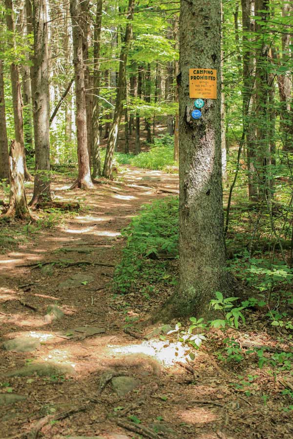 |
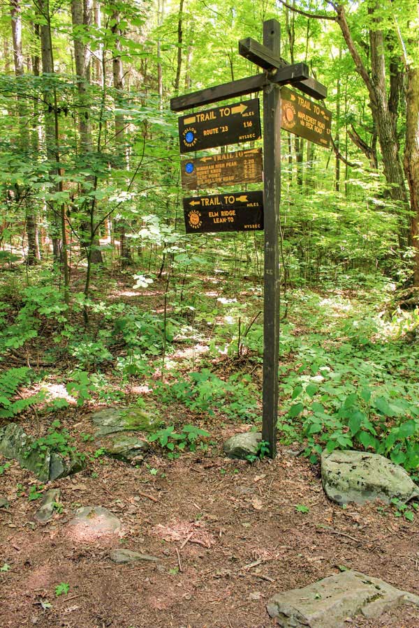
When you reach the top of Elm Ridge (Mile Post 1.44), you will come to a 4-way Trail Junction. You want to go LEFT up to Windham High Peak. Straight will take you to Peck Road Parking Area. Right will take you on the Mountain Bike Trails in Elm Ridge. |
This is the Escarpment Trail as it starts to climb up Windham High Peak Mountain. |
|
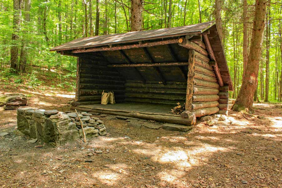 |
After a short distance (150 ft) you will see a trail on the right. The side trail will take you to the Elm Ridge Lean-to. Behind the Lean-to is a primitive campsite. If there is room in the Lean-to you MUST share it with other hikers that arrive after you. |
|
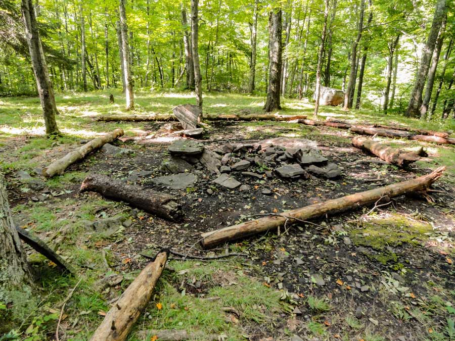 |
This is the DEC Primitive campsite behind the Lean-to. |
|
 |
 |
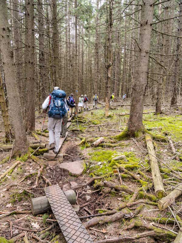
About half way to the summit of Windham High Peak, you will hike through a dense conifer forest. |
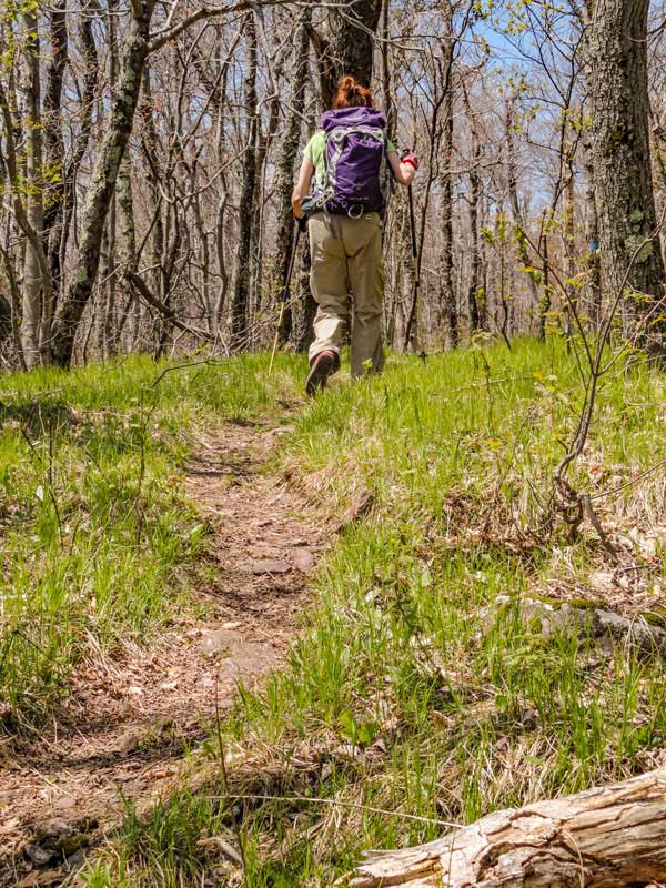
After the conifer forest, you will encounter a small steep section as you wind around the south side of Windham High Peak. |
|
 |
 |
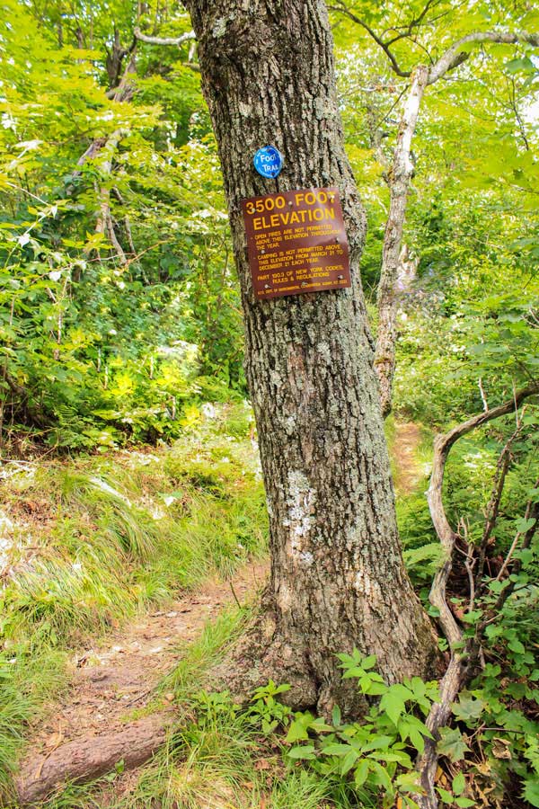
As you get close to the summit of Windham High Peak, you will see a 3500 foot elevation sign. You cannot camp above this point in the Spring, Summer or Fall. |
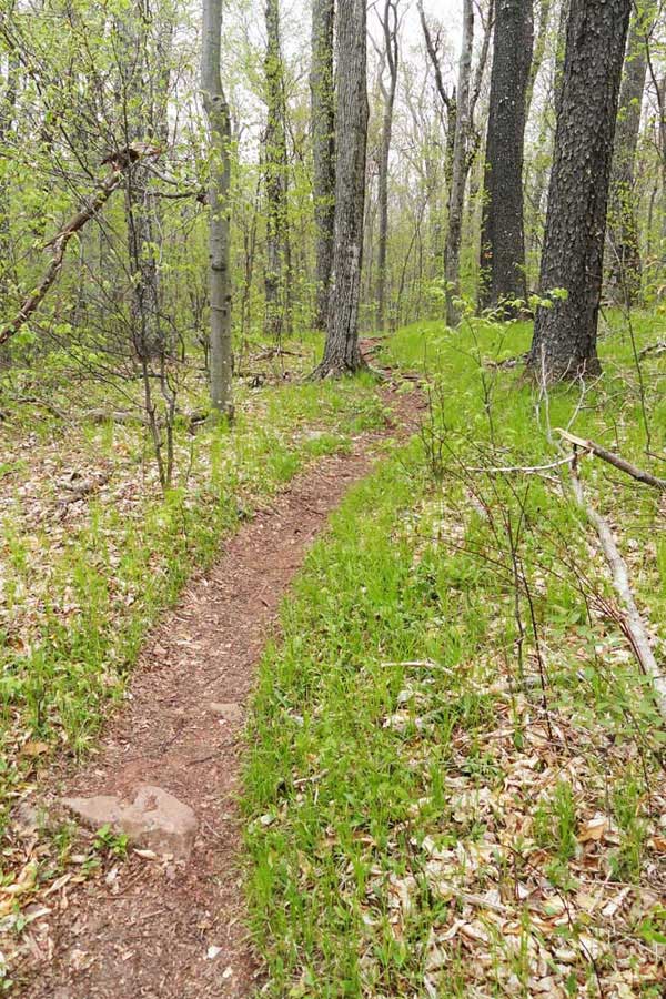
After the 3500 foot elevation sign, the trail will be fairly flat as you approach the summit of Windham High Peak. |
|
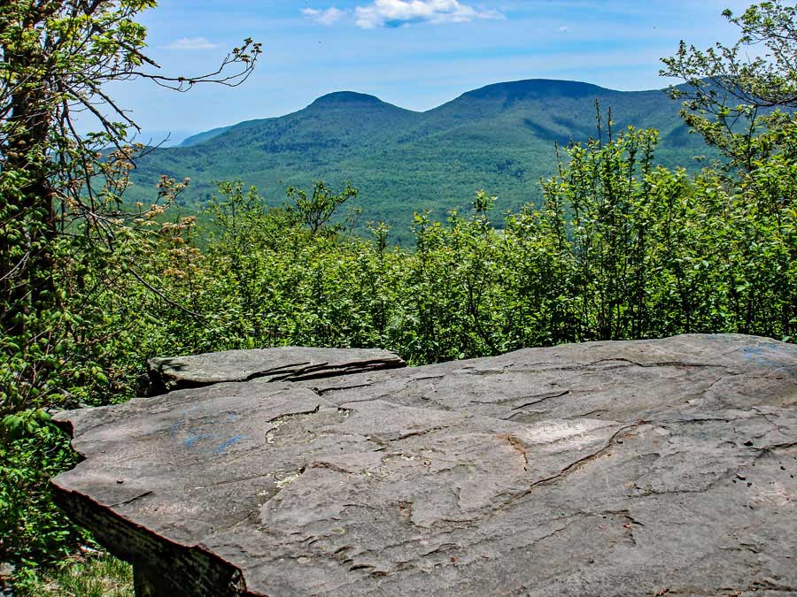 |
Mile post 3.66. This is one of the three view points on the summit of Windham High Peak. The mountains in the distance are Blackhead Mountain (left), Black Dome Mountain (center), and Thomas Cole Mountain (right). On a clear day it is a very nice view.
On Day 2 you will climb up Blackhead Mountain. |
|
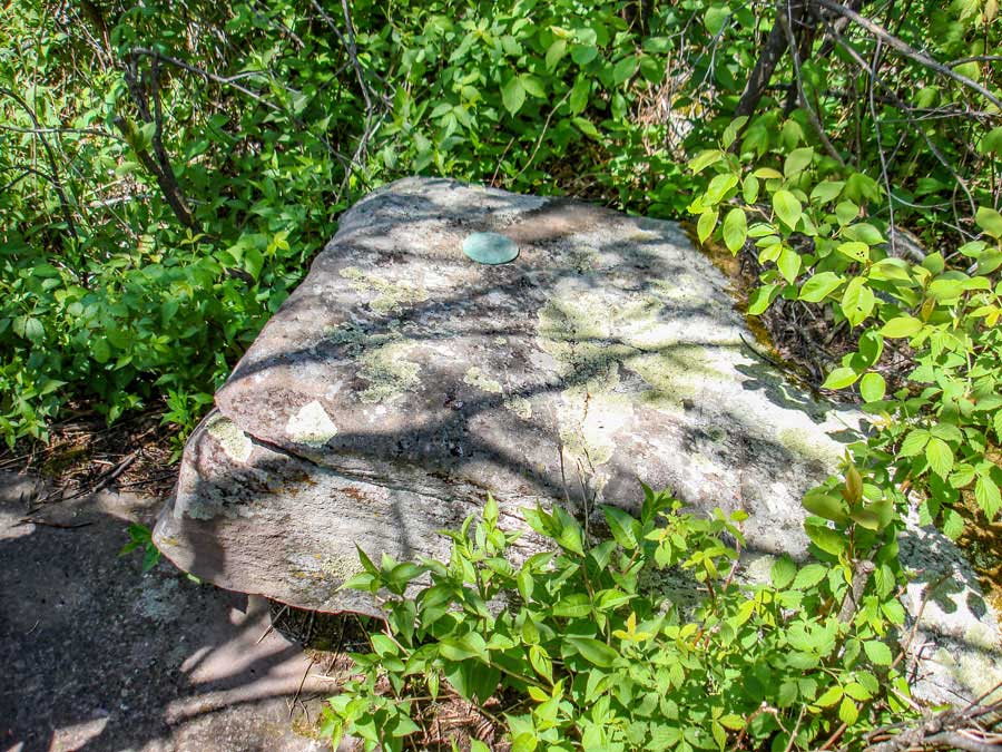 |
This is the summit of Windham High Peak with three USGS Markers. |
|
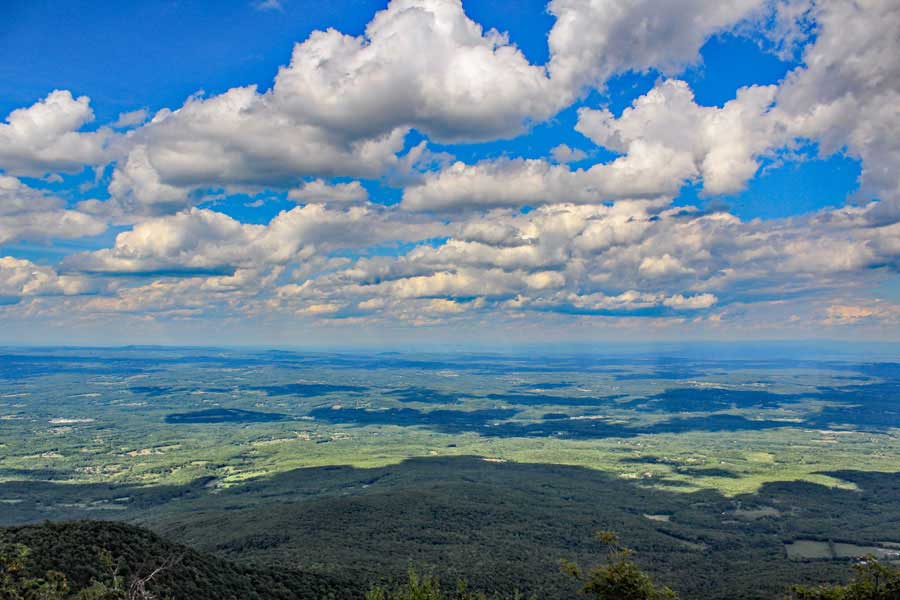 |
Mile Post 3.80. This is the view of the Hudson Valley looking northeast. It is the last view point near the summit of Windham High Peak |
|
 |
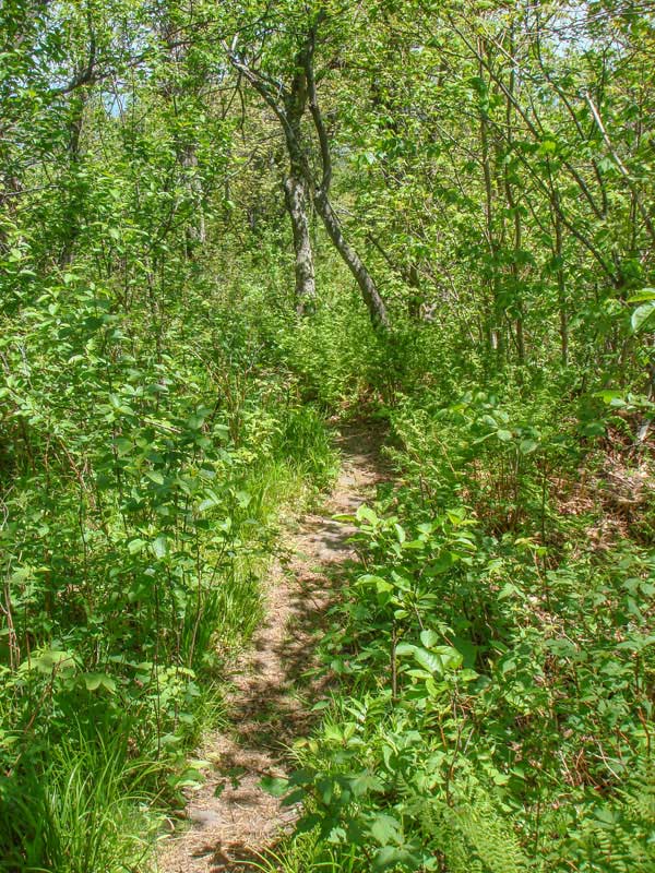 |
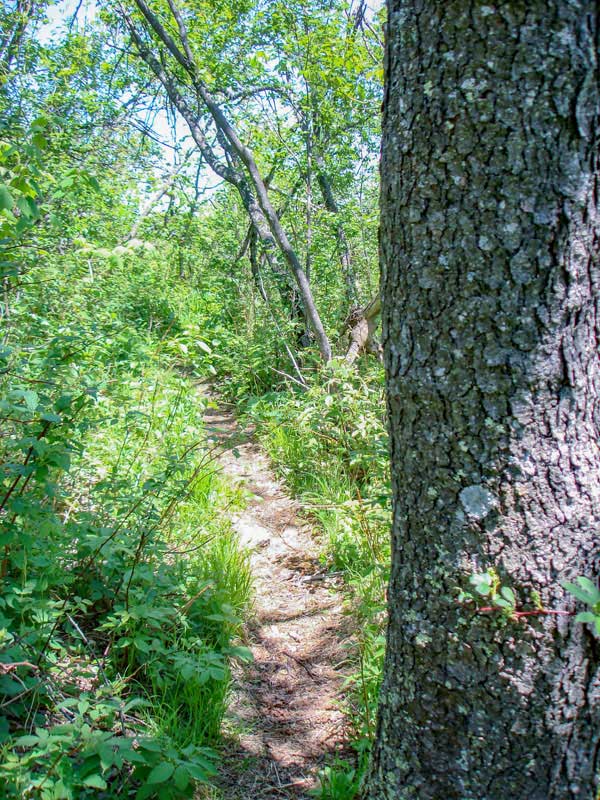
As you descend off the summit of Windham High Peak the trail will be narrow. Sometimes the trail is overgrown. |
The trail will stay overgrown until you reach Burnt Knob. |
|
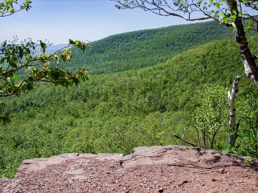 |
At mile post 5.07 you will encounter view point #3 on the northwest side of Burnt Knob. This is after a steep climb up the gap. Off to the right of this picture, you can see Windham High Peak. This view overlooks the Batavia Valley and Windham High Peak (not in picture). |
|
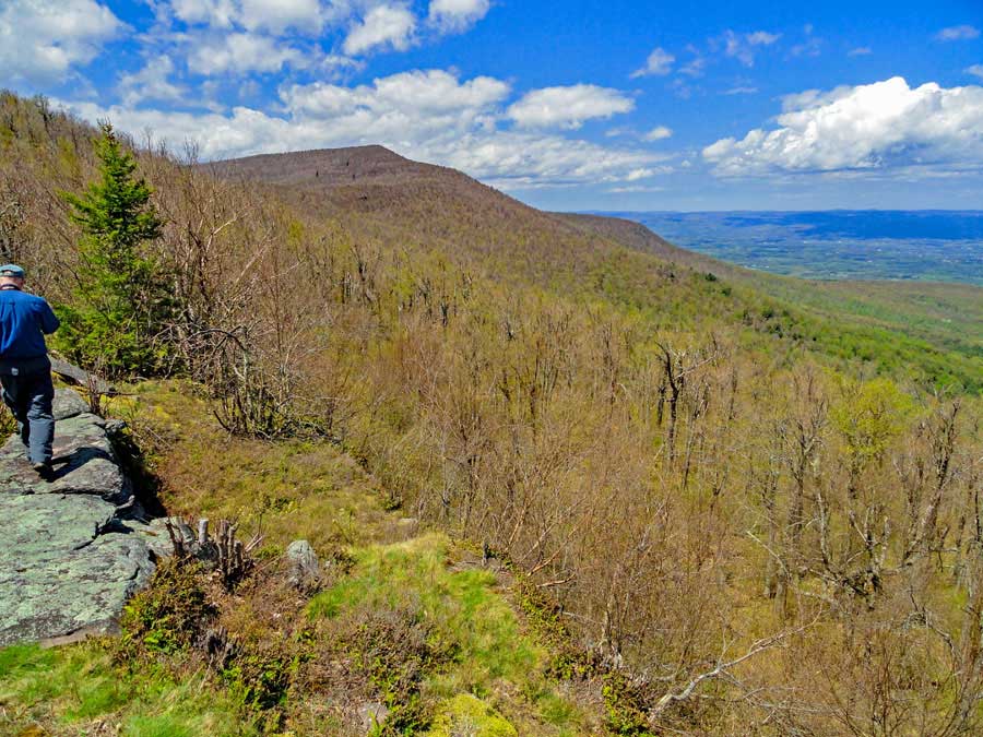 |
At mile post 5.44 you will encounter view point #2 on Burnt Knob. This ledge is on the east side which shows Windham High Peak and the Hudson Valley. It is a large ledge with a great view. |
|
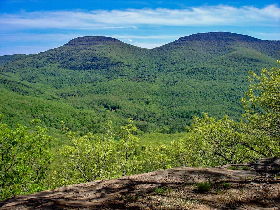 |
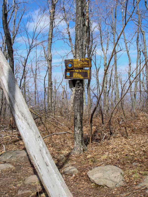
At mile post 6.03 you will encounter view point #1 on Burnt Knob. This ledge is on the southwest side of Burnt Knob. On a clear day, you will have an excellent view of Blackhead Mountain and Black Dome Mountain. |
|
 |
 |
After you leave the last view point, you will descend down a steep trail. When you get to the bottom, you will be in a Gap. In the Gap is a Trail Junction. This trail junction is at mile post 6.43. Straight will take you to Acra Point. Right will take you to the Blackhead DEC parking lot. You want to continue STRAIGHT on the Escarpment Trail. |
As you travel further down the Escarpment trail it will be flat for the most part. The ridge you will be walking on is 50 to 200 feet wide. Some of the ledges off the trail are quite high. Some are over 100 feet high. It is a nice walk. |
|
 |
After hiking up a small rise, you will see a short trail on the right that will take you to this great view point. It is at Mile Post 6.75. The picture above shows Blackhead Mountain (left), Black Dome Mountain (center), and Thomas Cole Mountain (right). You can also see Burnt Knob on your far right.
|
|
 |
 |
At mile post 7.14, you will encounter Acra Point on the left side of the trail. Unfortunately, the brush and trees have grown up over the years and have obscured the great view that past generations had.
| After Acra Point, the trail is fairly flat for quite a ways as you move along the ridge line.
|
|
 |
Further down the trail is another view point on the right side of the Escarpment Trail. The picture above shows Blackhead Mountain (left), Black Dome Mountain (center), and Thomas Cole Mountain (right).
|
|
 |
 |
At mile post 8.86, you will encounter a trail junction. Right will take you to a Lean-to & campground, and further down the trail is the DEC Blackhead parking lot. Go RIGHT. Straight will take you to the summit of Blackhead Mountain. The trail to the summit of Blackhead is steep and difficult. |
After hiking a little less then a 1/4 mile down the Batavia Kill Trail, you will come to where the DEC primitive campsite and Lean-to are located on the LEFT side of the trail. |
|
 |
This is the DEC Batavia Kill Primitive Campsite. |
|
 |
This is the Batavia Kill lean-to.
In the morning you want to return back up the trail to the Escarpment Trail. Then Turn RIGHT to hike up Blackhead Mountain. |
|
|
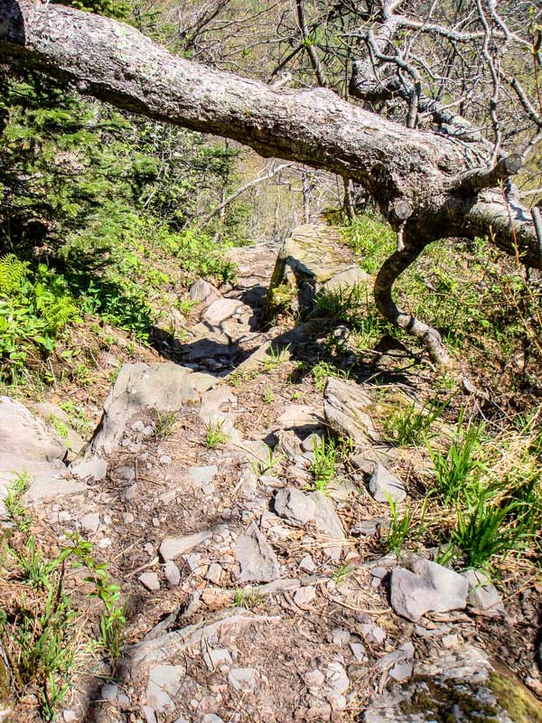 |
Once you come back up to the Escarpment Trail you want to go RIGHT. Left will take you back to Acra Point. The trail to the summit of Blackhead is steep and difficult. |
This is the trail up the northeast side of Blackhead Mountain. It is steep. |
|
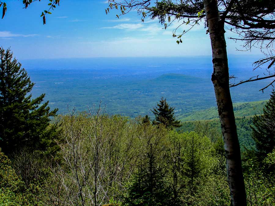 |
Sadly, this view point (Elevation 3,147) is now severely overgrown. In the summer months you will not have any view. In the Winter, you will have an obstructed view. There used to be two view points, but both are now overgrown. |
|
 |
 |
After about 10.45 miles you will reach the summit of Blackhead Mountain. There is no view from the official summit. Years ago, the summit was bare, and the views were spectacular.
You want to go LEFT down the south side of Blackhead Mountain. |
As you start to descend the south side of Blackhead Mtn, you will encounter TWO view points. The first one is called Camp Steel. It is marked on the rock. The second view point is the best view point. In the picture on the right is the long ridge walk from Blackhead to Dutcher's Notch. You can also see the Hudson River in the background. It is a beautiful 2 mile flat walk across the ridge of the Eastern Escarpment.. |
|
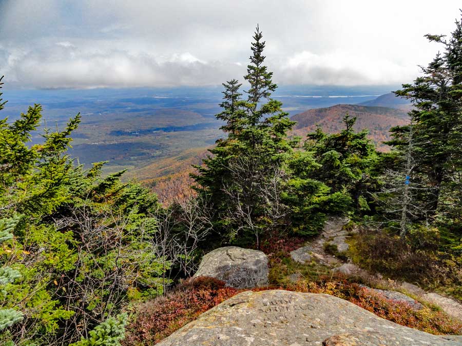 |
One of several great views from the south side of Blackhead Mountain summit. |
|
 |
 |
After you get done soaking up the beautiful views from the 2nd view point on the south side the Blackhead Mountain Ridge, you will then start to descend the south face of Blackhead Mountain. The descent is quite rapid, so you need to exercise a little caution on your trip down. Some people might be a little intimidated by the steep descent. But, if you take your time, you will find a doable path down the trail. Then the trail starts to level off. |
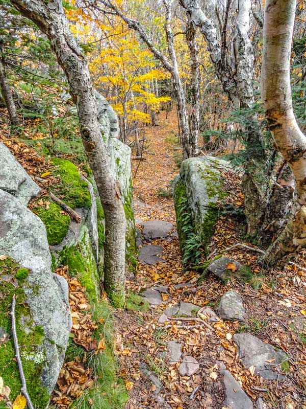
When you get near the very bottom you will see this beautiful rock hallway. Once you pass through the Rock Hallway, the trail will become flat for the next two miles. There will be several slight inclines and declines, but the trail is pretty much flat. It is a beautiful walk across this part of the Eastern Escarpment. Especially, in the Fall when the leaves are changing. |
|
 |
Shortly after you start the flat section of this hike, you will encounter a view point. The picture on the left shows the view. The mountain in the background is Acra Point. |
|
 |
 |
This is what the long hike across the Arizona Mountain ridge looks like. It is mainly a deciduous forest. |
Years ago, there was a forest fire on this long trail across Arizona Mountain. Back then, this area was bare, hence the name, 'Arizona Mountain'. Some question if this long flat trail across Arizona Mountain is longer then the one on Plateau Mountain. Both are really long, about 2 miles. |
|
 |
 |
It is hard to realize when you have reached the summit of Arizona Mountain. There is a small grass section with stones dotting the trail. When you find the stones in the path you have reach the summit of Arizona Mtn. If you turn around, you will see Blackhead Mountain in the distance. There are no spectacular view points from the summit. |
As you move further south of Arizona Mountain summit, the forest will stay the same. While this flat section goes for miles, do not be fooled the steep side walls of this ridge. The east and west walls of this path are incredibly steep. Enjoy the easy hike across this beautiful ridge of the Eastern Escarpment. |
|
 |
After hiking a distance down the trail between Arizona Mountain and Dutcher's Notch, you will come to another view point. This view point is mainly overlook the Hudson River Valley. After this view point, the trail will move slightly southwest.
Years ago, During Hurricane Irene (2011), the top part of the muddy slope drifted down and allowed a very large body of water to build into a large pond. Eventually, the dam broke sending a massive amount of water down the slope into the Round Top Valley. It carved out a trench 100 feet deep and 200 feet wide. The trench could easily be seen from Greenville, NY.
|
|
 |
 |
The forest will change from a deciduous forest to a conifer forest for a period of time. |
Near the end of the conifer forest section, you will go down a slight decline in elevation. Nothing significant, but it marks where the forest will change back to deciduous forest, and you will encounter a spectacular view point of the East Kill Valley. |
|
 |
This is one of the views from this particular view point. The view is over the East Kill Valley. In the distance you can see Capra Lake and get a glimpse of Colgate Lake. You probably cannot camp at this rock. It is probably not 150' off the trail, as required by the NYS DEC. But, you can move along the rim to find a good spot to camp. But, remember there is NO water here.
|
|
 |
 |
After you leave the great view point over the East Kill Valley, you will come to a point where the trail will descend steeply in elevation into Dutcher's Notch. |
After you get past the steepest part of descent towards Dutcher's Notch, there is a place called the Stone Tunnel (pictured on the right). It is located in a difficult rock section. There are two ways through this section. So, it is possible that you can miss the Stone Tunnel. After the Stone Tunnel the trail becomes easy hiking. |
|
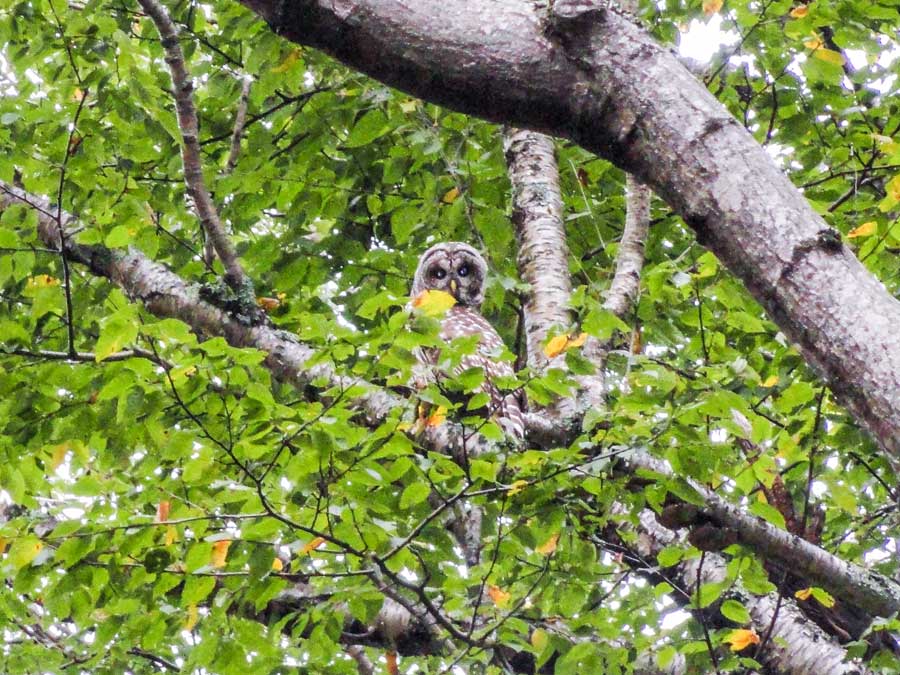 |
During the Fall and Winter, sometimes a few lucky people will see Barred Owls. Barred Owls nest in the Durham Valley and lower eastern escarpment. After they are done nesting, they often move up to the Eastern Escarpment. The Eastern Escarpment has lots of chipmunks and rabbits for them to prey on. If you hear birds screaming and mobbing in a tree, look for an owl. In the Fall and Spring you can sometimes see Saw-Whet Owls during their migration. They can often be heard hooting at night. |
|
 |
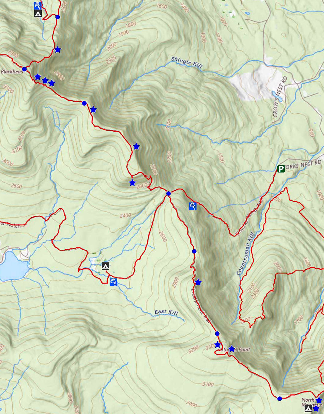
When you get to the bottom of the notch in the Eastern Escarpment, you will be at Dutcher's Notch. Mile post 13.47. There is a 4-way Trail Junction. STRAIGHT will take you to Stoppel Point and North-South Lake and the Southern part of the Escarpment Trail. Before you continue STRAIGHT, seriously consider your need for water.
Important Note: This is your last chance to get water for the next 24 hours. Do NOT leave Dutcher's Notch without water!
There are two water sources:
(1) Going LEFT is a Spring about 1/4 mile away on the rights side of trail. BUT it dries up in the summer months.
(2) Going RIGHT is a stream about 3/4 mile away by a primative campsite & stream. Always reliable, but further away.
After getting water and returning to Dutcher's Notch, head towards Stoppel Point and North-South Lake.
|
|
 |
 |
If you go LEFT at Dutcher's Notch, to get water at the Spring, this is the what the trail looks like.
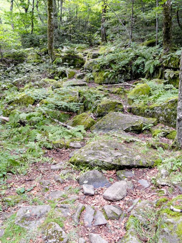
This trail is the old Cairo and East Kill Turnpike built around 1836. The DEC turned it into a hiking trail in the early 1970's. The old turnpike is quite rocky and has severe erosion. Parts of the trail have been diverts slightly. |
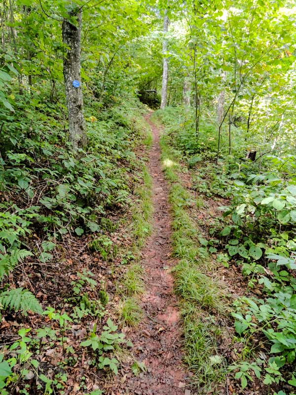
About 1/4 mile down the trail is a water spring. During some summers it will dry up. It is easy to miss, so pay attention if you need water. The Spring is on the right side of the trail. After you get water return back to Dutcher's Notch. Then head towards Stoppel Point and North-South Lake. |
|
 |
 |
After getting water, continue STRAIGHT on the Escarpment Trail towards Stoppel Point and North-South Lake. |
At the beginning of the trail, it will head uphill for about 200 vertical feet. The trail will then level out for a nice walk for about a 1/2 mile. |
|
 |
 |
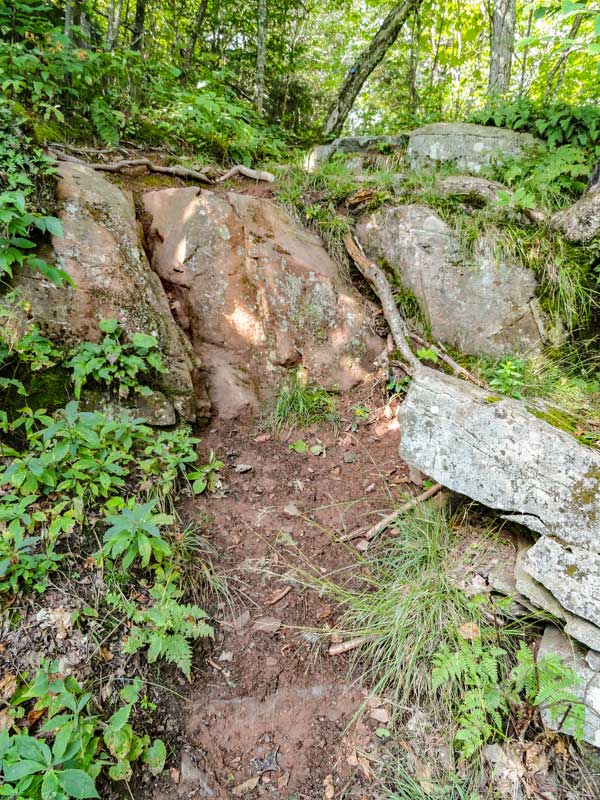
The trail will then head uphill again. This is the most difficult part of the trail, which isn't that difficult. This rock is about 3' high. Fairly easy to get up.. |
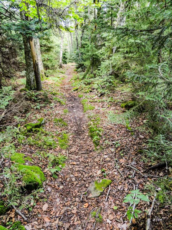
As you approach 3,000' the forest will start to change to a conifer forest, and the trail will level off again for another 1/2 mile. |
|
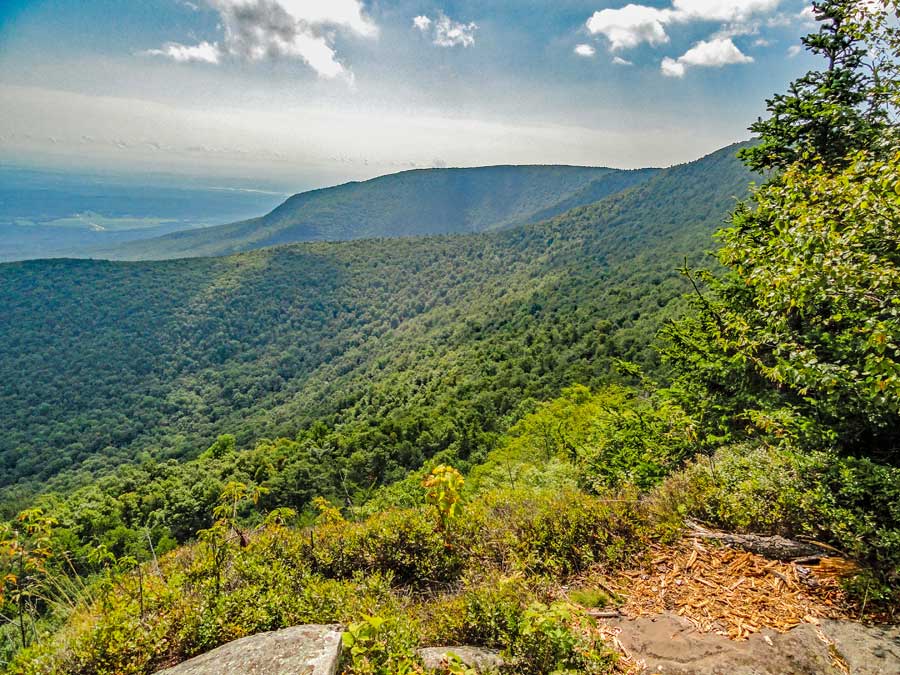 |
Mile Post 15.16. This is view point is called Milt's Lookout, between Dutcher's Notch and Stoppel Point. It over looks Countryman Kill Valley. The ridge in the background is Little Stoppel Point. Over Little Stoppel Point is Winter Clove Valley. The far reaching mountain is North Mountain. |
|
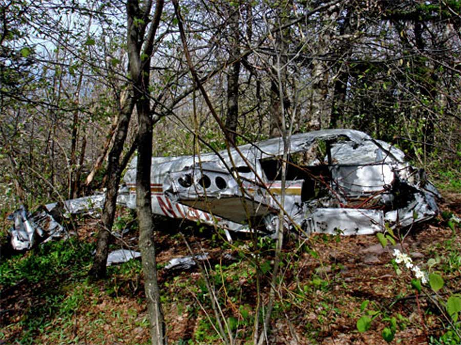 |
Just before you reach Stoppel Point, you will encounter a plane crash. The picture on the LEFT is the plane crash that is right next to the trail. You are at Mile Post 16.01. You can't miss it. If the pilot has been 25' higher, he would have not crashed. If you have a GPS, you can track it with "Air Crash 2" on geocaching.com. The pilot was John T Grace flying the pictured Piper PA-28 (#N1316T). He crashed on May 25th 1983 at 9:40 AM. He was killed in the crash. He left Poughkeepsie at 9:12 AM and was flying to Watertown, NY. He had a revoked student pilot's licence. He didn't file a flight plan.
There is a second plane crash that is Northeast of Stoppel Point at elevation of 2,800 feet. It is located in a VERY difficult and steep section of the mountain. It is accessible from the valley by following up the stream. From the top, it can only be accessed with climbing gear and ropes. This crash was piloted Timothy Burns, who was a very good pilot. The crash occurred on December 15, 1989 and killed 6 people. The plane was a Piper Navajo with registration #N45CH. He was flying in a snowstorm, and was flying NVR. There are 7 known plane crashes on the Eastern Escarpment. |
|
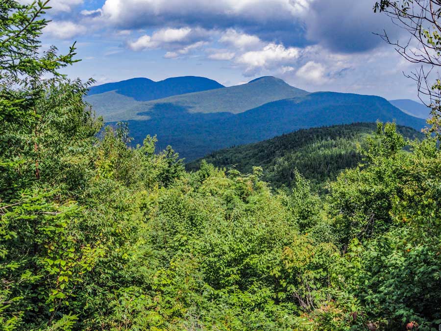 |
This is the second view point near Stoppel Point. It is located just beyond the plane crash #1. In this picture you can see Acra Point, Dutcher Notch, Blackhead Mtn, Blackdome Mtn, and Thomas Cole. |
|
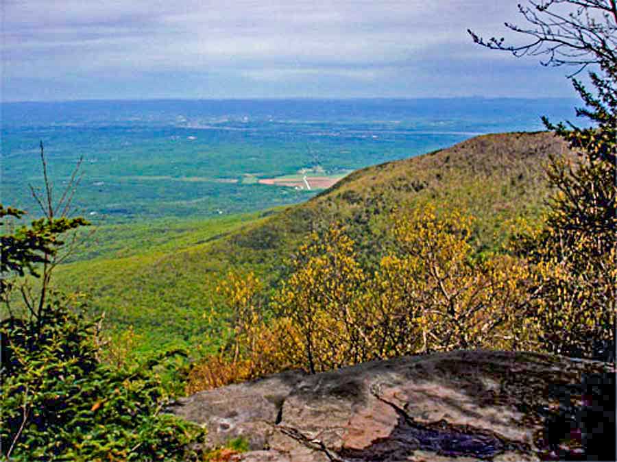 |
This is the view point from Stoppel Point. It overlooks Little Stoppel Point in the ridge on the left side. In the center is Winter Clove Valley. On the right is North Mountain.
In the distance is Catskill NY and Hudson NY. Beyond that is Massachusetts. |
|
 |
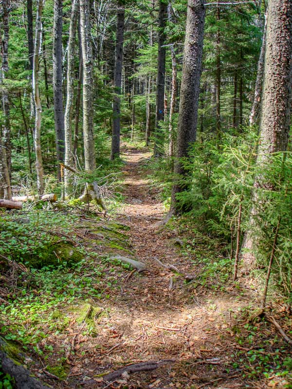 |
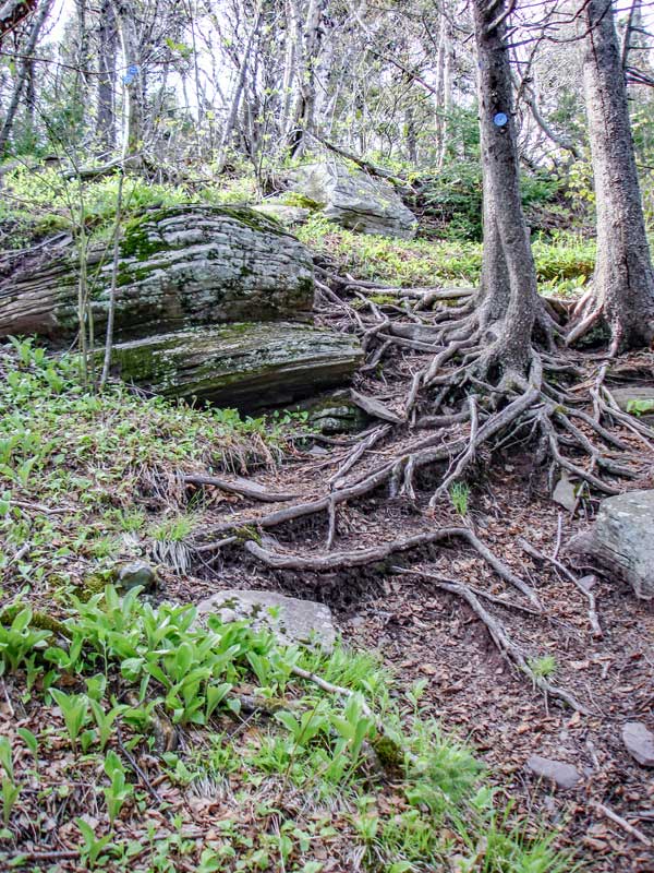
Just south of Stoppel Point there is a small decline down from to Stoppel Point. After the short decline, the trail will be flat for the next 1-1/2 miles to North Mountain. Very similar terrain that you encountered earlier in the day. |
The trail will look similar to this for the next 1-1/2 miles. Some of the best hiking through conifer forest in the Catskill Mountains. |
|
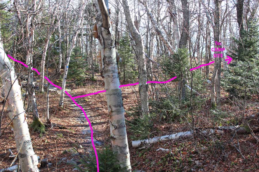 |
After you pass North Mountain, you will start to descend slightly. There will be a location where you can leave the trail for the hidden campsite. The hidden campsite on North Mountain is about 450' off the Escarpment Trail. Initially you should look for an opening of the forest on the right of the path.
If you go too far, the trail will turn 90 degrees to the left, and you will come to an opening on a large flat ledge slab. Turn around and go back into the forest and look for the opening. If the leaves are not on the trees you can see the rim. In the summer months you may not be able to see the rim. Camp site - GPS: N42 13.027 W74 02.760 OR 42.217117,-74.046 using WGS84
|
|
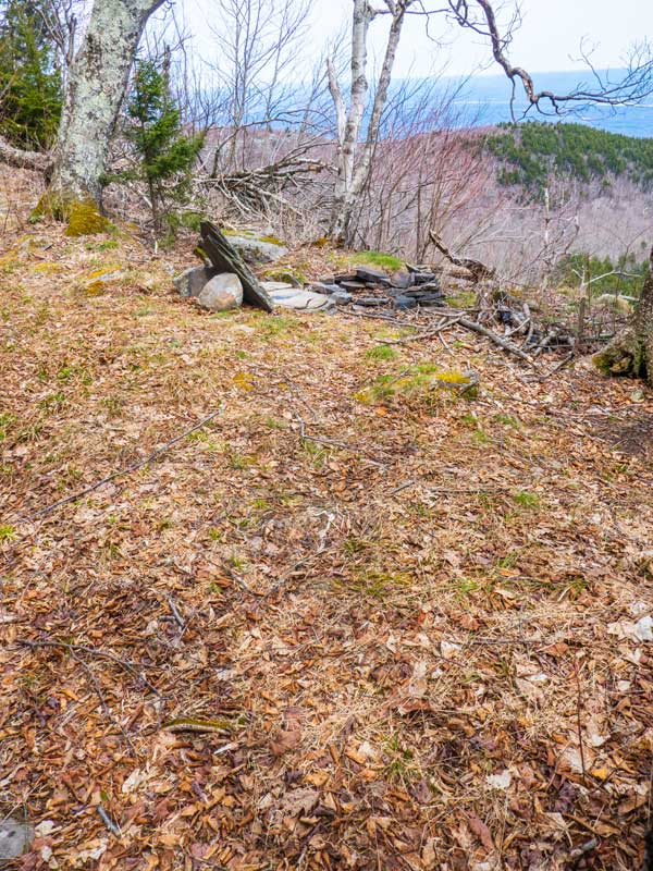 |
The picture shows part of the hidden campsite. Off the rim you can see North-South Lakes and the Hudson River. There is a fire ring and an cooking table. There is room for about 3-4 tents. This campsite is rarely used because most people don't know about it.
As you walk in the opening head for the rim while turning very slowly to the right. Follow the rim. You will get to a point where you cannot follow the rim because there is a lot of brush. Move away from the rim and climb up on large rocks and then follow the rim. After a short distance, you will be able to return to the rim. After you walk past two conifer trees that are very close together, you will come to the hidden campground. Camp site - GPS: N42 13.027 W74 02.760
If you choose to not camp here you need to beware that you cannot camp below North Point. The North-South lake campground boundary comes up to the edge of North Point. If you camp inside the North-South Lake campground boundary expect to be ticketed from the DEC. The campgrounds are another 3-4 mile hike. The campgrounds are almost always booked! This region is the best place to camp.
There is NO water at this campsite, or anywhere nearby! Get your water at Dutcher's Notch. |
|
N o r t h P o i n t L o o k o u t # 2 |
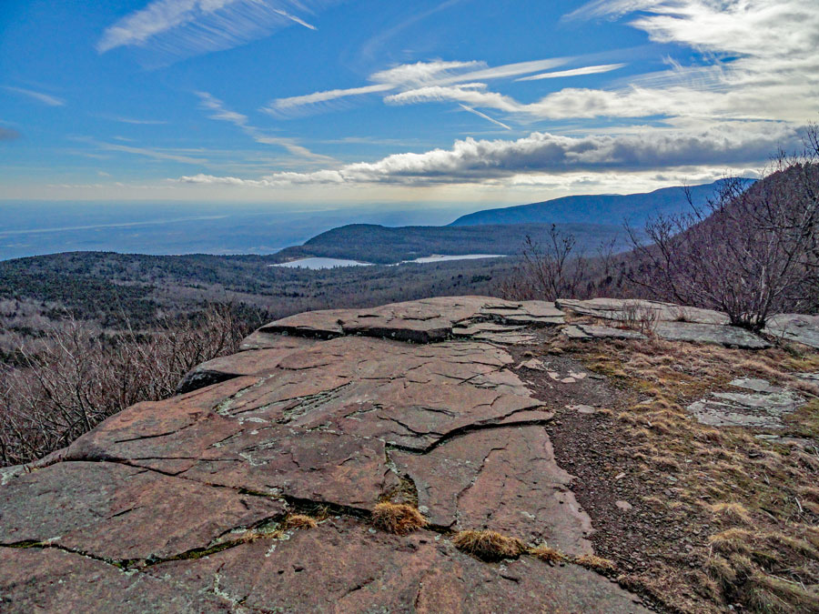 |
On the 3rd day, leave your camp site and head back to the Escarpment Trail. About 1/4 mile down the Escarpment Trail, you will come to Lookout #2.
The picture above is Lookout #2 near North Mountain. It is a short distance after a cutoff for the hidden campsite on North Mountain on the southern rim. On a clear day it has a great view over North-South Lake and the Hudson River Valley.
|
|
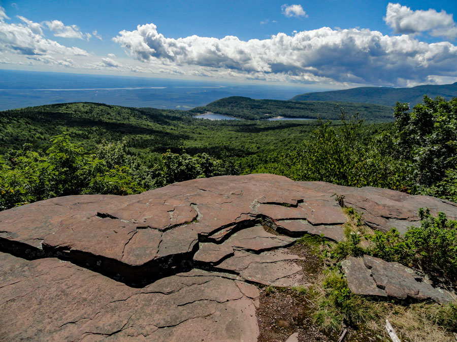 |
The picture on the LEFT is Pocket Hole Ledge. There is a large rock on the ledge. We stood on top of this rock to get this picture. It is half way between Lookout #1 (North Point) and Lookout #2. The mountains in the background of the picture are (from right-to-left) is Acra Point, Dutcher Notch, Blackhead Mtn, Blackdome Mtn, and Thomas Cole. On the very left you can see Stoppel Point.
|
|
 |
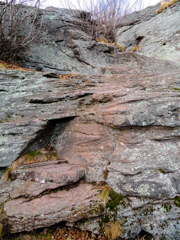 |
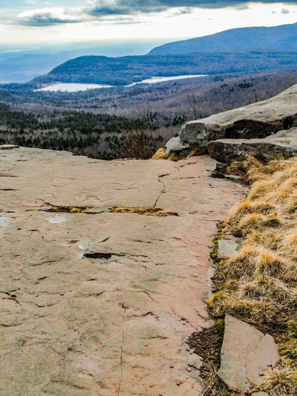
This is North Point Lookout #1. You will continue on the Escarpment Trail at this point, and descend down below here and then turn to the left. |
There is a ledge about 5 feet high that you will need to descend. |
|
 |
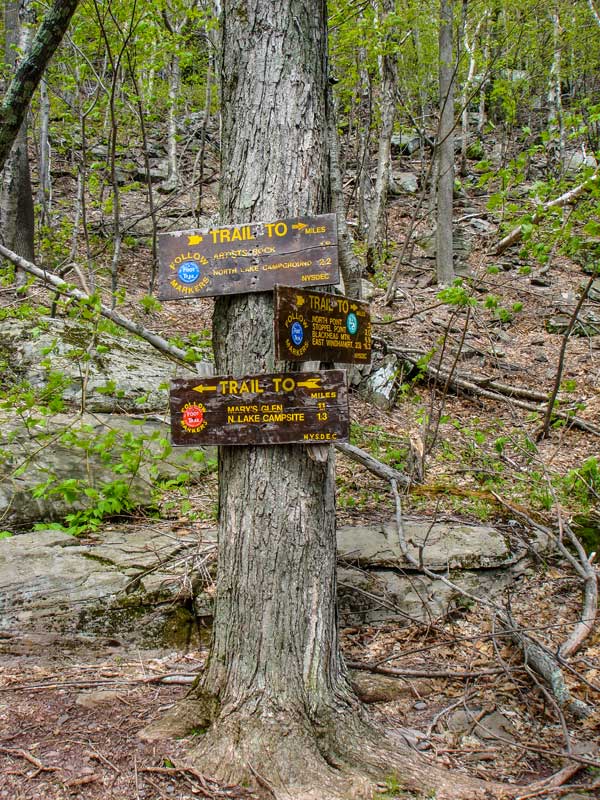 |
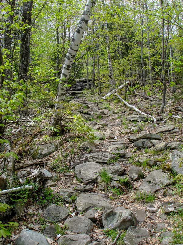
You will descend off the rim down some steeper and rockier sections You will encounter a few switchbacks. At the bottom of the descent, you encounter a trail junction |
At the Trail Junction you can go right or left. You want to go LEFT. Right will take you down to the entrance of the North-South Lake campgrounds. LEFT will continue down the Escarpment Trail. |
|
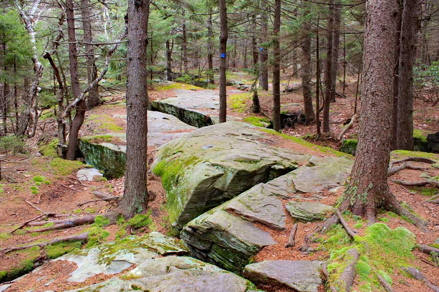 |
For the most part, the trail will be flat with a few minor descents.
There are some real pretty sections to this trail. |
|
B a d m a n C a v e |
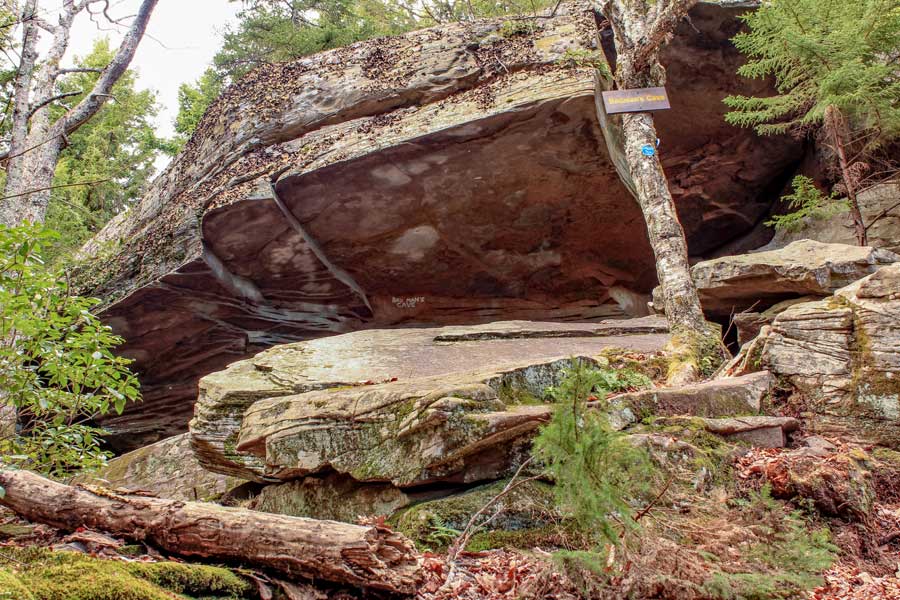 |
At mile post 19.01, you will come to Badman's Cave. You want to descend down towards the bog. There are some larger rocks you will need to descend down. Once you get down to the bog, you want to go LEFT. Right will take you to the North-South Lake Campgrounds through a series of trails.
Bad Man's Cave was used in the 1700's and 1800's by criminals. They would commit crimes in the valley and then run to the Catskill Mountains and hide at this rock overhang until things cooled off. |
|
B O G # 3 0 8 |
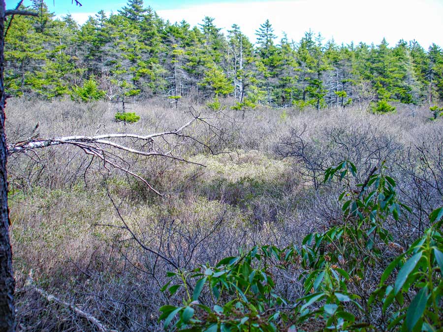 |
Mile post 19.02. This bog is approximately 3,430 years old (calculated by radiocarbon dating) and is 23 inches deep. It is called Bog #308. It is the 7th oldest bog in the Catskill Mountains. Bogs are typically very acidic with a pH of 3.5 to 4.0. This preserves plant life for thousands of years. This information is important for scientific research. This information comes from Michael Kudish's book, "The Catskill Forest - A History" (page 15). |
|
N e w m a n ' s L e d g e |
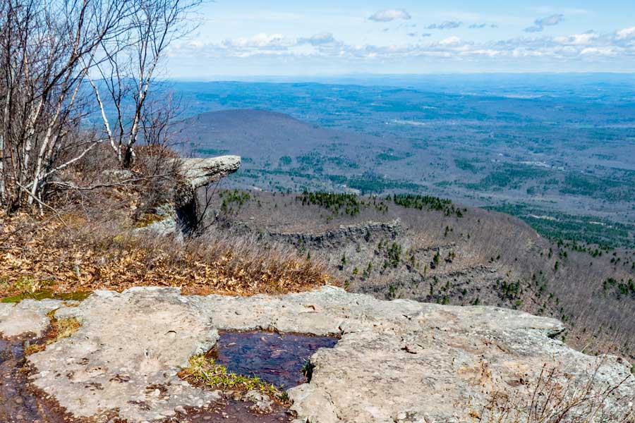 |
At mile post 19.58 you will encounter Newman's Ledge. Newman's ledge has a spectacular view over looks the Hudson Valley.
The Picture is looking north. You can see Rip's Ledge below Newman's Ledge. In the distance is Roundtop Mountain. In the far distance is Albany NY. At Newman's Ledge, you will get a good view of the Hudson Valley and the Hudson River.
After walking down a steep hill you will encounter another trail junction. This is an optional side trip. It this very short trip that has one of the best views in the Catskill Mountains. The DEC has mismarked it as "Sunset Rock". It is actually called "Bear's Den". |
|
B e a r s D e n |
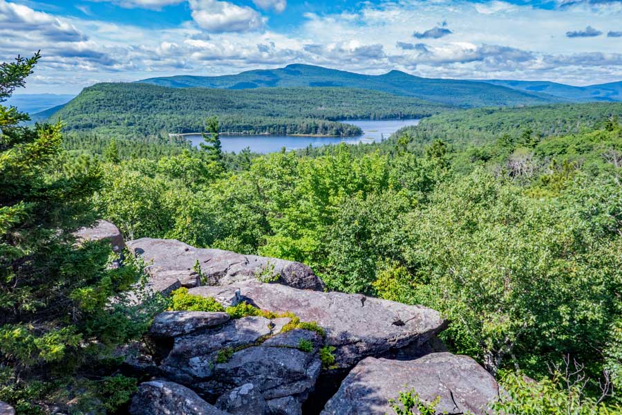 |
Bear's Den is at mile post 19.98. If you take this side trail, there is a short and easy walk to Bear's Den. It is one of the best views in the Catskill Mountains on a nice "bluebird day".
The DEC has mismarked it as "Sunset Rock". The correct name is, "Bear's Den". GPS: N42 12.321 W74 01.858. 100 Years ago, there was a wooden ladder on the south side of Bear's Den. It was called Jacob's Ladder. There are some people who believe that some of the steep areas are called Jacob's Ladder, but this is not the case.
After you are done enjoying the view, just reverse your course back to the Escarpment Trail. This is a side trip, but this very short trip has one of the best views in the Catskill Mountains. Once back to the Escarpment proceed to the next view point, Prospect Ledge. |
|
P r o s p e c t L e d g e |
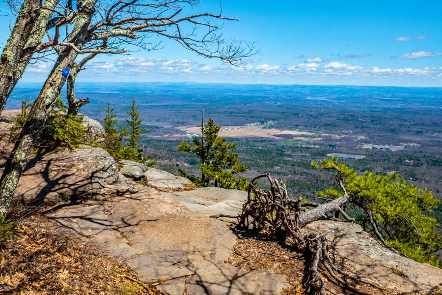 |
At mile post 20.65 you will encounter a long ledge. The DEC sign states that it is Artist Rock. This is incorrect. It is actually PROSPECT ROCK. This is a very long ledge that is a couple hundred feet long. GPS: N42 12.127 W74 01.770 |
|
A r t i s t R o c k |
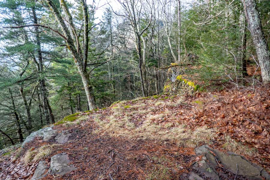 |
At mile post 20.92 you will see Artist Rock on the left side off the trail. Many years ago, you could see Catskill Mountain House from this location. The trees have grown up, and are blocking the view. The old Catskill Mountain House was located at the base of South Mountain, which is the mountain you see behind the trees in the picture. Many famous painting were done of Catskill Mountain House during this period. This famous location was used by the Catskill Mountain House on their letterhead logo. |
|
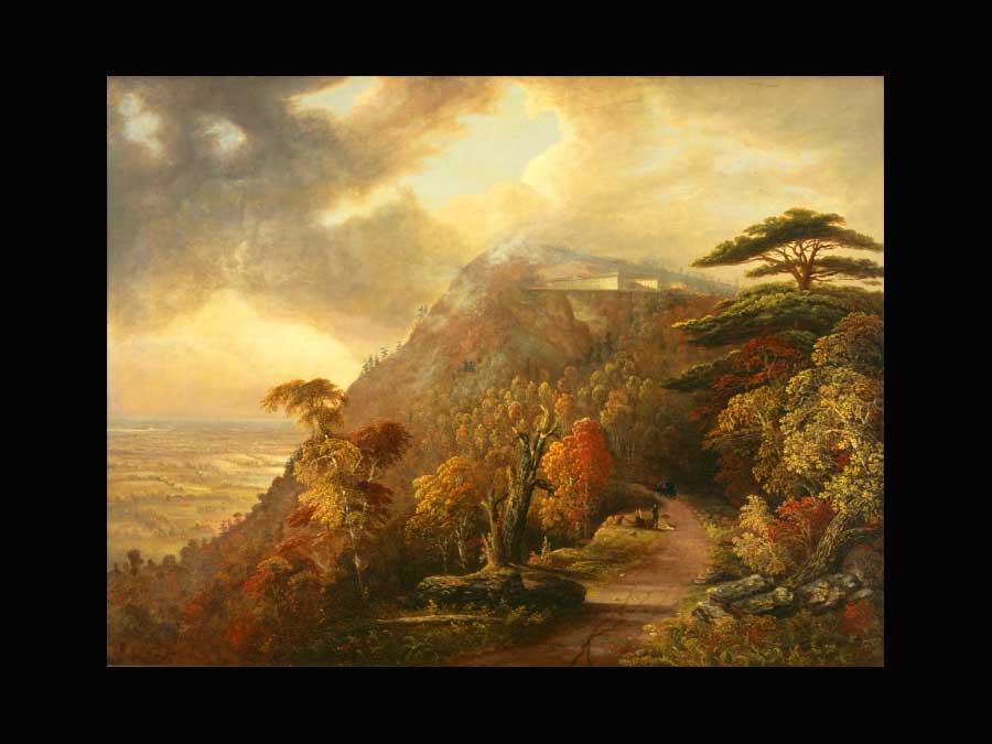 |
This is one of several famous painting done from Artist Rock. This painting was done by Dewitt in 1884. |
|
 |
 |
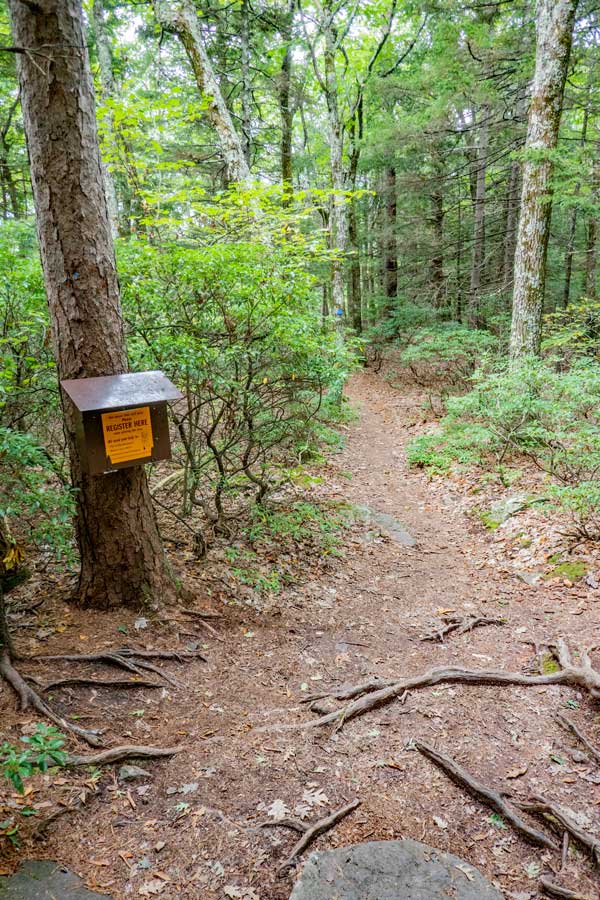
You will find this DEC registration box around Artist Rock. Good idea to register again.
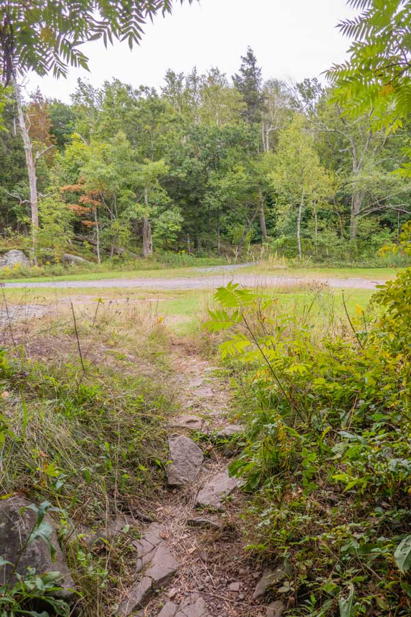
After you leave the registration box, you will see a viewing platform. Keep going STRAIGHT.
There is also a trail junction on your left for the Sleepy Hollow Trail. It will have RED Trail Markers. Keep going STRAIGHT until the trail seems to end. You will also see some campgrounds.
There is water at the brown building when the campground is open. |
At mile post 21.14 is a Trail Junction where you can go right or left. You want to go LEFT up the gravel road. Right will take you down to North Lake Beach. LEFT will take you to the old Cog Railway Station and to the Catskill Mountain House location on the Escarpment Trail. |
|
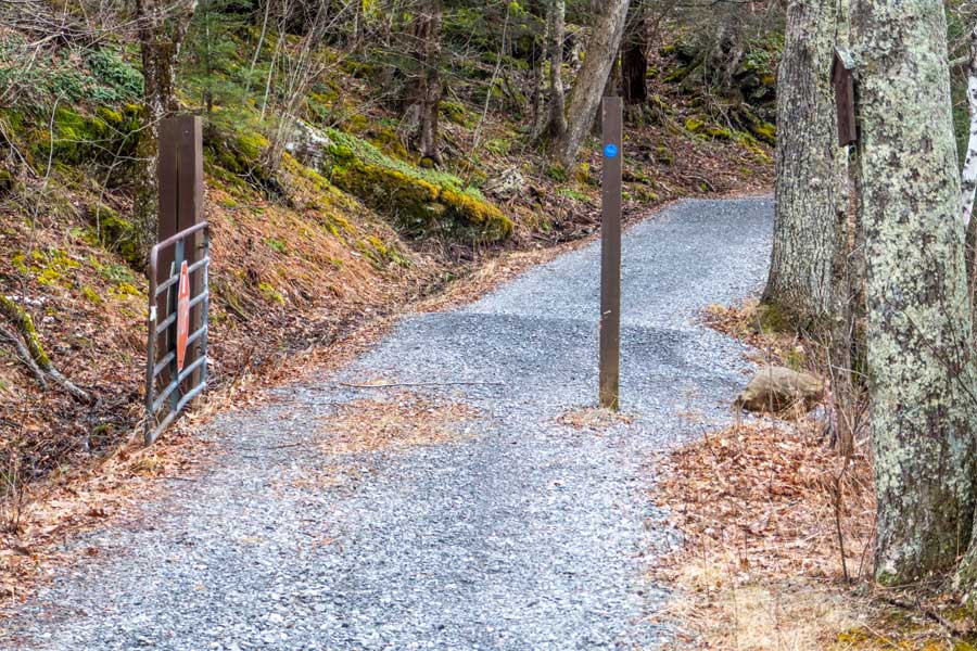 |
At mile post 21.22 you need to look for this gate with the Stop Sign on it. Walk around it and walk up the hill until you come to a trail junction. |
|
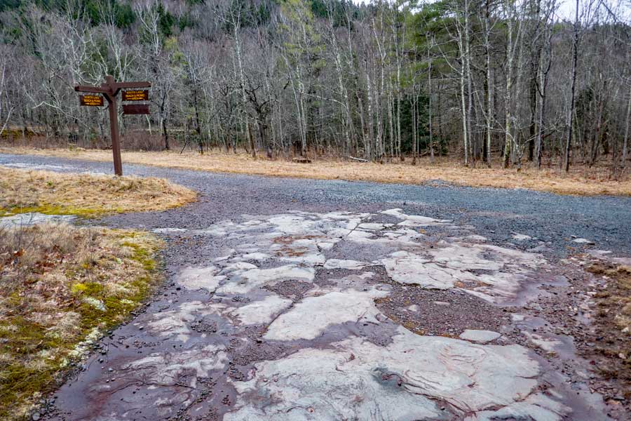 |
At mile post 21.36 is a Trail Junction, you need to take a LEFT. Left will take you to the Catskill Mountain House site. Right will take you to the North-South Lake campground service road.
When you walk up the old road to the Catskill Mountain House, you will come to a large lawn. This is the old Catskill Mountain House site. |
|
C a t k i l l M o u n t a i n H o u s e |
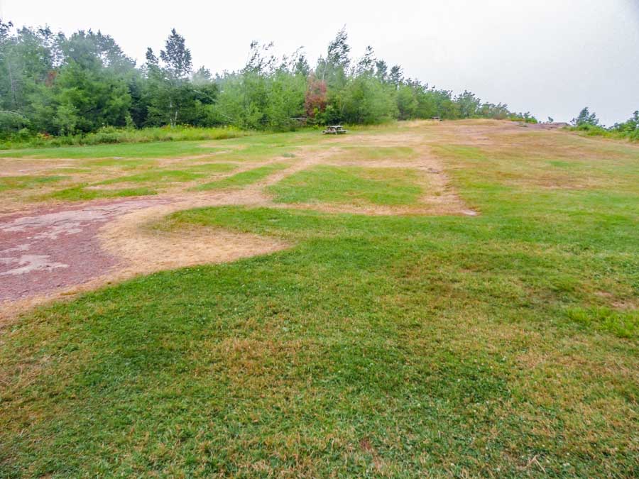 |
At mile post 21.47 (elevation 2,211') you will come to the old Catskill Mountain House Site. There is a beautiful view from the ledge overlooking the Hudson Valley. The Hotel existed from 1824 until 1963. When the DEC purchased the land, they got the Catskill Mountain House with the land purchase. But, they never maintained the hotel, and it fell into disrepair. The DEC then burned it down in 1963.
This is also an excellent spot for Lunch. There is a picnic table. There isn't any water here. Nice views on a good day, and a good spot to rest. This spot can get quite busy in the summer.
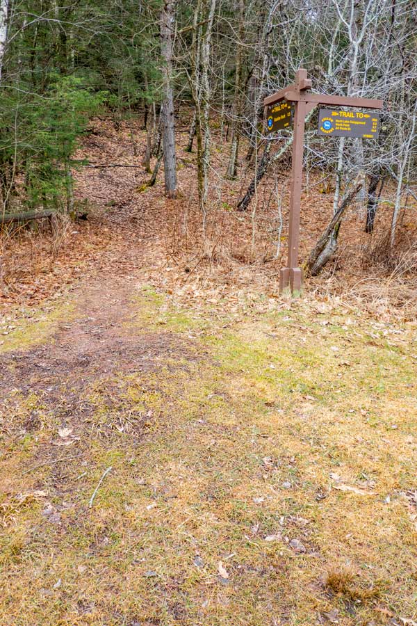
Once you are done roaming around the Catskill Mountain House site, the trail continues on the south side. Look for the Kiosk. The trail then goes up the hill. There is also a DEC Registration box at the beginning of the trail. |
|
 |
 |
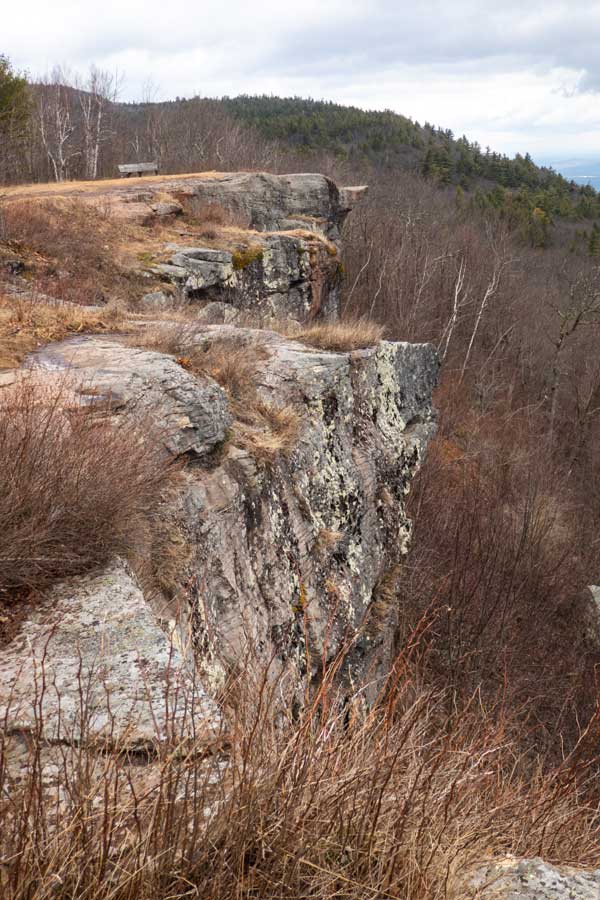
This is the edge of the ledge by the front porch of the Catskill Mountain House. The anvil part of the ledge is where an Egyptian man was burned at the stake around 1650. He had courted Chief Shandakan's daugher, Lotowana. When Lotowana choose someone else he murdered Lotowana on her wedding day. He was burned at the stake in front of hundreds of other Indian tribes around the Northeast of the United States. Chief Shandakan then moved his tribe to Ulster County after these Mohonk Indians had lived in this region for 8,000 years. Lotowana was buried by an old oak tree near North Lake. For many years after this event the Mohonk Indians would brutally raid, kidnap and kill white people in the valley. |
To continue on the Escarpment Trail, go to the right side of the field (near the Koisk) by the ledge edge, is the continuation of the Escarpment Trail. There is another DEC Registration Box right after you enter the woods. The trail will then climb up about 200 vertical feet through some rocky terrain. |
|
S p h i n x |
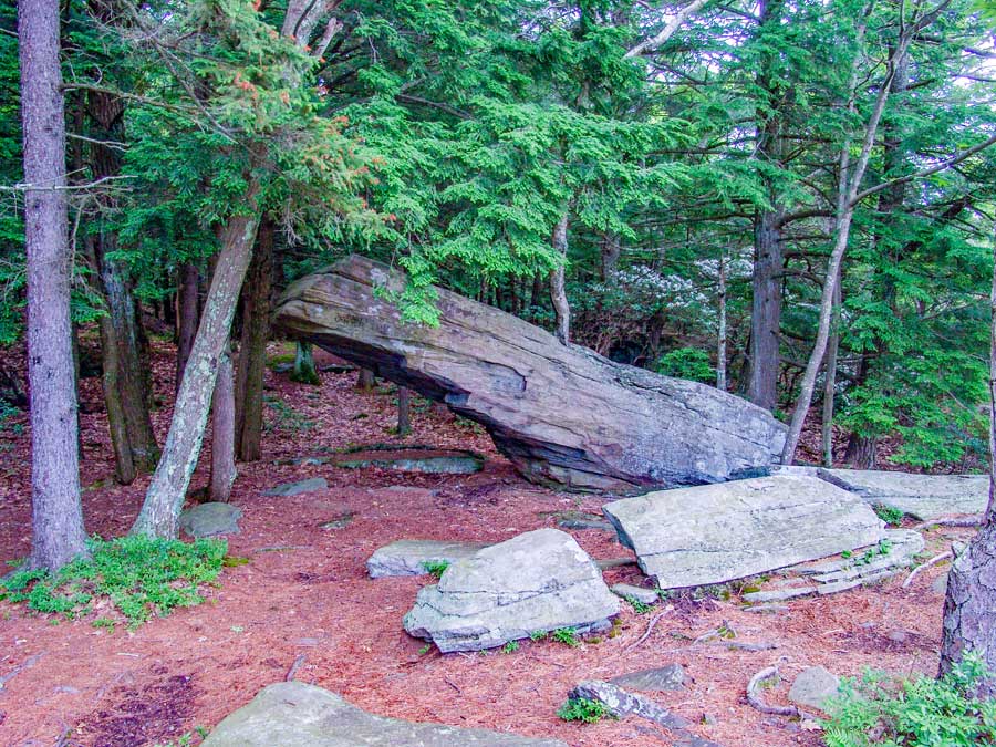 |
At mile post 21.70 you will encounter the Sphinx. After climbing about 200 vertical feet up a moderately steep trail, you will reach a flat section of the trail the top of the hill.
There is another large rock called the Sphnix far above Bastion Falls on the corner of the Kaaterskill Clove and Kaaterskill Falls Clove. |
|
E a g l e L e d g e |
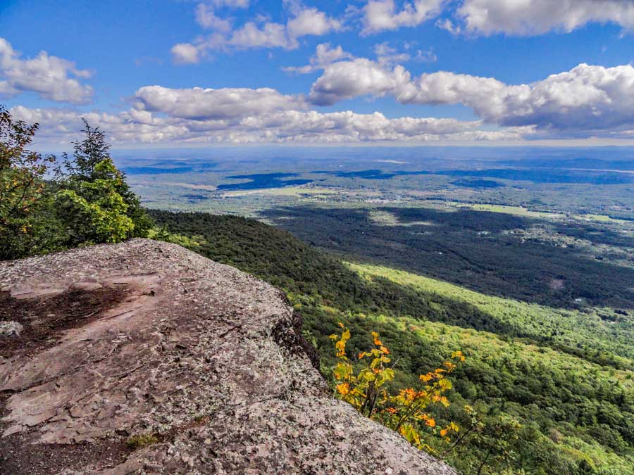 |
At mile post 21.75 you will enencounter the Eagle Ledge. It has a great view over the Hudson Valley. On a clear day you can see the Hudson River From Albany region to Kingston. |
|
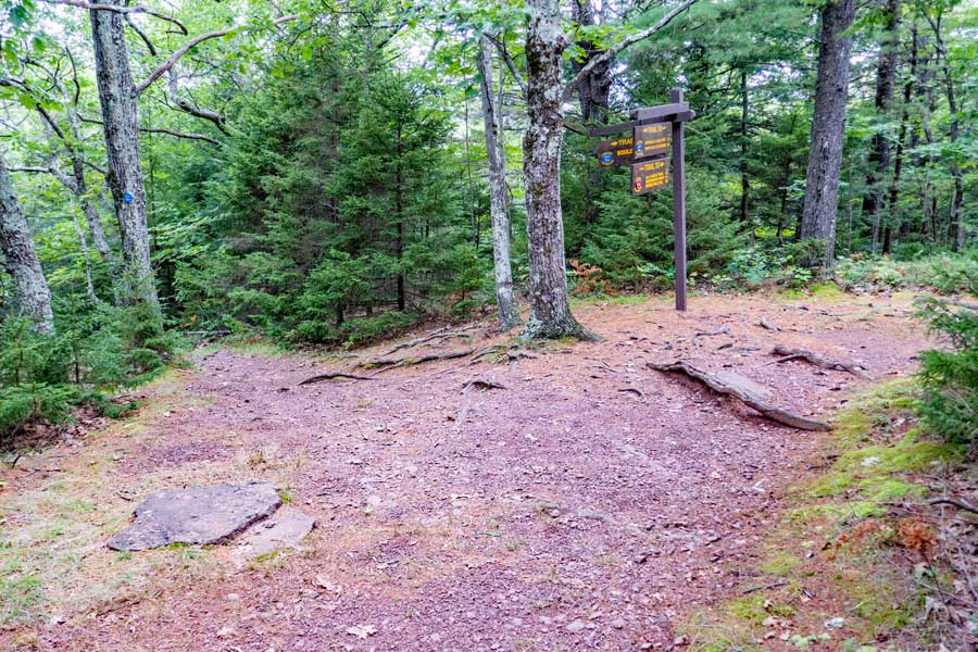 |
About 850 feet south of Eagle Ledge is the Trail Junction for Boulder Rock. You want to take a LEFT to go to Boulder Rock. Right will bypass Boulder Rock. |
|
B o u l d e r R o c k |
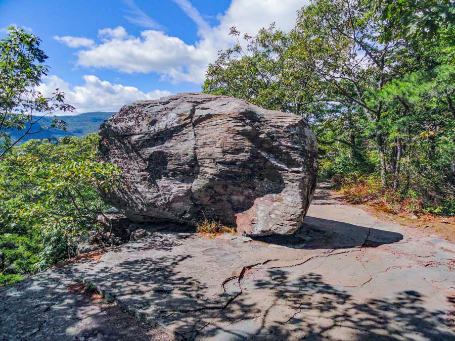 |
After about 2/10 of a mile you will come to Boulder Rock. Sadly, much of this region is overgrown, which limits some of the views. There are several ledges around Boulder Rock. If you walk far enough north, you will find the primary USGS Survey post that was used to survey the entire Catskill Mountains around 1825. There are some blueberry bushes here, but the berries are small. They are ripe around the middle of July.
|
|
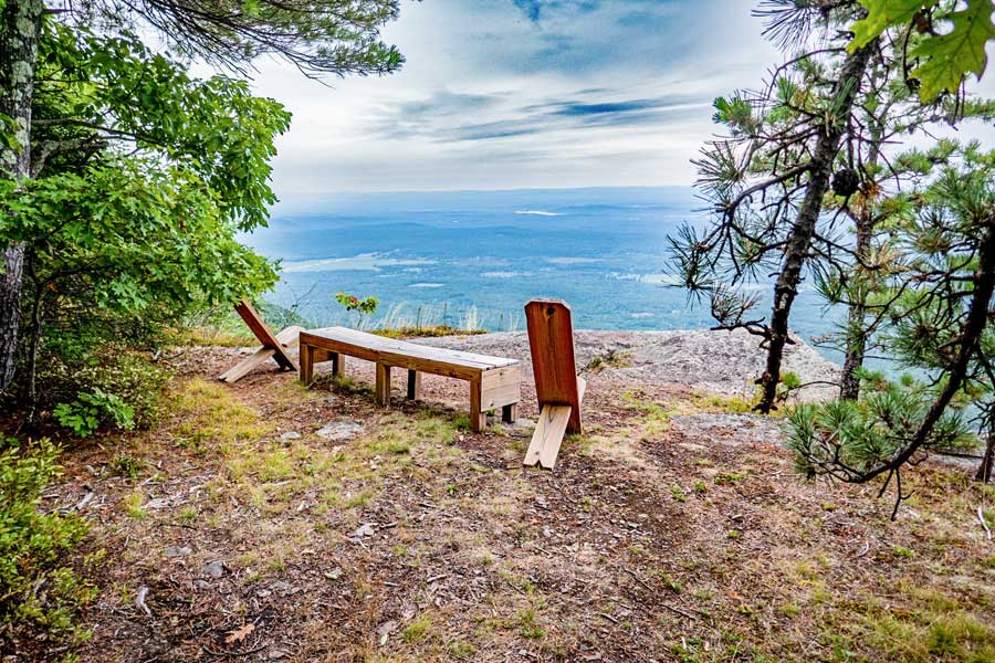 |
Next to Boulder Rock is another view of the Hudson valley.
After you done at Boulder Rock, continue on the Escarpment Trail. You will encounter Split rock. It is real close to Boulder Rock. |
|
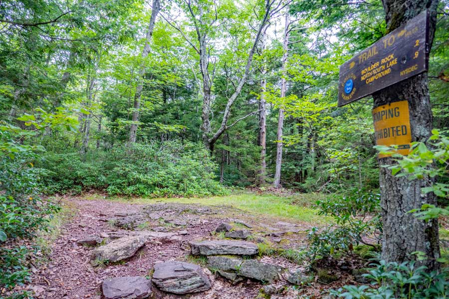 |
After a short distance you will come to a trail junction. This is mile post 22.22. Right will be the other side of the short-cut around Boulder Rock. LEFT will continue on the Escarpment Trail to the Kaaterskill Hotel Ruins.
In the 1800's this was the beginning of a wagon trail that was used to transport hotel patroons from Kaaterskill Hotel to Boulder Rock. They turned around at this Trail Juction. |
|
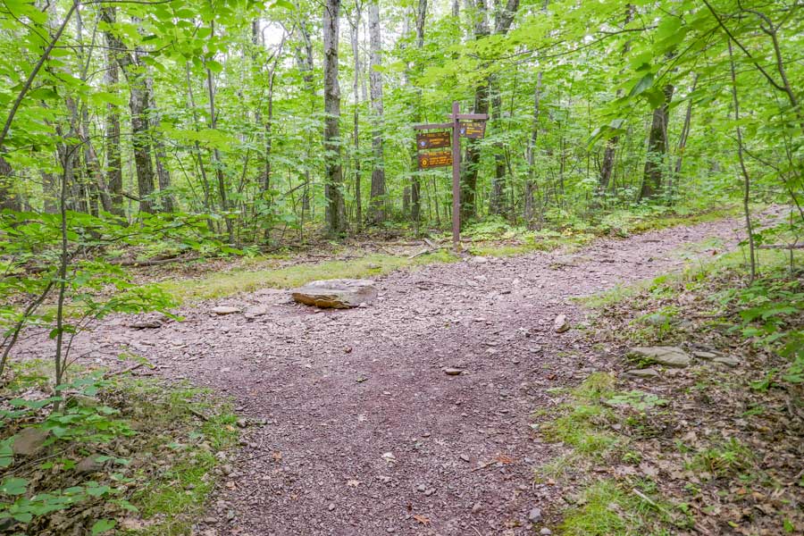 |
After hiking about 2/3 of a mile (Mile Post 22.86), you will come to a new Trail Junction. Right will take you to the old Kaaterskill Hotel ruins site. You want to go LEFT to the Southern part of the Escarpment Trail. The Southwestern part of the Eastern Escarpment Trail overlooks the Kaaterskill Clove. It has some incredible views.
NOTE: There are 3 cases where you would want to skip the Southwestern part of the Escarpment Trail:
(1) In the winter (below freezing due to ice flows and/or snow).
(2) If you have young children.
(3) or you are afraid of heights
In these cases go RIGHT - then in 25' go left (downhill). In 1 mile you will come to a 4-way Trail Junction
For Scutt Parking Area - Go STRAIGHT for 1/2 mile.
For Laurel House Parking Area - Go LEFT for 4/10 mile (go over metal bridge).
The Kaaterskill Hotel Site was one of the largest hotels in the United States 100 years ago. It burned down in 1924. Much of the site is now overgrown, and turning back into a forest.
The Southern part of the Escarpment Trail should not be hiked in the Winter months when there is snow on the trail. You can short-cut around the Southern part of the Escarpment here, or another 1/2 mile down the trail. |
|
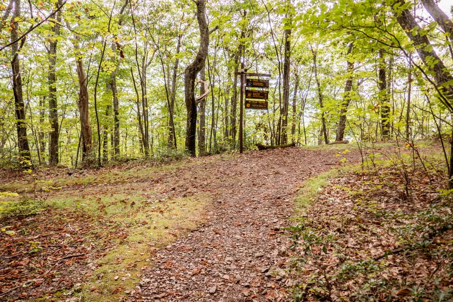 |
At Mile Post 23.36 you will come to a trail junction. Go RIGHT onto the Horse Trail. Left will take you to Palenville Overlook and Harding Trail. Right will be the other side of the short-cut around Boulder Rock. LEFT will continue on the Escarpment Trail to the Kaaterskill Hotel Ruins. |
|
S O U T H W E S T E R N E S C A R P M E N T |
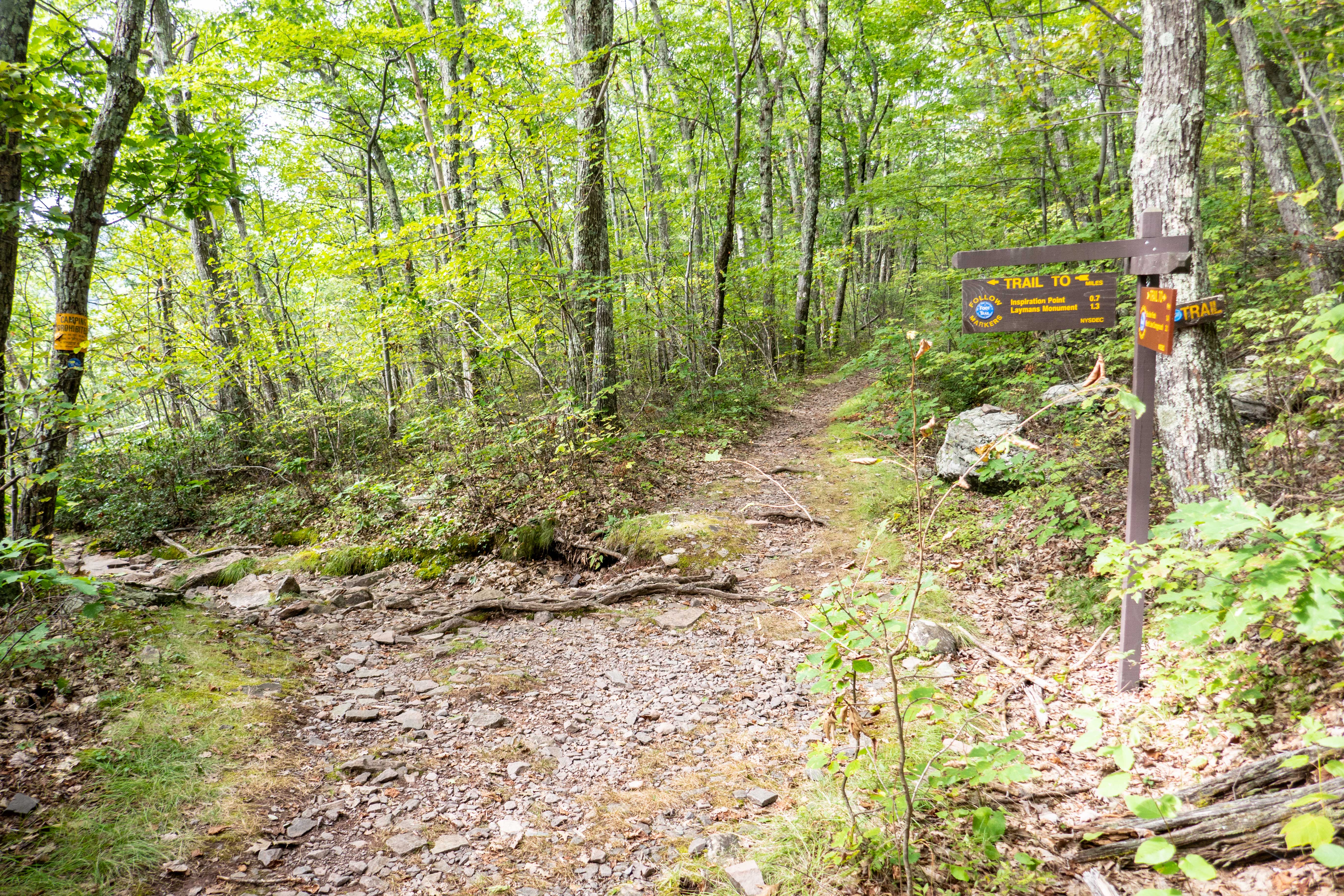 |
At Mile Post 23.42 you will come to a trail junction. Go RIGHT onto the Horse Trail. Left will take you to Palenville Overlook and Harding Trail. Right will be the other side of the short-cut around Boulder Rock. LEFT will continue on the Escarpment Trail to the Kaaterskill Hotel Ruins. |
|
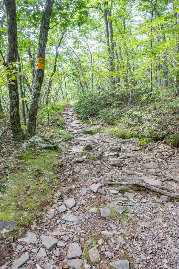 |
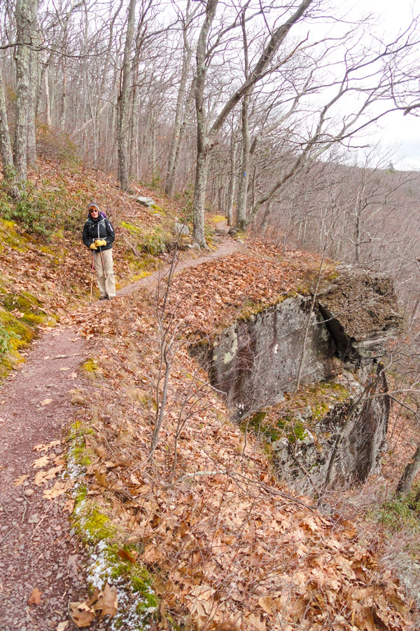 |
This is the beginning of the Southwestern section of the Escarpment Trail. This trail has a number of places where there is exposure. |
In the Fall season, fallen leaves give you more views, but are also slippery. |
|
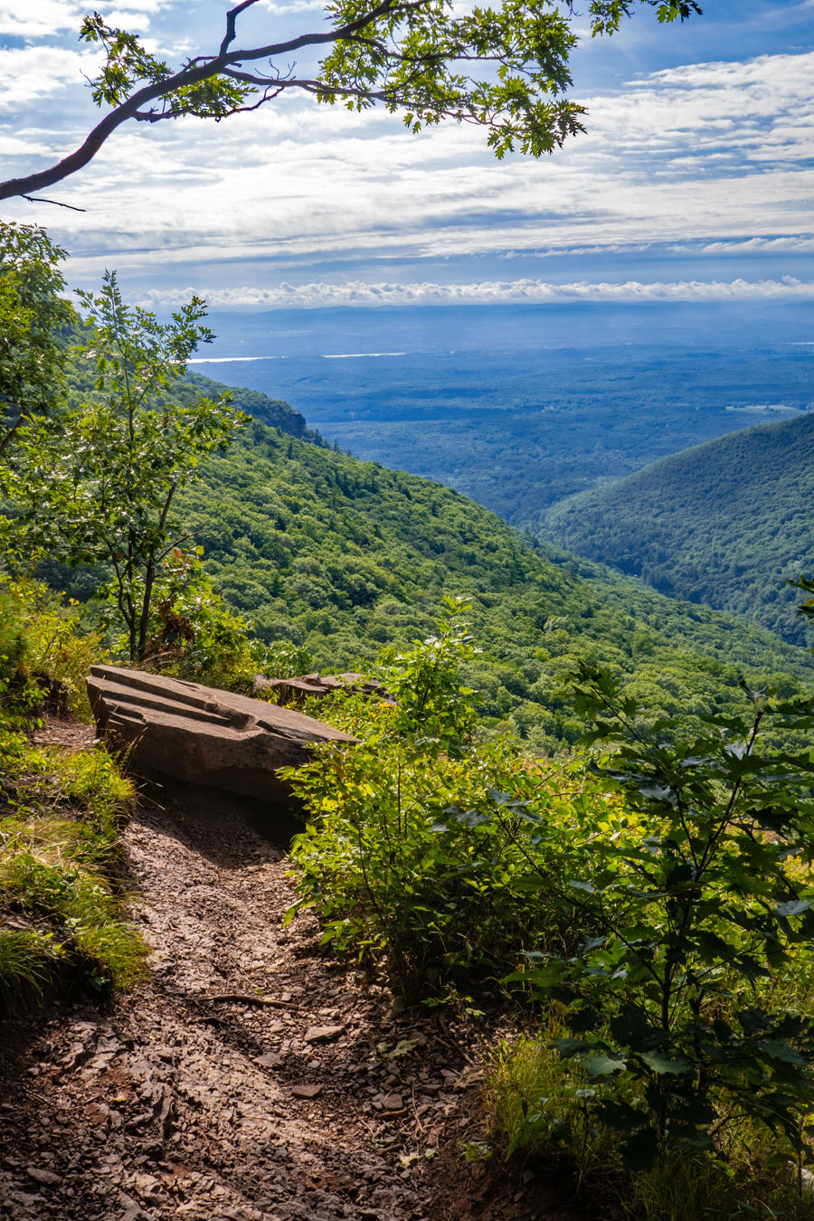 |
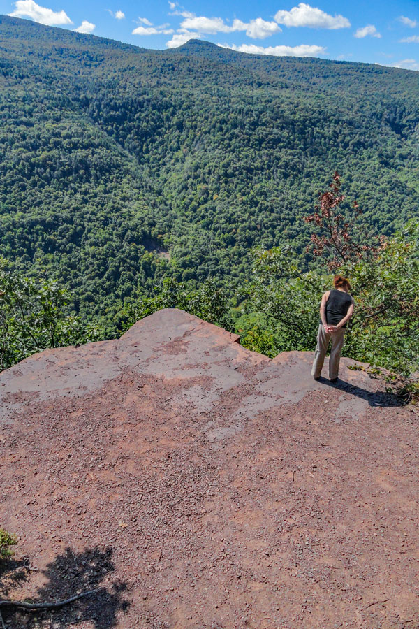
This is Inspiration Point. The views are best in the early morning and later in the afternoon.
Before you reach Inspiration Point, you will see a number of nice view points. The one in the picture is the best one, and also the last view point before you come to Sunset Ledge.
|
|
 |
 |
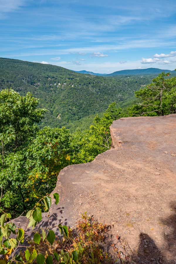
About 650' past Insipration Point, you will encounter Sunset Ledge.
The ledge is actually much bigger then what you see in the images. |
Many consider Sunset Ledge the best part of the hike, so take some time to enjoy this view point.
After you get done here, you need to hike up the rocky and moderately steep section to continue you hike. |
|
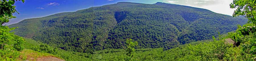 |
From several view points along this hike, you will be able to enjoy a wide view of the Kaaterskill Mountain Range. The peak on the left is Kaaterskill High Point, and the peak on the right is Round Top Mountain.
The Kaaterskill Clove has over 55 waterfalls in it. While most people only see Kaaterskill Falls, Kaaterskill Falls isn't the tallest, nor is it best one. Buttermilk Falls has 9 drops for a total of 549 feet. Many of the waterfalls are very difficult to get to. Some are exceedingly dangerous. |
|
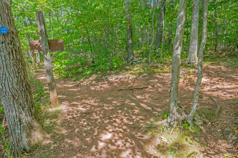 |
After enjoying the views at Sunset Ledge, you will climb up a steep and rocky hill. About 1/4 mile later you will come to this Trail Junction.
Go STRAIGHT. It will lead you to Council's Bluff, Layman's Monument, and the trail junction to the bottom of Kaaterskill Falls. The next 1/2 mile is the most difficult part of the hike. It goes down a steep and rocky path to Layman's Monument, and then climbs back up a steep and rocky path.
Some people will take a right onto the Short-Cut Path to exit back to their car. Look at the map for how to return back to your car. |
|
 |
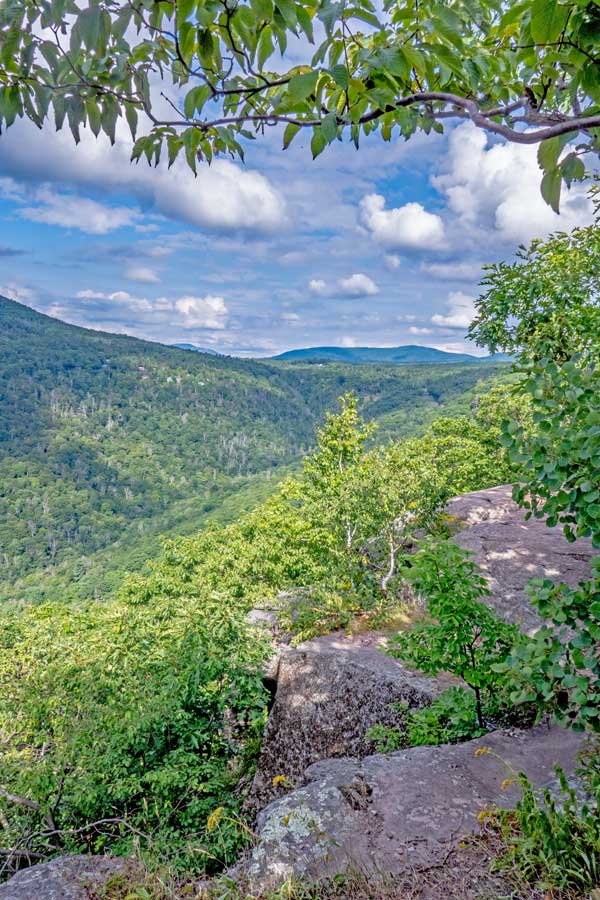 |
Along the way you will come to this small ledge that gives you a nice view of the Kaaterskill Clove. |
A little further down you will come to Council's Bluff. This is where the Mohawk Indians would perform ceremonies in the years prior to 1650. The North-South Lake was abandon by the Mohawk Indians between the years 1650 and 1825. Some Mohawk Indians did live in the general region during that time period. After 1825, the Catskill Mountain House was built. |
|
 |
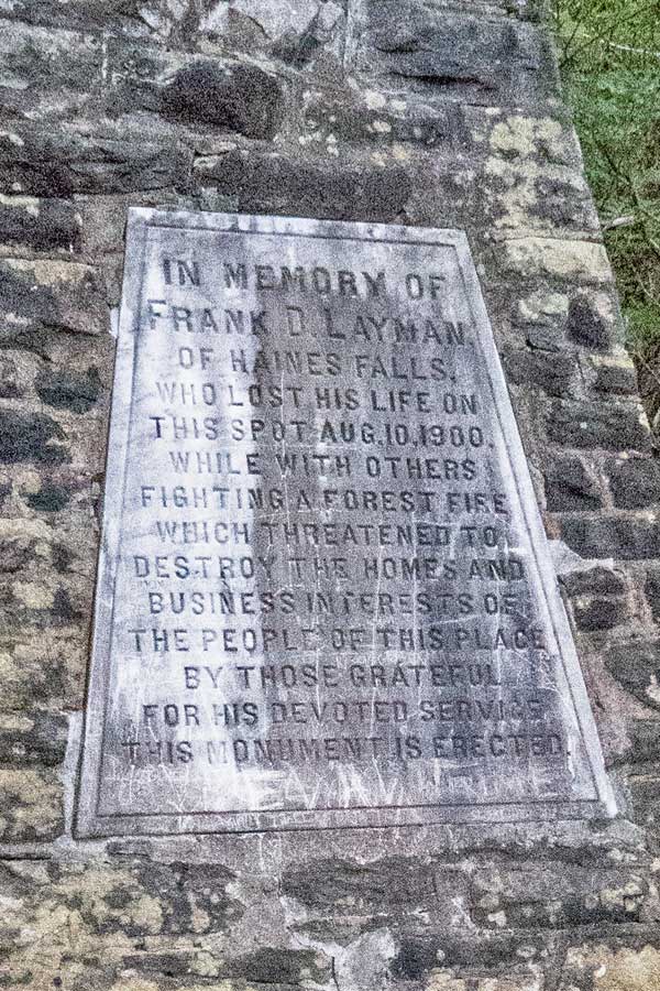 |
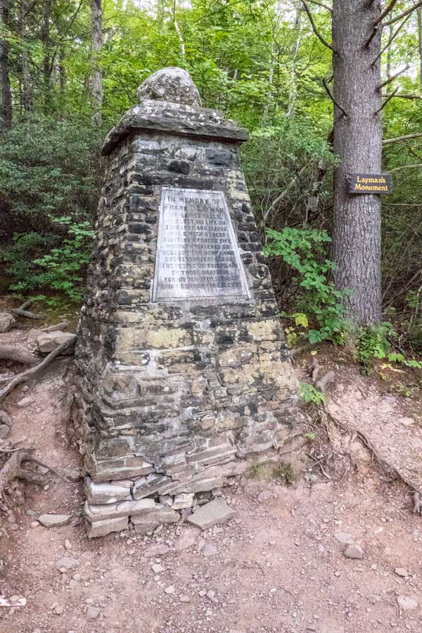
At the bottom, you will come to Layman's Monument. It states, "IN MEMORY OF FRANK D LAYMAN, OF HAINES FALLS, WHO LOST HIS LIFE ON THIS SPOT AUG 10, 1900, WHILE WITH OTHERS FIGHTING A FOREST FIRE WHICH THREATENED TO DESTROY THE HOMES AND BUSINESS INTEREST OF THE PEOPLE OF THIS PLACE BY THOSE GRATEFUL FOR HIS DEVOTED SERVICES THIS MONUMENT IS ERECTED."
In recent years, people have been defacing the monument. Please do not do that. It is disrespectful. |
200 men fought the fire that day. Frank Layman was 25 years old when he died on August 10, 1900. He was paid $5/day to fight the fire. Another worker who jumped off a ledge into jagged rocks to escape. Frank Layman was engulfed in flames before he could get to the ledge. Twilight Park Association paid for the monument to be built. During the summer of 1900, the Summer was hot and exceedingly dry. There was only 18 inches of water left in South Lake. Frank Layman's monument was built where his charred body was found. He had to be indentified by his watch. |
|
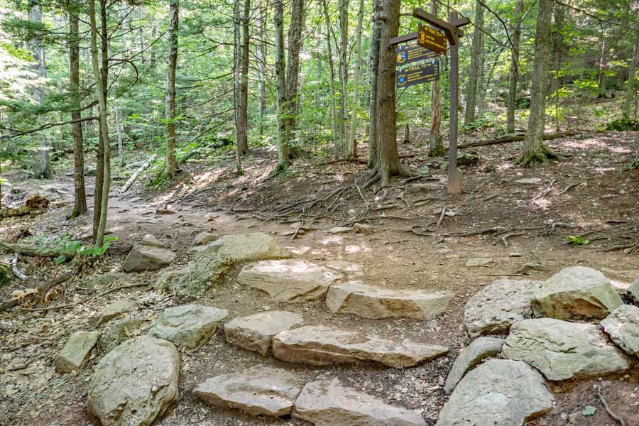 |
After you leave Layman's Monument, you will hike up a steep and rocky hill before it levels out. You will encounter this Trail Junction about 4/10 of a mile later. This Trail Junction is for going to the bottom of Kaaterskill Falls.
For this hike, you want to continue STRAIGHT.
If you want to do a side trip, then you can go left down to the bottom of Kaaterskill Falls. It has several hundred steps and decends down 250-300' in elevation. This is a difficult side trip. You can also do a side trip to the viewing platform at the top of Kaaterskill Falls. If you choose the later choice, then continue straight. |
|
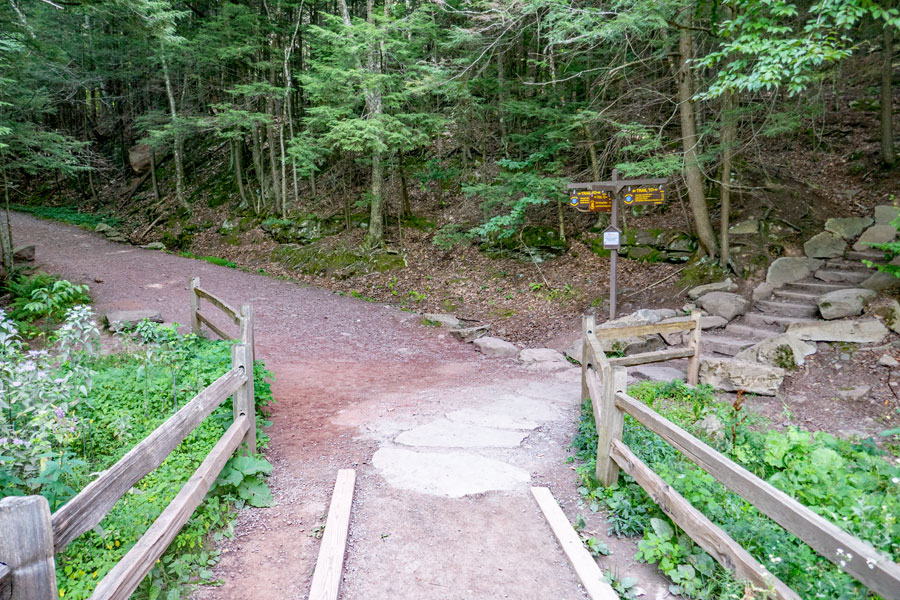 |
About 750 feet later, you will come down the steps in this picture.
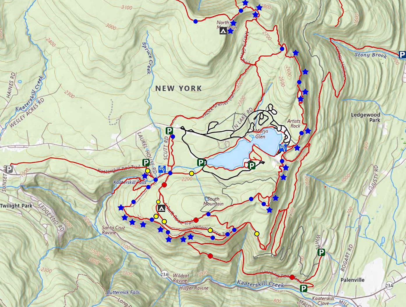
If you parked at the Laurel House Road DEC Parking Area, take a LEFT. About 1/4 mile. Also, if you want to see the Kaaterskill Falls from the viewing platform, take a left, and look for the sign that points you to the viewing platform.
If you parked at Scutt Road DEC Parking Area, you want to take a RIGHT. When you encounter the 4-way Trail Junction, you then want to take a left (Look for the Registration box). Then follow the trail back to your car. Look at the map. About 2/3 mile.
If you parked at the South Lake Parking Area, you want to take a RIGHT. When you reach the paved road in the campground, then take a left back to your car. About 2/3 mile.
|
|
|
LAUREL HOUSE PARKING AREA |
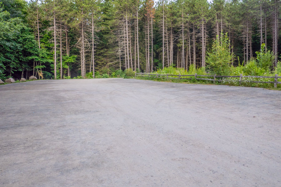 |
This is the LAUREL HOUSE ROAD DEC PARKING AREA.
Take a LEFT and go over the steel bridge - hike up 0.23 miles.
This Parking Area is often FULL. If this Parking Area is full, do NOT park on the side of the road. The Town of Hunter WILL tow your car! Park at one of the other places.
Do not leave trash in the Parking Area or outhouses!
|
|
SCUTT PARKING AREA |
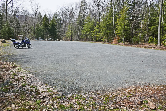 |
This is the SCUTT ROAD DEC PARKING AREA.
The picture shows the upper part of the Scutt Road Parking Area. There is also a lower Scutt Parking Area. There is an outhouse located in the lower lot.
Take a RIGHT and hike up 0.16 miles.
At the 4-way intersection take a LEFT (Registration Box)
Go 0.50 miles (1/2 mile) to Registration Box
Do not leave trash in the Parking Area or outhouses!
|
|
SOUTH LAKE PARKING AREA |
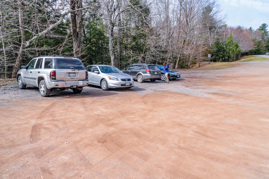 |
This is the SOUTH LAKE PARKING AREA inside the North-South Lake Campgrounds.
Go RIGHT - Go 0.16 miles (800 feet) up the trail.
At the 4-way intersection, go STRAIGHT.
Walk up the cross country ski trail 0.38 miles
After coming to the wooden bar across the path go LEFT onto the road.
Walk on the paved road 0.12 miles (600 feet).
Do not leave trash in the Parking Area or outhouses!
|
|
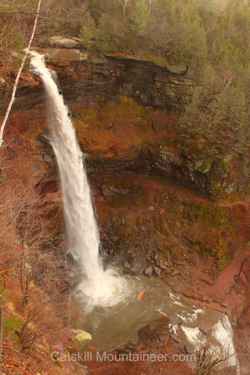 |
Picture taken from the Viewing Platform for Kaaterskill falls. You can see both the upper and lower falls. This photograph was taken in the late Fall season.
|
|
|
S E C T I O N S
|
W E A T H E R
|
O T H E R
|

 Escarpment Trail
 PARKING - North-South Lake (End of Hike)
  : Enter "42.19575,-74.063433" in the Maps Search Box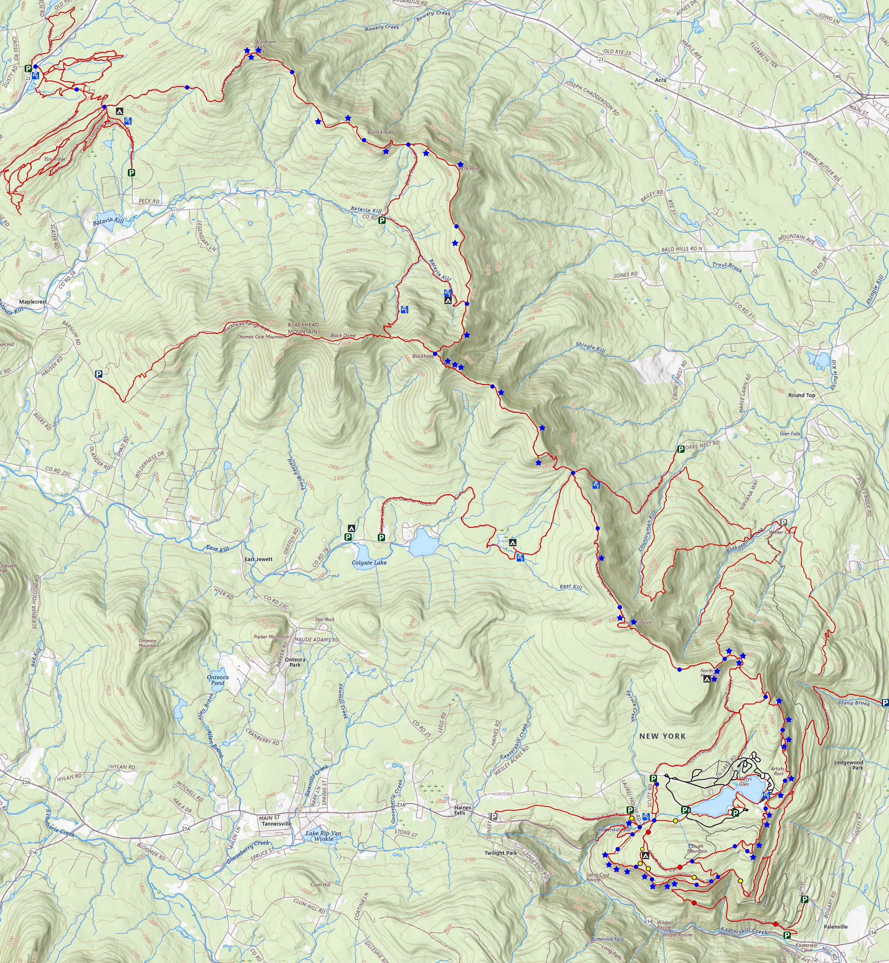

 Long Path
 Harding Road Trail
 Escarpment Trail
 Schutt Road Trail

 Harding Road Spur Trail
  Sleepy Hollow Trail
 Yellow Horse Trail
 Yellow Crossover Trail
 Observation Deck Trail
 Kaaterskill Falls Trail
 Kaaterskill Rail Trail
 Cross-Country Ski Trail