|
Hiking the Little Pond Loop |
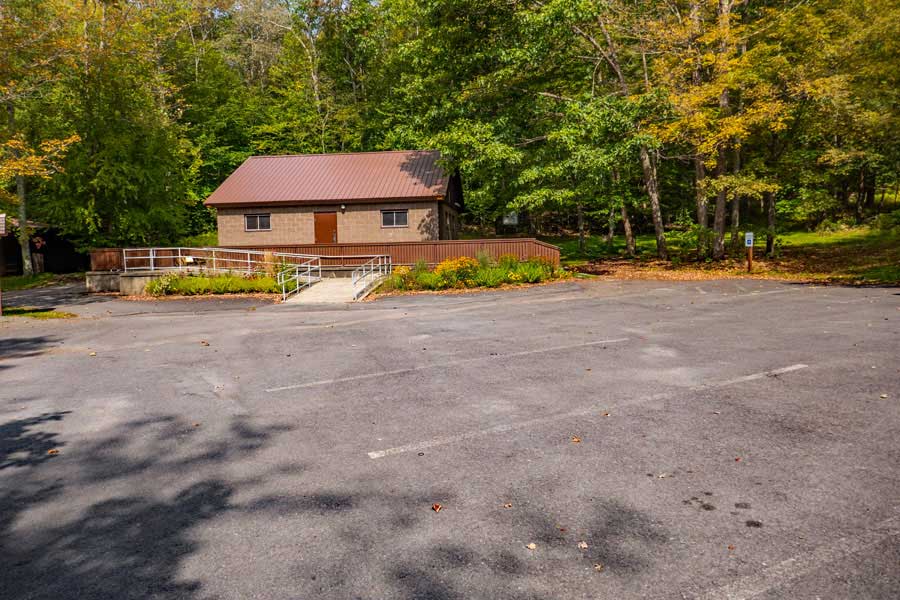 |
This is the Little Pond Campground Parking Area on the Southeast side of the campground. It holds about 40 cars. To get to this parking area, just stay continue straight along the road after stopping at the Ranger Station at the entrance of the Little Pond Campground.
The Trailhead is behind the building, and to the right slightly. If you look carefully, you can see the Kiosk just right of the building. If you walk behind the building, the Trailhead is fairly obvious.
|
|
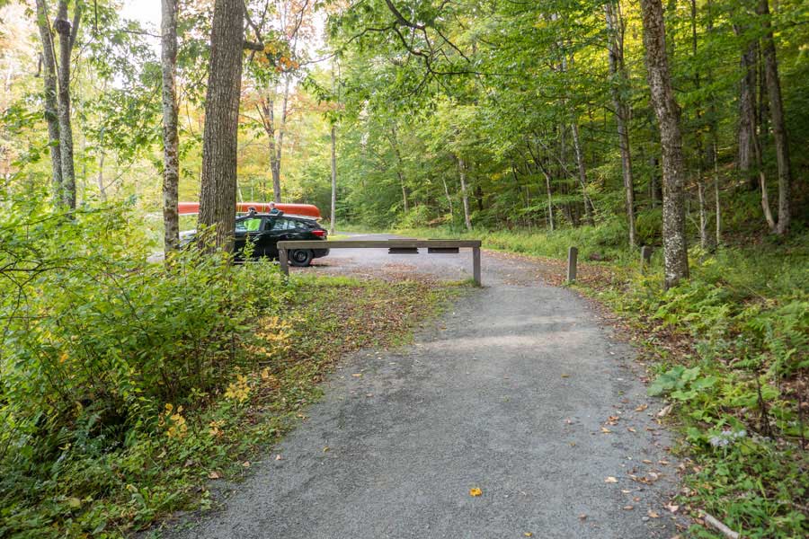 |
The is the Little Pond Campground Parking Area on the Northwest side of the campground. It holds about 5 cars. To get to this parking area, take a LEFT after stopping at the Ranger Station at the entrance of the Little Pond Campground.
To get to the Trailhead, walk past the barrier you see in the picture, towards where the picture was taken. Continue walking north around Little Pond about 750 feet. The Trailhead will be on the LEFT side of this path. This path around Little Pond is called the Little Pond Nature Trail.
|
|
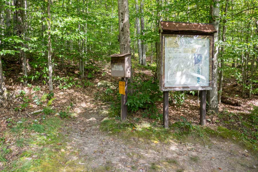 |
This is the Trailhead behind the building on the SOUTHEAST side of Little Pond. Register for your hike, and then head up the trail just left of the Registration Box. It is important to register for your hike. (1) Money to maintain these trails depends upon the number of people hiking on the path; (2) If you go missing or someone is injured it helps NYS Rangers and Search-and-Rescue ("SAR") find and help you. Remember that there is limited cell phone reception on these trails.
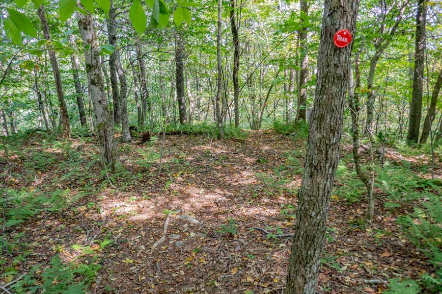
This Trailhead is for the Little Pond Campground Trail. It has BLUE Trail Markers. In most cases, the trail is fairly easy to follow. Keep an eye out for the BLUE Trail Markers. They tell you that you are still on the trail, and where the trail continues.
|
|
 |
 |
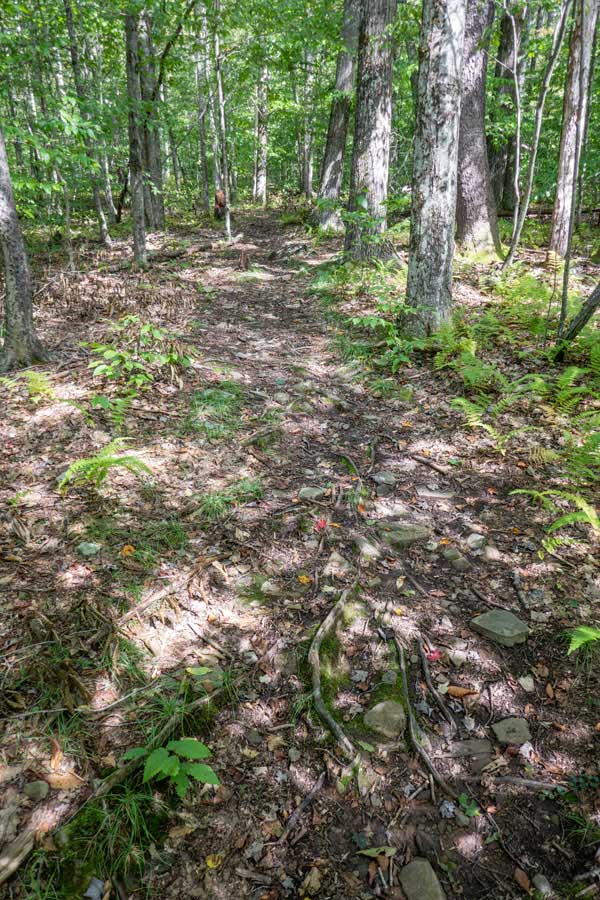
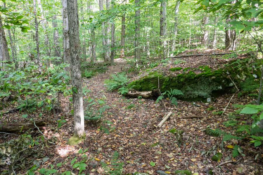
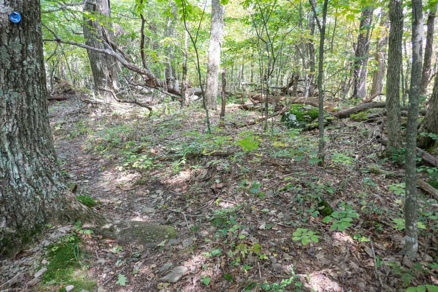
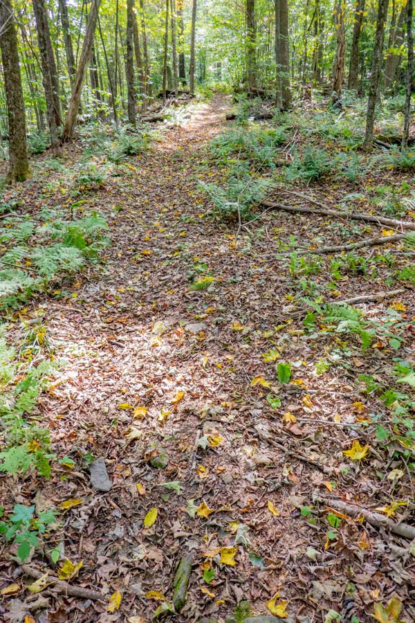
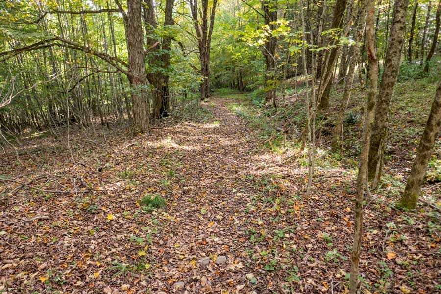
The beginning of the Little Pond Campground Trail is fairly flat and east to follow. |
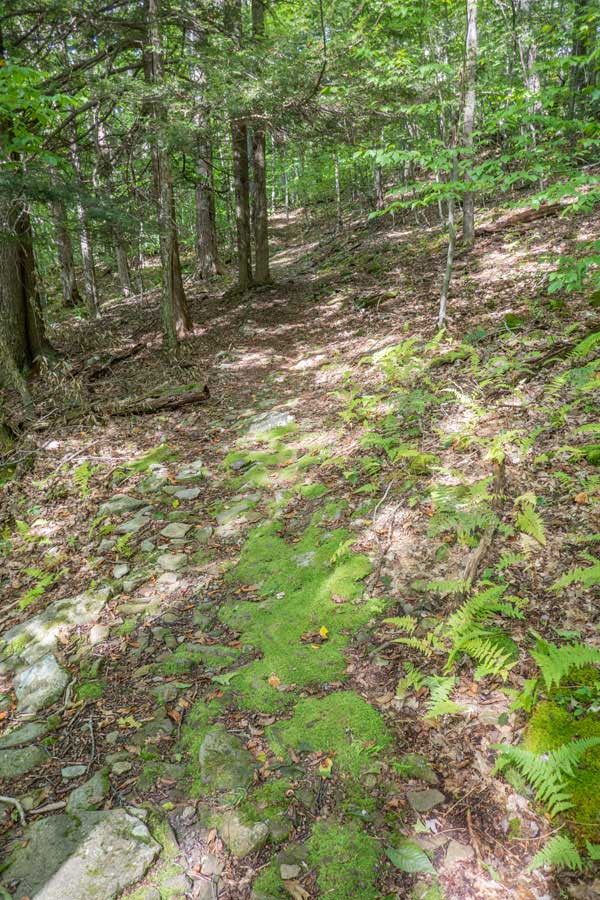
In certain sections there will be an uphill incline as you approach the base of Touch-Me-Not Mountain. |
|
 |
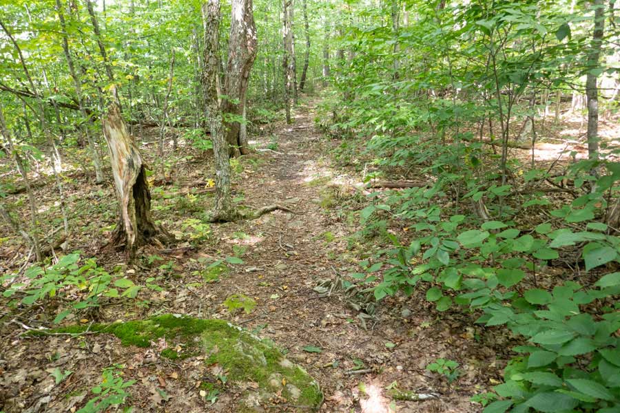
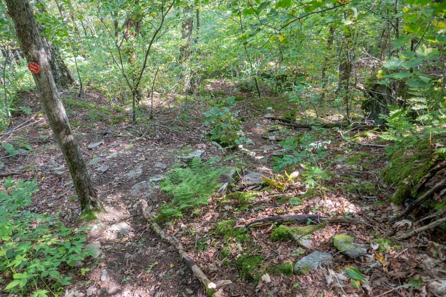
There are some interesting sections to the trail to keep your interest. After this point you should start to approach the base of Touch-Me-Not Mountain.
|
|
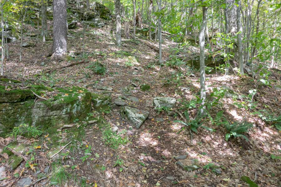 |
Once you reach the base of Touch-Me-Not Mountain, the incline of the trail will become steeper. There will be about 500-600 feet of elevation to the top of Touch-Me-Not Mountain.
|
|
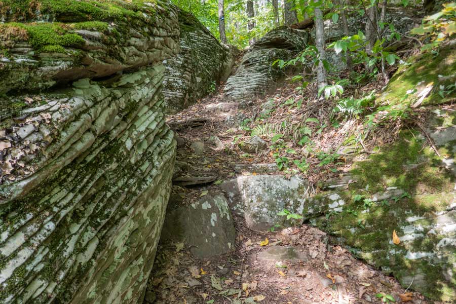 |
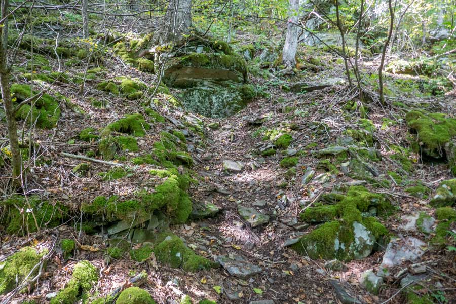
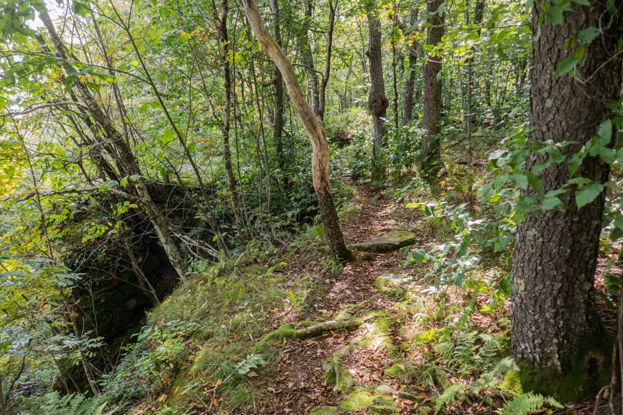
As you approach the summit region, you will climb up this nice rock cut. After this point, you will be approaching the summit of Touch-Me-Not Mountain. You will see the trail incline change to almost a level surface as you hike to the actually summit point.
|
|
 |
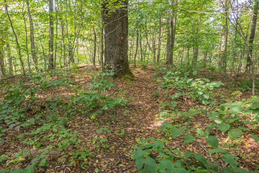
This is the actual summit of the Touch-Me-Not Mountain. The actual summit of Touch-Me-Not Mountain is easy to miss. There are a number of places that are almost the same elevation. The actual summit is very close to the trail. The summit is a little less then 9/10 of a mile from Little Pond.
|
|
 |
After you leave the summit of Touch-Me-Not Mountain, the Little Pond Campground Trail starts to descend in elevation. You will hike for another 3/10 of a mile to reach the Touch-Me-Not Trail.
|
|
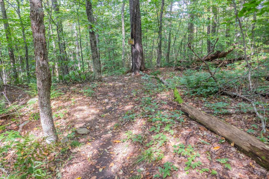 |
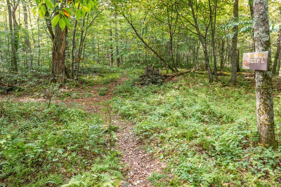
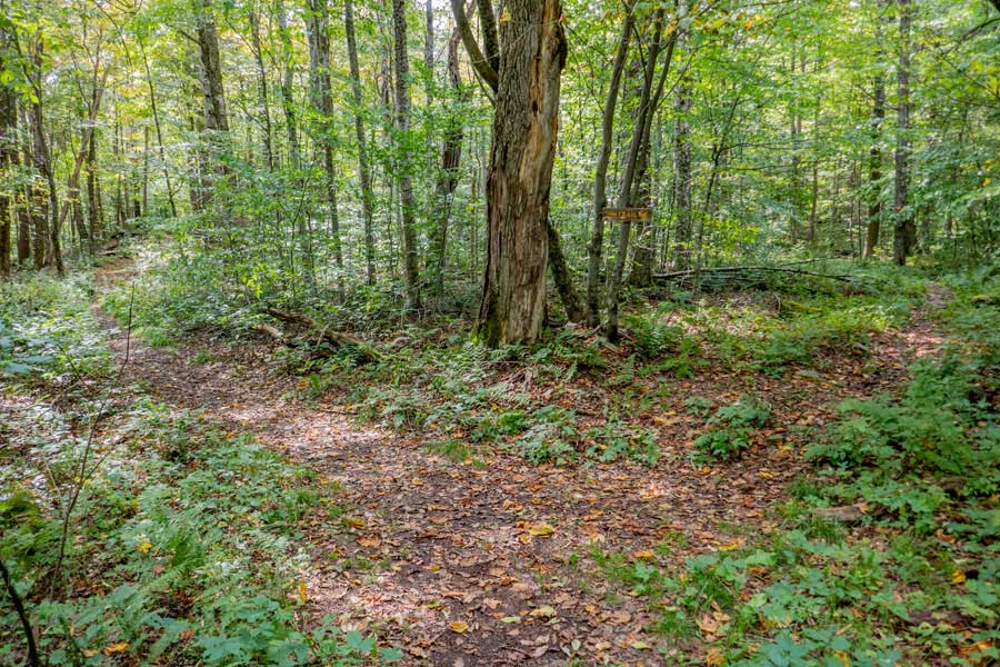
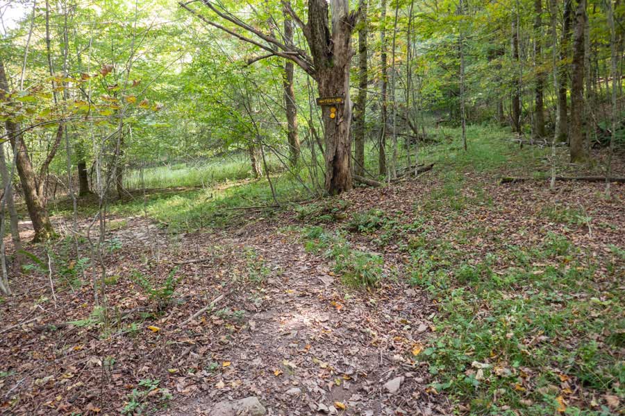
This is the Trail Junction for the Touch-Me-Not Trail, and the end of the Little Pond Campground Trail. You want to take a LEFT to continue on the Loop. Right would take you down to Big Pond.
Look for RED Trail Markers as you continue west on the Touch-Me-Not Trail.
|
|
 |
The trail will descend off the Touch-Me-Not Mountain into the col between Touch-Me-Not Mountain and Cabot Mountain.
|
|
 |
This is the col between Touch-Me-Not Mountain and Cabot Mountain. It is fairly flat. You will also begin to notice some monster sized trees sprinkled throughout the Delaware Wild Forest. They are some of the gems of this forest.
|
|
 |
After about a 1/2 mile from the Little Pond Campground Trail Junction, you will come to the Little Pond Trail Junction. For the purpose of this hike we will continue STRAIGHT to the summit of Cabot Mountain and Beaverkill Lookout. After visiting the Beaverkill Lookout and Cabot Mountain Summit, we will return back to this point. It is a little less then 9/10 of a mile (one-way), and 500 vertical feet of elevation climb, to Beaverkill Lookout and Cabot Mountain summit.
Left will take you back to the Little Pond Campgrounds via the Little Pond Trail. It is about 1-1/4 miles back to the northwest side of Little Pond.
|
|
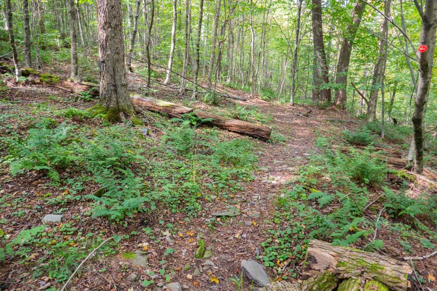 |
The Touch-Me-Not Trail starts out with a small incline and fairly well developed trail
|
|
 |
When you reach the base of Cabot Mountain, the incline will increase. The Touch-Me-Not Trail will zig-zag up the base of Cabot Mountain. So, you need to pay attention to the RED Trail Markers so that you do not hike off the trail.
|
|
 |
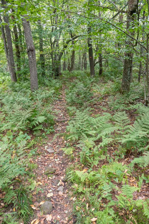
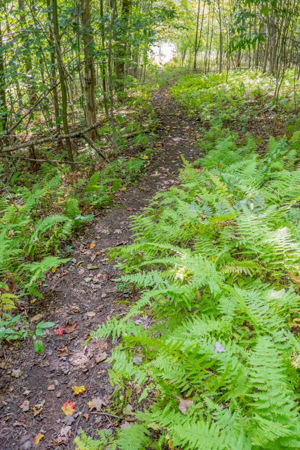
Along the way you will hike through some of the fern glades that the Delaware Wild Forest is well known for.
|
|
 |
Once you reach the Cabot Mountain summit region, the trail will flatten out. In the beginning you will follow the edge of this ledge towards Beaverkill Lookout. The trail is narrow and fairly easy to follow. If you have young children, keep them close to you.
|
|
 |
 |
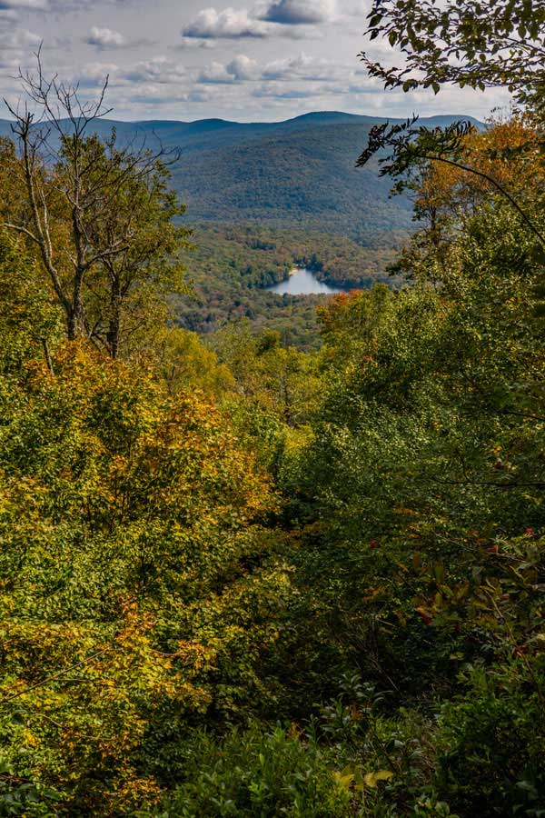
This is the view from the Beaverkill Lookout. It is a little overgrown, but you still get a good view of Little Pond and the Beaverkill Valley. |
After visiting the Beaverkill Lookout, the summit for Cabot Mountain is a short distance away, with very little elevation change. |
|
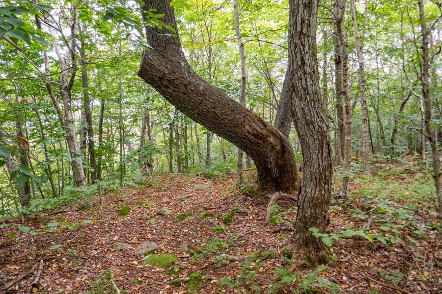 |
This is the summit of Cabot Mountain. Where this unusual large tree grows is the highest spot on Cabot Mountain.
Once you get done here, turn around and return back down to the Trail Junction for the Little Pond Trail (About 8/10 of a mile).
|
|
 |
After you pass the Beaverkill Lookout again, you will come to the edge of the Cabot Summit region. The trail will then start to descend the steep slope.
|
|
 |
The Touch-Me-Not Trail descends down the eastern side of Cabot Mountain to the col at a steady decline.
|
|
 |
After a little more then a 3/4 of a mile down from the summit of Cabot Mountain, you will come back to the Trail Junction for the Little Pond Trail. Take a RIGHT and start down the Little Pond Trail.
|
|
 |
 |
The beginning of the Little Pond Trail has a very mild decline. |
More Fern Glades on the Little Pond Trail |
|
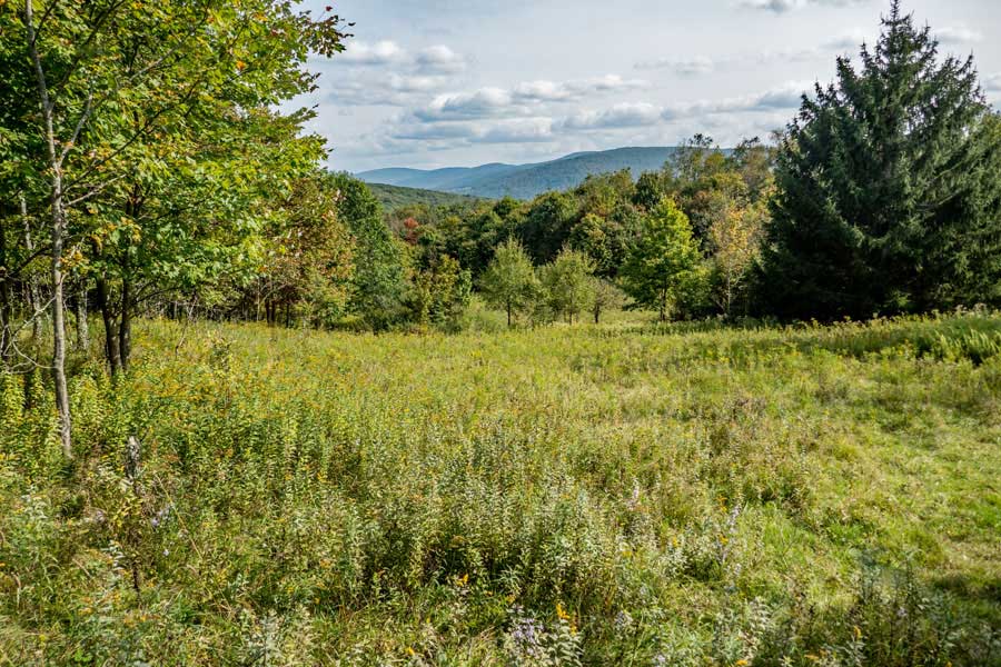 |
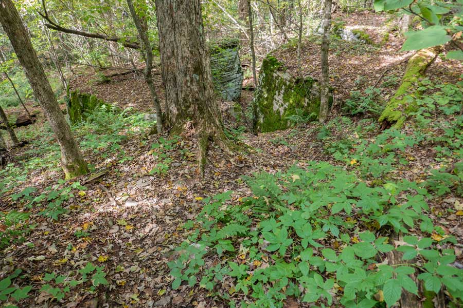
After about a 1/4 mile from the trail junction with the Touch-Me-Not Trail, you will come to a field with a nice view. This view is called the Beaverkill Vista. This is the location where there was an old homestead. If you look on the right side of the trail, you can find the old foundation of the house. Close by is a muddy pond.
|
|
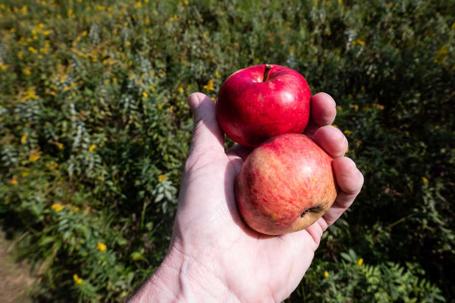 |
There are apple trees in the field. They are ripe in September. The deer get most of the apples close to the ground. The trees are quite old, so the apples do not taste as good as you would get in a grocery store.
|
|
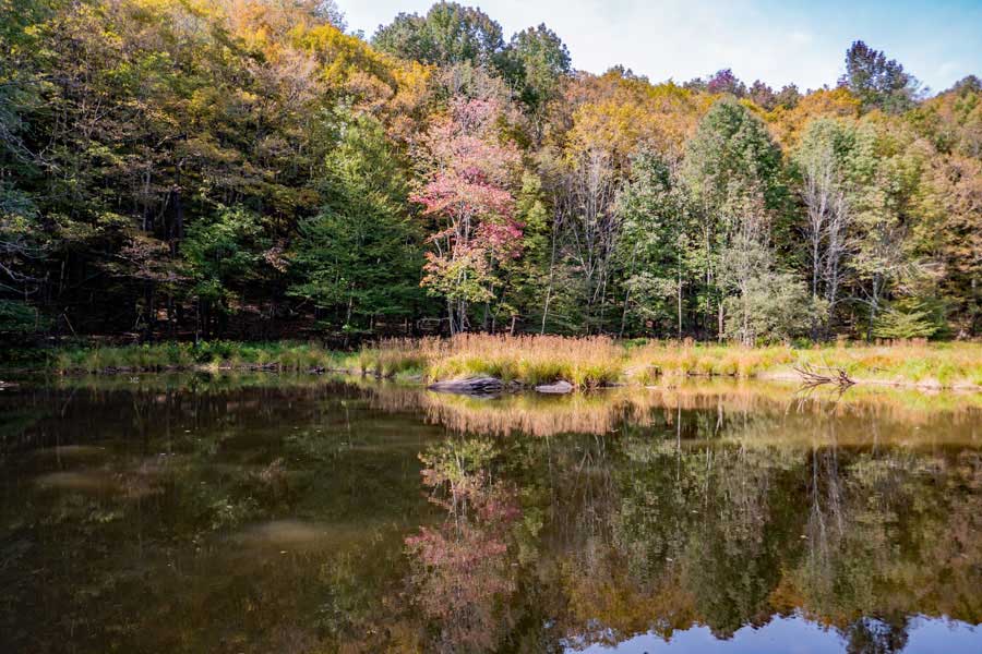 |
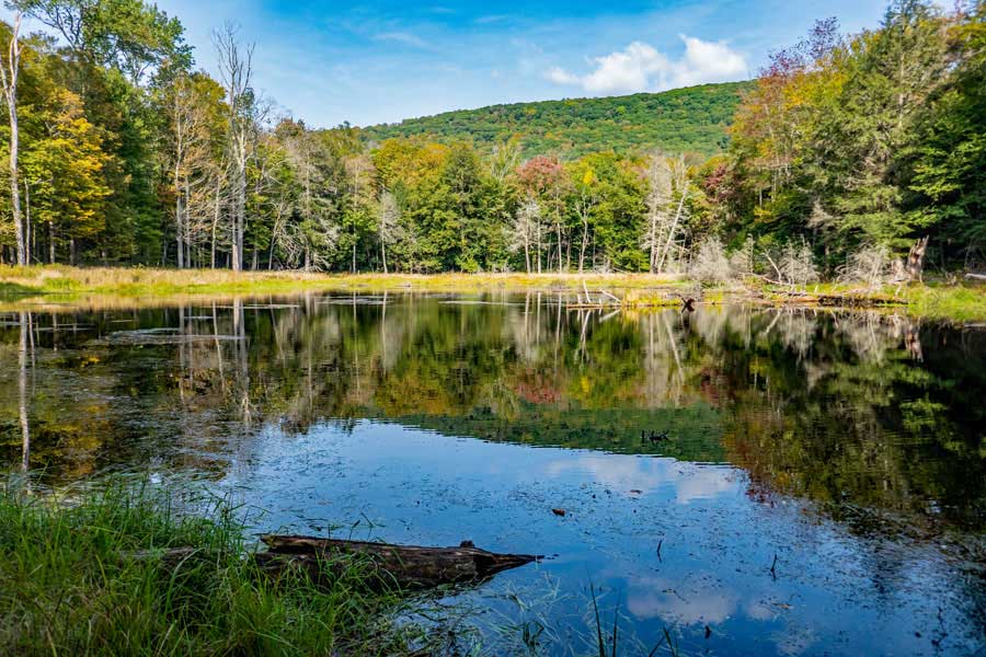
This is the pond that provided water for the old homestead. It is located about 100 feet off the trail.
|
|
 |
Once you leave the field, you will hike down the old Barnhart Road that provided access to the old homestead.
|
|
 |
After about a 1/4 mile, the Little Pond Trail will turn left off the old Barnhart Road onto a spur trail to Little Pond.
NOTE: There is not a legal place to park on Barnhart Road.
|
|
 |
The spur trail will run along a conifer forest for a ways.
|
|
 |
About 4/10 of a mile after leaving the old Barnhart Road, you will encounter a swamp. The swamp is about a 1/4 mile north of Little Pond.
|
|
 |
About a 1/4 mile below the swamp, the Little Pond Trail will come to the southerly Trailhead. The trail around Little Pond is called Little Pond Nature Trail Loop. It is marked with YELLOW Trail Markers. The Nature Trail is just shy of a mile long. From the Southern Trailhead of the Nature Trail is about a 1/2 mile from both directions to the Southeastern Parking Area.
If you parked in the large parking area that is located southeast of Little Pond, take a LEFT. The parking area is about 1/2 mile around Little Pond.
If you parked in the small parking area that is located northeast of Little Pond, take a RIGHT. The parking area is about 750 feet away.
|
|
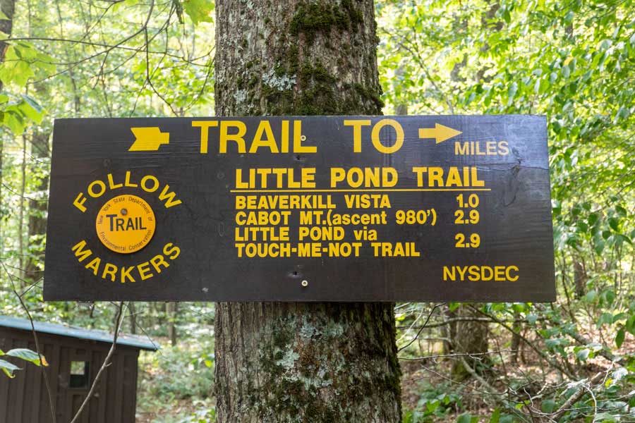 |
This is the DEC sign at the Southern Trailhead of the Little Pond Trail.
|
|
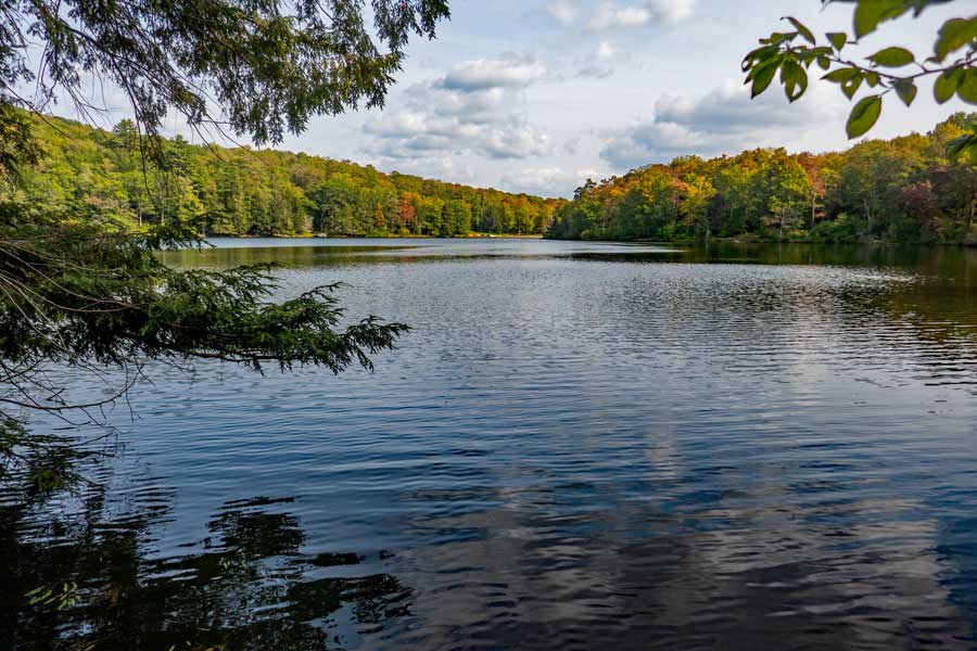 |
This is the view of Little Pond from the northern end of the pond. Little Pond is 13 acres is size.
|
|
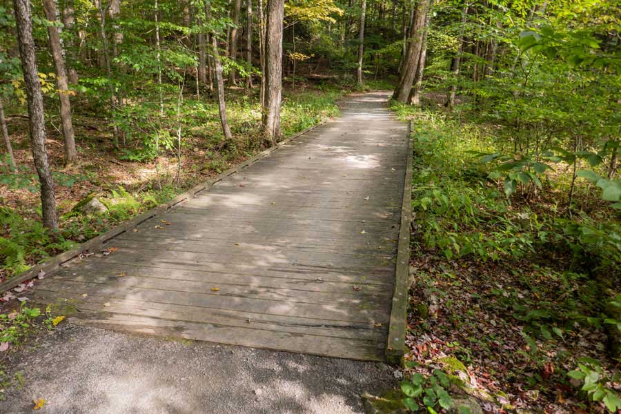 |
If you are parked in the southeastern parking area, you will cross over this wooden bridge, as well as another wooden bridge. As you hike around the Little Pond Nature Trail, you will have a view of the pond for most of the trip.
|
|
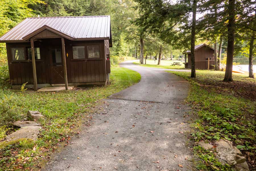 |
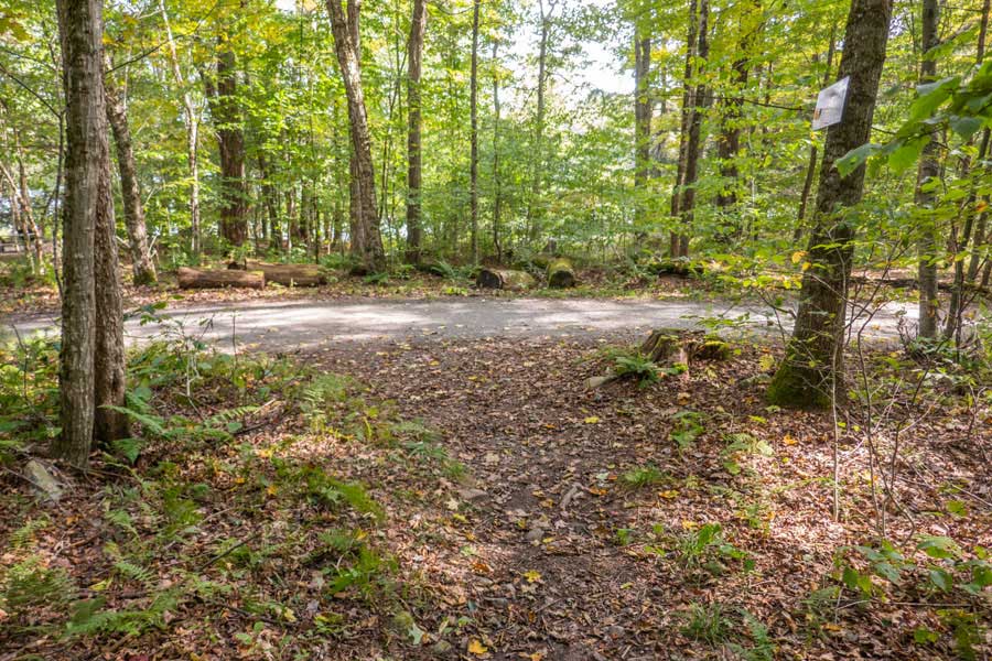
As you approach the southeastern parking area, you will encounter a couple small buildings. On the right you will see the beach for swimming. The Southeastern Parking Area is a short distance beyond these buildings. Hope you enjoyed this hike.
|
|
|
S E C T I O N S
|
W E A T H E R
|
O T H E R
|

