| | DIRECTIONS to the Russell Brook Road Parking from Exit 19 (Kingston) |
| | Russell Brook Road (DEC) - WGS84 (DEC): 41.9943, -74.94155 - Elevation is approximately 1,832' |
| | Russell Brook Road (DEC) - Deg/Min/Sec: N41 59 39, W74 56 29 - Elevation is approximately 1,832' |
| | Russell Brook Road (DEC) - GPS: N 41 59.658, W 74 56.493 - Elevation is approximately 1,832' |
| | Russell Brook Road (DEC) - UTM: 18N 504841 4649145 - Elevation is approximately 1,832'
|
| |
|
| | Get off New York State Thruway at Exit 19 (Kingston). |
| | Take a RIGHT out of the NYS Thruway onto Route 28 West. |
| | Go approximately 46.4 miles on Rt 28 West |
| | Take a LEFT onto Rt 30 |
| | Go approximately 19.9 miles on Rt 30 around the Pepecton Reservoir |
| | Take a LEFT onto Rt 206 (Cat Hollow Road) |
| | Go approximately 2.8 miles on Rt 206 |
| | Take a RIGHT onto Jug Tavern Road |
| | Go approximately 1.5 miles on Rt 206 |
| | Take a LEFT onto Campbell Mountain Road |
| | Go approximately 0.4 miles on Campbell Mountain Road |
| | Take a LEFT onto Morton Hill Road |
| | Go approximately 2.7 miles on Morton Hill road |
| | Take a RIGHT onto Russell Brook Road |
| | Go approximately 1.7 miles on Russell Brook Road |
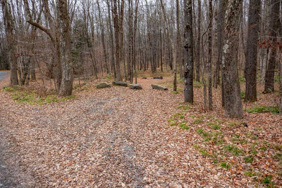
| | Take a RIGHT into Russell Brook Parking Area (directly off road) |
| | NOTE: There two other places to park along side Russell Brook Road |
| | NOTE: In the Winter you can park on the corner of Morton Hill Road & Russell Brook |