Kaaterskill High Peak via Platte Clove (South Access) |
 |
| |
| |
|
OVERVIEW |
| | Distance: | 7.82 miles round trip from Platte Clove to Kaaterskill High Peak.
It is about 8 miles if you add the trip to the Northeastern Ledge. |
| | Notes: | The South Access Route is harder, and 1/4 mile longer then the north access |
| | Time: | Average 5 hours round trip |
| | Elevation Gain: | 1,750’ feet from parking lot to highest point in hike. |
| | Best Time to Hike: | Anytime except the Winter. |
| | Difficulty: | Very Difficult and very dangerous |
| | Catskill Highest: | #22 |
| | Peak Elevation: | 3,655' |
| | | |
| | | USGS Official Names: | High Peak (ID: 952749) |
| | USGS Alternate Names: | Liberty Cap & Round Top |
| | USGS Summit-Elevation: | 3,645' (USGS) |
| | USGS KHP-Summit-WGS84: | 42.162033, -74.080138 (DEC-WGS84) |
| | USGS KHP-Summit-GPS: | N 42 09.722, W 74 04.808 (GPS) |
| | USGS KHP-Summit-UTM: | 18N 575988 4668176 (UTM) |
| | USGS KHP-Summit-Deg, Min, Sec: | N42 09 43, W74 04 48 (Degree, Min, Sec) |
| | |
| | | USGS Official Map: | Kaaterskill Topographical Map (free) |
| | |
| | | DEC Trail Map: | DEC Kaaterskill Wild Forest Map (free) |
| | |
| | | Digital Mapper: |
Topo
Terrain
Satellite |
| | |
| | | Access Methods: | Foot and snowmobile (part way). |
|
|
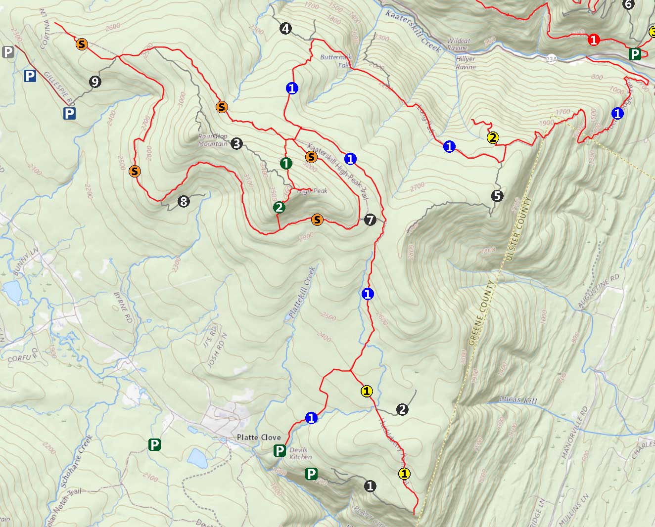
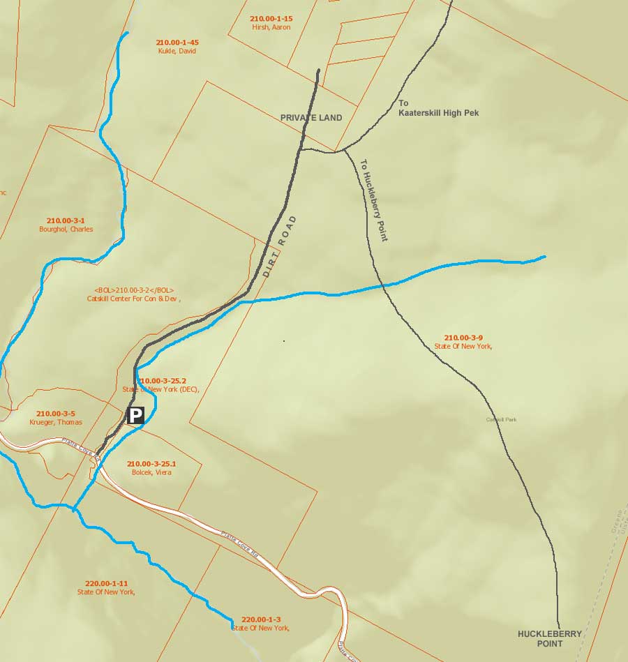
Maps |
 |
|
 |
|
|
|
| | DIRECTIONS TO TRAIL HEAD |
| | DEC Parking Lot WGS84 (DEC): 42.133667, -74.0827 - Elevation is approximately 1,872 feet |
| | DEC Parking Lot Deg/Min/Sec: N42 08 01, W74 04 57 - Elevation is approximately 1,872 feet |
| | DEC Parking Lot GPS: N 42 08.020, W 74 04.962 - Elevation is approximately 1,872 feet |
| | DEC Parking Lot UTM: 18N 575810 4665024 - Elevation is approximately 1,872 feet |
| |
|
| | Take New York State Thruway to Exit 21 (Catskill). |
| | Take a left out of the NYS Thruway entrance road. |
| | Go approximately 1/2 mile |
| | Take a right onto Route 23 West |
| | Go approximately 5 miles on Route 23. |
| | Take a left onto Rt 32 (McDonalds on corner). |
| | Go approximately 7-8 miles on Route 32. |
| | Take right onto Rt 23A. |
| | Go approximately 7-8 miles on Rt 23A . |
| | When you come into Tannersville, take LEFT at the red light onto RailRoad Ave (Rt 16), which will turn into Spruce Street, which will turn into Platt Clove Road. Follow this road approximately 7-8 miles |
| | The DEC parking lot is on the LEFT side of the road. |
| | It is approximately 1/2 mile past Josh Road (on left side of the road). |
| | If you start to go down the hill to the valley, then you have gone too far. The downhill section of the road is closed in the winter. |
| | Do NOT block the gate entrance - there is a house at the end of this road. |
| | Do NOT drive up the dirt entrance road to the trail head - this is PRIVATE property - AND there is NO place to park or turn around once you get to the trail head. |
|
|
NOTES ABOUT THIS HIKE |
| | The DEC has renamed the Snowmobile Trail to the Kaaterskill High Peak Trail. On this page we will just call it, "Kaaterskill Trail". Snowmobilers are still allowed to use part of the Long Path along with the Kaaterskill Trail. In 2024, some parts of the Kaaterskill Trail were overgrown.
The road entrance to the DEC Upper Platte Clove Parking Area is actually called the Steenburg Road. Years ago, it was a public road. Today, parts of it are public, and the ending is on private property. This hike only goes over the public part. You cannot drive on the Steenburg Road beyond the DEC Upper Platte Clove Parking Area.
The trail going from the Kaaterskill Trail up to the summit of Kaaterskill High Peak is not an official Trail. The trail has existed for over 100 years. It is believed to have been built by members of Twilight Park. As you approach the top, there is one difficult section that requires some rock climbing.
The Southern Route also requires that you bushwhack from the Long Path to the Kaaterskill Trail. This requires your ability of route finding. The distance is fairly short, and most hikers turn 90 degrees and walk straight until they reach the Kaaterskill Trail. If you feel uncomfortable bushwhacking, you can also use a GPS or Avenza to assist you in this crossing. Or, go with someone that has done this route before or is experienced in bushwhacking.
Most hikers would recommend that you do this on a sunny day where there is no ice or snow. You should also have a partner in case you are injured. This route is not done often.
Some hikers like to climb up the Southern Route, and then descend down the Northern Route. If you plan on doing this, you should review a map before your hike, and take a map with you.
|
|
|
MILEAGE CHART |
| |
Mile Point |
Mileage |
Altitude |
Notes |
| | 0.00 | 0.00 | 1,872’ |
DEC Upper Platte Clove Parking Lot. N42 08.020 W74 04.962 |
| | 0.87 | 0.87 | 2,366’ |
Road & Trail Junction - On Right side of road - easy to miss this junction - N42 08.553 W74 04.467. |
| | 0.13 | 1.00 | 2,412' |
Trail Junction - Left goes to Kaaterskill High Peak - Right goes to Huckleberry Point - N42 08.544 W74 04.325 |
| | 1.31 | 2.31 | 2,977' |
Leave Long Path and bushwhack about 500 feet until you hit the Kaaterskill Trail (formally the Kaaterskill Snowmobile Trail). It will save you about 2 miles. As soon as you stop climbing in elevation on the Long Path, start looking for a faint trail on the left (N42 09.502 W74 04.006). Once you hit the Kaaterskill Trail, go LEFT. Shortly after hiking on the Kaaterskill Trail, you will come to a plane crash. |
| | 1.03 | 3.34 | 3,040’ |
Trail Junction - Take a Right up the steep south ascent to Hurricane Ledge on KHP. Look for a very large rock cairn by the entrance. |
| | 0.24 | 3.66 | 3,460’ |
Arrive at the Hurricane Ledge. |
| | 0.25 | 3.91 | 3,655’ |
Kaaterskill High Peak summit. |
| | 3.91 | 7.82 | 1,872’ |
Return back to the DEC Upper Platte Clove Parking Lot from Kaaterskill High Peak. |
|
|
Hike to Kaaterskill High Peak From Platte Clove (South Access) |
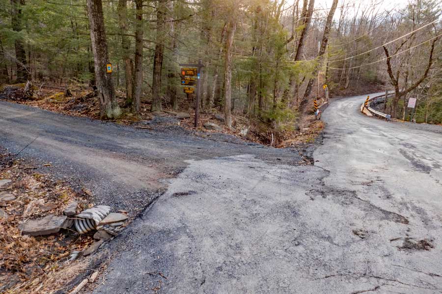 |
The image above is the entrance to the Upper Platte Clove DEC Parking Lot. This is also the old Steenburg Road. Presently, you can only travel by motorized vehicle up to the DEC Parking Area. You are NOT allowed to drive past the gates!
The Upper Platte Clove Parking Area does fill up fast during the summer months and on some weekends. Make sure you park so that other cars will have a placed to park.
Do NOT park on the side of Platte Clove Road (Rt 16). Your car WILL be towed by the Town of Hunter!
Across the street are two parking spaces for access to Hell's Hole. If you drive past Steenburg Road on Platte Clove Road, there is another parking area around the corner called the Bridal Veil Lookout Parking area, which is now CLOSED to public parking. Further down Platte Clove Road (Rt 16) is Middle Platte Clove Parking Area for the unofficial Huckleberry Quarry Trail (2 parking spaces). Near the bottom of the clove is the Lower Platte Clove Parking Area (1 space) for access to Platte Clove.
|
|
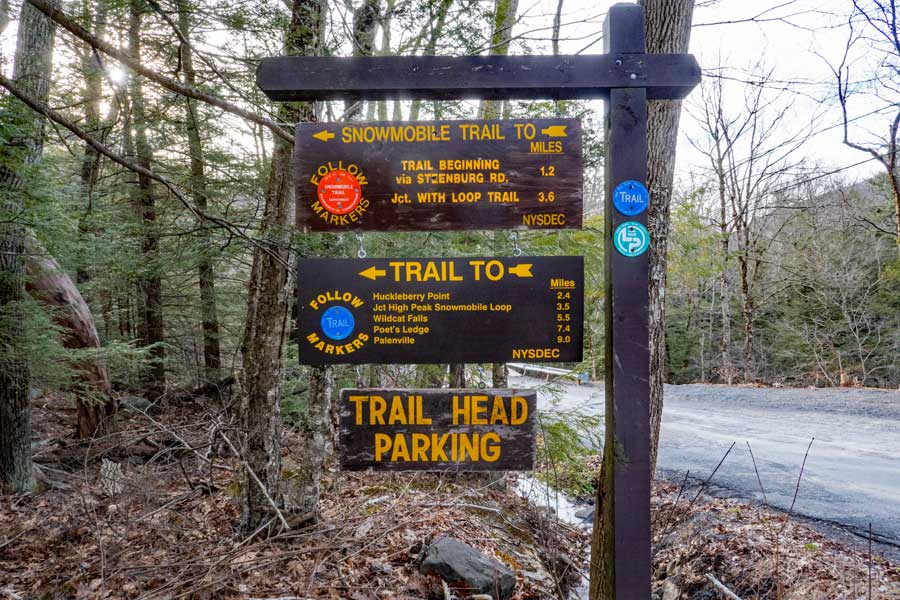 |
This is the sign for the DEC Upper Platte Clove Parking Area on Rt 16 in Platte Clove.
|
|
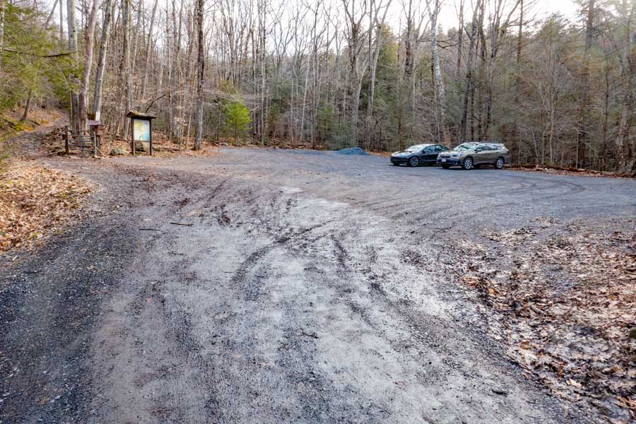 |
After a short drive up Steenburg Road, you will come to the Upper Platte Clove Parking Area. Make sure you park so that other cars will have a placed to park. |
|
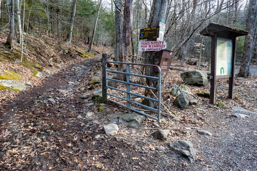 |
This is the Trailhead for Kaaterskill High Peak and Huckleberry Point. You cannot drive past this gate. Only the landowner and emergency vehicles can drive past the gate. Further up Steenburg Road, the land will cross over into private land.
If a vehicle comes up or down Steenburg Road, please move over so that they can get past.
Make sure that you register for your groups hike here. Registering allows more money for trail maintenance, enlarging the parking area, and allocation of funds for this area. Furthermore, if you get lost, the Rangers will use this information to find you. |
|
 |
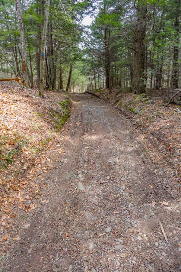 |
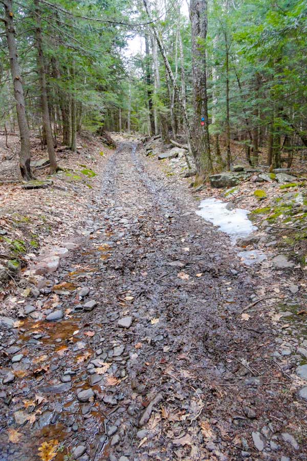
The picture on the LEFT show a picture of the trail (Steenburg Road) after the Trail Head. The beginning of the trail is the steepest part of the road. |
As you get further up, the incline of Steenburg Road becomes more level, and easier hiking. |
|
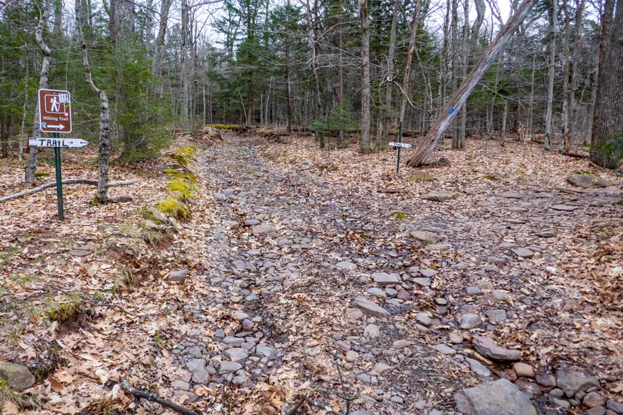 |
After a little less then 9/10 of a mile, you will leave Steenburg Road. Take a RIGHT at this point and follow the trail another 1/10 of a mile until you reach the trail junction for Huckleberry Point. |
|
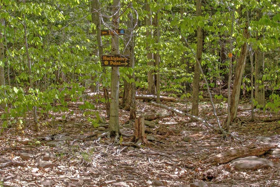 |
After a little more then 1/10 of a mile, you will come to a trail junction. You want to go LEFT towards Kaaterskill High Peak (Blue Trail Markers). Right will take you to Huckleberry Point (RED Trail Markers). |
|
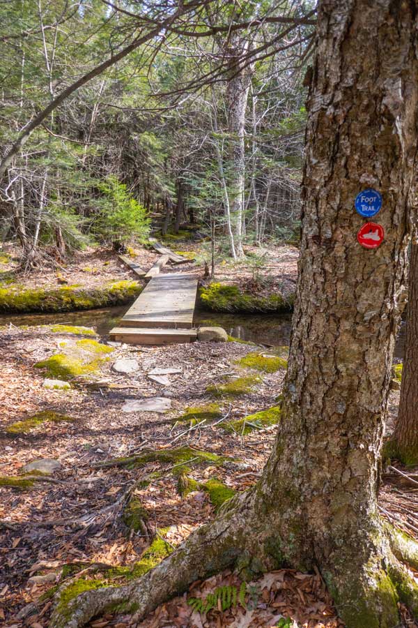 |
 |
The picture on the LEFT show a picture of a small bridge over a water crossing. It is not that far from the trail junction for Huckleberry Point. |
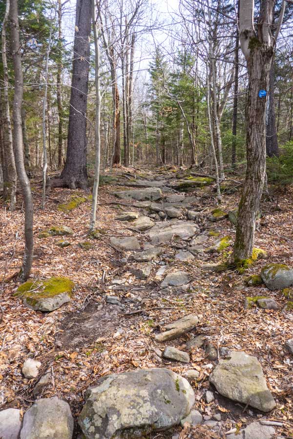
Soon after crossing the small bridge you will start to climb up the base of Kaaterskill High Peak. The trail will start to increase in elevation, along with the trail becoming rocky. It will remain that way until you reach the top of the Kaaterskill Amphitheater. |
|
 |
 |
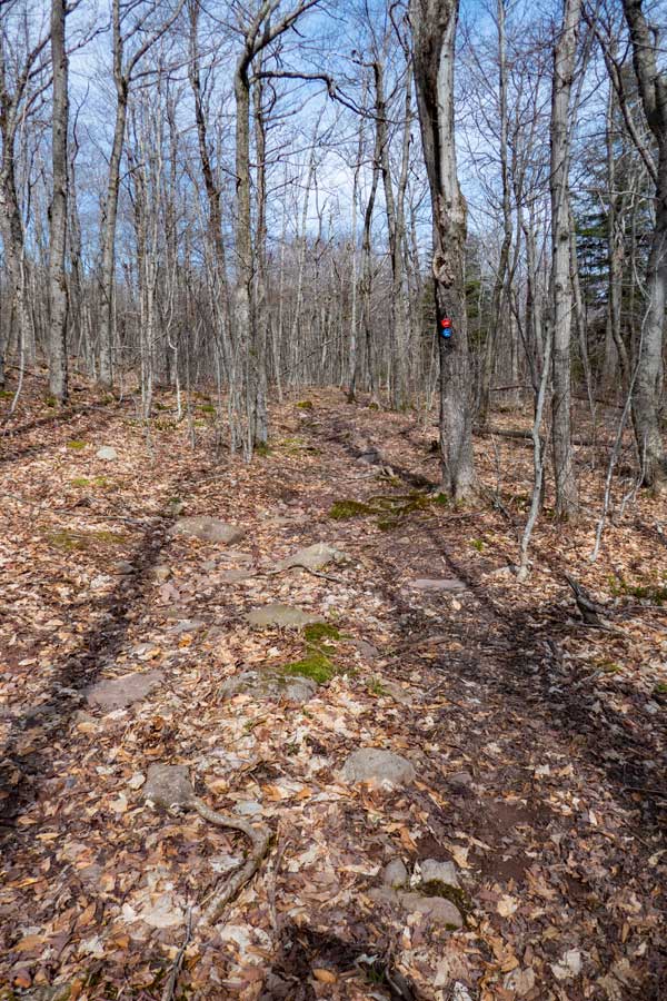
As you approach the top of the Kaaterskill Amphitheater, the trail incline will start to level off. On your left you will see Hell's Hole Creek ravine. After the ravine disappears you will near the top of the Kaaterskill Amphitheater. |
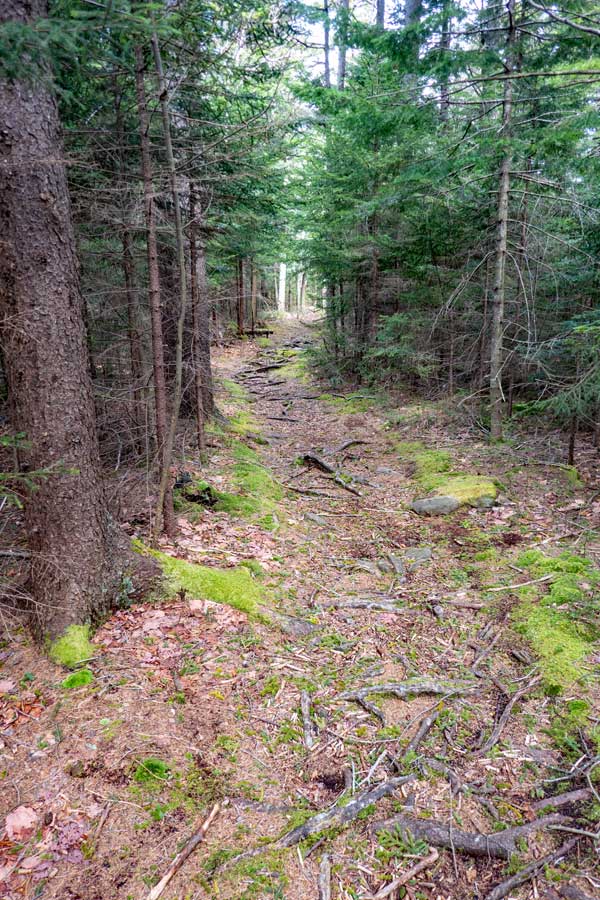
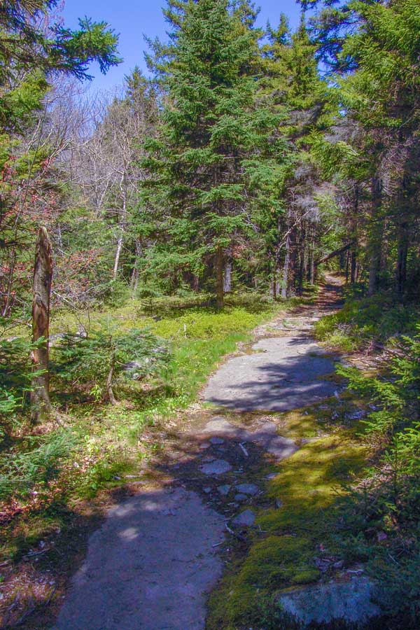
Not long after you reach the top of the Kaaterskill Amphitheater, the trail will change to a conifer forest. In the beginning you will walk through a beautiful section of the trail. But, that will end shortly. |
|
 |
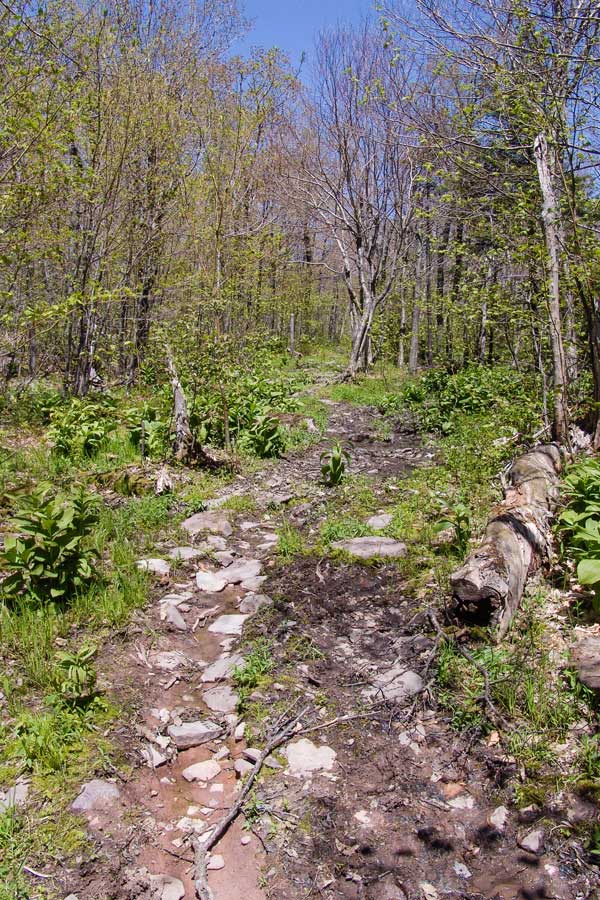 |
Once the trail starts to level off, start looking for a faint trail on the left side of the trail. If you cannot find it, then you will need to bushwhack over to the Kaaterskill Trail. If you are uncomfortable with bushwhacking over to the Kaaterskill Trail, you can continue forwards, and then take the Kaaterskill Trail back (see map). |
After about 500 feet of bushwhacking, you will reach the Kaaterskill Trail (formally Kaaterskill Snowmobile Tail). Once you reach it, take a LEFT towards the south side of the Kaaterskill Trail. The Southern side of the Kaaterskill Trail has a reputation for being very muddy. Even during the driest summers. The southeastern side is less muddy then the southwestern side. |
|
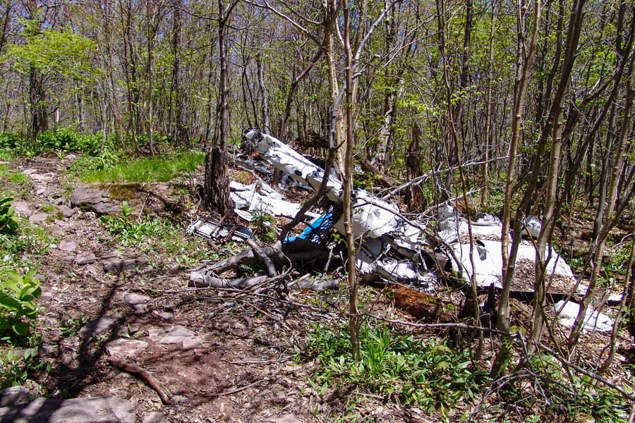 |
Shortly after you start walking down the snowmobile loop trail, you will come upon the first plane wreak on Kaaterskill High Peak. This plane crash occurred on June 25, 1987. It was a cargo plane. Like many of the plane crashes in the Catskills, the pilot was flying VFR. In this case it was on a dark cloudy night. Two passengers were on board were killed in the crash. GPS N42 9.512 W74 4.255. PLEASE DO NOT REMOVE ANYTHING FROM THE WREAK.
To read the Aviation Report on the crash Click Here |
|
 |
 |
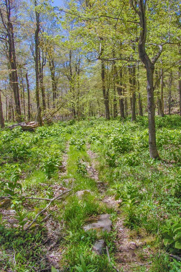
Not only is the snowmobile trail muddy, but it has a lot of vegetation as you can see in the picture on the above. |
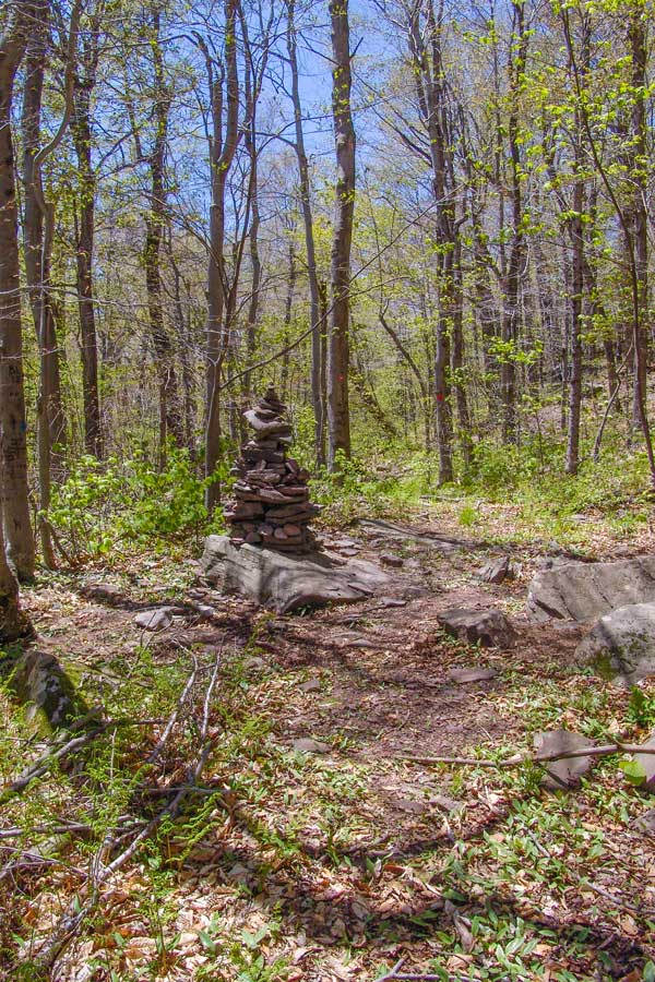
The trail junction for the South Access to Kaaterskill High Peak is marked with a very large Cairn. Take a RIGHT. |
|
 |
 |
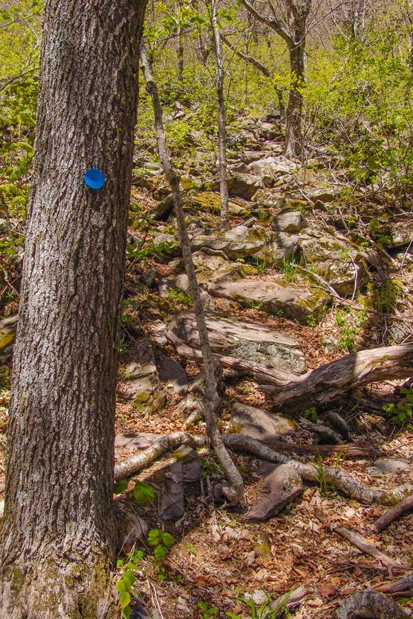
This is what the beginning of the South Access Trail looks like. It is a non-DEC trail that has existed for over a hundred years. The further up the trail you go, the more dangerous it becomes. It continued to get steeper-and-steeper. |
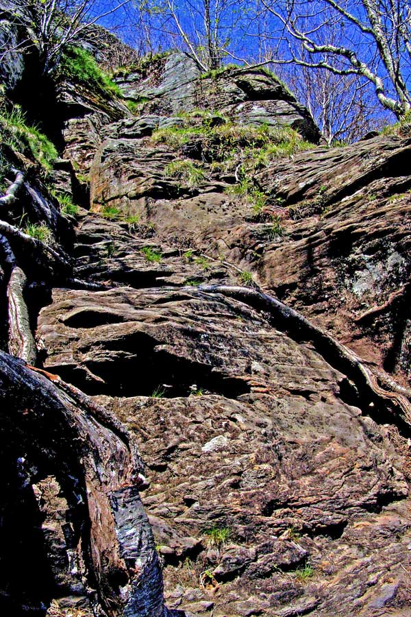
The picture on the above shows what the trail looks like just below Hurricane Ledge. It is very steep and dangerous. If you fall here, you will be injured and possibly killed. You need to hang onto the roots to climb up. It is NOT recommended for children or animals. You should be an experienced hiker to climb this route. We also recommend that you climb here with a partner. |
|
HURRICANE LEDGE |
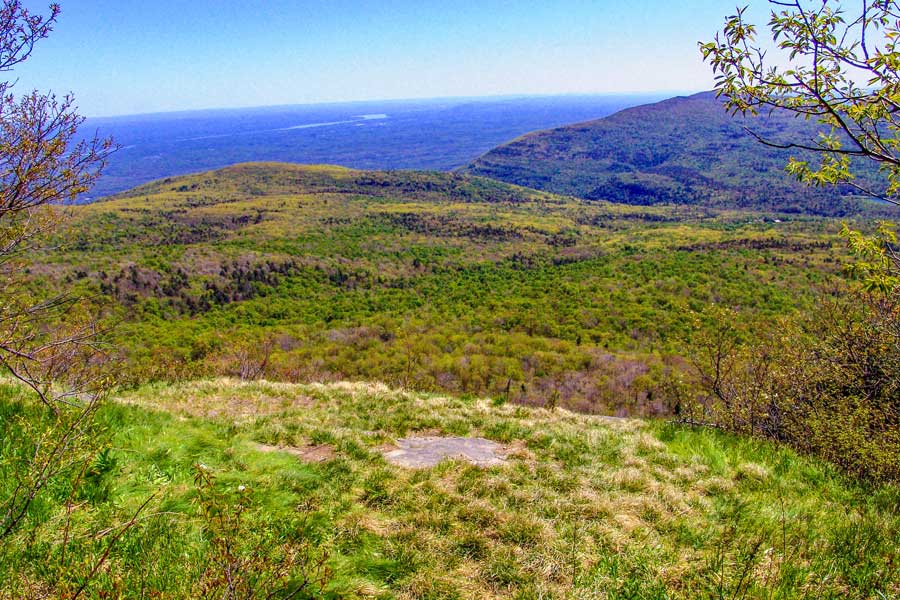 |
After you rock climb up to the top, you will be on the LOWER portion of Hurricane Ledge. In this image, you are looking to the southeast from the lower portion of Hurricane Ledge.
|
|
 |
This is the view to the west, showing Round Top Mountain.
Continue hiking up the path to the summit of Kaaterskill High Peak, which is about 1/4 mile away. |
|
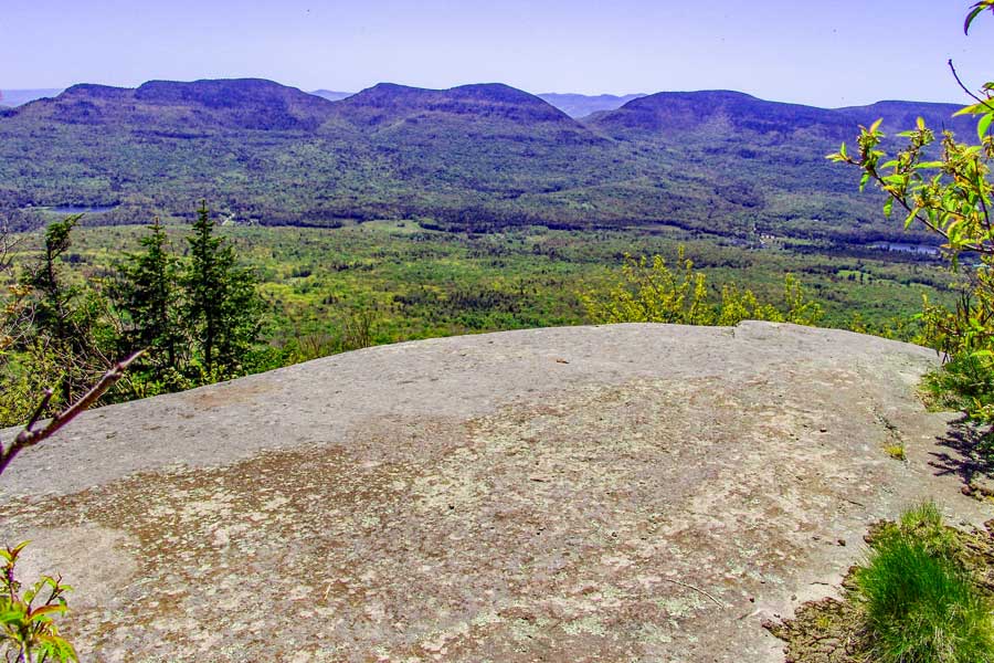 |
This is the upper portion of Hurricane Ledge looking to the south. The mountains in the distance is the Indian Head Wilderness. From this point, you can see Overlook Mtn, Plattekill Mtn, Indian Head Mtn, Twin Mtn, Sugarloaf Mtn, and Plateau Mtn. |
|
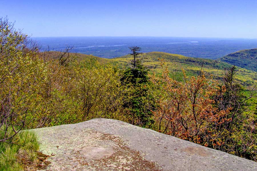 |
This is the upper portion of Hurricane Ledge looking to the east.
There are several places on Hurricane Ledge that will provide you with good views. This ledge was caused by a storm on or about November 28, 1950, which had winds in excess of 100 mph. Ironically, there was another Hurricane Ledge created on the northeastern side of the peak at the beginning of the 1900's. It may have been created by one of the storms on November 8-10, 1913 or October 22-25, 1923. |
|
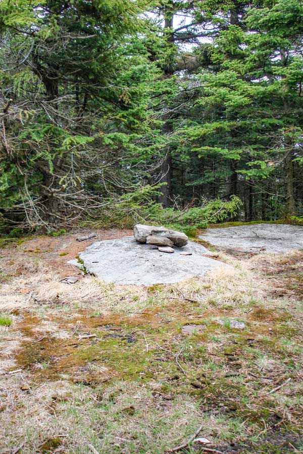 |
This is the summit of Kaaterskill High Peak Mountain. There are no longer any views from the very top. The good views can be seen on Hurricane Ledge and the Northeastern Ledge.
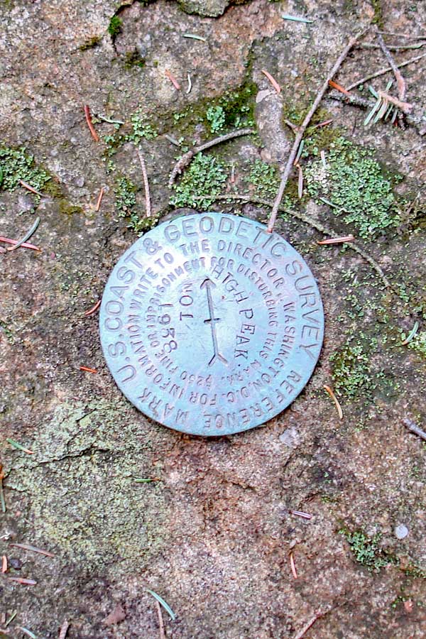
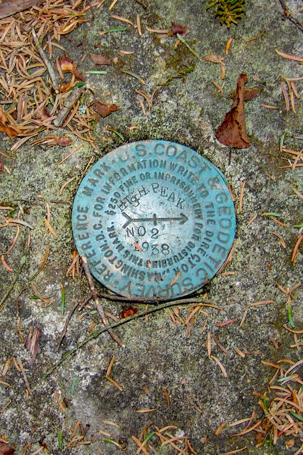
There are two USGS markers about 30 feet from the summit. The trail that goes east will take you to the second plane crash. USGS marker #2 is near the trail to the Northeastern Ledge. The trail that goes south will take you to USGS marker #1, and Hurricane Ledge.
If you look around, you can see that there was a building at the summit. The building was a 2-story building that was built in the late 1800's. It was taken down around 1921 when New York State purchased the Kaaterskill Mountain Range. About an acre of land was cleared for the building.
While the Mohawk Indians used Kaaterskill High Peak for thousands of years, the first European to ascend Kaaterskill High Peak was Peter DeLabigarre along with a friend on July 26, 1793. Peter DeLabigarre also was the first to summit Overlook Mountain on July 9, 1793. He climbed Overlook Mtn thinking he was climbing Kaaterskill High Peak. He also named Kaaterskill High Peak, "Liberty Cap". The names of Kaaterskill High Peak and Round Top Mtn were mixed up fairly often. After his death, the name fell out of favor, and people resorted to calling it High Peak because they believed that it was the highest peak in the Catskill Mountains. Today, High Peak is still the official name of Kaaterskill High Peak. Almost all hikers today call it Kaaterskill High Peak, so that it is not mixed up with Windham High Peak. Alf Evers dedicated an entire chapter (Liberty Cap - Chapter 37) of his book, The Catskills, to Peter DeLabigarre. Up to the 1870's KHP was believed to be the highest peak in the Catskills. Princeton geography professor Arnold Henry Guyot brought equipment up to the Catskills and started to measure all the higher peaks. He determined that KHP was actually the 23rd highest. His finding upset the hotels in the Kaaterskill Clove who used this claim to attract visitors. |
|
 |
 |
The picture on the above is USGS marker #1. It is about 30 feet south of the peak on the path to Hurricane Ledge. |
The picture on the above is USGS marker #2. It is about 30 feet east (and slightly south) of the peak. It is located on top of a dome shaped rock. When you approach the peak from the north access route, take a left. Then take a right. The marker is about 10-15 feet inside the trees. |
If you take a right, you can also go down to the Northeastern Ledge. There is also a plane crash just before the ledge. It is about an additional 1/5 of a mile round trip. |
|
NORTHEAST LEDGE & PLANE CRASH |
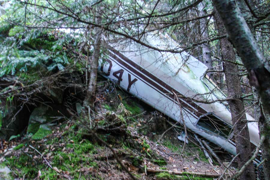 |
After about 490 feet, you will come to a flat section that is about 30 feet long. This section is just after a small steep descent. The plane crash is about 100 feet from the trail. Once you return from the plane crash, you can walk a further down the trail to a beautiful view on the Northeastern Ledge. The Northeastern Ledge is about 100 feet past the turn off for the plane crash.
This plane crash occurred on Tuesday, June 13, 1967, and resulted in two fatalities. The impact was so severe that the crankshaft of the plane landed about 450 feet from the crash location. The Crankshaft has been sitting near summit for decades. Back in the Winter of 2009/2010 someone attempted to steal the crankshaft, and later abandon the crankshaft near the lower ledge of Hurricane Ledge. Two hikers from Catskill Mountaineer recovered the crankshaft and restored it to it's original location. PLEASE do not remove or move any of the wreckage. This often upsets the family of the victims. This is a sacred grave site.
To read the Aviation Report on the crash Click Here |
|
 |
This picture shows the debris field from the plane crash. The plane crashed head-on into the ledge. This plane crash occurred on June 13, 1967. The plane is a Piper PA-23 with registration N5604Y. The two occupants were killed instantly. The plane slammed into the ledge with such force that it was able to rip the crankshaft out of the engine and it flew approximately 450 feet and landed near the summit of KHP. The pilot was flying in bad weather with VFR. |
|
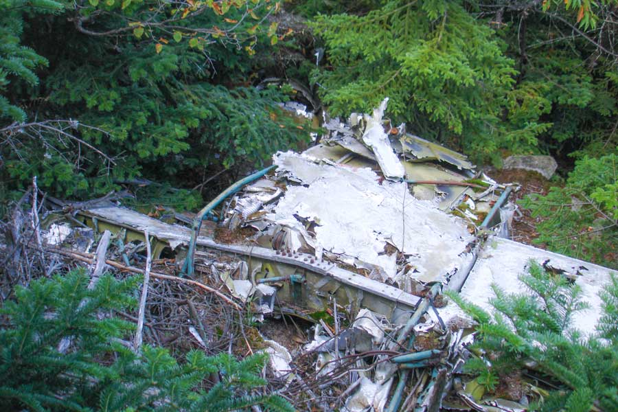 |
This picture shows the plane crash from the top of the ledge. PLEASE do not remove or move any of the wreakage. This often upsets the family of the victims. This is a sacred grave site. |
|
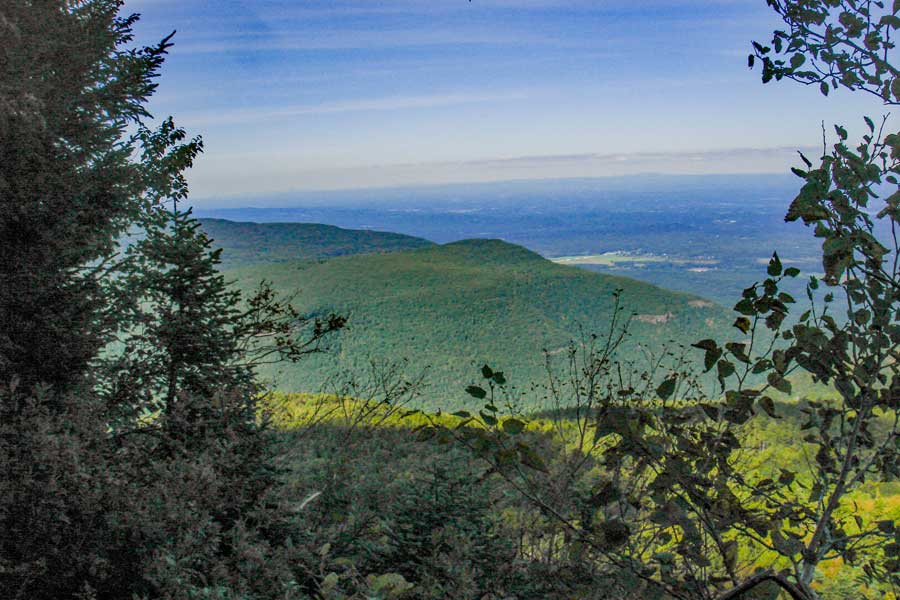 |
After you get done visiting the Plane Crash, continue down the trail. After about 100 feet you will come to the end of the trail. At the end of the trail is the Northeastern Ledge. Please be careful! It is easy to fall off this ledge. If you do fall, you will most likely be killed. This image is of the Northeast direction. It shows North-South Lake campground region and South Mountain. In the far distance you can see Albany, NY. |
|
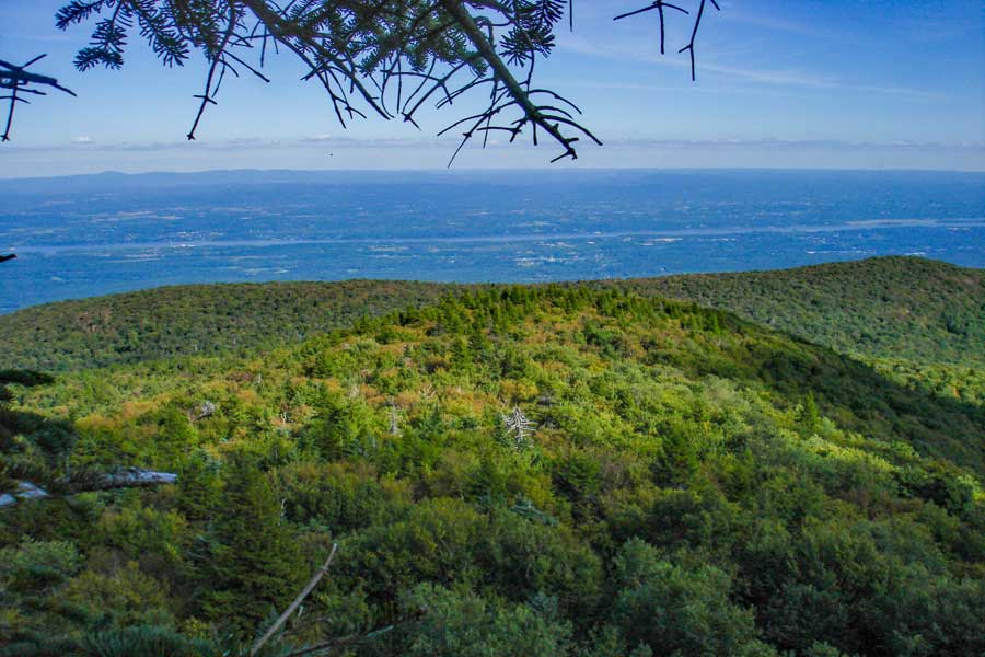 |
This image is of the Eastern direction. It shows the top rim of the Kaaterskill Amphitheater and the Hudson River.The Taconic Mountain Range is in the distance. From this ledge you can see New York, Vermont, New Hampshire, Maine, Massachusetts, and New Jersey. |
|
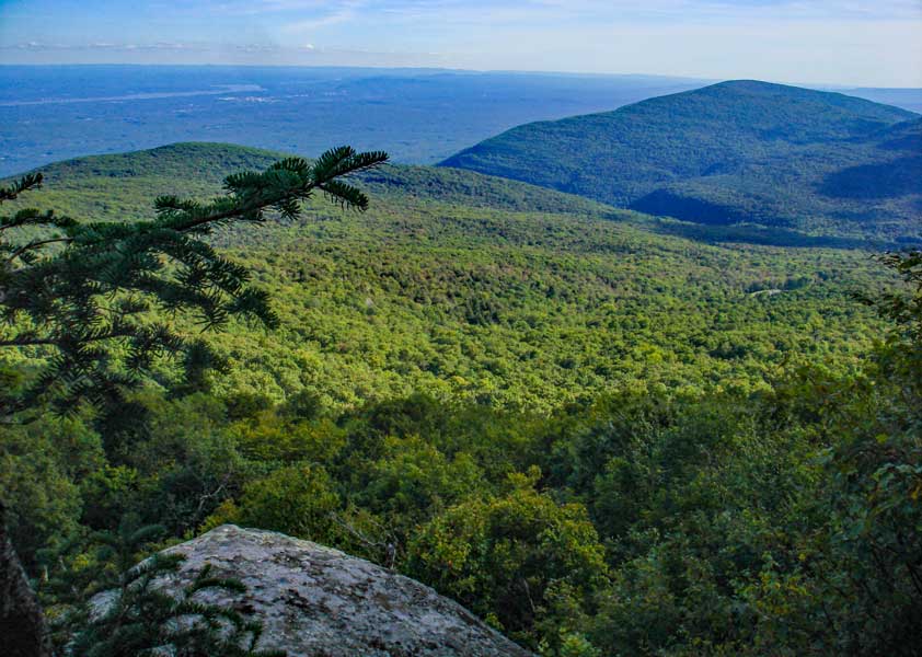 |
This image is of the Southeastern direction. It shows Huckleberry Point, Devil's Kitchen, and Overlook Mountain. In the distance you can see the Hudson River, Kingston, Poughkeepsie, New Jersey, Connecticut, and Massachusetts.
Once you are done, return back to the summit of Kaaterskill High Peak. |
|
|
After you return back to the summit of Kaaterskill High Peak, reverse your course back to your car. You can also descend down the northern side of the mountain until you reach the Long Path (take a right). Look at the map of you plan on going down the Northern side. Hope that you enjoyed this hike!. |
|
|
S E C T I O N S
|
W E A T H E R
|
O T H E R
|
