Ticetonyk View Point |
 |
| |
| |
|
|
|
Maps |
 |
|
 |
|
|
| | DIRECTIONS TO TRAILHEAD |
| | DEP Parking Lot WGS84 (DEC): 41.995333, -74.229633 - Elevation is approximately 1,313 feet |
| | DEP Parking Lot Deg/Min/Sec: N41 59 43, W74 13 46 - Elevation is approximately 1,313 feet |
| | DEP Parking Lot GPS: N 41 59.720, W 74 13.778 - Elevation is approximately 1,313 feet |
| | DEP Parking Lot UTM: 18N 563805 4649545 - Elevation is approximately 1,313 feet |
| |
|
| | Take New York State Thruway to Exit 19 (Kingston). |
| | Take a RIGHT out of the NYS Thruway entrance road on Traffic Circle to Rt 28 West |
| | Go approximately 12.8 mile to Bostick Road |
| | Take a RIGHT onto BOSTICK Road |
| | Go approximately 1.8 miles on Bostick Road. |
| | Take a RIGHT onto PECK Road. |
| | Go approximately 3/10 mile on Peck Road. |
| | Take LEFT into the DEC/DEP Parking Area (room for 4 cars). |
|
|
NOTES ABOUT THIS HIKE |
| | The beginning of this hike is next to private land. Please stay on the trail. Ticks can be found if you leave the trail. But, rarely found on the trail.
There is a side trail near the Ticetonyk view Point. This side trail will take you part way to the summit if Ticetonyk Mountain. Please note that there is a small trail part way to the summit. You will have to bushwhack the final part of the hike to the summit. In the summer months your pants should be sprayed with Swayer Parmethian to prevent tick bites. Parmethian should be sprayed outside on your hiking pants and allowed to dry outside. Ticks in the Catskill Mountains can cause a variety of disease, such as, Lyme Disease, Rocky Mountain Spotted Fever, etc. This only applies to the hike to the summit. If you only hike on the wide trail to the view point, ticks should not be a problem. |
|
|
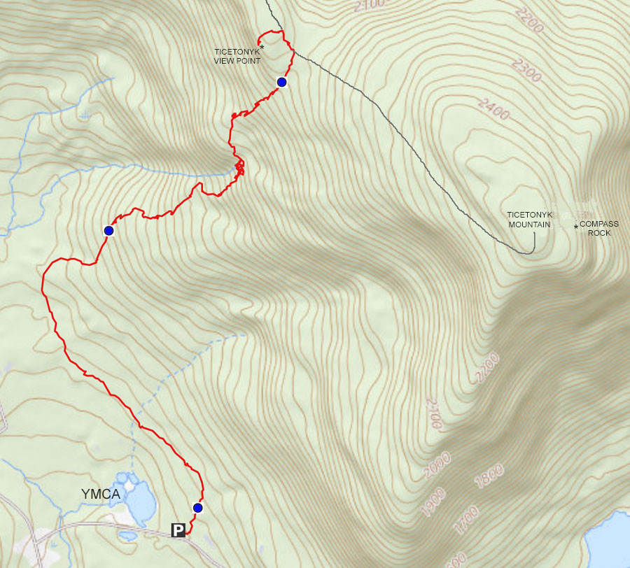
MILEAGE CHART |
| | Mile Point | Altitude | Notes |
| | 0.00 | 1,313 | DEC/DEP Parking Lot. |
| | 1.53 | 2,160 | Side Trail to Summit of Ticetonyk Mountain |
| | 1.58 | 2,181' | Trail Junction - Left goes to Ticetonyk View Point |
| | 1.62 | 2,157' | Ticetonyk View Point |
| | 3.24 | 1,313 | Return to Parking Lot |
|
|
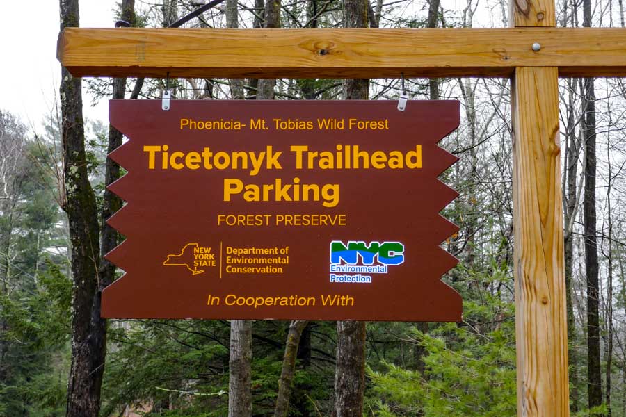
Hike to Ticetonyk View Point in the Phoenicia - Mt Tobias Wild Forest |
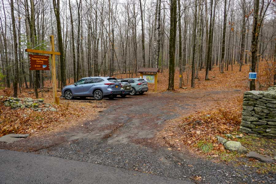 |
The image on the LEFT is the DEP/DEC Parking Lot with off-road parking. It can hold about 4 cars. A few more if you pack them in. Expect the parking area to be completely full on weekends. Unlikely it is plowed in the Winter. |
|
 |
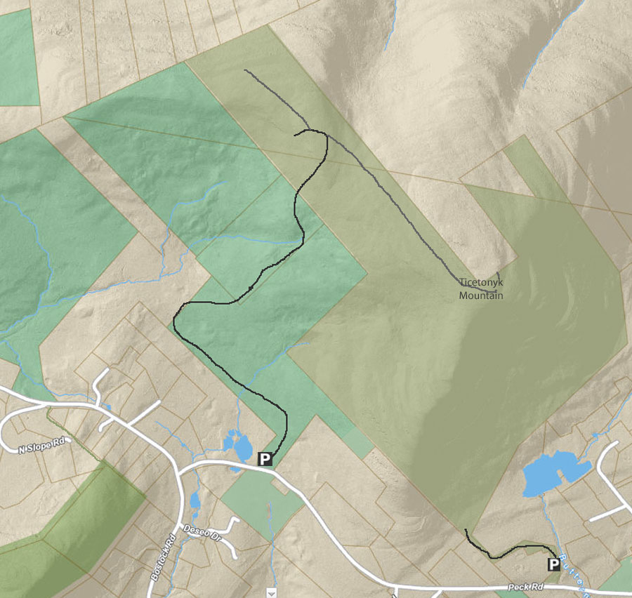
This hike is a partnership project with the DEP and DEC. The DEP actually owns the land, while the DEC maintains the parking lot and trail. Rules for both the DEP and DEC apply. Once you get up near the View Point the land changes to DEC land. |
|
 |
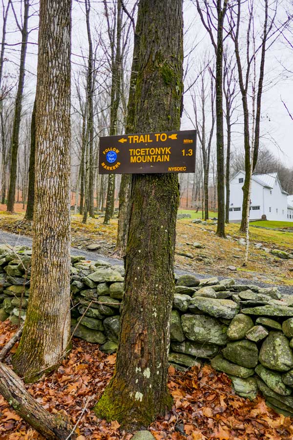 |
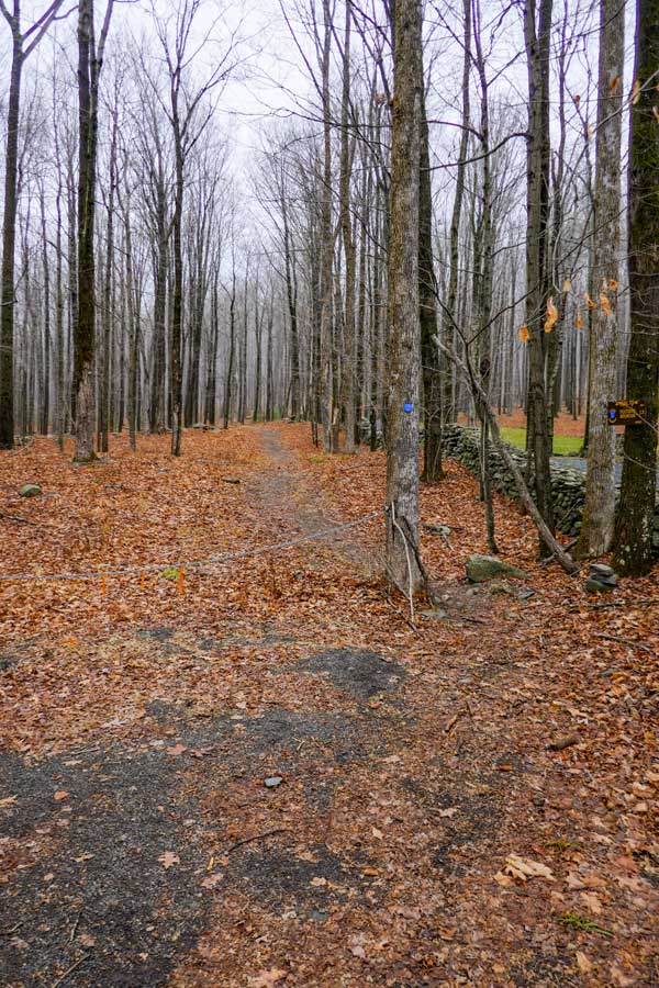
The picture on the LEFT show the end of the parking area. There is a chain blocking vehicles from driving up the trail. Go around the chain on the right to start the hike.
The picture on the RIGHT states that the trail is 1.3 miles. But, it is actually around 1.6 miles. |
|
 |
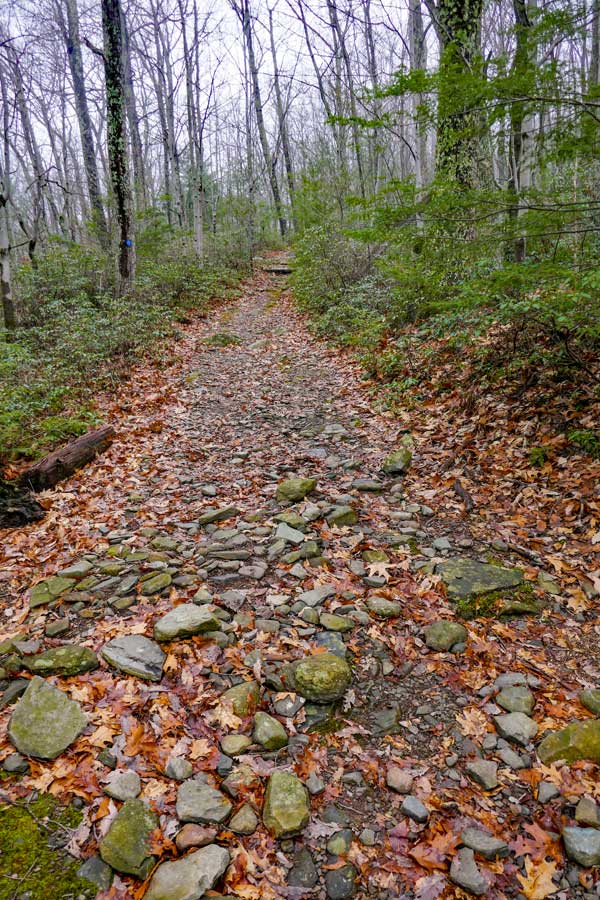 |
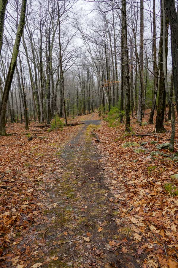
The picture on the LEFT show the trail heading west. For the beginning of the hike, the trail is essentially flat. When the trail turns right (to avoid hiking on private land) the trail will start to go uphill.
The picture on the RIGHT shows how most of the trail looks as it goes uphill. The incline will increase slightly as you go up in elevation. Lots of Mountain Laurel on both side of the trail. |
|
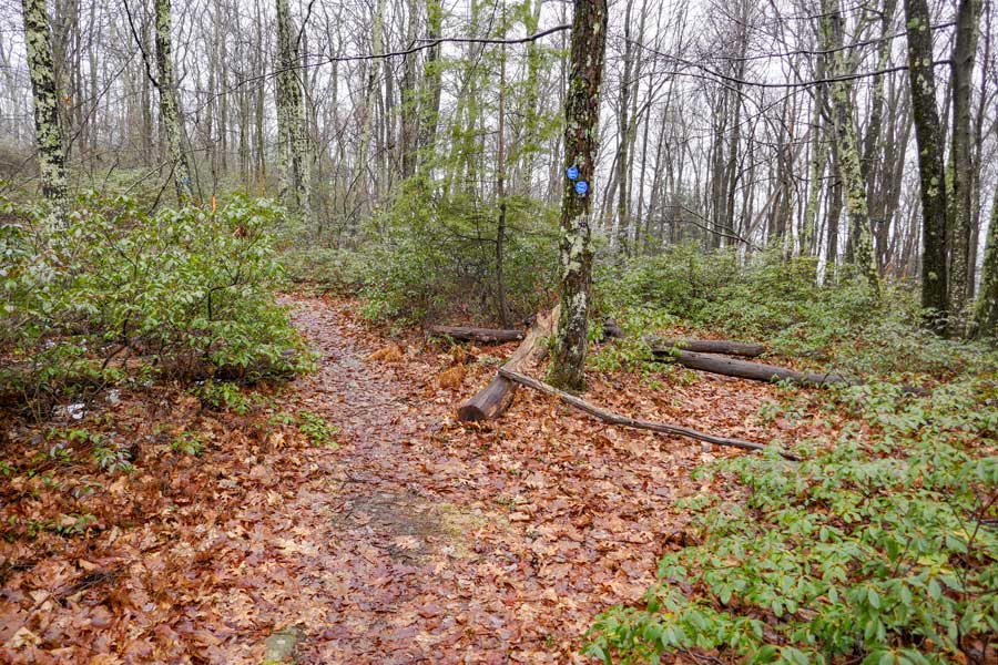 |
This is the side trail that will take you to the summit of Ticetonyk Mountain. To continue to the Ticetonyk View Point, continued on the trail on the LEFT of the picture. The Ticetonyk View Point is 450' away from this trail junction.
The side trail is on the right (with logs across the trail). This is an unofficial trail that is not maintained. The unofficial side trail will not take you completely to the summit. Part way there you will have to bushwhack to the summit of Ticetonyk Mountain. |
|
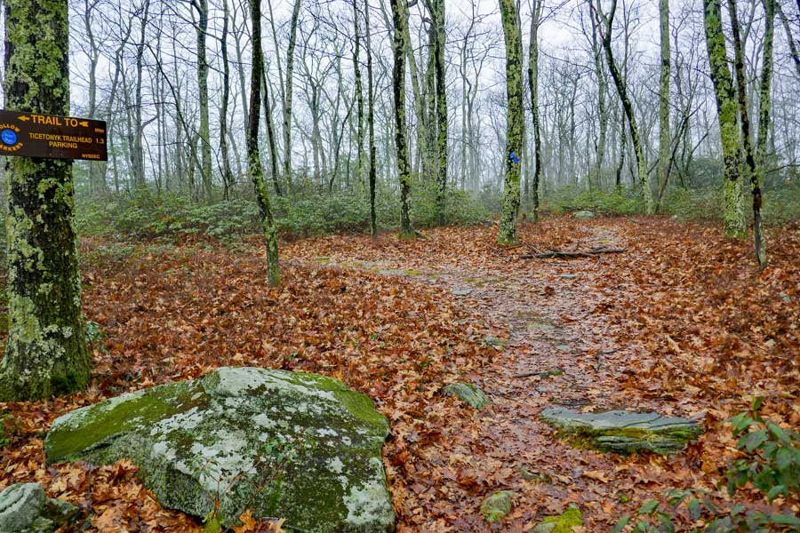 |
Shortly after you pass the side trail to the summit of Ticetonyk Mountain, you will see the side trail on the LEFT. The side trail on the left will take you to Ticetonyk View Point. Going straight will take you to the far corner of public land where you will have to turn-around and come back to this point. |
|
|
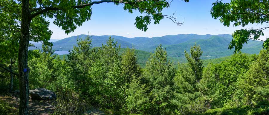
This is the Ticetonyk View Point. There are several view points at this location. You can see most of the mountains between Ashokan High Peak to the Wittenberg Chain. The body of water below is the upper part of the Ashokan Reservoir where the Esopus Creek flows into the reservoir. |
|
|
S E C T I O N S
|
W E A T H E R
|
O T H E R
|