|
Information about Lower Wildcat Falls: |
| Name: Lower Wildcat Falls |
| County: Greene |
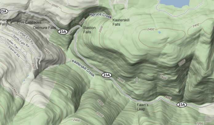
| Region: Kaaterskill Clove |
| Location: South side Kaaterskill Creek |
| Order within ravine: 4nd of 5 waterfalls (1=highest elevation) |
| Drops within waterfall: 2 |
| Total Height: 57' |
| Top Elevation: 1,926' |
| Bottom Elevation: 1,869' |
| Type of Waterfall: plunge |
| Number of Drops: 2 |
| GPS location: N42 10.370 W74 03.808 |
| Previous or Alternate Names: none |
| Description: This waterfall is a two drop waterfall. It is 57' high. While this waterfall is about 250' below Wildcat Waterfall, you cannot see it from the top of Wilcat Waterfall. Access to this waterfall is VERY DIFFICULT. There is a trail on the east side of the waterfalls betweek Wildcat and Lower Wildcat. The west side of the creek between Wildcat and Lower Wildcat is very difficult (in the ravine). We believe that you might be able to find it on the east side. You can also access it from the west side, by walking down the trail approximately 1,000 feet and hiking down below the rim. You will then have to hike down to an elevation of 1,950'. This elevation will take you to the top of Lower Wildcat Waterfalls. There is a trail that leads to the top of Lower Wildcat Waterfalls. You have to be very careful getting down to his elevation and walking to the top of the falls. It is steep and slippery. You then have to cross the creek and hike up the east side of the creek to the base of Wildcat Falls. . |
| Hiking Distance: 4 miles one-way. |
| Best time to Visit: Anytime |
| Map No: USGS: Kaaterskill Quad |
| Digital Mapper:
Topo
Terrain
Satellite |