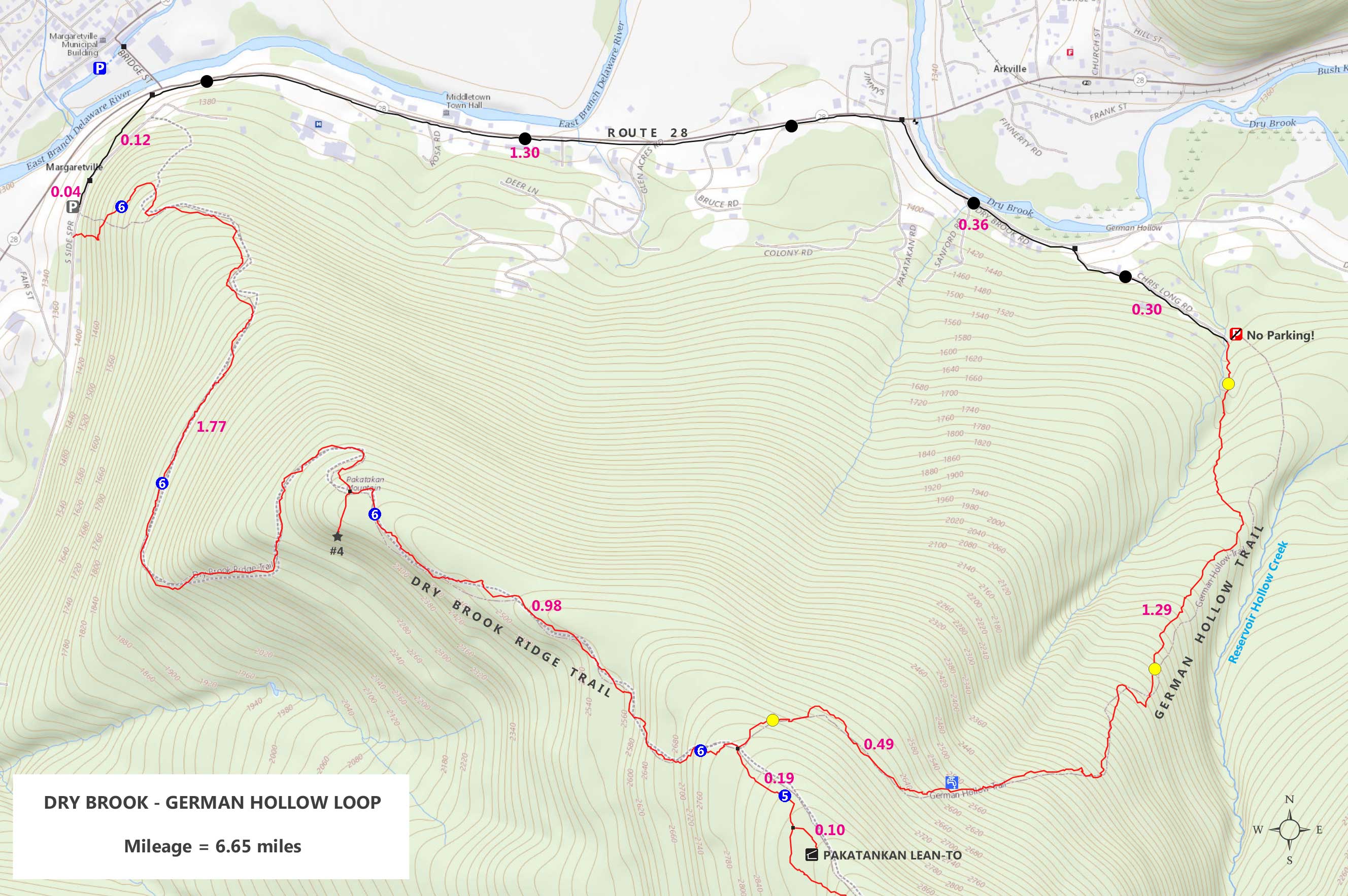
|
Hike to Dry Brook Ridge Trail from South Side Road |
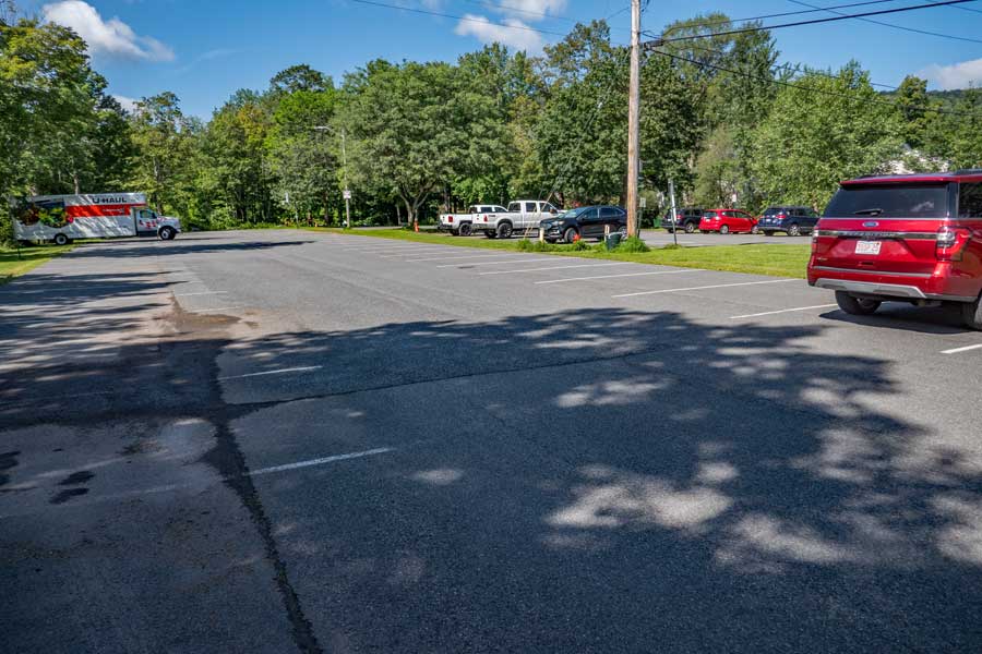 |
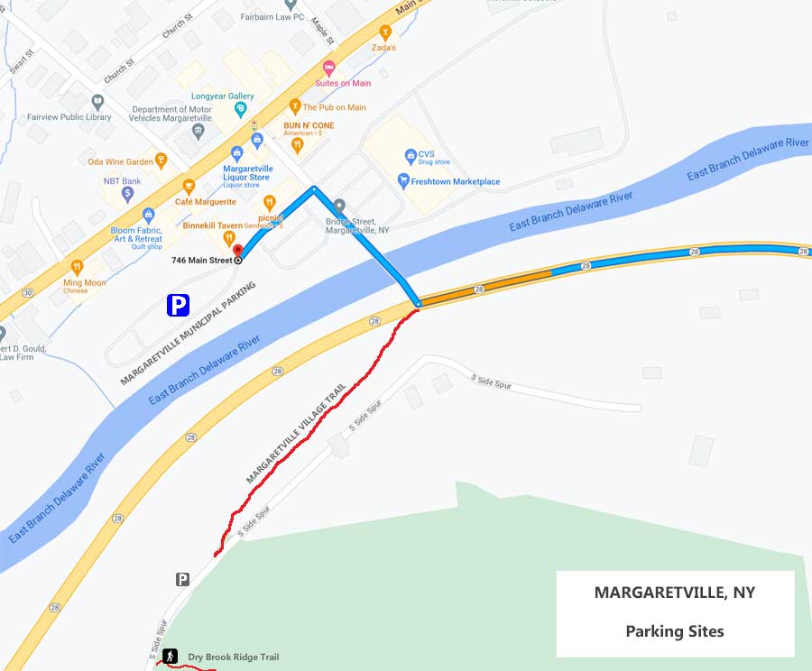
This is the Margaretville Municipal Parking Area. It holds about 100 cars and allows overnight parking. It is located about 1/3 of a mile from the Trailhead to the Dry Brook Ridge Trail where this hike will start. See map for how to get to the Dry Brook Ridge Trailhead.
|
|
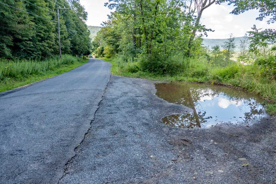 |
This is the parking on the side of the South Side Road. Make sure you get all four wheels off the road. If you are parking overnight, I would suggest parking at the Margaretville Municipal Parking Area. Most people use the South Side Road for day hiking.
|
|
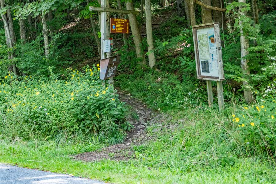 |
This is the DEC Kiosk and trailhead for the Dry Brook Ridge Trail.
The DEC Registration Box is also located here. Funds for maintenance of the regional trails depends upon how many people register for a hike in this region. Additionally, if you or someone else in your party have an emergency, Rangers and SAR will use the information in the registration box to find and help you. If someone goes missing, Rangers may call you to determine if you saw someone missing. Your life and someone else life may depend up you registering.
|
|
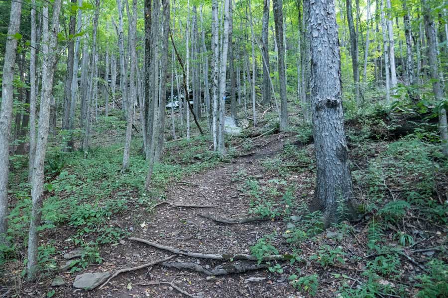 |
The beginning of the Dry Brook Ridge Trail climbs in elevation a little more then normal as it climbs up to the first ledge. It then levels off to get around the ledges. It repeats this climbing and leveling off several times.
|
|
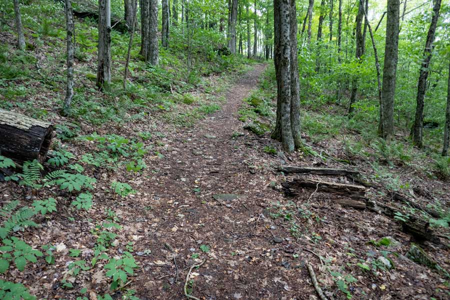 |
The trail will level off while it works it way around the first set of ledges.
|
|
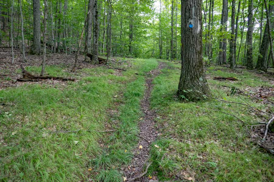 |
A grassy section of level hiking as you climb higher towards the Pakatakan Mountain Summit
|
|
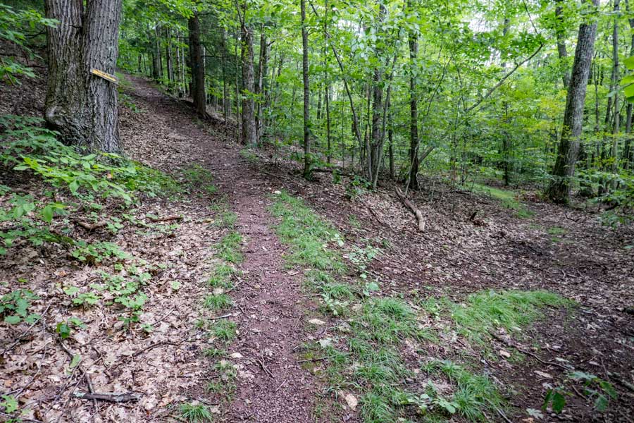 |
As you approach the summit of the Pakatakan Mountain, there is a side-trail you can see on the right side of the photo. This side trail will take you to private property. You want to continue LEFT up the hill.
|
|
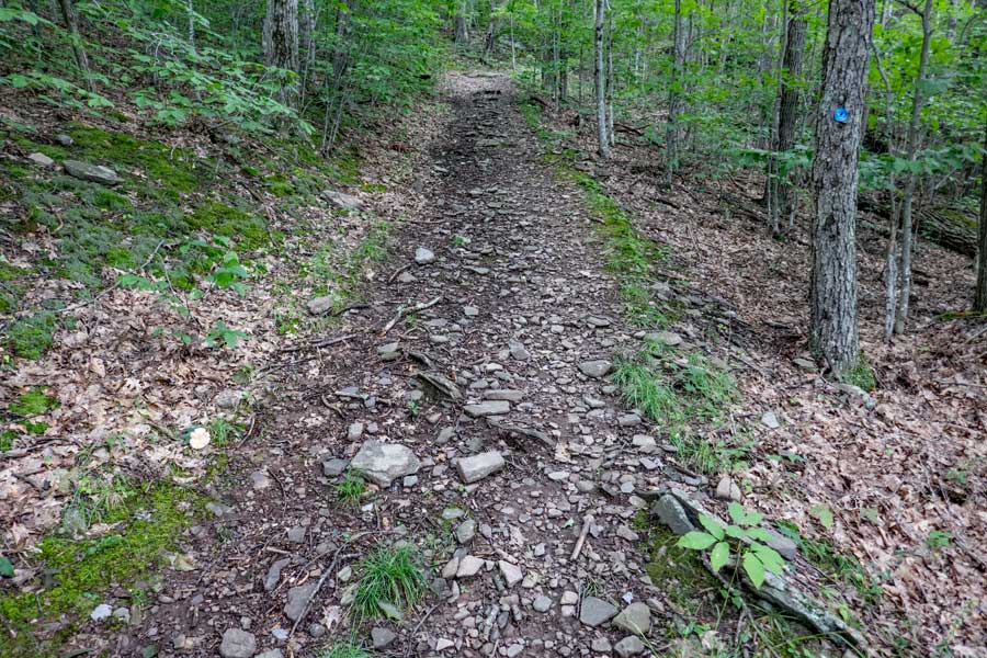 |
You will climb in elevation as you approach the base of the Pakatankan Mountain. The elevation climb continues for a ways.
|
|
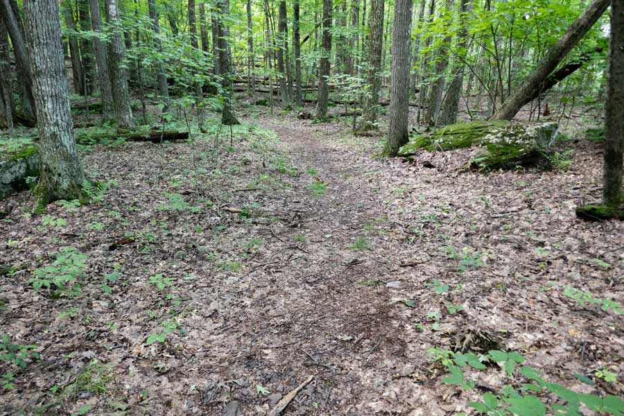 |
At the top of the hill is another flat section of the trail that runs across the base to the summit of Pakatakan Mountain. The trail will then turn to the right as it works it way up to the summit.
|
|
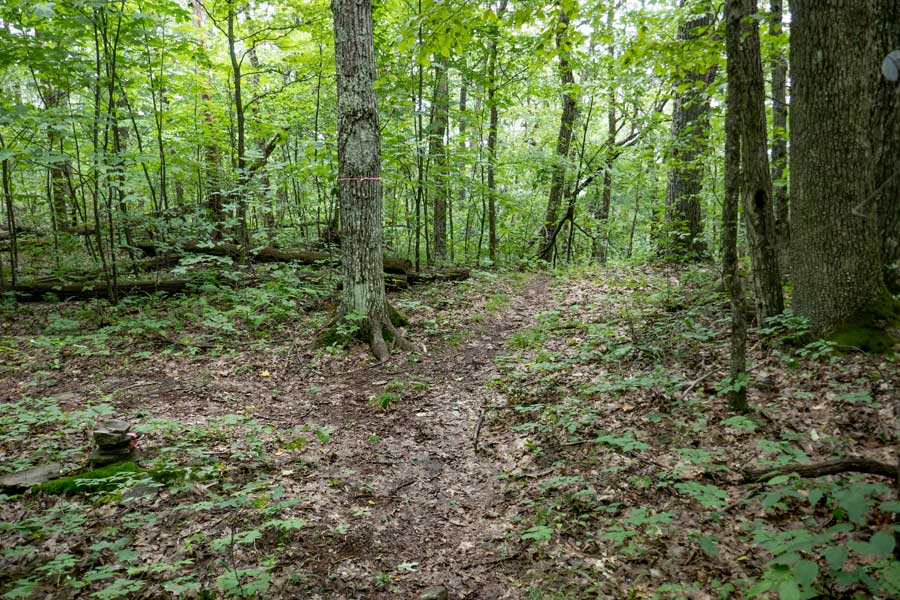 |
This is the summit of the Pakatakan Mountain. It really isn't a real mountain summit. It marks the beginning of the Dry Brook Ridge. This picture was taken looking backwards. There is a side trail about 15 feet past the highest point. This side trail will take you out to View Point #4. The side trail is not an official trail.
|
|
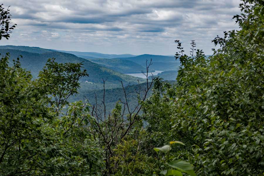 |
This is the limited View Spot #4 on the Dry Brook Ridge Trail. It is close to being overgrown. The view is better when the leaves are not on the trees. Some people do camp here because the side trail is not an official trail.
|
|
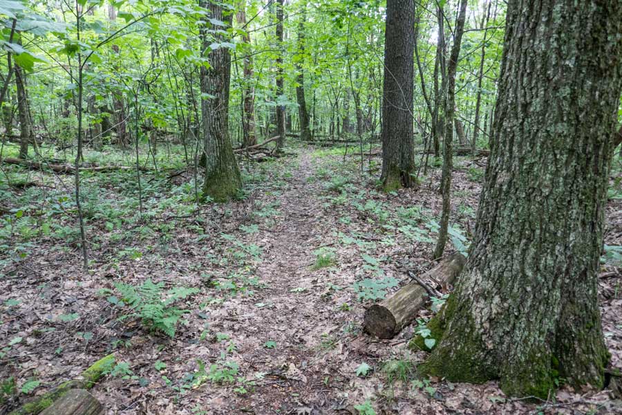 |
The incline of the trail beyond the Pakatakan Mountain Summit is more mild, and you will find more flat hiking sections.
|
|
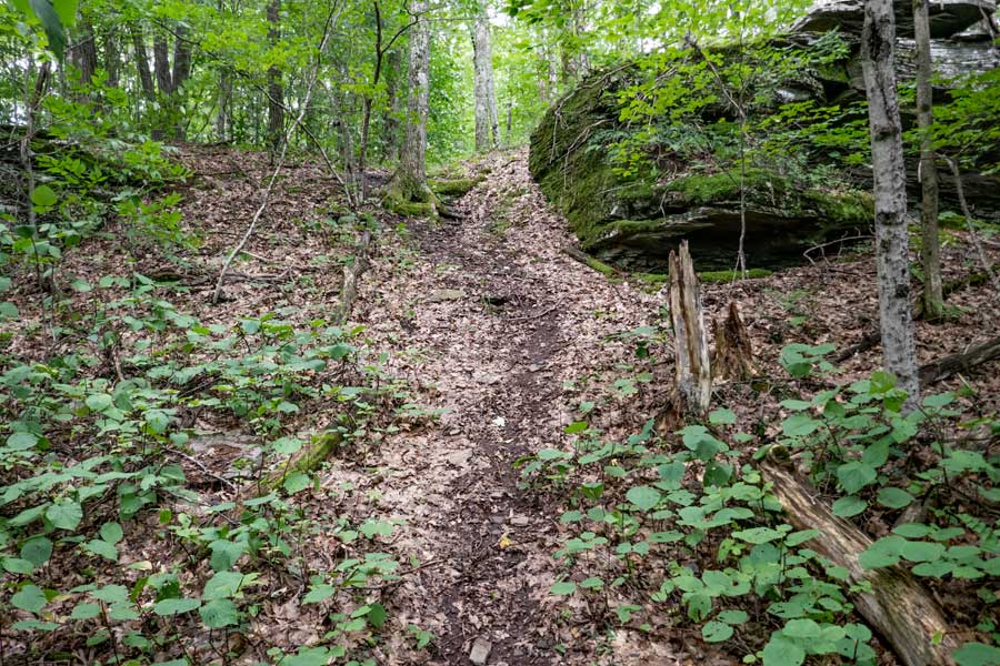 |
There are a few minor short climbs as you hike between Pakatakan Mountain and the trail junction to the German Hollow Trail.
|
|
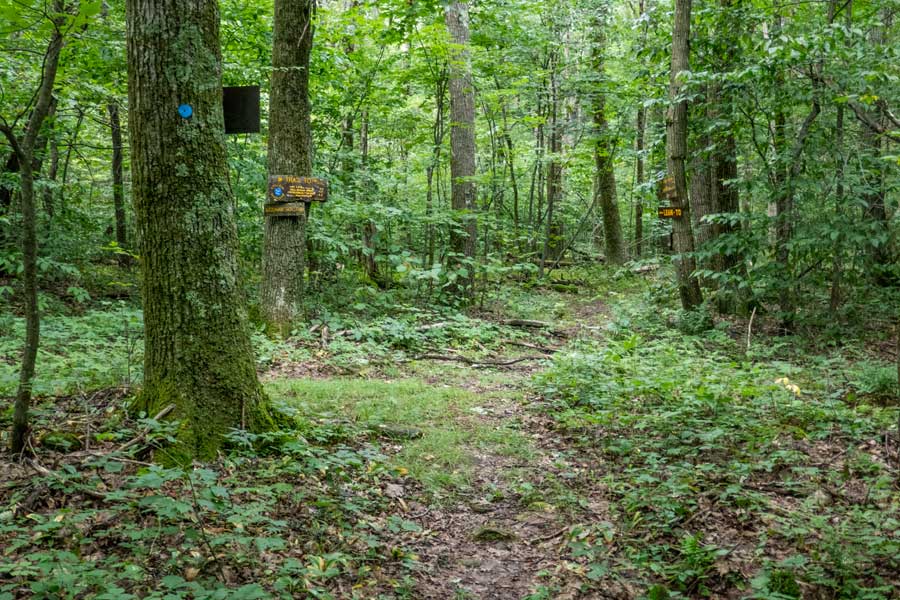 |
This is the Trail Junction to the German Hollow Trail on the Dry Brook Ridge Trail. Left will take you to German Hollow. Go LEFT
Straight will take you to the Pakatakan Lean-to in a 1/4 mile, and further to the Dry Brook Ridge. the Dry Brook Ridge has 3 view points. The view points are over two miles away.
|
|
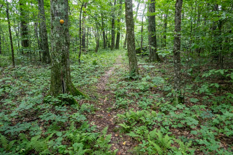 |
The beginning of the German Hollow Trail is flat as it goes across the ridge. After a short distance it will start to head downhill at a moderate decline.
|
|
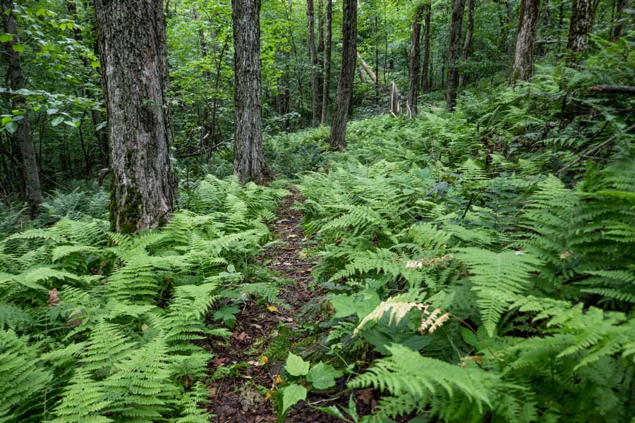 |
As soon as you drop off the Dry Brook Ridge, you will encounter several large glades of ferns. Most hikers find that following the trail fairly easy.
|
|
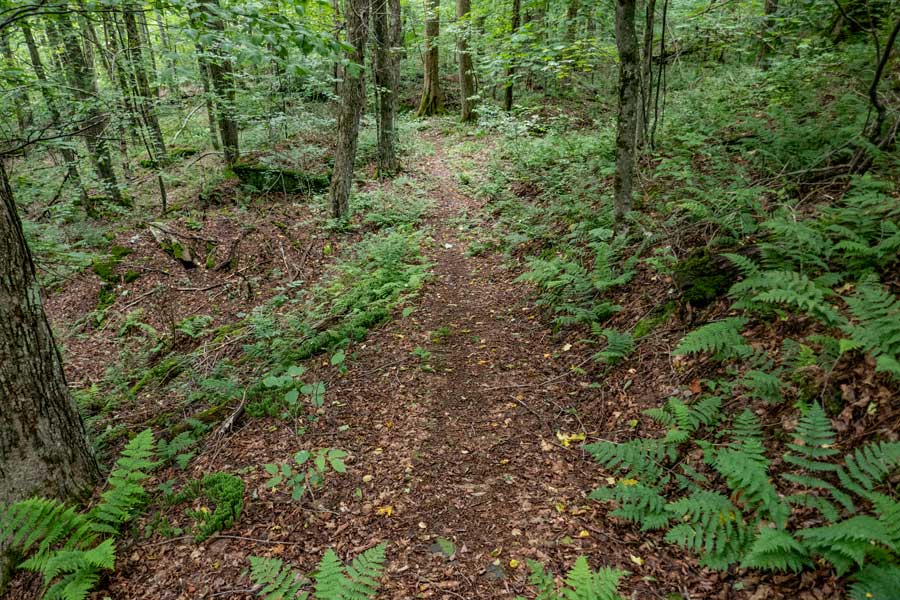 |
After about a 1/4 mile the fern glades will disappear and the trail is easy to follow.
|
|
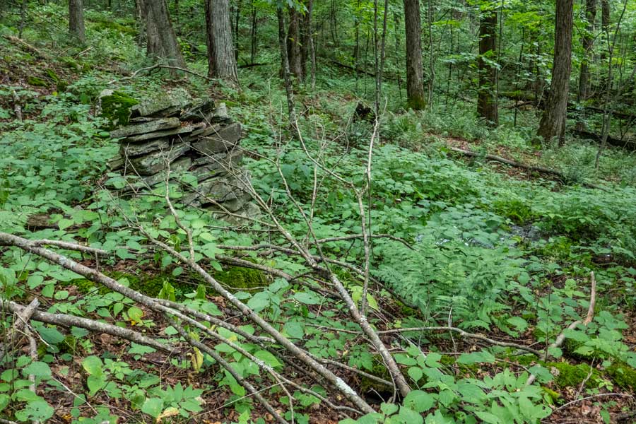 |
This is the only water source on this hike and is located on the German Hollow Trail. It is located almost a 1/2 mile from the Dry Brook Ridge Trail, and 3/4 of a mile from the Pakatakan Lean-to.
There is a rusty steel pipe coming out of the ground. It is only a couple inches above the ground. Hopefully in the future it will be replaced with a PVC pipe. There are a lot of stinging nettles surrounding the pipe, so be careful where you stick you hands.
|
|
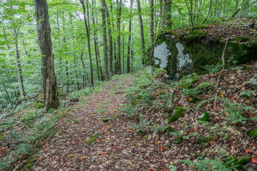 |
Once past the water spring, the trail will change to an old logging road that has a nice tread base. The further down the German Hollow Trail you hike, the more enjoyable you will find this trail. Many consider the bottom of German Hollow exceptional.
|
|
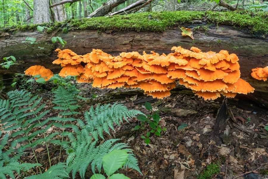 |
The German Hollow has an extensive collection of mushrooms and fungi that some hikers like to search for.
|
|
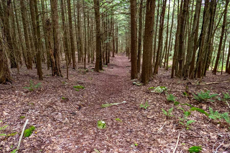 |
As you get to the bottom section of German Hollow, the forest will change from a deciduous forest to a beautiful conifer forest. There are also many old logging roads running through the German Hollow Trail.
|
|
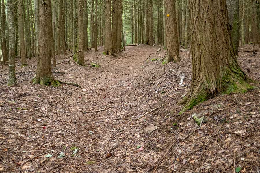 |
Very few people actually hike all the way down the German Hollow Trail due to no parking area at the bottom of the trail. The tread base of this trail is exceptionally nice to hike on.
|
|
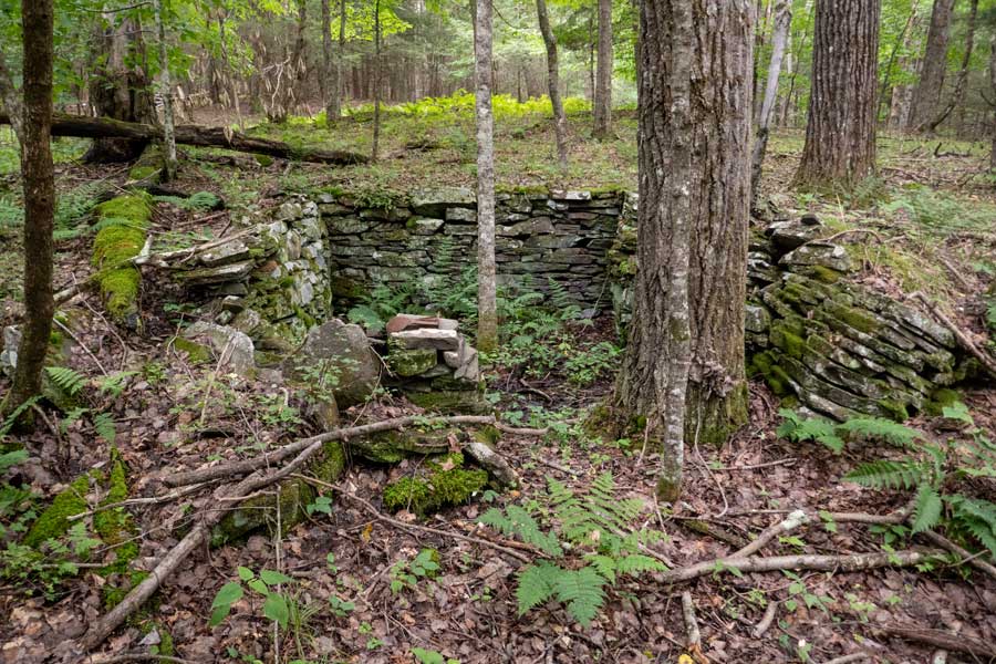 |
This is one of the old home foundations that exist off the German Hollow Trail. There is another one close by. A good area to explore if you like old history of the Catskill Mountains.
|
|
 |
 |
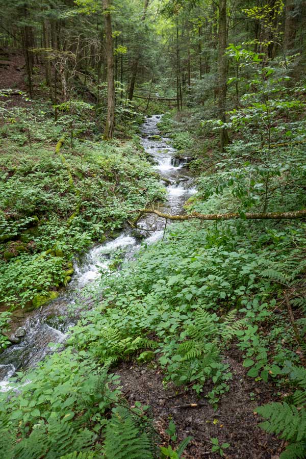
This is the Reservoir Hollow Creek. There is a non-DEC trail that goes for almost a mile along this beautiful creek. |
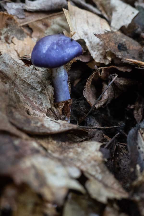
This is a rare European mushroom near the old house rock foundation in the German Hollow. There are many other types of mushrooms in the region. |
|
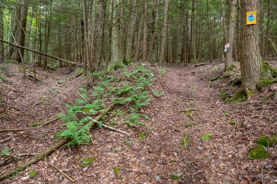 |
Once you arrive near the edge of New York State land, you will see these two signs. This picture is looking back up the trail. The trail on the left follows the Reservoir Hollow Creek for almost a mile. At one point it does cross the Reservoir Hollow Creek. If you have time it is worth exploring.
From this point forward stay on the path down to Chris Long Road. You are now entering onto private property. Please respect the owners property and privacy.
|
|
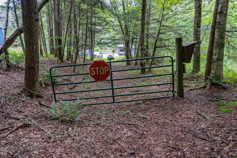 |
This is the Trailhead for the German Hollow Trail. There is also a DEC Registration Box there. Continue past the gate towards Chris Long Road. Remember you are now on PRIVATE PROPERTY!
|
|
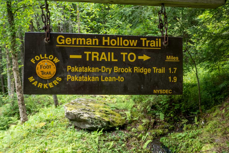 |
You will reach this sign in less then 100 feet. You are now standing on the land owners driveway. So, be courteous and respectful to the land owner.
Walk onto Chris Long Road. You will walk down Chris Long Road for 3/10 of a mile until you reach Dry Brook Road. Take a LEFT onto Dry Brook Road.
Walk down Dry Brook Road for another 3/10 of a mile until you reach Rt 28. Take a LEFT onto Rt 28.
Walk down the sholder of Rt 28 for about 1.3 miles.
When you reach Bridge Street (bridge that goes over East Branch of the Delaware River) you will turn left or right. If you parked in the Margaretville Municipal Parking Area, Take a right across Rt 28 and down Bridge Street for 1/10 to the parking area.
If you parked on South Side Road, walk until you are past the concrete blocks on your left. Look for a faint herd trail up the bank. Go up the faint herd path to the Margaretville Village Path (owned by the village).
|
|
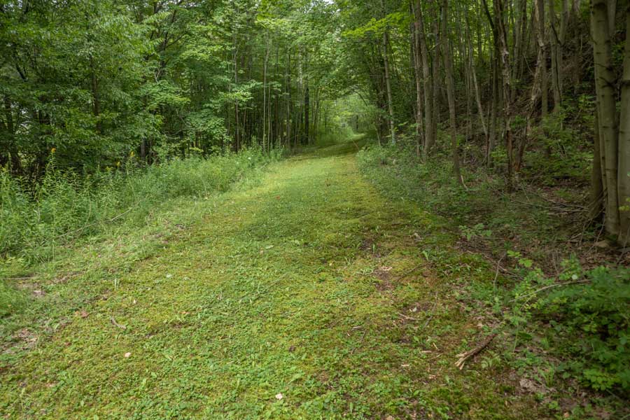 |
This is the Margretville Village Trail. It goes for about 650 feet. Follow it up the hill. It is a public trail between Rt 28 (by Bridge Street) and South Side Road.
|
|
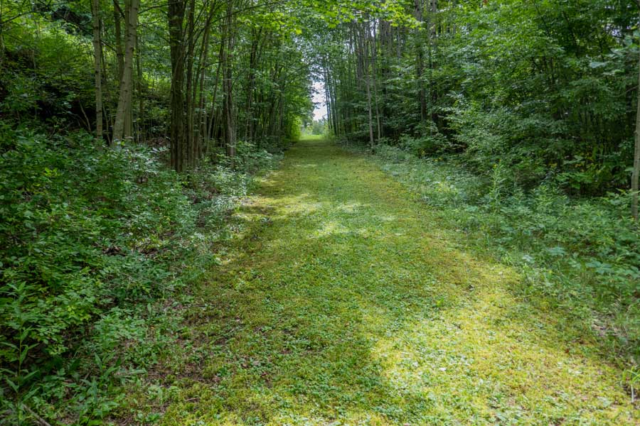 |
As you hike up the hill, you will see some daylight ahead. This is South Side Road, where your car is parked. So, keep hiking up to the guard Rail
|
|
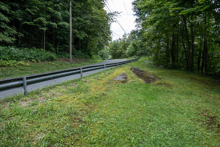 |
This is South Side Road. On your right you will see a red fire hydrant. Continue walking up next to the guard rail until it ends. Then walk up South Side Road to your car. If you look at the picture you can see cars parked off South Side Road. That is the South Side Road parking area where your car is parked. Hope you enjoyed this hike.
|
|
|
S E C T I O N S
|
W E A T H E R
|
O T H E R
|

 Dry Brook Ridge Trail (From Margaretville NY to German Hollow TH)
 German Hollow Trail (From Dry Brook Ridge Trail to Chris Long Road)
 Roads (From Chris Long Road to Margaretville NY)