|
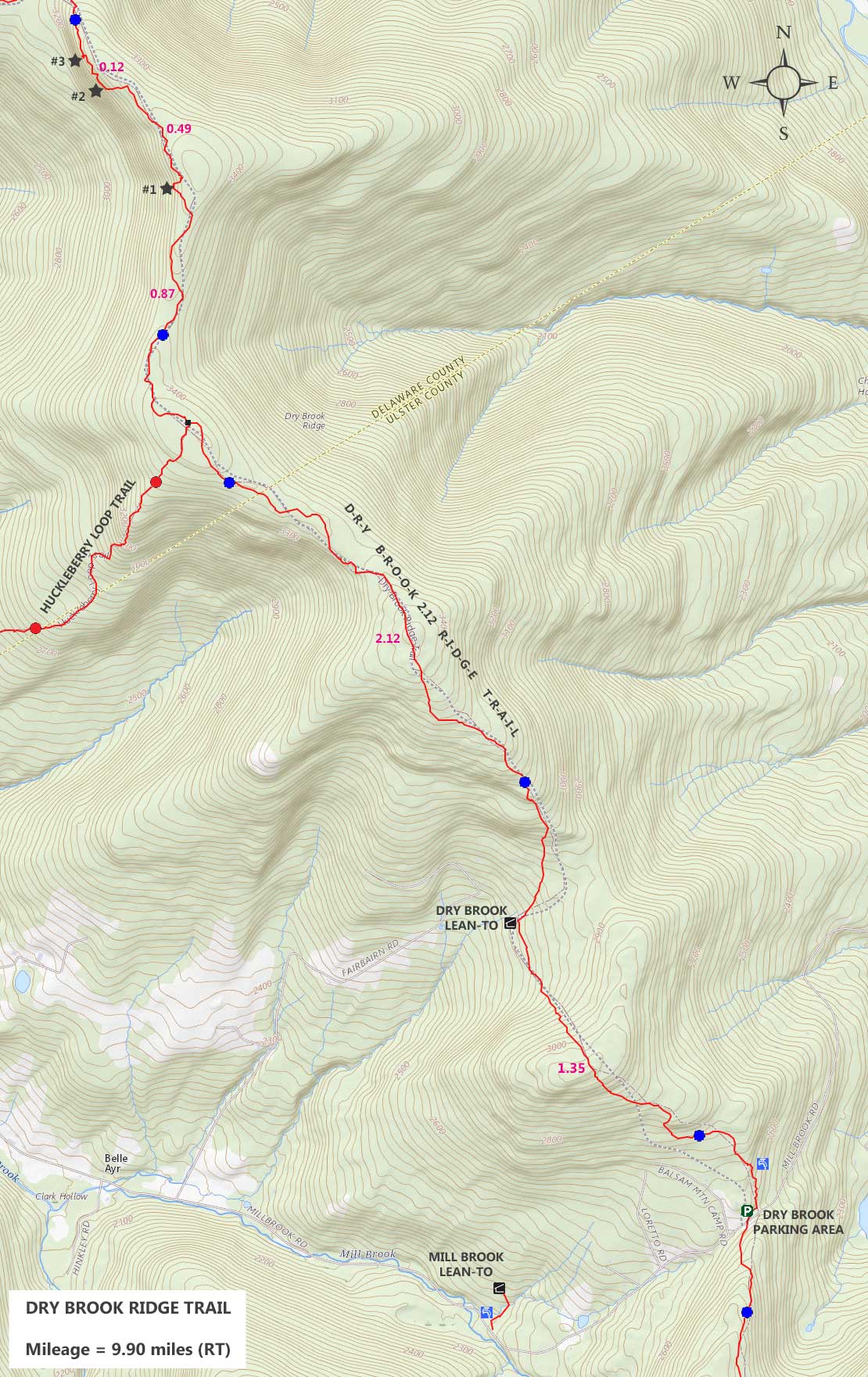
Hike to the Dry Brook Ridge from Mill Brook Road |
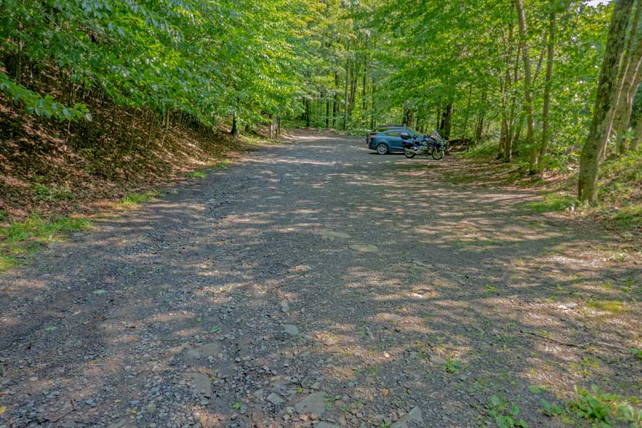 |
Once in the Dry Brook Ridge Parking Area, you want to hike to the bottom left of the parking area to continue on the Dry Brook Ridge Trail. You are still on Private Property, so do NOT wander out of the parking area.
|
|
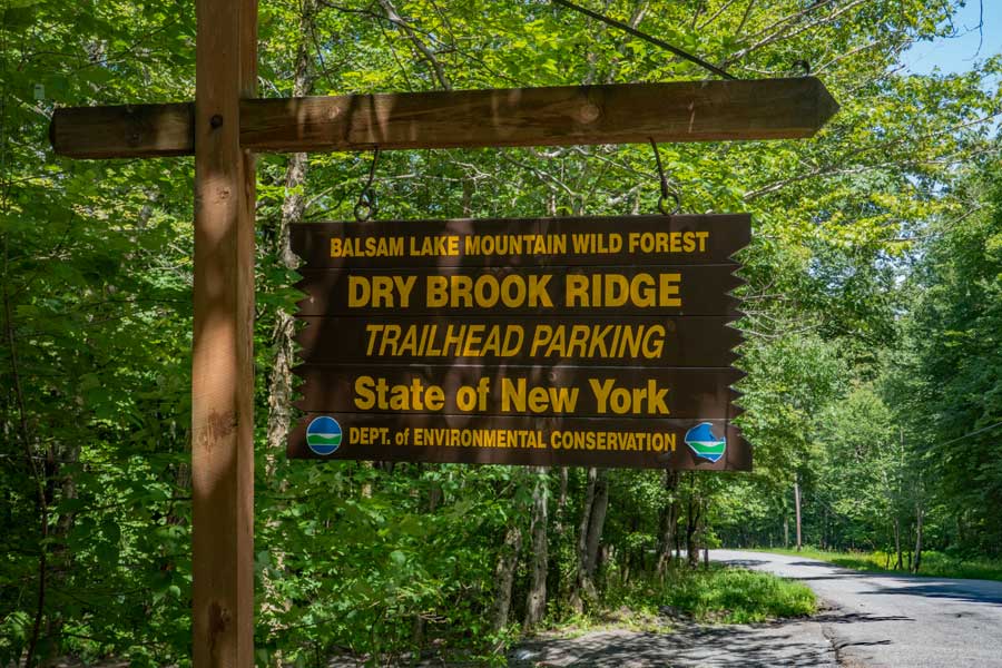 |
This is the DEC Dry Brook Ridge Parking Area sign off Mill Brook Road.
|
|
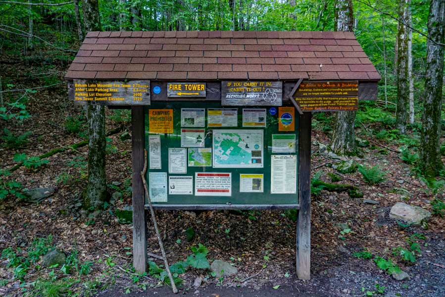 |
This is the Kiosk in the Dry Brook Ridge Parking Area. The Dry Brook Ridge Trail starts 25' RIGHT of the Kiosk.
|
|
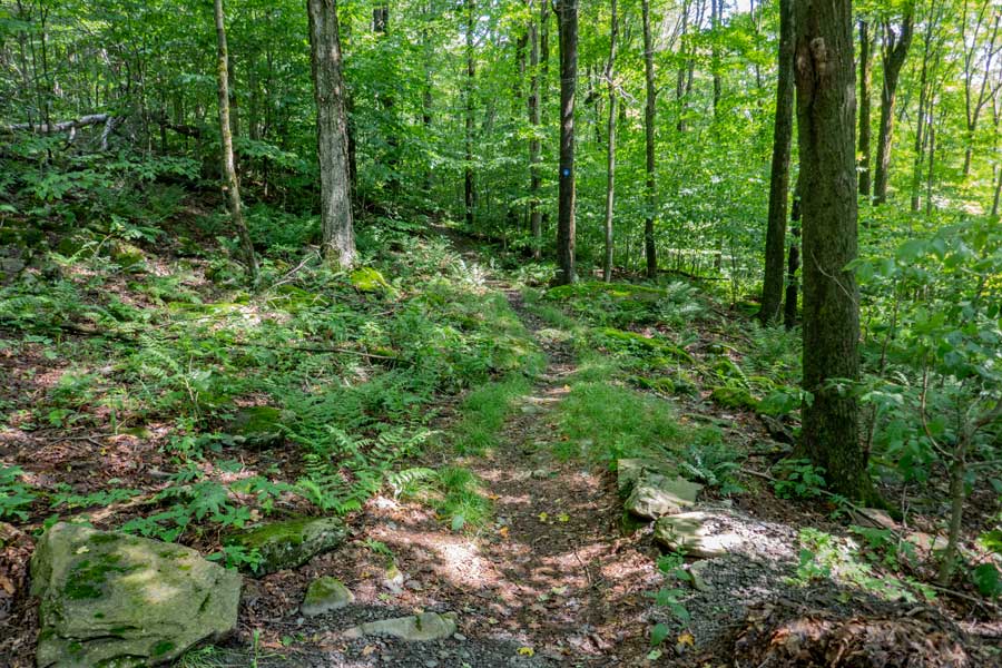 |
This is the beginning of the Second Section of the Dry Brook Ridge Trail. For a short distance, you will still be on Private Property. So, please stay on the Dry Brook Ridge Trail.
Once you get a little ways down this path, you will NOT have any water sources for the next 6-7 miles. Make sure you have enough water.
|
|
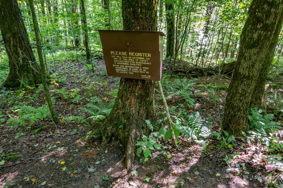 |
After about 250 feet, you will encounter the DEC Registration Box. Please register AGAIN! By registering again, Rangers will be able to narrow down what region you might be in. This is for your benefit.
|
|
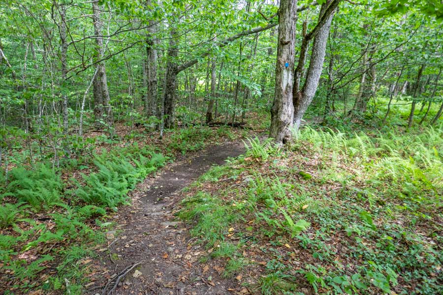 |
The second section of the Dry Brook Ridge Trail starts out fairly easy hiking. And, it will stay that way for the next 3-1/2 miles.
|
|
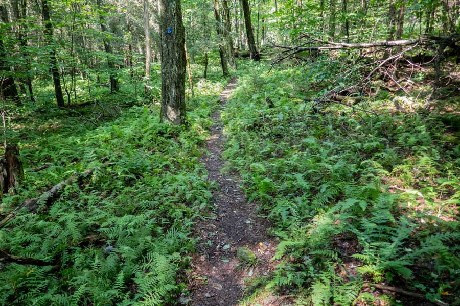 |
No shortage of beautiful fern glades on the Dry Brook Ridge Trail in this region.
|
|
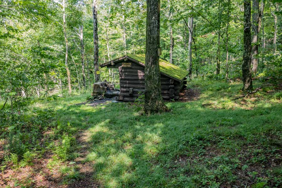 |
After hiking north on the Dry Brook Ridge Trail for about 1-1/3 miles, you will come to the Dry Brook Lean-to. The Dry Brook Lean-to sits on the edge of Public and Private Property. If you look at the tree just beyond the fire place, you will see one of many No Trespassing signs. The owner of the private property has security cameras on this property.
The Dry Brook Ridge Trail turns right where this picture was taken. It follows the edge of public and private property. So, stay on the trail!
|
|
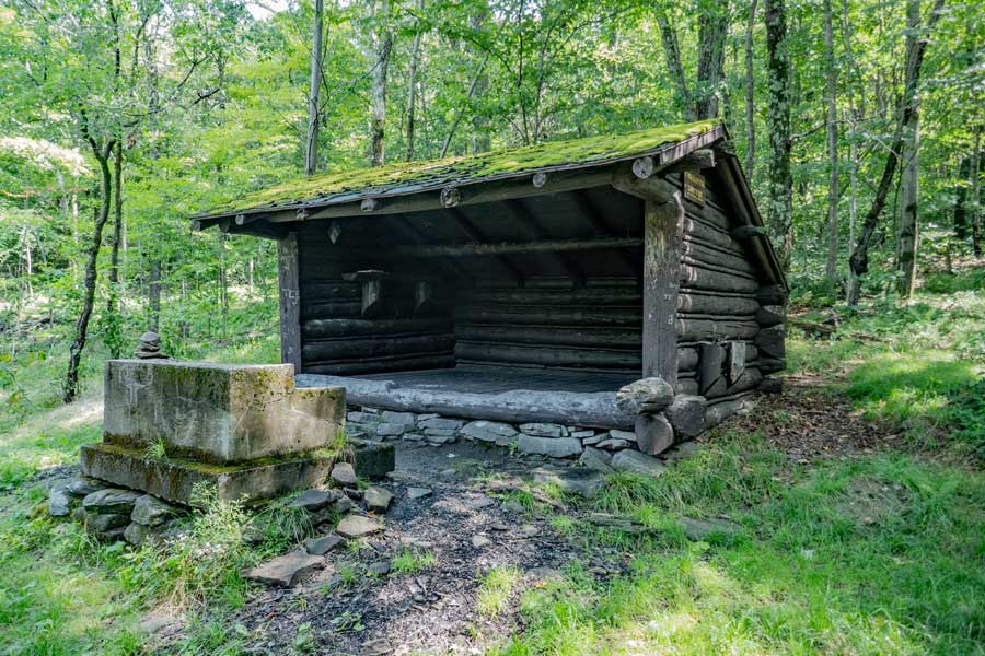 |
This is the Dry Brook Lean-to and fireplace.
|
|
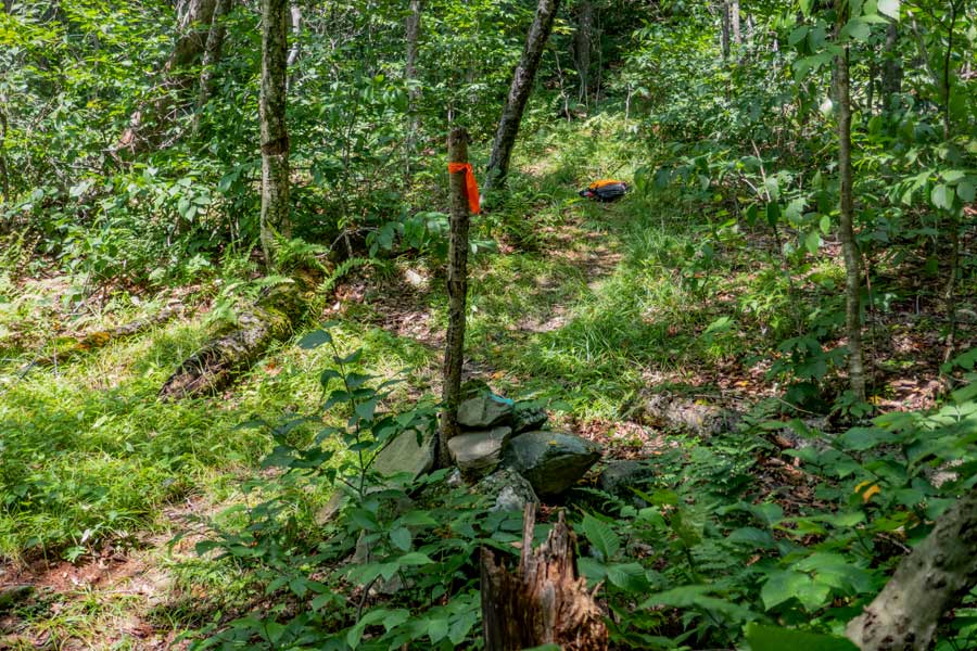 |
In the middle of this picture is a stick stuck in a rock cairn. This is the property border of two opposing blocks of public and private property.
You will also be crossing from the Balsam Lake Mountain Wild Forest into the Dry Brook Wild Forest. Once you are about 500 feet down the trail, you should be able to to leave the trail without worrying about walking onto private property.
|
|
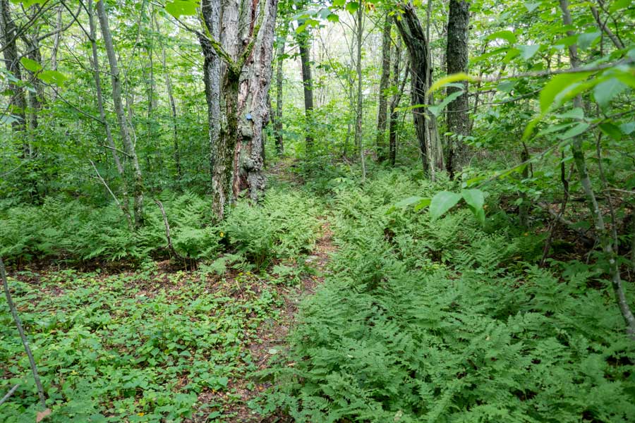 |
You will continue to walk through many fern glades.
|
|
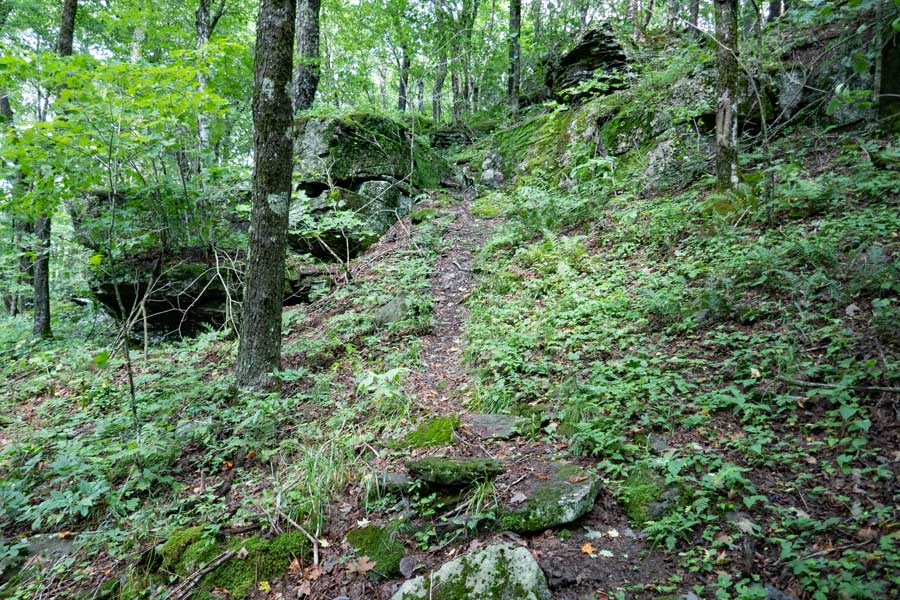 |
As you approach the Dry Brook Ridge, you will start to climb in elevation. Once you get on top, you will be at one of the high elevation points on this hike.
|
|
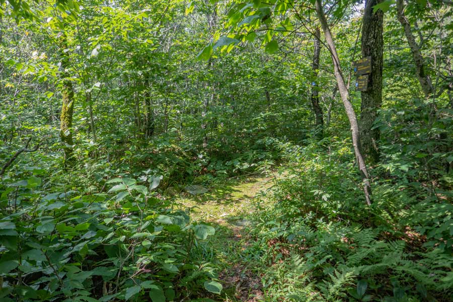 |
After almost 3-1/2 miles, you will encounter the trail junction for the Huckleberry Loop Trail. You want to continue STRAIGHT. Left would take you down into the Huckleberry Valley to Ploutz Road Parking Area.
This location of the trail is considered one of the high elevation spots on the Dry Brook Ridge Trail at 3,461'. The highest spot on the trail is 3,479'.
|
|
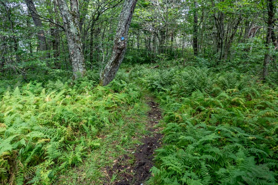 |
No shortage of fern glades on the Dry Brook Ridge. There are short ferns and tall ferns. With the name, "Dry Brook Ridge", you might think that the ridge is dry. Although it is true there is no water to collect, there is plenty of muddy sections of this trail. During a drought, it might dry up.
|
|
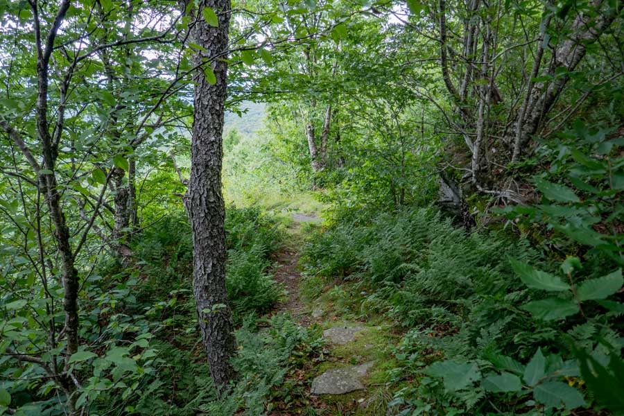 |
After almost 3/4 of a mile on the Dry Brook Ridge, you will come to the first View Point that overlooks the Huckleberry Valley. Be careful around the open section. Easy to fall off.
|
|
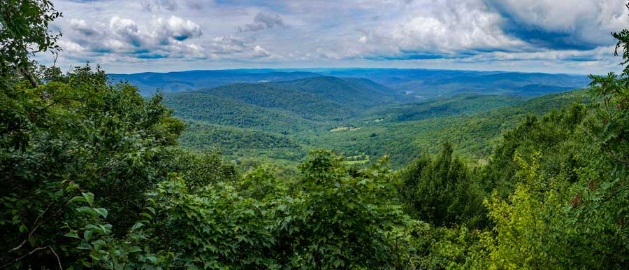 |
This is a panorama picture from View Point #1. On a nice clear day, you can far into the distance. Be careful around the open section. Easy to fall off one of the rock ledges.
|
|
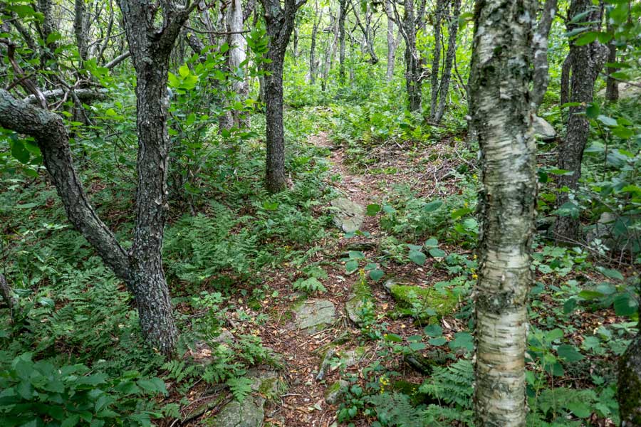 |
After you get done enjoying the views from View Point #1, the trail will then move back up on the ridge line. The trail will wind up-and-down the ridge for another 1/2 mile.
|
|
 |
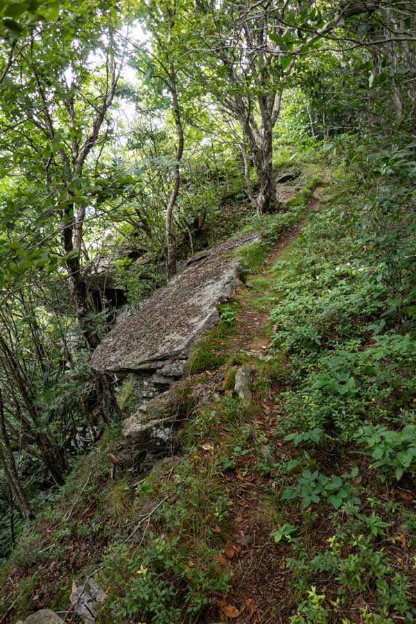 |
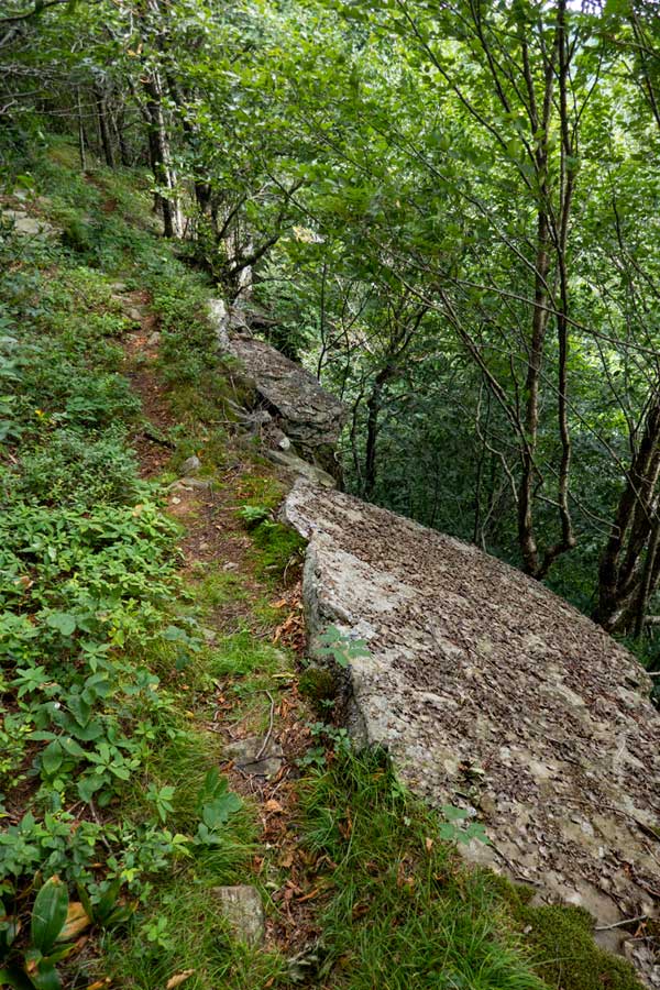
As you come back down off the ridge after about a 1/2 mile, it will come down to the very edge of the ledge. The ledge drops 40-50 feet. So, walk carefully here. If you fall here, you die. This picture was taken while looking backwards.
|
As you walk across this narrow trail on the edge of the ledge, you will hike up to View Point #2
|
|
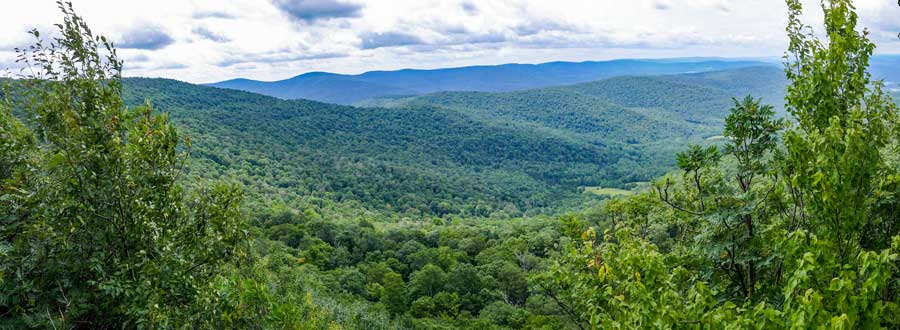 |
Here is another panoramic image of View Point #2 on the Dry Brook Ridge. It has a slightly different view of the Huckleberry Valley along with the Mill Brook Ridge in the distance.
|
|
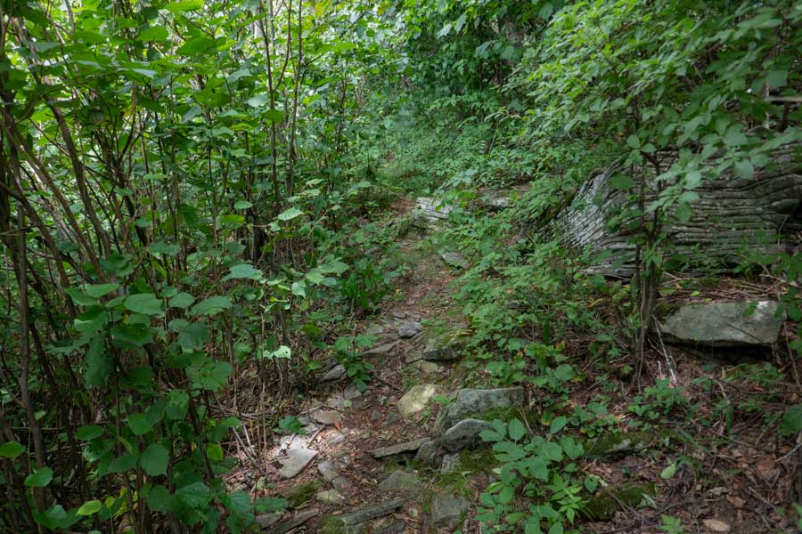 |
After you done enjoying View Point #2 on the Dry Brook Ridge, the trail climbs back up towards the ridge. You will hike another almost another 1,000 feet, you will see a trail on your left. This short trail will take you to View Point #3. You need to be careful hiking out to View Point #3. There is some exposure and danger. Many consider View Point #3 the best view on the Dry Brook Ridge.
|
|
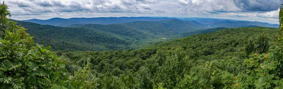 |
This is the 3rd View Point of Huckleberry Valley (Cold Spring Hollow) with the Mill Brook Ridge in the background. Once done, head back to the Dry Brook Ridge Trail. Reverse your route back to your car at the Dry Brook Parking Area. Hope you enjoyed this hike.
|
|
|
S E C T I O N S
|
W E A T H E R
|
O T H E R
|

 Dry Brook Ridge Trail (From Dry Brook PA to View Point #3)