Hike Vinegar Hill Trail from the Upper Parking Area |
 |
| View of Sherill, Balsam, Sleeping Lion, South Vly Mountains |
| |
| |
|
|
|
Maps for Vinegar Hill in the Halcott Wild Forest |
 |
|
|
|
| | Notes About Hiking to Vinegar Hill & from Phoenicia |
|
| | OTHER INFORMATION |
|
| |
Vinegar Hill was acquired by the DEC in the early 1970. Much of the land was acquired by restricted endowment (gift) with the stipulation that it be maintained as a game refuge. Motorized vehicles, camping, hunting and trapping is not allowed, but fishing and hiking is allowed. Approximately 6% of the land is dedicated to grasslands, and is mowed every 1-3 years.
The Vinegar Hill parcel is located in DEC Region 4 in the town of Lexington, NY (Greene County).
The Bicknell's Thrush may be found on this parcel, and is of special interest to some hikers. Both beaver and muskrat can be found in the wetlands near some of the grasslands.
Deer are present on this parcel, and so are ticks. So, caution should be used when hiking through the grasslands. If you do hike through the upper grasslands (meadows), hike along the edges of the meadows where the deer rare go. This will help reduce the risk of ticks getting on you. Make sure to check yourself once you get home. A trail has recently been built to allow people to hike through most of the the parcel with a significantly reduced risk of ticks.
There is an old logging road that runs from the Upper Vinegar Hill Parking Area up to the power lines, and up near the summit of Vinegar Hill. But, please note that the summit of Vinegar Hill is on Private Property. But, the NYS property line is about 100' away from the summit. The Power Lines provide an excellent view point for hikers. It has a 180 degree view from Pine Island Mtn to Bearpen Mtn.
The New York City DEP also has property abutted against this parcel on the north side.
|
|
|
| | Directions to Vinegar Hill Trail Head from Exit 19 (Kingston) |
| | Vinegar Hill Parking Area WGS84 (DEC): 42.24585, -74.406783 - Elevation is approximately 1,855 feet |
| | Vinegar Hill Parking Area Deg/Min/Sec: N42 14 45, W74 24 24 - Elevation is approximately 1,855 feet |
| | Vinegar Hill Parking Area GPS: N 42 14.751, W 74 24.407 - Elevation is approximately 1,855 feet |
| | Vinegar Hill Parking Area UTM: 18N 548939 4677244 - Elevation is approximately 1,855 feet
|
| |
|
| | Get off New York State Thruway at Exit 19 (Kingston). |
| | Take a RIGHT out of the NYS Thruway onto Route 28 West. |
| | Go approximately 27.9 miles on Rt 28 West |
| | Take a RIGHT onto Rt 42 |
| | Go approximately 8.7 miles on Rt 42 |
| | Take a LEFT onto SOUTH Beech Ridge Road |
| | Go approximately 2.3 miles on South Beech Ridge Road |
| | Continue STRAIGHT onto Beech Ridge Road |
| | Go approximately 0.8 miles on Beech Ridge Road |
| | Continue RIGHT on North Beech Ridge Road |
| | go approximately 0.8 miles on NORTH Beech Ridge Road |
| | Take a RIGHT into the UPPER Vinegar Hill Parking Area |
| | The Upper Vinegar Hill Parking Area holds approximately 6 cars |
|
|
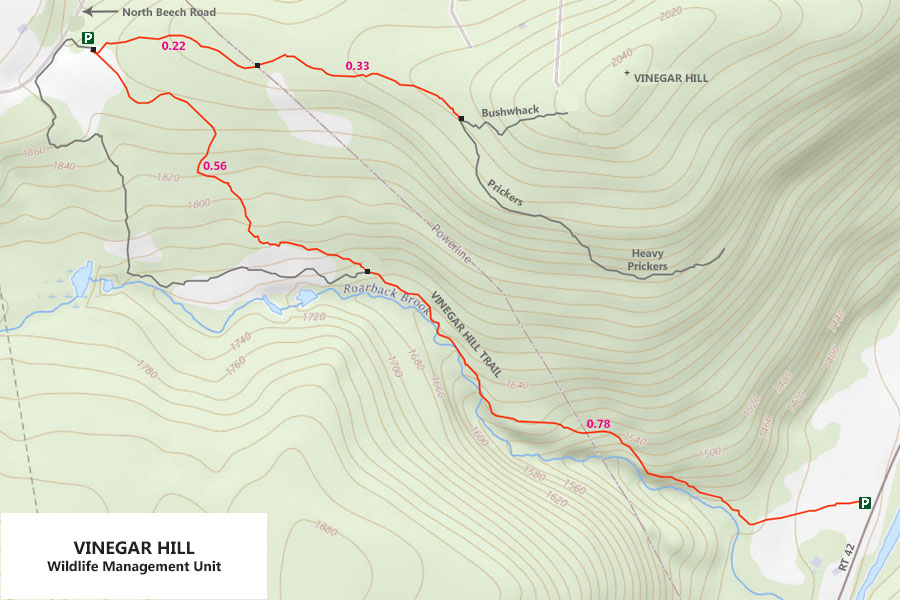
Mileage Chart from Vinegar Hill Parking Area to Vinegar Hill & |
| | Mile Point | Altitude | Notes |
| | 0.00 | 1,869' | Vinegar Hill Parking Area (Yellow Gate - go STRAIGHT) |
| | 0.16 | 1,907' | Cross Stone Wall into overgrown field - Makes numerous 90 turns in field |
| | 0.56 | 1,749' | Trail Junction onto Logging Road into forest - Go LEFT |
| | 1.34 | 1,412' | Lower Vinegar Hill Parking Area (cross field - while turning left) |
|
|
Hike the Vinegar Hill Trail from the UPPER Vinegar Hill Parking Area |
 |
This is the DEC driveway, off North Beech Ridge Road, that goes up to the UPPER Vinegar Hill Trailhead Parking Area. It is about 200' long. This trail is easier to follow from the Upper Trail Head on North Beech Ridge Road. Hikers tend to miss the Trail Junction off the logging road that goes to the Lower Trailhead Parking Area on Rt 42.
|
|
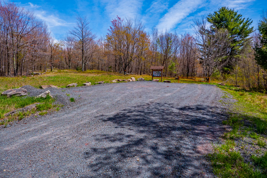 |
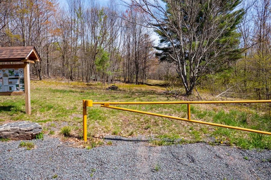
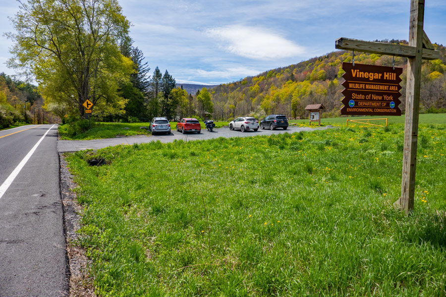
This is the UPPER Vinegar Hill Trailhead Parking Area. There is room for approximately 6 cars. At the end of the Parking Area is a Kiosk, and DEC Yellow gate.
|
|
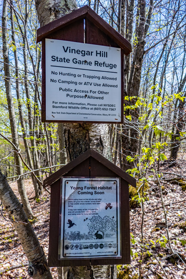 |
This is a WILDLIFE REFUGE! The rules of use are different from Wild Forest or Wilderness regions of New York State Land.
The general rules for the Vinegar Hill Wildlife Refuge is that you cannot hunt, trap, camp, or use motorized vehicles (like an ATV). You may fish or hike anywhere on the parcel.
You may not disturb wildlife, damage plant life, cut trees, or pollute.
|
|
 |
Take note of messages in the Kiosk for this hike. It also has the emergency contact number and other information about the Vinegar Hill Parcel.
To start this hike, walk around the Yellow Gate and proceed to hike straight. The trail runs on the Left side of the conifer tree. The trail is a double-track trail, and is about 5+ feet wide.
|
|
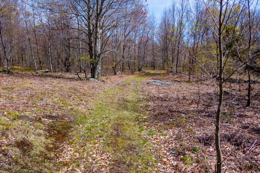 |
Continue to follow the wide trail through the forest until you reach the first field (young forest now). |
|
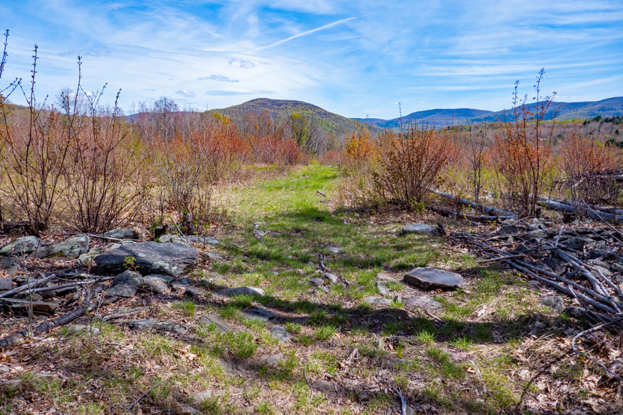 |
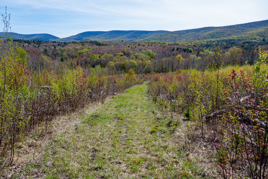
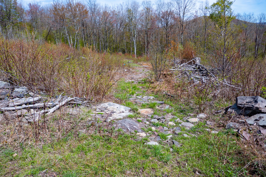
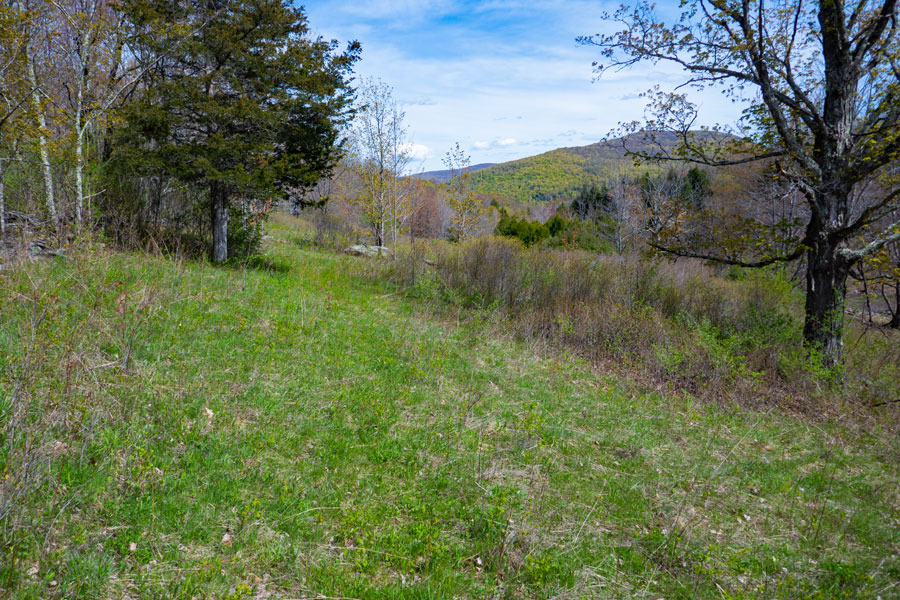
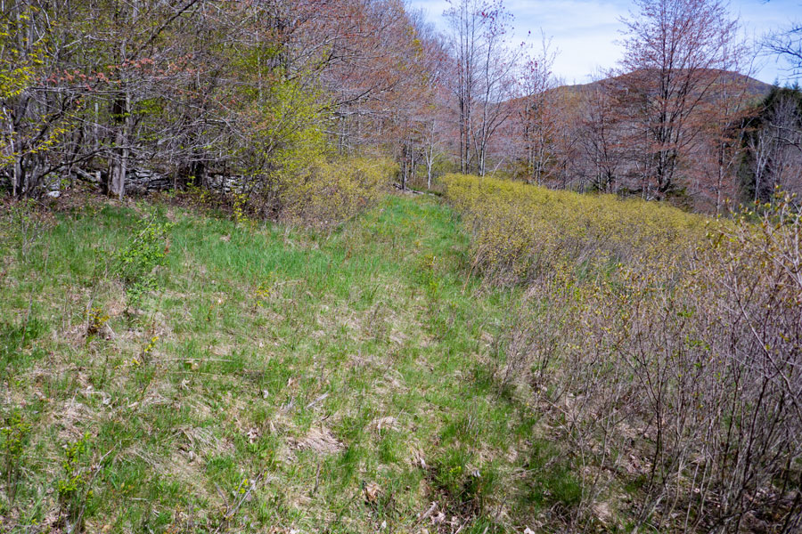
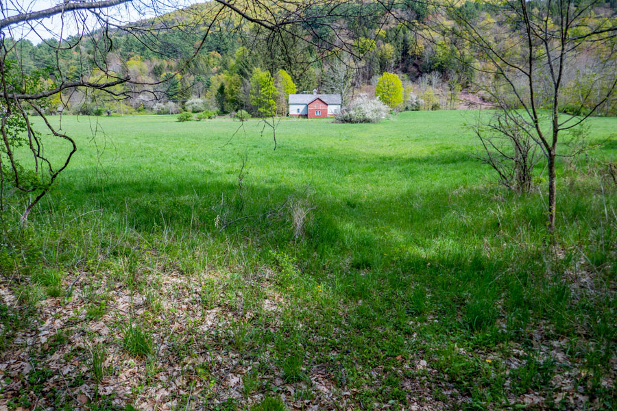
After hiking through the forest about 800' you will come to a rock wall. Beyond the rock wall is a field, which is now a young forest.
On the center-left of the picture is Pine Island Mountain, Then you have Sherrill Mountain, Balsam Mountain, Sleeping Lion Mountain, and South Vly. If you look further to the right (not on photo), you will see Vly Mountain and Bearpen Mountain.
|
|
|
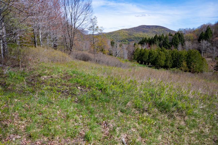
As you walk into the field, the trail will start to head downhill. There will be several 90 degree turns as you head further downhill.
|
|
 |
After you have crossed most of the field, you will take one last 90 degree turn left over a stone wall, and head for the forest.
|
|
 |
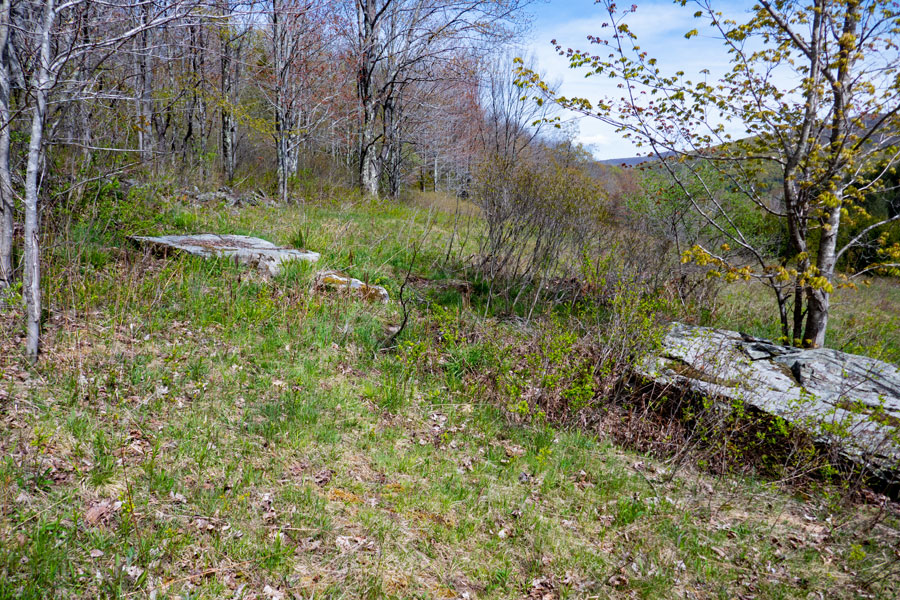
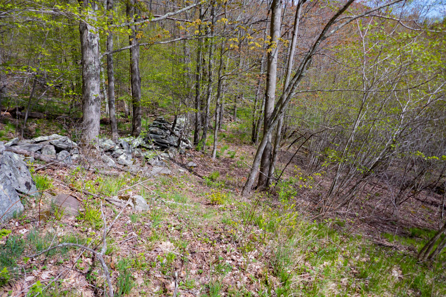
As you come to the edge of the forest, you will cross over another stone wall. Continue straight into the forest. The trail through the forest will become a little windy. Just stay on the trail.
|
|
 |
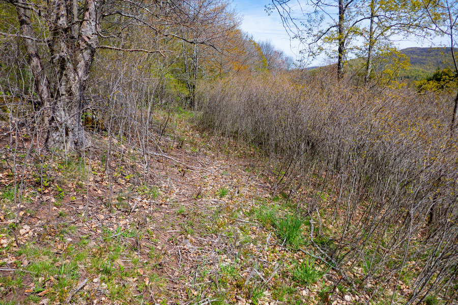
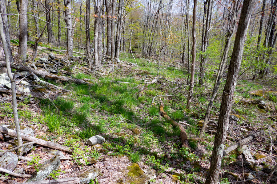
The trail will continue to wind through the forest. After a short distance you will see some grassland ahead. Continue towards the grassland.
|
|
 |
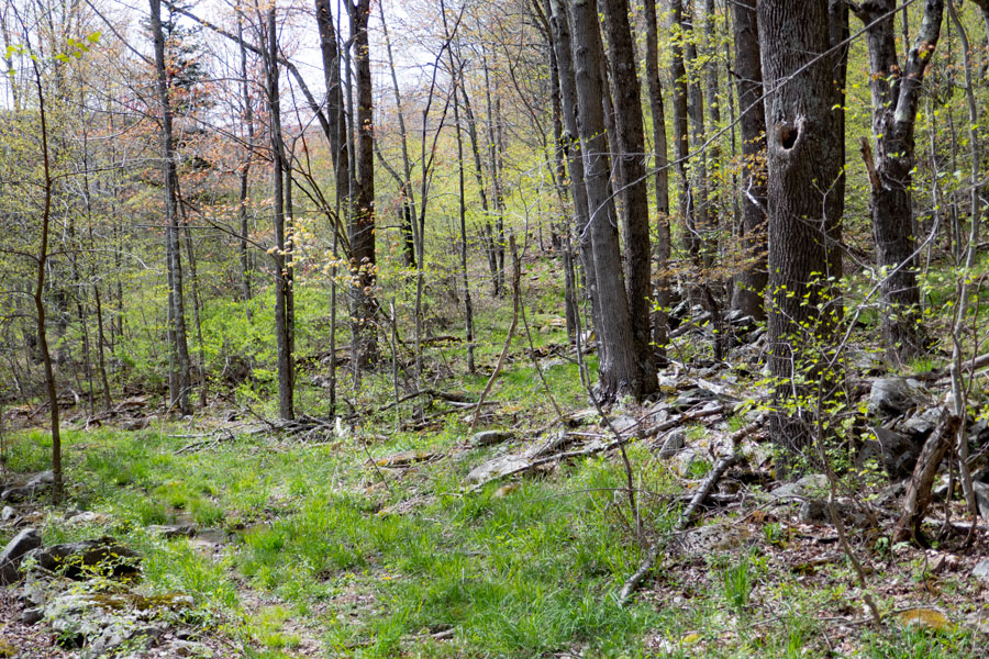
As you come to the edge of the grassland from the windy forest trail, you will come across another stone wall. As you pass into the grassland, you want to take a 90 degree turn to the LEFT. For the entire section of grassland, you will hike next to the stone wall on the left.
|
|
 |
Continue to go straight across the top of the grassland, while having the forest edge and stone wall on your left.
|
|
 |
Continue to go straight across the top of the grassland, while having the forest edge and stone wall on your left. Hike across the rock on the left side of the image above.
|
|
 |
Continue to go straight across the top of the grassland, while having the forest edge and stone wall on your left. Head towards the thick brush in the center of the phone. The trail continues on the left side of the thick brush, and next to the tree.
|
|
 |
Continue to go straight across the top of the grassland, while having the forest edge and stone wall on your left. As you approach the thick brush, you will see where the trail cuts through the brush and next to the tree.
|
|
 |
Continue to go straight across the top of the grassland, while having the forest edge and stone wall on your left.
|
|
 |
Continue parallel to the stone wall on your left as you enter the forest. The trail will get a little rough. In a short distance, you will encounter the Trail Junction for the old logging road.
|
|
 |
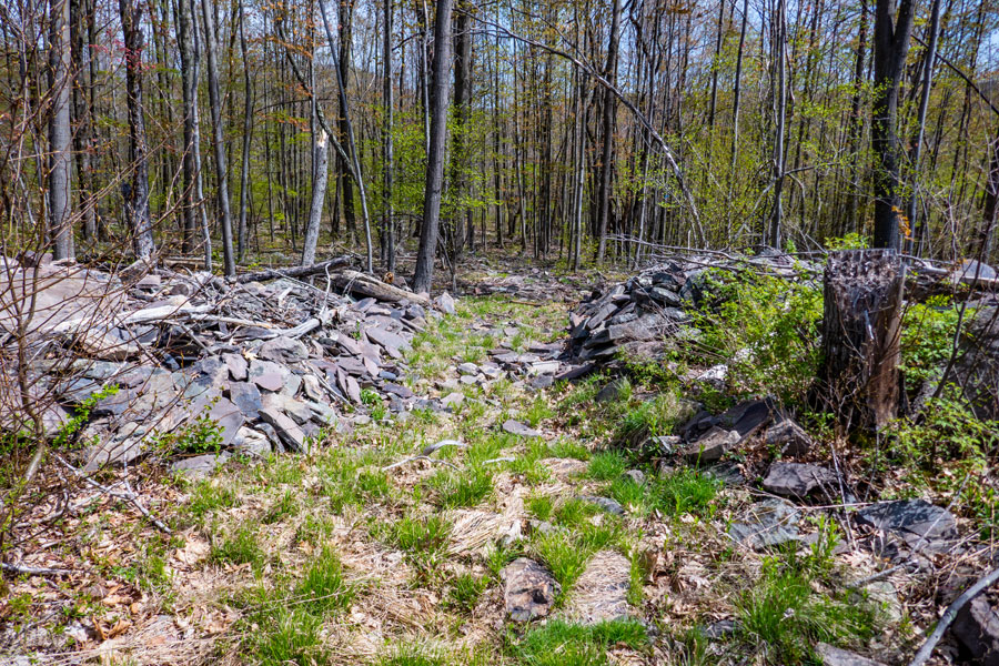
After a short distance, you will encounter the old logging road. By this time, the Vinegar Hill Trail is a little rough. When you come to the Trail Junction, turn LEFT. If you look at the image you can see the grassy logging road.
|
|
 |
This image is looking backwards after you are on the logging road.
If you look on the upper right side of the photo, you will see a tree hollow. Remember this point when you return back to your car. The entrance to the trail is very hard to see, and sometimes hikers go left here, instead of going RIGHT after the tree hollow.
Maybe in the future there may be trail markers and signs.
|
|
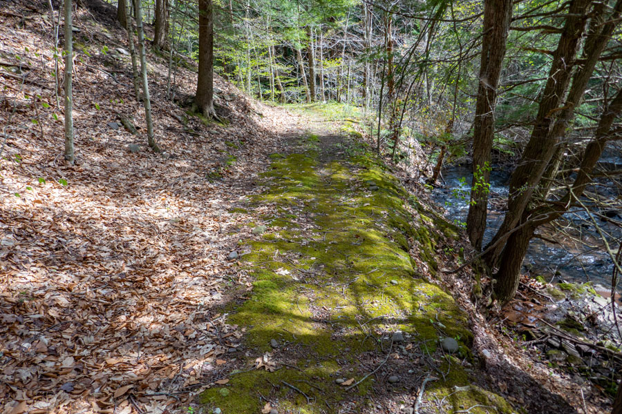 |
As you head down the old logging road (part of the Vinegar Hill Trail), the trail is very easy to follow. Some sections are moss covered with the Roarback Brook on the right side of you.
|
|
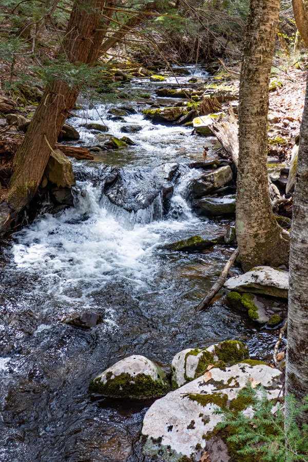 |
The Vinegar Hill Trail also runs right next to the Roarback Brook. After a large rain storm the Roarback Brook turns into a roaring monster. But, most of the year it is quite pleasant to hike next to.
. |
|
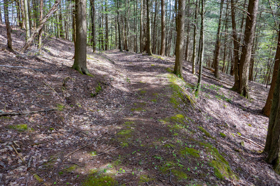 |
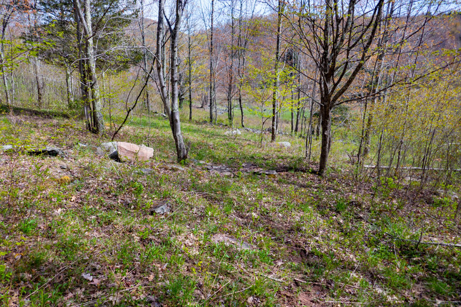
The Vinegar Hill Trail then pulls little ways away from the Roarback Brook along this nice old logging road. The trail will continue to decline in elevation at a very gradual pace.
|
|
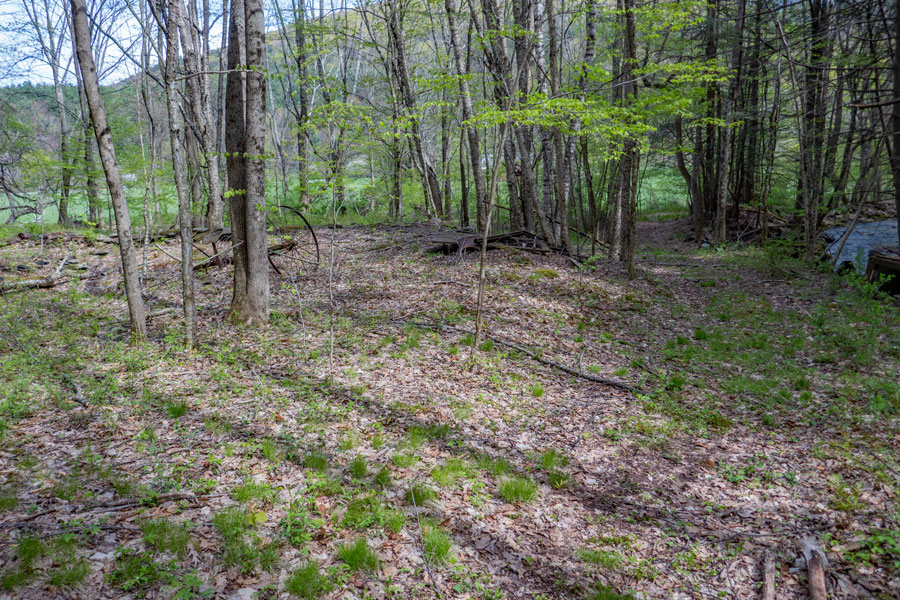 |
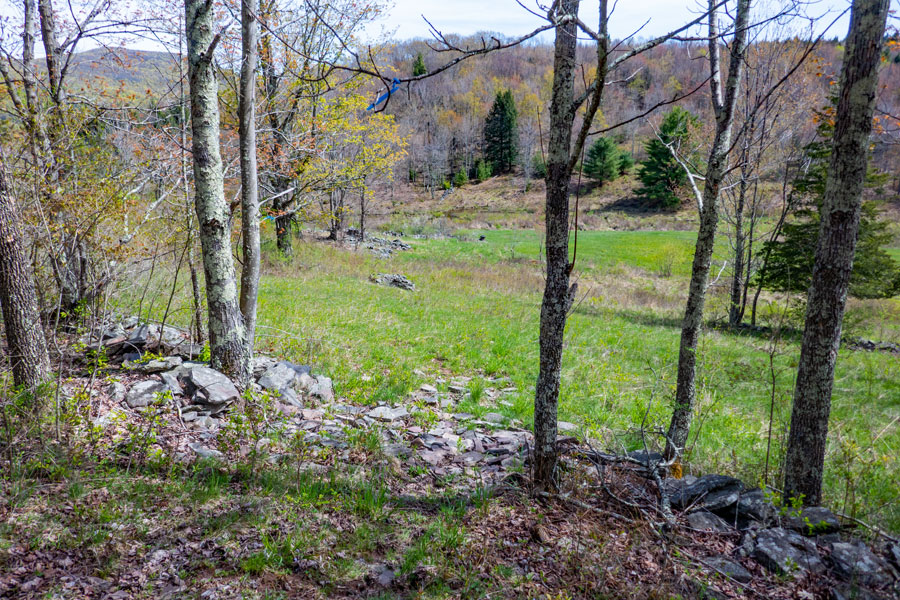
In the near distance you can see another grassland meadow. Continue to follow the old logging road to the meadow. If you look on the far right, you can see the Roarback Brook next to the trail again.
There is a significant amount of old cars and farm equipment that has been abandon here.
|
|
 |
As you come out of the forest into the grassland meadow, you want to start turning left about 30-45 degrees and hike across the meadow.
|
|
 |
As you walk across the grassy meadow, you want to head towards the Lower Vinegar Hill Parking Area. If you look at the left side of the image, you will see a flowering tree. The flowering tree is next to the Lower Vinegar Hill Parking Area.
|
|
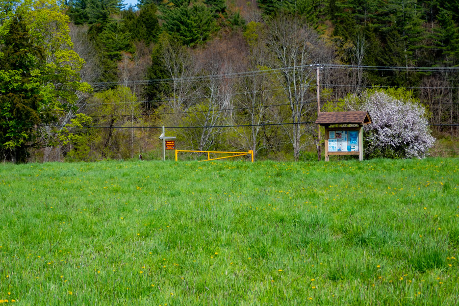 |
As you get closer, you will see the DEC Kiosk and the iconic Yellow DEC gate. That is the Lower Vinegar Hill Parking Area and Trail Head.
|
|
 |
This is the Lower Vinegar Hill Parking Area and Trailhead. It holds about 5 cars. It is located directly on Rt 42 and on the north side of Westkill, NY and south of Lexington, NY. Once you are done, you can hike back the same way you came. Hope you enjoyed this hike.
|
|
|
S E C T I O N S
|
W E A T H E R
|
O T H E R
|
|
Copyright 1994-2024 www.catskillmountaineer.com
ALL RIGHTS RESERVED
|