Hunter Mountain via Becker Hollow |
 |
| |
| |
|
OVERVIEW |
| | Trail Name: | Becker Hollow Trail
 (Rt 214 to Hunter Mtn Spur Trail)
 |
| | Trail Name: | Hunter Mountain Spur Trail
 (Becker Hollow Trail to Hunter Mtn Fire Tower)
 |
| | Trail Name: | Spruceton Trail
(Hunter Mtn Fire Tower to Spruceton Valley Lookout Trail) |
| | Trail Name: | Becker Hollow Trail
(Spruceton Valley Lookout Trail to Rt 214) |
| | | |
| | Distance: | 5.40 miles from the DEC Parking Lot on Rt 214. |
| | Time: | Average 3.50 hours round trip |
| | Elevation Gain: | 2,219 feet from the DEC Parking Lot and the summit. |
| | Best Time to Hike: | Morning. |
| | Difficulty: | Difficult |
| | Summit Elevation: | 4,046' |
| | Access Methods: | Foot and snowshoe |
| | | |
| | USGS Official Names: | Hunter Mountain (ID: 973354) |
| | USGS Past Names: | Greenland Mountain |
| | USGS Summit-Elevation: | 4,045' (USGS) |
| | USGS Fire-Tower-Elevation: | 4,026' (USGS) |
| | USGS Hunter-Summit-WGS84: | 42.1778662, -74.2304216 (DEC-WGS84) |
| | USGS Hunter-Summit-GPS: | N 42 10.672 W 74 13.825 (GPS) |
| | USGS Hunter-Summit-UTM: | 18N 563557 4669811 (UTM) |
| | USGS Hunter-Summit-Deg, Min, Sec: | N42 10 40 W74 13 49 (Degree, Min, Sec) |
| | USGS Official Map: | Hunter Topographical Map (free) |
| | | |
| | USGS Official Map: | Hunter Topographical Map (free) |
| | |
| | | USGS Official Map: | Lexington Topographical Map (free) |
| | |
| | | DEC Trail Map: | DEC Hunter-Westkill Wilderness Map (free) |
| | | |
| | Digital Mapper: |
Topo
Terrain
Satellite |
|
|
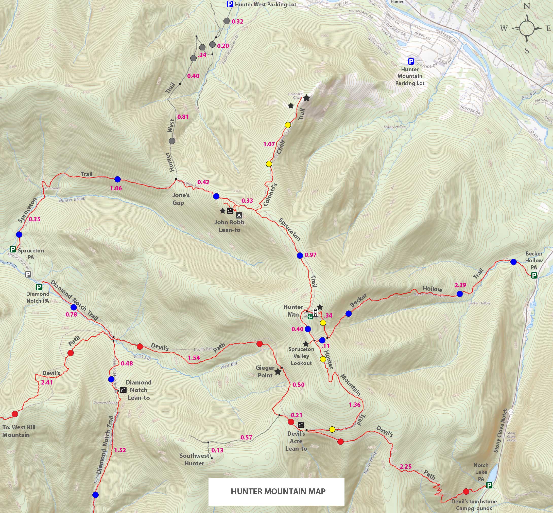
Maps & Profile |
|
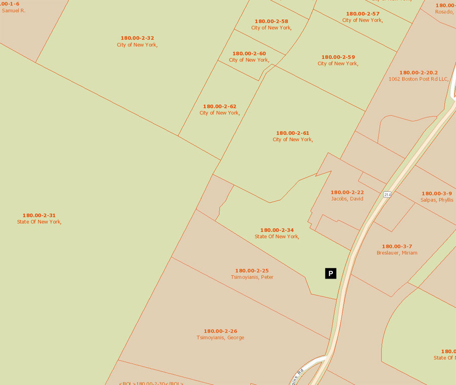
Public & Private Land Ownership near Rt 214 DEC Parking Area
Red=Private Land
Green=Public Land (DEC, DEP, NYS Parks, etc) |
|
|
| | DIRECTIONS TO TRAIL HEAD |
| | DEC Parking Lot WGS84 (DEC): 42.18185,-74.19695 - Elevation is approximately 1,827 feet |
| | DEC Parking Lot Deg/Min/Sec: N42 10 54, W74 11 49 - Elevation is approximately 1,827 feet |
| | DEC Parking Lot GPS: N42 10.911 W74 11.817 - Elevation is approximately 1,827 feet |
| | DEC Parking Lot UTM: 18N 566317, 4670279 - Elevation is approximately 1,827 feet |
| | |
| | Take New York State Thruway to Exit 21 (Catskill). |
| | Take a left out of the NYS Thruway entrance road. |
| | Go approximately 3/4 mile |
| | Take a right onto Route 23 West |
| | Go approximately 6.6 miles to Cairo, NY |
| | Take a LEFT onto Rt 32. McDonalds Rest. on corner. |
| | Go approximately 7.7 miles on Rt 32 |
| | Take a RIGHT onto Rt 23A |
| | Go appoximately 11 miles to the intersection of Rt 23a and Rt 214. |
| | Go approximately 1 mile - DEC Parking Lot (dirt) on the RIGHT side of road. (1/2 mile past Ski Bowl Road) |
| | The dirt DEC parking lot holds 10-15 cars. |
|
|
Notes about hiking the Hunter Loop Trail |
There are five routes to get to the summit of Hunter Mountain. This route is the most difficult, but also the shortest. It provides great views from Hunter Mountain Fire Tower and the Spruceton Valley Lookout. Many also like to picnic at the Hunter Mountain Fire Tower. There is a Ranger Station at the top of Hunter Mountain, but it is rarely open to the public.
The Becker Hollow Route starts out flat and easy, and slowly gets steeper as you ascend in elevation. This hike is less populated with hikers then the Spruceton Trail route, and some hikers like the solitude.
Near the top there is a spur trail to the Hunter Mountain Fire Tower (Yellow Trail Markers). Most hikes coming up the trail prefer to take the spur trail. On the return trip back to their car, they like to take the Spruceton Trail to the Spruceton Valley Lookout before descending down the Becker Hollow Trail.
The water source at the beginning of the trail. There is also a water source on the Spur Trail to the Hunter Mountain Fire Tower. |
|
|
MILEAGE CHART |
| | Mile Point | Altitude | Notes |
| | 0.00 | 1,792 | DEC Parking Lot - Registration Box is at the Parking Lot |
| | 0.26 | 1,864 | Wooden Bridge over creek |
| | 0.45 | 1,919' | Broken Dam. |
| | 2.25 | 3,540' | 3,500 Sign. |
| | 2.39 | 3,800 | Trail Junction - go RIGHT |
| | 2.45 | 3,794 | Water Source - Pipe sticking out of ground |
| | 2.73 | 4,024 | Summit of Hunter Mountain & Fire Tower. |
| | 3.22 | 4,015 | Trail Junction (4-corner) - Go RIGHT |
| | 3.26 | 4,006 | Beautiful Ledge looking over Spruceton Valley |
| | 3.30 | 4,015 | Return back to 4-corner Trail Junction. |
| | 3.41 | 3,812 | Return back to Trail Junction for summit loop |
| | 5.40 | 1,792 | DEC Parking lot where your car is parked. |
|
|
Hike to Hunter Mountain via Becker Hollow from Rt 214 |
 |
 |
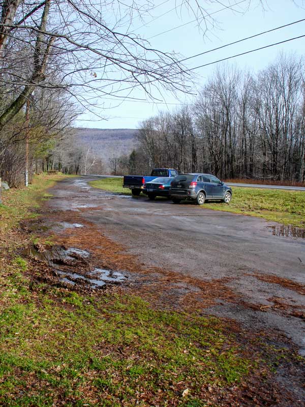
The picture on the left is the DEC Parking lot at the trail head. This parking lot is right next to Rt 214. This parking lot is dirt with some pretty good pot holes. There is another asphalt DEC parking lot at Stony Clove (Pay Parking), which is for a different hike to Hunter Mountain. The Stoney Clove Parking Area is fairly large.
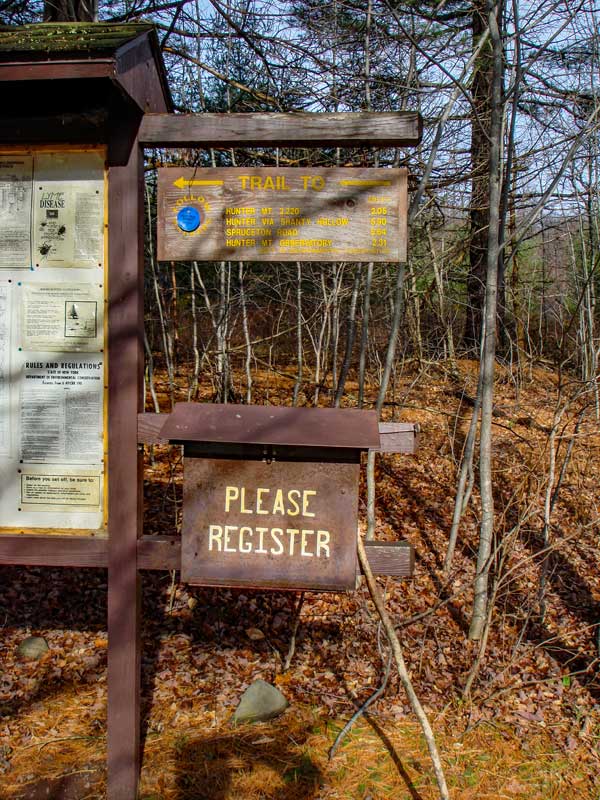
The trailhead is right next to the parking lot. The Registration Box is at the edge of the Parking Lot. Make sure that you register. |
|
 |
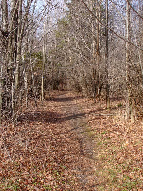 |
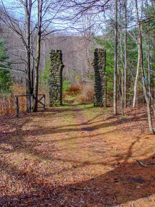
The Rock Arch Post are about 50 feet from the parking lot. You can see them in the picture on the LEFT.
The picture on the right shows you what the trail looks like in the beginning of the hike. In the beginning, the trail is virtually flat for the first 1/2 mile. |
|
 |
 |
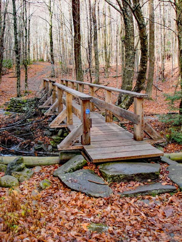
At mile post 0.26 you will cross this wooden bridge over Becker Hollow Creek.
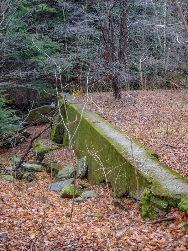
At mile post 0.45, you will come upon an old broken concrete dam. The dam failed because of poor engineering and installation. The concrete was poured in stages, which created cold joints which will fail when pressure is applied. Additionally, they put in too many large rocks. |
|
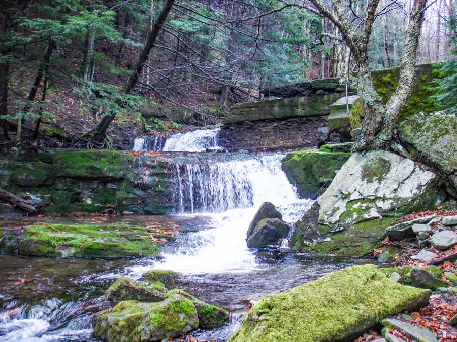 |
The picture on the left shows the Falls after the broken dam. It has a nice water fall after the broken section of the dam.
|
|
 |
 |
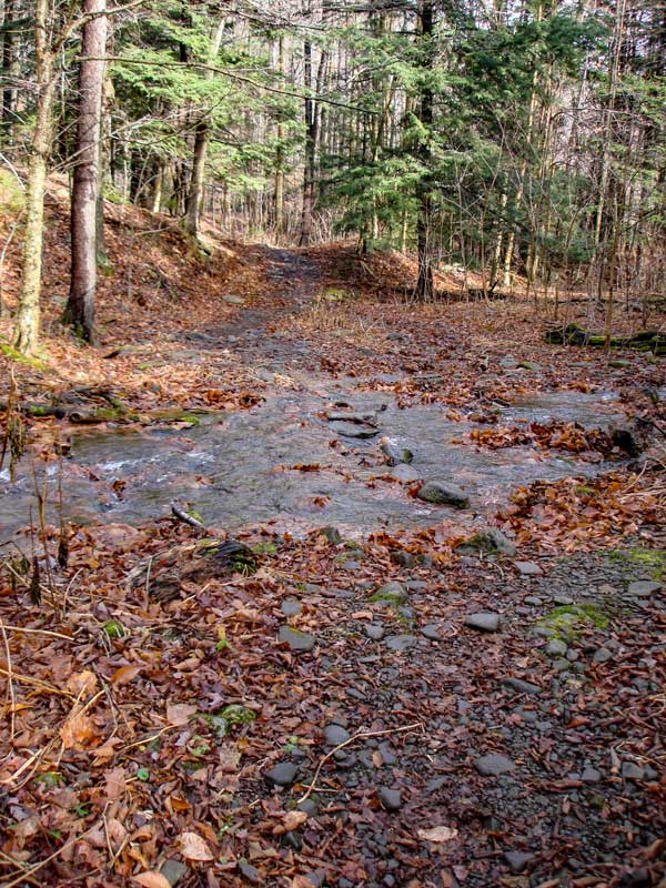
After the Falls/Dam you might encounter this small stream running over the trail. This Storm Water Stream only occurs after a rain storm. If there was a very large rain storm, this stream might become impassible.
After the dam, the grade will become moderate. The grade is steady and never seems to level off. The grade will also increase slightly over time. |
|
 |
 |
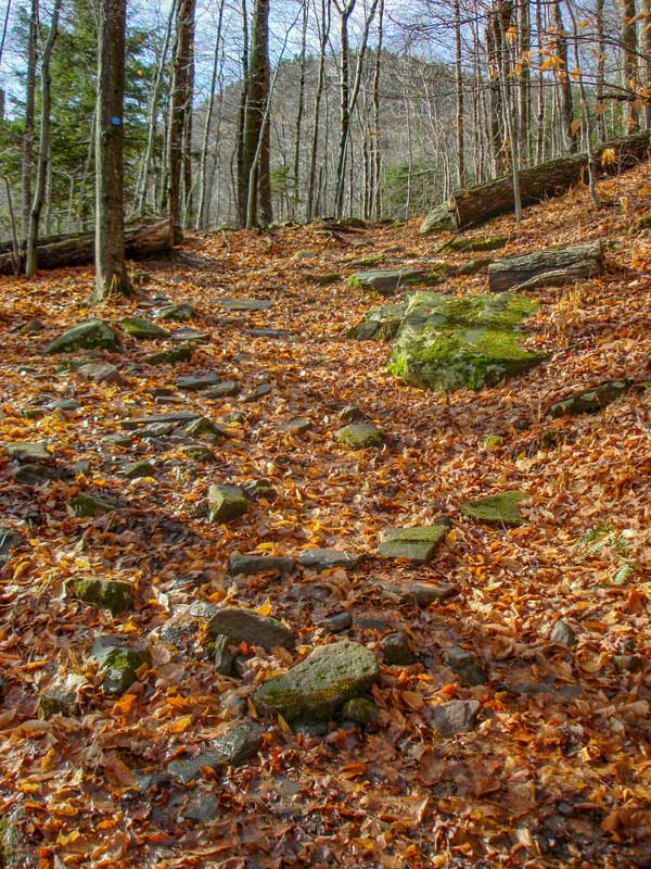
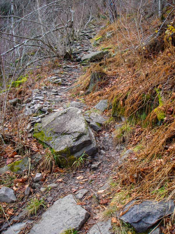
At approximately 3200 feet, the trail will change direction and start to cross Becker Hollow. The grade will increase and will become more narrow. In the Winter it would become dangerous and difficult to cross. It appears that some small avalanches might occur here..
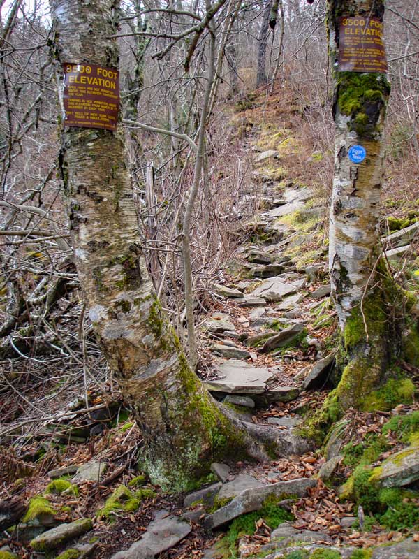
At mile post 2.25 miles (elev 3,540') you will see two 3500 signs telling you that you cannot camp above this point (except in the Winter). |
|
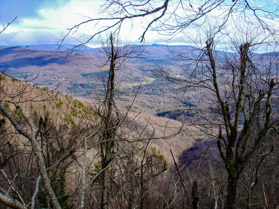 |
As you are crossing Becker Hollow, you can get a good view when the leaves are not on the trees. |
|
 |
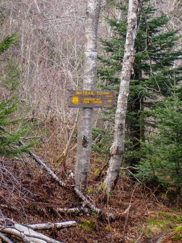 |
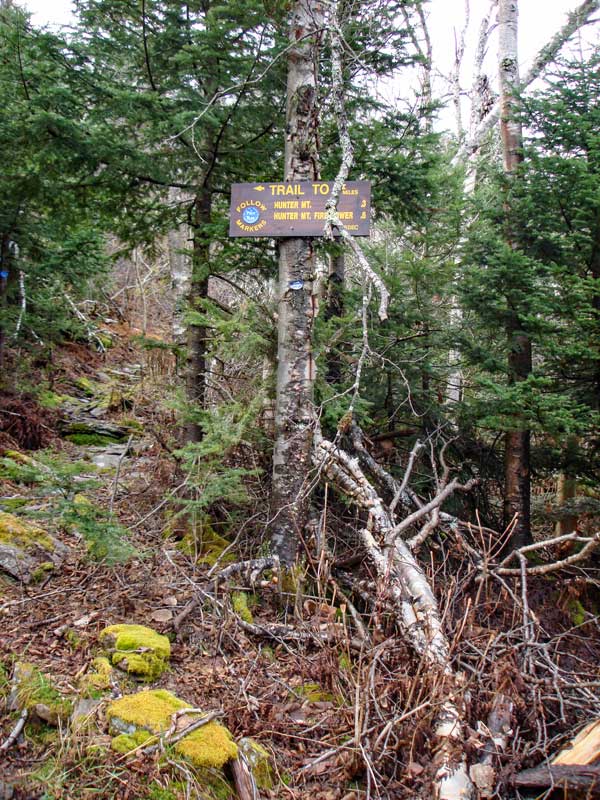
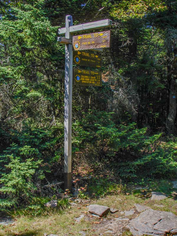
At mile post 2.39 (elev 3800') you will come to a Trail Junction. This trail junction is loop trail around the summit of Hunter Mountain. If you continue straight, the trail will become steeper. If you go RIGHT, you will take a very nice trail to the Fire Tower. I suggest that you go RIGHT. The trail is easier also. There are two signs at this Trail Junction. |
|
 |
 |
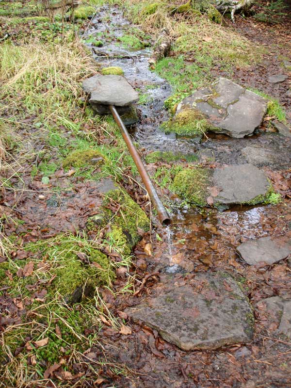
At mile post 2.45 miles (elev 3784') you will find a water source. Not sure how safe the source is. It seems to pull water out of the standing water pool.
The picture on the RIGHT shows the nice Hunter Mtn summit loop trail |
|
 |
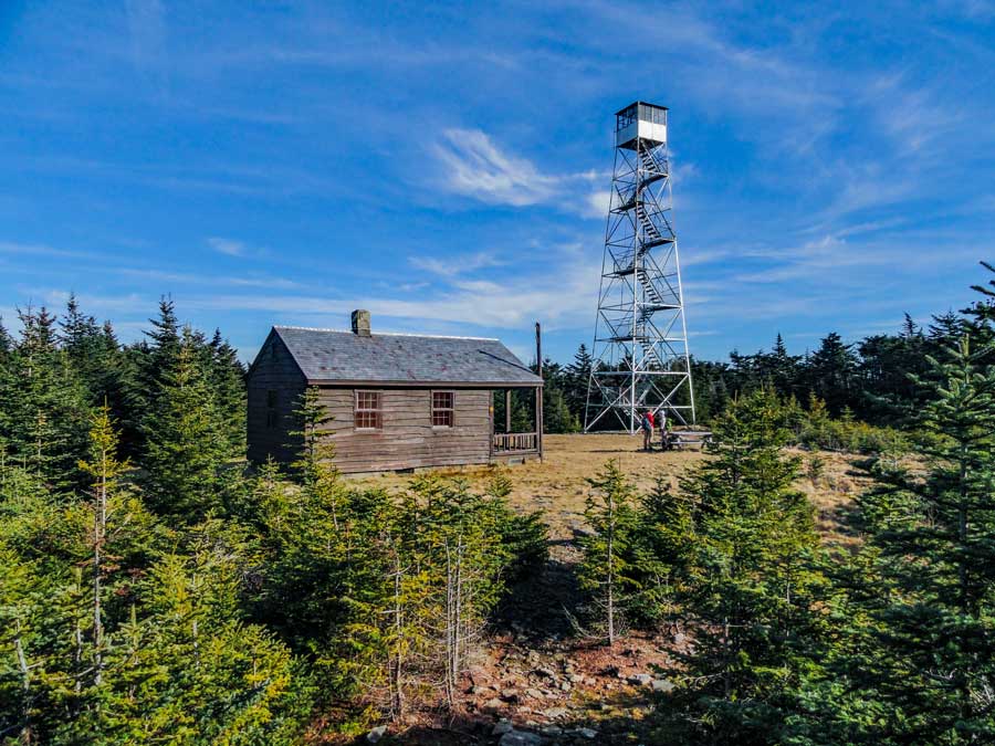
This is the summit of Hunter Mountain Fire Tower and Ranger station. The Fire Tower actually sits a little below the the actual summit. The Becker Hollow Trail comes out on the other side if the Fire Tower.
|
|
 |
 |
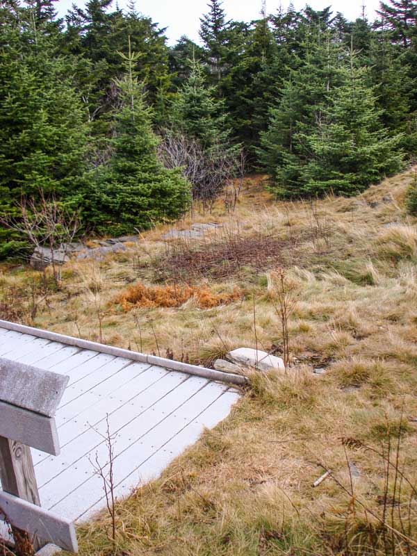
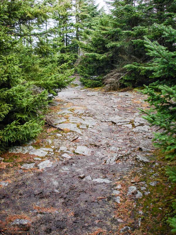
The picture on the left shows the trail past the fire tower.
The picture on the right shows the next trail junction. It is about 4/10 of a mile from the Hunter Fire Tower. It is a 4-way intersection. Left will take you down to Becker Hollow (most difficult access to Hunter Mtn). Right will take you to a ledge with an excellent view of the Spruceton Valley. I strongly recommend that you check out the view. It is the best view of the hike. Continuing straight will continue you along the Hunter Loop Trail. First we will check out the ledge, so go RIGHT.
|
|
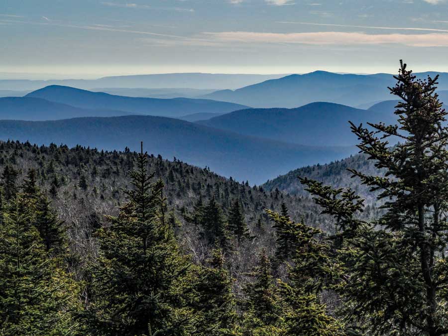 |
This a picture looking south from the Spruceton Valley Lookout. |
|
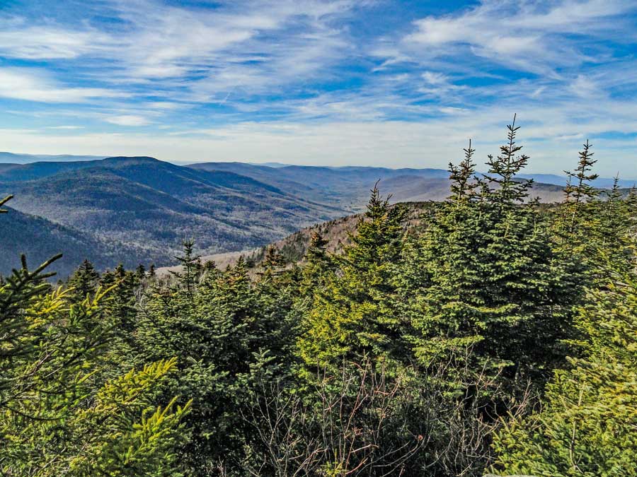 |
This picture is look up the Spruceton Valley. |
|
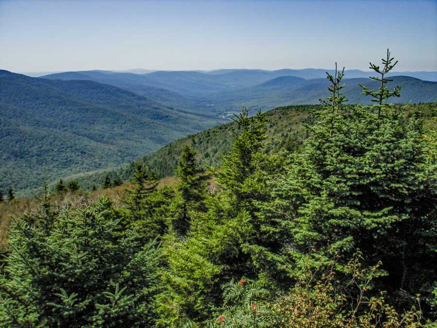 |
This picture is slightly different then the previous picture. |
|
 |
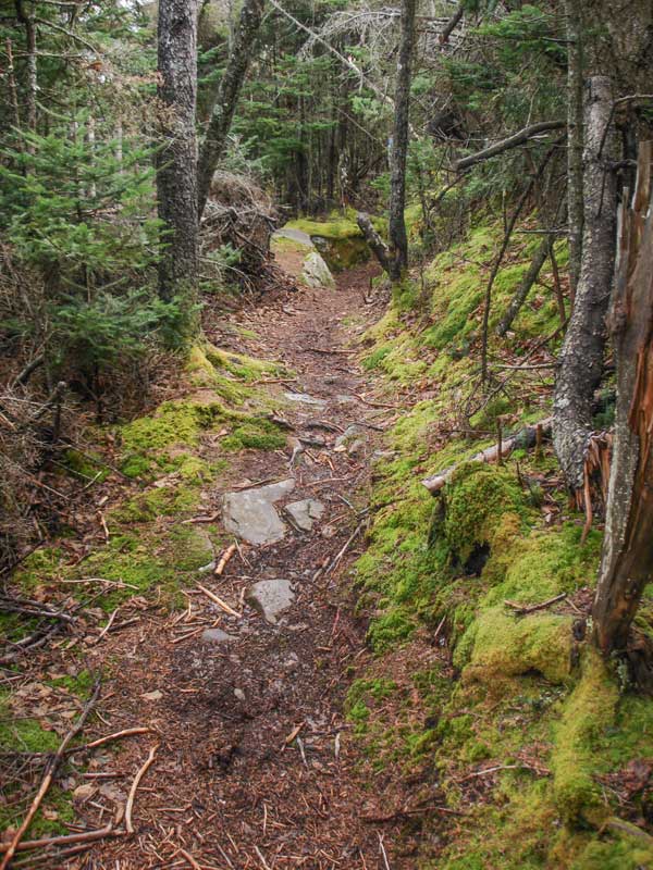 |
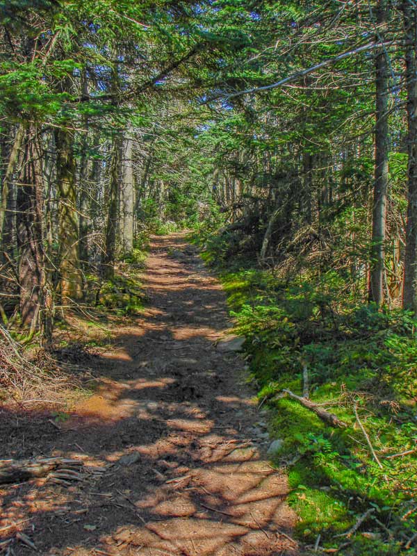
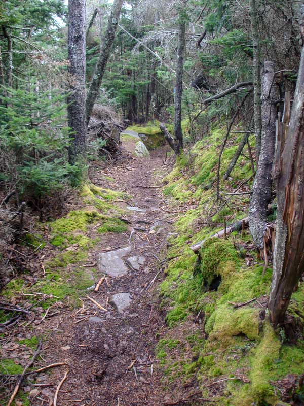
The picture on the left shows the trail at the 4-way Trail Junction. Walk STRAIGHT across the trail junction.
The picture on the right shows what the trail looks like. |
|
 |
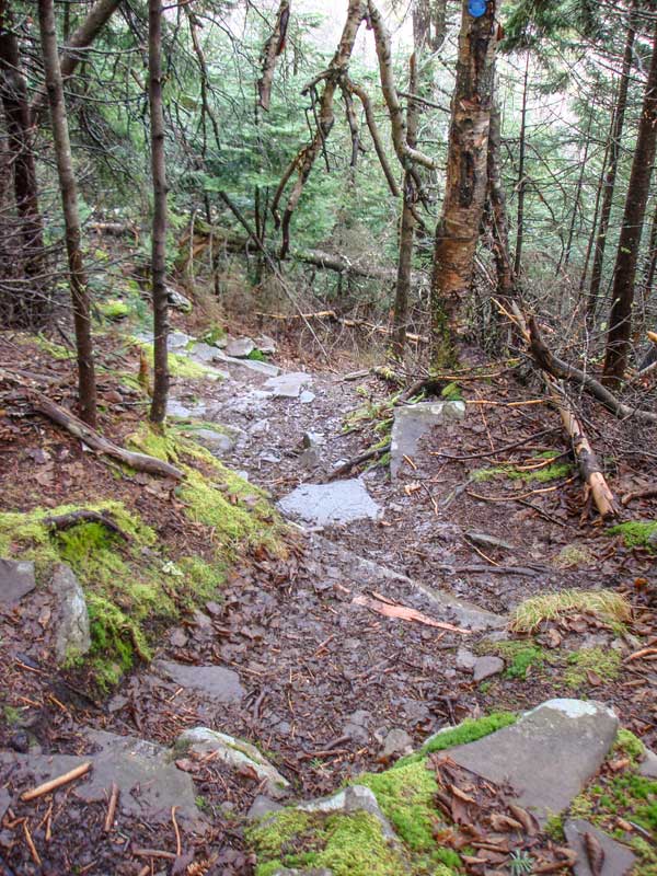 |
It gets difficult down to the trail junction for the Summit Loop trail.
The picture on the right your return back to the beginning of the Summit Trail Loop. Continue STRAIGHT down the trail back to your car. |
|
|
|
Make sure that you check-out at the registration box before you leave.
Hope that you enjoyed this hike up to the summit of Hunter Mountain and the Hunter Mountain Fire Tower. |
|
|
S E C T I O N S
|
W E A T H E R
|
O T H E R
|
|
Copyright 1994-2024 www.catskillmountaineer.com
ALL RIGHTS RESERVED
|