Hike to St Anne and West Kill Mountains from West Hunter |
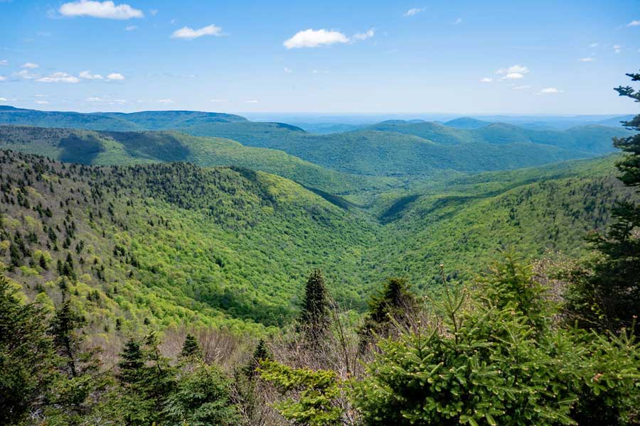 |
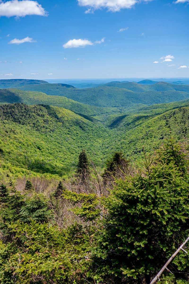
| View from Buck Ridge Lookout near the summit of West Kill Mountain |
| |
| |
|
OVERVIEW |
| | Trail Name: | Devil's Path
 (West Hunter PA to St Anne & West Kill Mountains)
 |
| | Parking Area : | West Hunter Parking Area on Spruceton Road West Kill |
| | Winter Access: | Parking Area is Plowed in the Winter |
| | Camp sites: | No Camp Site locations |
| | | |
| | | Trail Length: | 4.69 miles (one-way) or 9.39 (round-trip) |
| | Trail Type: | Single-track trail |
| | Hiking Time: | Average 6-7 hours round trip |
| | St Anne Elevation: | 3,421' (A) |
| | West Kill Elevation: | 3,897' (A) |
| | Elevation Gain: | Gain of 2,077 feet |
| | Views : | 1 view spot |
| | Difficulty: | difficult |
| | |
| | | St Anne Mtn Summit: | 42.17138, -74.32065 (DEC-WGS84) |
| | St Anne Mtn Summit: | N 42 10 17, W 74 19 14 (Degree, Min, Sec) |
| | St Anne Mtn Summit: | N 42 10.283, W 74 19.239 (GPS) |
| | St Anne Mtn Summit: | 18T 556111 4669028 (UTM) |
| | | |
| | | West Kill Mtn Summit: | 42.16805, -74.28943 (DEC-WGS84) |
| | West Kill Mtn Summit: | N 42 10 05, W 74 17 22 (Degree, Min, Sec) |
| | West Kill Mtn Summit: | N42 10.083 W74 17.366 (GPS) |
| | West Kill Mtn Summit: | 18T 558693 4668679 (UTM) |
| | | |
| | | USGS Map: | USGS Lexington Quad Maps |
| | | |
| | | DEC Trail Map: | DEC Hunter-West Kill Wilderness Map (free) |
| | | |
| | | Digital Mapper: |
Topo
Terrain
Satellite |
|
|
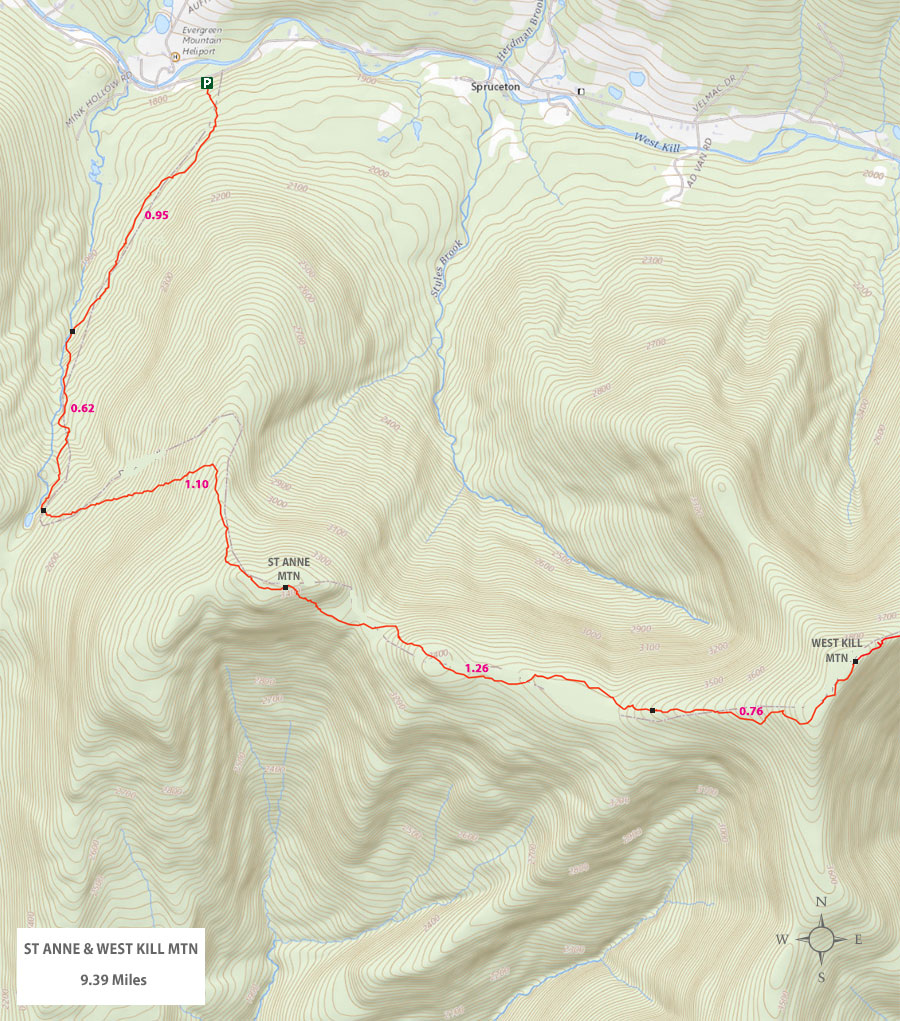
Maps for St Anne and West Kill Mountain |
 |
|
|
|
| | NOTES |
|
| | NOTES about this Hike |
|
| |
Water can be a significant issue on this hike. So, if you need to obtain water for this hike, you should get it from the Mink Hollow Stream that is located about 1 mile from the trail head. Do NOT rely on the Spring up near the summit of West Kill Mountain.
Some believe that this is the easy way up West Kill Mountain. Some believe that the maps make it look easy. It is not easy. Both routes from the east or west are difficult. This route is hiked significantly less then the easterly route up West Kill Mountain. The path is well defined and there are Trail Markers in the correct locations. But, in the Winter months it may be harder to follow.
The summit of St Anne Mountain is rather boring. There are no views. But, it is still a nice hike.
The view from West Kill Mountain is one of the best views in the Catskill Mountains. If you decided to hike West Kill Mountain, make sure you pick a day where it will be clear. The view is exceptional on a clear day.
|
|
|
| | Directions to West Hunter PA from Exit 19 (Kingston) |
| | St Anne Mountain Parking Area WGS84 (DEC): 42.19188, -74.32490 - Elevation is approximately 1,820 feet |
| | St Anne Mountain Parking Area Deg/Min/Sec: N 42 11 31, W 74 19 30 - Elevation is approximately 1,820 feet |
| | St Anne Mountain Parking Area GPS: N42 11.513, W74 19.494 - Elevation is approximately 1,820 feet |
| | St Anne Mountain Parking Area UTM: 18T 555742 4671302 - Elevation is approximately 1,820 feet
|
| |
|
| | Get off New York State Thruway at Exit 19 (Kingston). |
| | Take a RIGHT out of the NYS Thruway onto Route 28 West. |
| | Go approximately 27.7 miles on Rt 28 West |
| | Take a RIGHT onto Rt 42 |
| | Go approximately 7 miles on Rt 7 |
| | Take a RIGHT onto Spruceton Road |
| | Go approximately 3.7 miles on Spruceton Road |
| | Take a RIGHT into the DEC Hunter-West Kill Parking Area - Holds 8 cars |
|
|
Mileage Chart from West Hunter PA to West Kill Mountain |
| | Mile Point | Altitude | Notes |
| | 0.00 | 1,820' | West Hunter Parking Area |
| | 0.08 | 1,873' | DEC Registration Box |
| | 0.95 | 2,012' | Trail meets Mink Hollow Stream |
| | 1.57 | 2,450' | Trail Junction - Mink Hollow - St Anne Mountain |
| | 2.67 | 3,421' | St Anne Mountain (summit is 50' off trail) |
| | 3.93 | 3,501' | 3,500 elevation mark for camping limit |
| | 4.31 | 3,737' | Very poor Spring for water - usually dry |
| | 4.69 | 3,897' | West Kill Summit |
| | | | ( Excellent View Spot a short distance beyond summit ) |
|
|
Hike to St Anne and West Kill Mountains |
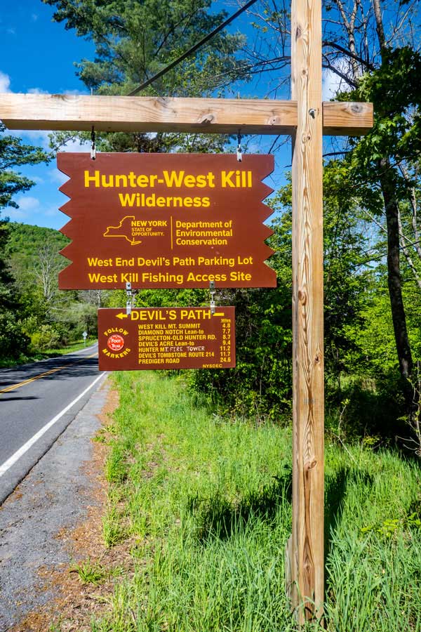 |
As you are driving up Spruceton Road, you will see a small parking area on the right, and this DEC sign will be on the left side of the road. When you see this sign, pull into the parking area on the other side of the road.
This is also the starting point (or, ending point) for the Devil's Path. The entire length of the Devil's Path is 24.6 miles long. It goes over St Anne, West Kill, Southwest Hunter, Plateau, Sugarloaf, Twin, and Indian head Mountain. Some of these mountains are quite difficult.
This parking area also provides access to North Dome Mountain, as well as, fishing access to local streams and creeks.
|
|
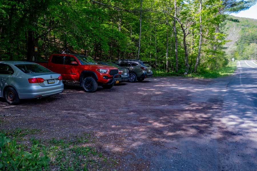 |
This is the DEC West Hunter Parking Area. It holds about 8 cars. This Parking Area can become full, so park your car appropriately so that others can also use the parking area. The Trail Head is in the middle of the parking area, and goes up the hill.
|
|
 |
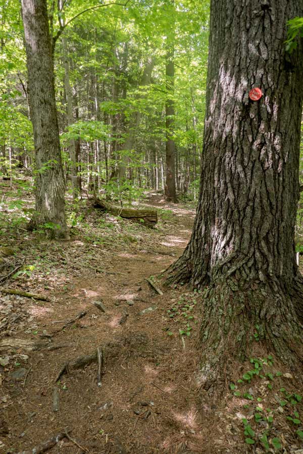
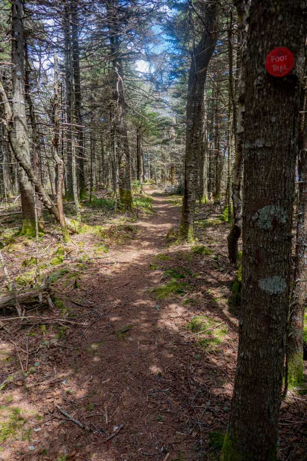
This is the Trail Head for the hike to St Anne Mountain and West Kill Mountain. It is located in the middle of the parking area. The entire hike to St Anne Mountain and West Kill Mountain will have RED DEC Trail Markers. The beginning of the Trail Head will start to climb up the hill at a moderate incline.
. |
|
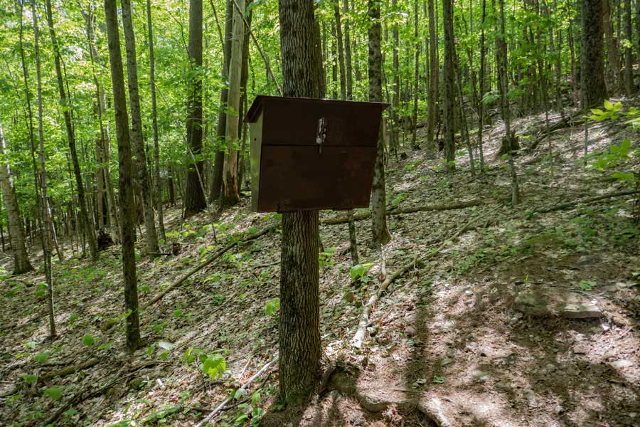 |
After hiking up the hill for 400-500 feet, you will encounter the DEC Registration Box. Please stop and register your hike here. If you are lost or injured, this information could be important to finding you. The DEC also allocates funds for this trail based upon how many people register for the hike.
|
|
 |
 |
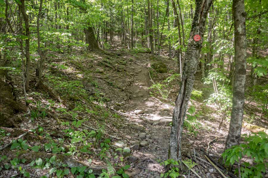
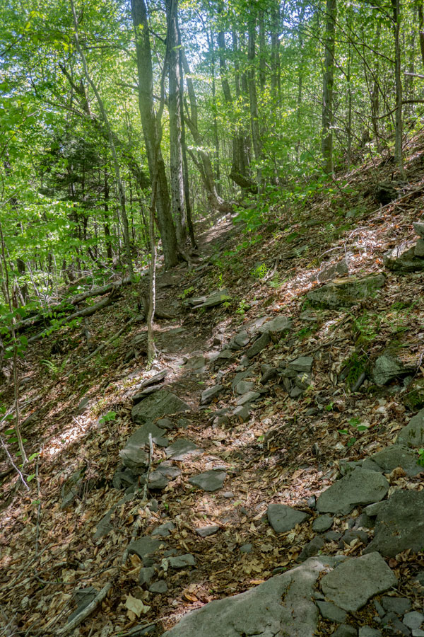
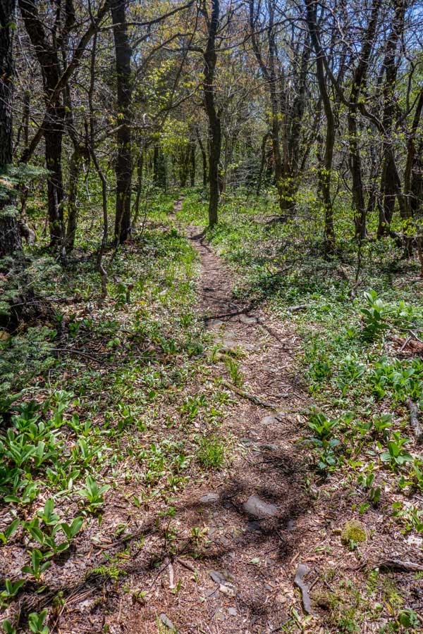
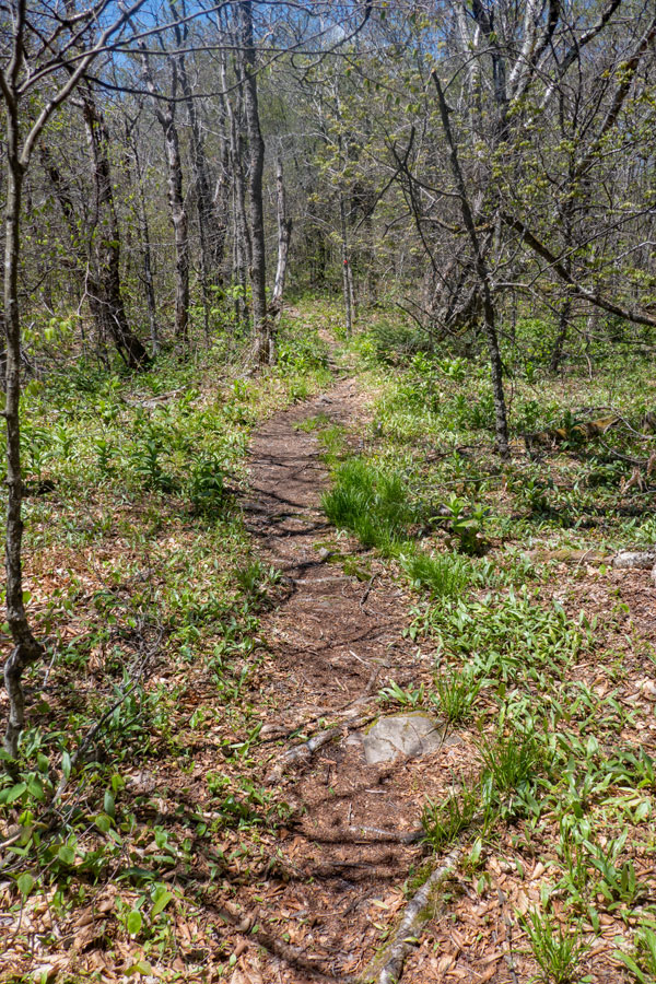
After you have climbed a couple hundred feet in elevation, the trail will level out for the next mile. You will walk through conifer forest most of the time. There are a number of large rocks that litter the path. This part of the hike is quite pleasant.
NOTE: After almost a mile from the West Hunter Parking Area, the path will come up next to the Mink Hollow Stream. This is your best place (or, only place) to obtain water for this hike. There is a spring up near the summit of West kill Mountain, but it is very often dry.
After the trail leaves the Mink Hollow Stream, the trail will start to gain some elevation, but will continue to head in a southerly direction. The trail will become more rocky and windy.
|
|
 |
 |
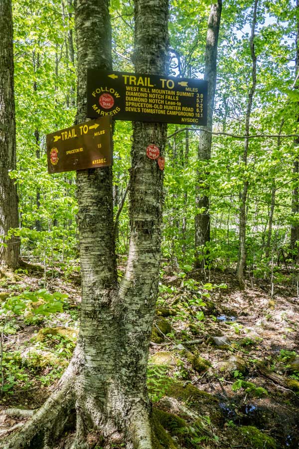
After hike a little over 1-1/2 miles, you will come to a DEC Trail Sign. At this point, you will be leaving the Mink Hollow Valley. At this point you will turn LEFT and start to head up St Anne Mountain.
Some hikers bushwhacking up to North Dome, may leave the path at the water source or at this trail junction.
After leaving this trail junction, the path will turn left towards the east. It will immediately start to climb up the base of St Anne Mountain at a moderate incline. It will continue to climb at this incline for the next 3/4 of a mile.
|
|
 |
 |
As you get near the top of moderate incline of St Anne Mountain, the trail will start to turn to the right.
After it has turned almost 90 degrees to the south again, the trail will become almost level. The hiking will be easy.
|
|
 |
 |
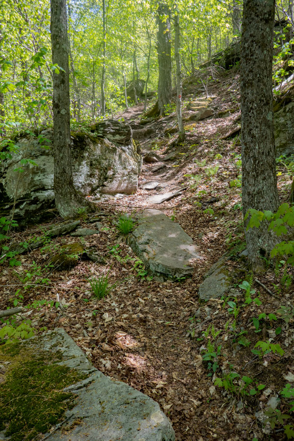
The path will continue to remain level until it starts to turn from the south to the east again.
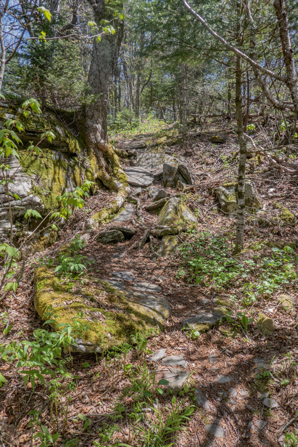
Once it starts to turn to the east, you will have to climb up a small ledge. The climb up the ledge is not that difficult.
|
|
 |
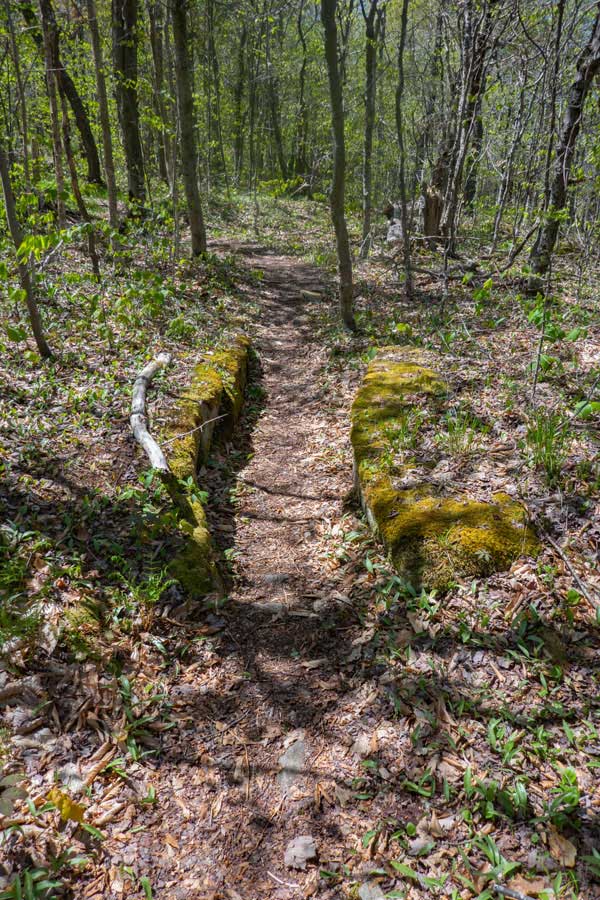
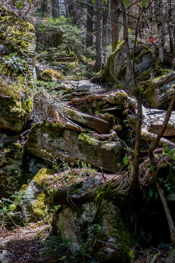
After a short distance you will come to this location. Most people think that the rock on the right is the summit of St Anne. But, it's not the summit. The actual St Anne Summit is another 400-500' down the path. The actual summit is 10' higher then this location. So, keep going!
|
|
 |
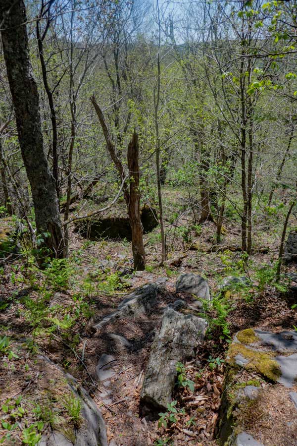 |
The summit of St Anne is quite flat. But, there is a location in the path that is slightly higher. That is the high point of the path over St Anne. The actually summit of St Anne, is about 50 feet off to the left. It is only about 2 feet higher then the path.
When you hike about 100 feet further, the path will go down the east side of St Anne Mountain. It will plunge down the hillside through several ledges.
|
|
 |
|
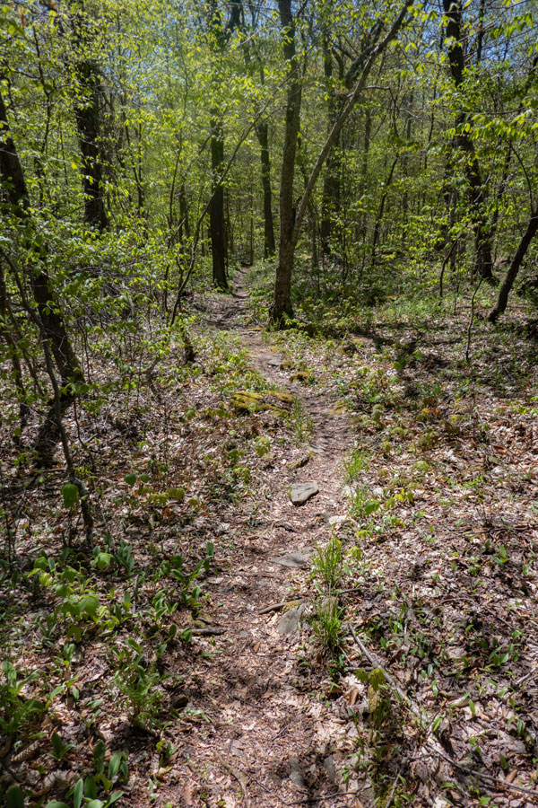
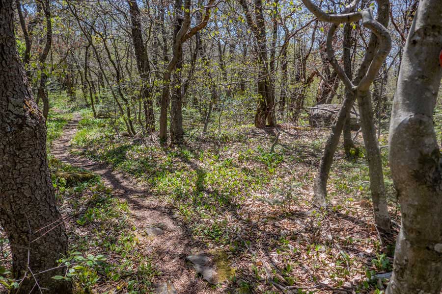
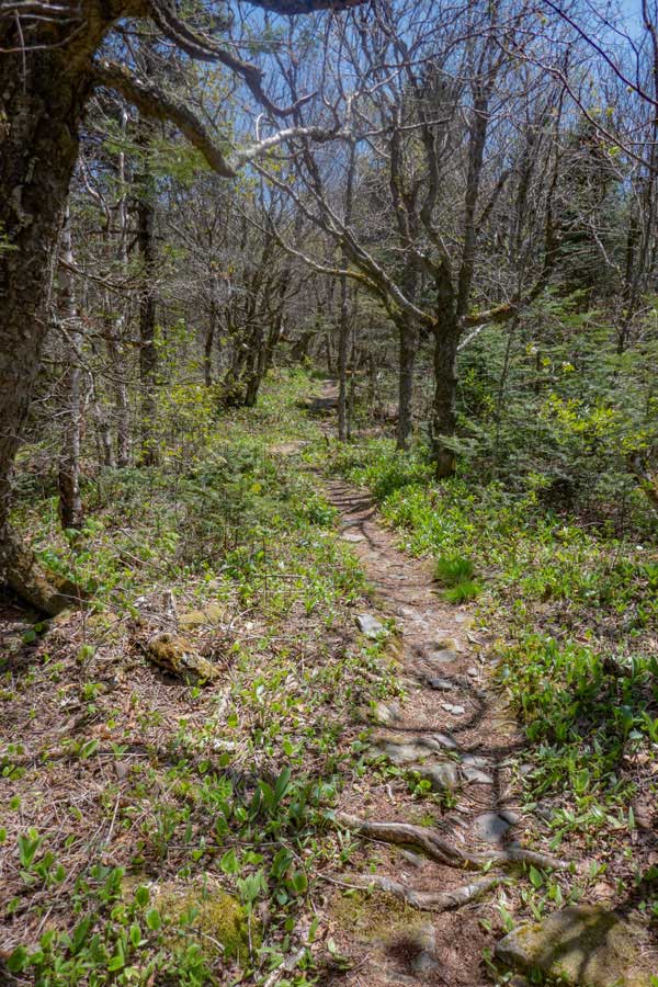
Once you get down to the bottom of the east side of St Anne Mountain, the trail level's out for quite a ways.
As you start to approach the west side of West Kill Mountain, you will start to encounter some conifer trees. The path is quite nice in some areas.
Some people do camp in this region because it is below 3,500'. Make sure that you are 150 feet off the trail.
|
|
 |
 |
This is the location of 3,500 feet in elevation. You cannot camp above 3,500 feet in the Spring, Summer, or Fall. The larger tree you see growing on the edge of the rock ledge is the 3,500 foot mark.
This is also the base of west side of West Kill Mountain. You will start to encounter some incline in the path, as well as, some rock ledges you need to climb up.
There will also be a few level spots, but most of the way to West Kill Mountain will have some incline and ledges.
|
|
 |
As you climb up towards the summit of West Kill Mountain, there is a very small spring on the left side of the trail. It is often dry in the summer months, or periods of drought. It is not a reliable spring.
|
|
 |
 |
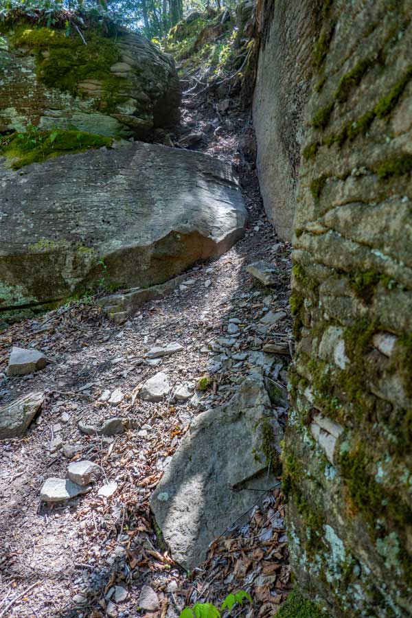
Before you get to the summit region of West Kill Mountain, you will have to climb up a number of ledges. While it may look difficult, it is easier then it looks.
Once you get past the ledges, the trail will level off to a nice walk through the conifer forest. The summit is close by.
|
|
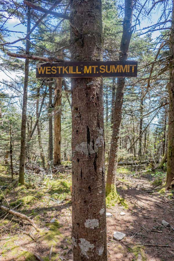 |
When you reach the summit of West Kill Mountain, there will be a sign on the right side of the trail. Most of the summits of the higher peaks of the Catskill Mountains do not have signs. But, West Kill Mountain does.
Across the trail is the highest point on West Kill Mountain at 3,897'
If you continue a little further on the trail, there is the Buck Ridge Lookout, that has one of the best views in the Catskill Mountains.
|
|
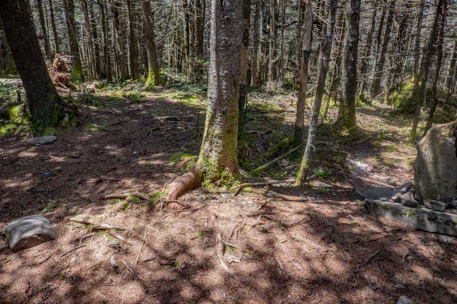 |
The tree to the left of the rocks (right side of the image) is the actually summit.
|
|
|
This is the view from Buck Ridge Lookout rock just off the summit of West Kill Mountain. It is one of the best views in the Catskill Mountains. At the end of the valley is Lanesville, New York (Rt 214).
We always recommend that people hike this mountain on a nice clear day.
|
|
 |
This is the view from Buck Ridge Lookout rock just off the summit of West Kill Mountain. Lanesville, New York is located at the end of the valley. It should be noted that this is only part of the view you will see.
|
|
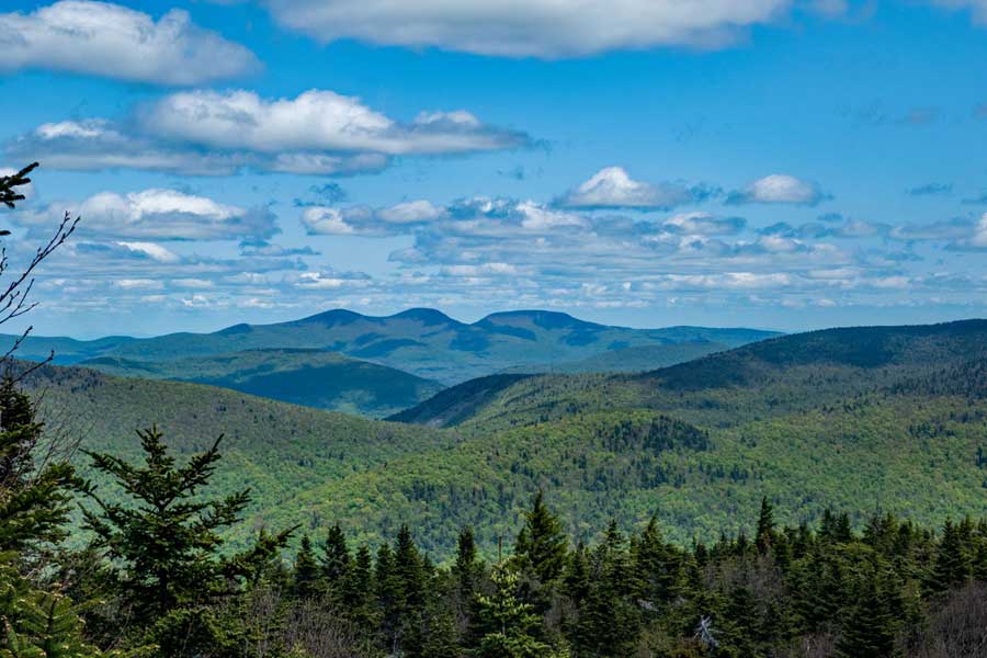 |
While standing on Buck Ridge Lookout rock - If you look to the left you will see the Blackhead Mountains (in the far distance).
From right-to-left, Arizona Mountain, Blackhead Mountain, Black Dome Mountain, Thomas Cole Mountain, and Camel's Hump.
Once you are done, you can turn around and head back to your car the same way you came. Hope you enjoyed your hike.
|
|
|
S E C T I O N S
|
W E A T H E R
|
O T H E R
|