Plateau Mountain via Notch Inn Road in Edgewood |
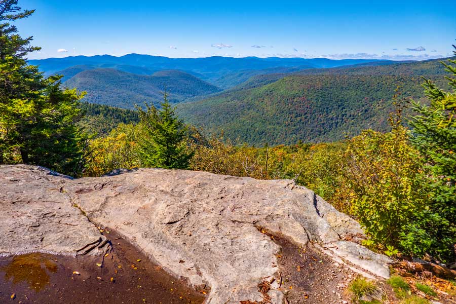 |
| Orchard Point - View looking south towards Phoenicia |
| |
| |
|
OVERVIEW |
| | Trail Name: | Notch Inn Road Trail
 (Edgewood Parking Area TO Warner Creek Trail)
 |
| | Trail Name: | Warner Creek Trail
 (Notch Inn Road Trail TO Devil's Path)
 |
| | Trail Name: | Devil's Path
 (Warner Creek Trail to Notch Lake (Rt 214))
 |
| | Trail Name: | Rt 214
 (Notch Lake Parking Area to Edgewood Parking Area)
 |
| | |
| | | Distance: | 6.72 miles round trip Notch Lake on Rt 214 (Devil's Campground) |
| | Distance: | 7.60 miles round trip Mink Hollow Road (North) |
| | Distance: | 9.22 miles round trip Notch Road Loop |
| | Distance: | 11.46 miles round trip Mink Hollow Road (South) |
| | Distance: | 11.94 miles round trip Notch Road) |
| | Time: | Average 4 to 8 hours round trip |
| | Elevation Gain: | 2,060' from Notch Inn Road Parking Area to the summit of Plateau Mtn |
| | Best Time to Hike: | Morning offers the best views |
| | Difficulty: | Very Difficult |
| | Peak Elevation: | 3,848' |
| | |
| | | USGS Official Names: | Plateau Mountain (ID: 973359) |
| | USGS Previous Names: | Stony Mountain (changed in 1928) |
| | USGS Summit-Elevation: | 3,845' (USGS) |
| | USGS Plateau-Summit-WGS84: | 42.1378671, -74.1743088 (DEC-WGS84) |
| | USGS Plateau-Summit-GPS: | N 42 08.272, W 74 10.459 (GPS) |
| | USGS Plateau-Summit-UTM: | 18N 568234, 4665414 (UTM) |
| | USGS Plateau-Summit-Deg, Min, Sec: | N42 08 16, W74 10 27 (Degree, Min, Sec) |
| | |
| | | USGS Official Map: | Hunter Topographical Map (free) |
| | |
| | | Acme Digital Mapper: |
Topo
Terrain
Satellite |
| | |
| | | Access Methods: | Foot |
|
|
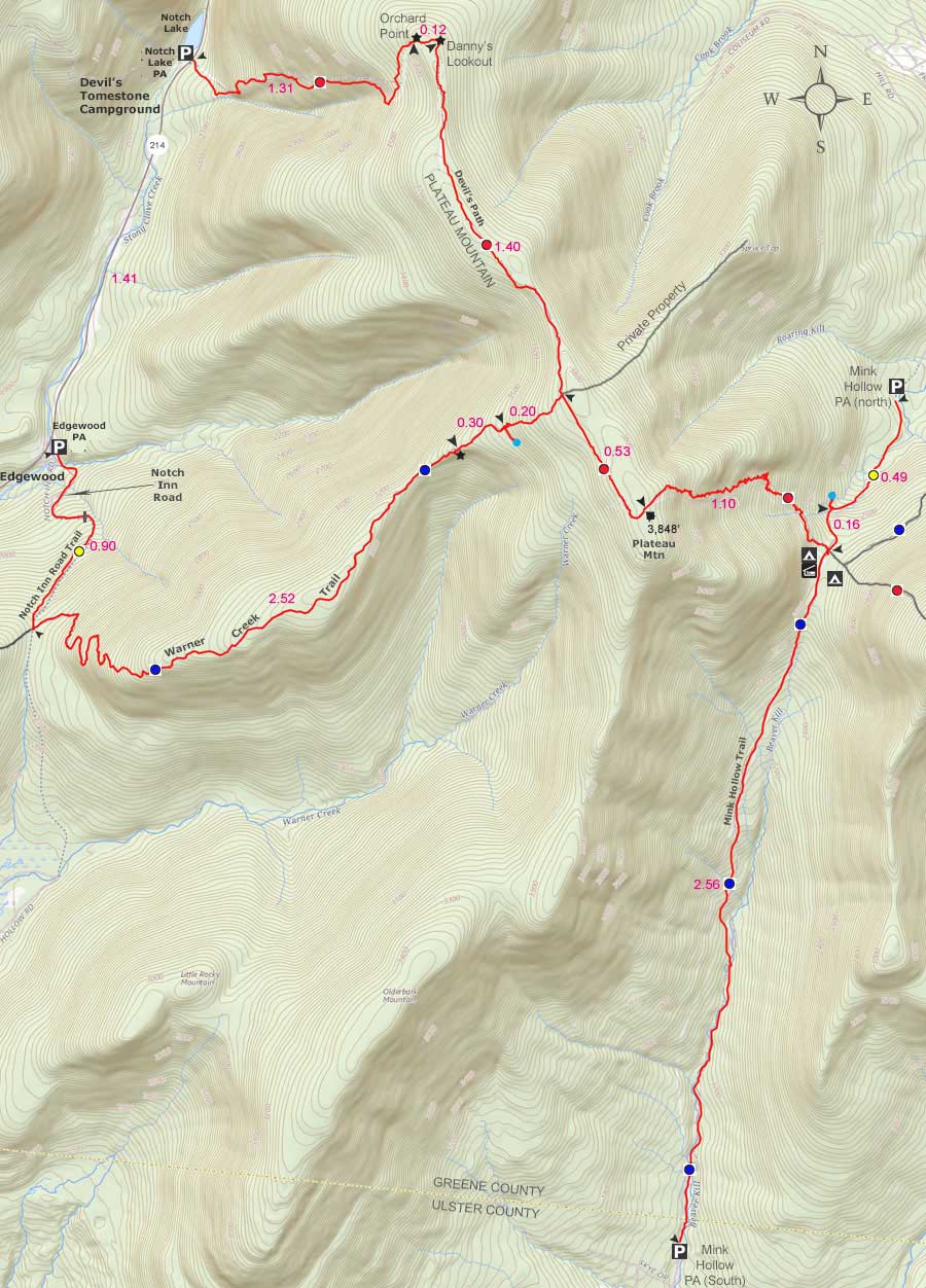
Maps |
 |
|
|
|
Routes |
| Devil's Campground Route: Total Elevation = 1,814' Total Mileage = 6.72. This route starts off Route 214 by Notch Lake (Elev 2,034'). The hike from Rt 214 up to Orchard Point is very steep with lots of loose round rocks. The higher up you go, the steeper and more difficult it becomes. You will also have to climb up the ledge to Orchard Point. In the Winter, this can become difficult. Once on Orchard Point, the walk across the ridge of Plateau Mountain, to the summit, is quite easy. Some consider the climb up from Devil's Campground undesirable. |
|
| Mink Hollow Road (North) Route: Total Elevation = 1,573' Total Mileage = 7.60. This route starts off on the North side of Mink Hollow Road by Elka Park. The hike up to Mink Hollow Pass is fairly easy. During high water, crossing the Roaring Kill Creek can become a challenge. From Mink Hollow Pass to the summit of Plateau Mountain is very challenging. Especially if the rocks are wet or damp. In the Winter, this can become difficult. Once up the steep section, the summit is a short distance away. If you skip the walk across the ridge of Plateau Mountain to the view points, the total mileage drops from 7.6 to 3.5 miles. If you love rock scrabbles, you will like this route. If it is wet or icy, then this route can become difficult and/or dangerous. If you choose this route, just continue viewing this page. |
|
| Mink Hollow Road (South) Route: Total Elevation = 2,316' Total Mileage = 11.46. This route starts off on the South side of Mink Hollow Road in Ulster County (just west of Woodstock NY). The hike up to Mink Hollow Pass is rocky. At the beginning of the path you have to cross the creek a couple times, and during high water, crossing is very dangerous. If not impossible. It is not uncommon to have 20-30 trees down across the path. This route is long and the most undesirable route. Parking on the south side of Mink Hollow is often used for hiking Olderbark Mountain. |
|
| Notch Road Loop Route: Total Elevation = 2,049' Total Mileage = 9.22. The inclines up to Plateau Mtn Summit is the easiest of any route. This hike includes the summit and view points. This route starts off at the beginning of Notch Road. When the road ends, hike up to the Warner Creek Trail Junction. Then hike from the Trail Junction up the Warner Creek Trail to the ridge of Plateau Mountain. This section of the trail is exceptional. The forest is very wild and beautiful. It has a nice variety of terrain. The beginning of the Warner Creek Trail is somewhat steep but not terrible. Once above the steep section, the trail has a nice steady uphill incline. About a 1/2 mile from the ridge is a beautiful view point. Once up to the ridge of Plateau Mountain you will then walk about a mile to the summit. Then walk all the way back across the ridge to the other two view points. Then hike down to Devil's Campground, and a final 1.4 mile down Rt 214 to your car. The hike down Rt 214 is difficult and dangerous. The guard rails are right next to the edge of the road. The road walk makes this route undesirable. If you have two cars, and can leave one at Devil's Campground parking area, and place another car at Notch Road, this hike can be quite nice (7.81 miles). If you choose this route, just continue viewing this page. |
|
| Notch Road Route: Total Elevation = 2,049' Total Mileage = 11.94. This route starts off at the beginning of Notch Road. Hike up Notch Road (past private road sign). At the end of Notch Road the road becomes a trail. Hike up to the Warner Creek Trail Junction. From the Trail Junction hike up the Warner Creek Ridge to Plateau Mountain. This part of the hike is exceptional. The forest is very wild and beautiful. It has a nice variety of terrain. The beginning of the Warner Creek Trail is somewhat steep but not terrible. Once above the steep section, the trail has a nice steady uphill incline. About a 1/2 mile from the Plateau Mtn Ridge is a beautiful view point. If you skip the walk across the ridge of Plateau Mountain to the other view points you can reduce the mileage by 3 miles. This route is the longest. If you choose this route, just continue viewing this page. |
|
|
|
| | Directions to the EDGEWOOD PARKING AREA |
| | DEC Parking Lot WGS84 (DEC): 42.140917, -74.212133 - Elevation is approximately 1,788 feet |
| | DEC Parking Lot Deg/Min/Sec: N42 08 27, W74 12 43 - Elevation is approximately 1,788 feet |
| | DEC Parking Lot GPS: N 42 08.455, W 74 12.728 - Elevation is approximately 1,788 feet |
| | DEC Parking Lot UTM: 18N 565105 4665723 - Elevation is approximately 1,788 feet |
| | Take New York State Thruway to Exit 21 (Catskill). |
| | Take a left out of the NYS Thruway entrance road. |
| | Go approximately 3/4 mile |
| | Take a right onto Route 23 West |
| | Go approximately 6.6 miles to Cairo, NY |
| | Take a LEFT onto Rt 32. McDonalds Rest. on corner. |
| | Go approximately 7.7 miles on Rt 32 |
| | Take a RIGHT onto Rt 23A |
| | Go approximately 11.5 miles to the intersection of Rt 23a and Rt 214. |
| | Take a LEFT onto Rt 214 |
| | Go approximately 4.2 miles on Rt 214 |
| | Take LEFT onto Notch Inn Road |
| | The Edgewood Parking Area is located a short distance on Notch Road on LEFT side of road (holds 10 cars). |
|
|
| | Directions to the NOTCH LAKE PARKING AREA |
| | DEC Parking Lot WGS84 (DEC): 42.159667, -74.203467- Elevation is approximately 2,001 feet |
| | DEC Parking Lot Deg/Min/Sec: N42 09 34, W74 12 12 - Elevation is approximately 2,001 feet |
| | DEC Parking Lot GPS: N 42 09.580, W 74 12.208 - Elevation is approximately 2,001 feet |
| | DEC Parking Lot UTM: 18N 565802, 4667811 - Elevation is approximately 2,001 feet |
| | Take New York State Thruway to Exit 21 (Catskill). |
| | Take a left out of the NYS Thruway entrance road. |
| | Go approximately 3/4 mile |
| | Take a right onto Route 23 West |
| | Go approximately 6.6 miles to Cairo, NY |
| | Take a LEFT onto Rt 32. McDonalds Rest. on corner. |
| | Go approximately 7.7 miles on Rt 32 |
| | Take a RIGHT onto Rt 23A |
| | Go approximately 11.5 miles to the intersection of Rt 23a and Rt 214. |
| | Take a LEFT onto Rt 214 |
| | Go approximately 2.8 miles on Rt 214 |
| | Take RIGHT into Notch Lake Parking Area (holds 25 cars). |
| |
|
| | PARKING NOTICE: When the Devil's Tomestone Campground opens in the Spring to when it closes in the fall, you MUST pay a Day Use Fee to parking at the Notch Lake Parking Area. The fee to park at this parking area are no longer listed on the DEC's web site, but expect to pay around $5-$10. |
|
|
Notes about this Hike |
| | This hike is part of the Devil's Path. The Devil's Path is one of the most difficult and dangerous hiking paths in the world. There is a good reason why they call it the Devil's Path. You better be a skilled hiker who is in good shape. If you are scared of heights, or steep climbs, this may not be a good hike for you.
There are a number of ways you can do this hike. Make sure you do your research before going. If you only want to "tag" Plateau Mountain Summit, then hiking it from the north side of Mink Hollow Road is the shortest. Especially if you skip the view points 2 miles away from the summit. If you like hikes that few people hike that are wild terrain, then hiking it from Edgewood via the Warner Creek Trail might be the best route for you. Most people consider Mink Hollow from the south as most undesirable.
Back around 2010, several people saw Timber Rattlesnakes on or near the trail. Since then we are unaware of any other sightings of them. While it is highly unlikely that you encounter one, it is not impossible.
For those who need to camp in this area, there is a DEC Lean-to and two campsites very near Mink Hollow Road Pass (Near Trail Junction in the col of Sugarloaf Mtn and Plateau Mtn). It is located just south of the Trail Junction. It is called the Mink Hollow Lean-To. There is also a Spring on the other side of the pass. You cannot camp within 150' of a trail, road or water source. Additionally, you cannot camp above 3500' in the Spring, Summer, or Fall. Do NOT create or use fire ring in locations that are not official camping locations (Lean-to and campsites). It is very easy to set the roots in the ground on fire, which will cause a forest fire. Rangers patrol this path often and ticket those who violate the rules.
|
|
|
MILEAGE CHART from Mink Hollow Road (north) |
| | Mile Point | Mileage | Elevation | Notes |
| | 0.00 | 0.00 | 1,788' | Park at the Edgewood Parking Area on Notch Inn Road. |
| | 0.90 | 0.90 | 2,347' | Trail Junction for Notch Inn Road Trail & Warner Creek Trail. |
| | 2.52 | 3.42 | 3,391' | View Point on the Warner Creek Trail. |
| | 0.30 | 3.72 | 3,534' | Trail to Spring. |
| | 0.20 | 3.92 | 3,824' | Trail Junction for Warner Creek Trail & Devil's Path. |
| | 0.53 | 4.45 | 3,848' | Plateau Summit. |
| | 0.53 | 4.98 | 3,824' | Trail Junction for Devil's Path & Warner Creek Trail. |
| | 1.40 | 6.38 | 3,716' | Danny's Lookout - View of Tannersville NY |
| | 0.12 | 6.50 | 3,701' | Orchard Point - Excellent Views of down towards Phoenicia NY. |
| | 1.31 | 7.81 | 2,001' | Notch Lake Parking Area. |
| | 1.41 | 9.22 | 1,788' | Edgewood Lake Parking Area. |
|
|
Hike to Plateau Mountain from Mink Hollow (North Side) |
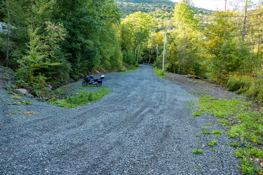 |
This is the Edgewood Parking Area just off Rt 214 on Notch Inn Road. There is enough for about 10 cars. Do NOT block the road, as there are homes above this point.
To start your hike, just continue to hike up Notch Inn Road. |
|
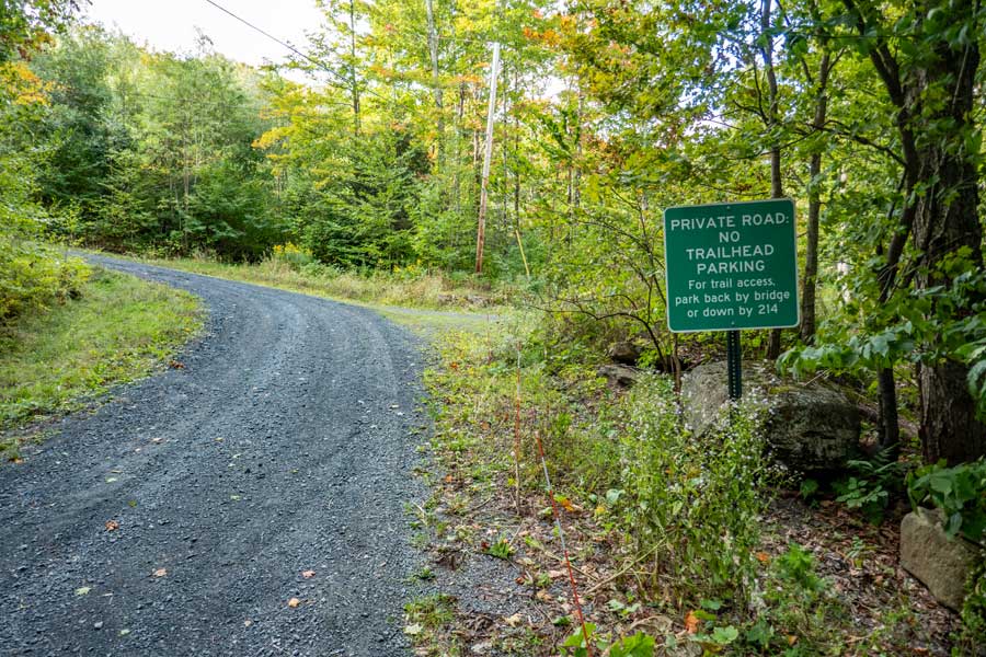 |
As you continue to hike up Notch Inn Road, you will see this sign. The land on the right side, and part of the left side of the road is privately owned. So, stay on the road, and stay out of the way of cars coming-and-going. |
|
 |
 |
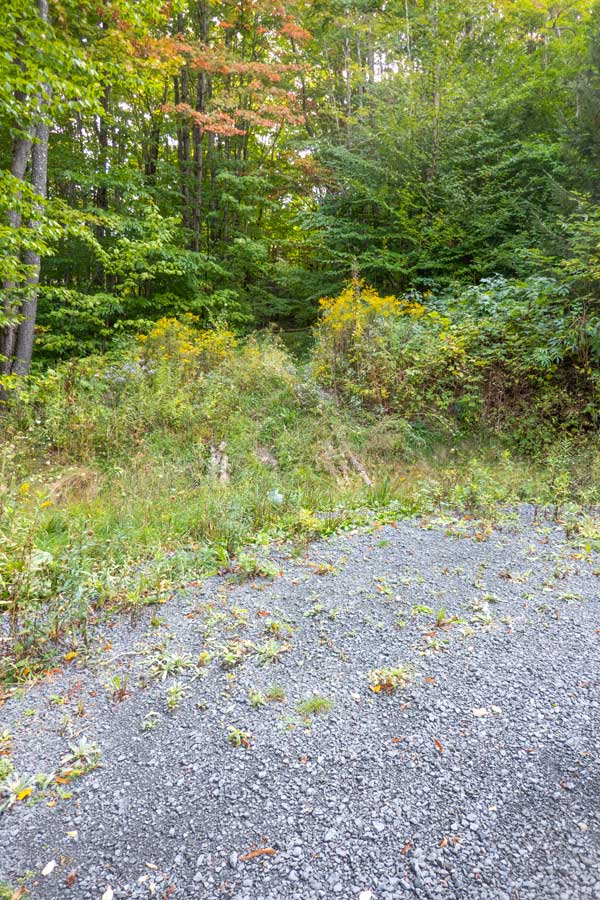
If you look at this image, you will see a cut in the yellow Goldenrod. That is the trailhead for the Notch Inn Road Trail. Years ago, the DEC put a dirt mound there to prevent cars from using the old road. Unfortunately, the weeds have grown high enough to block the trail. |
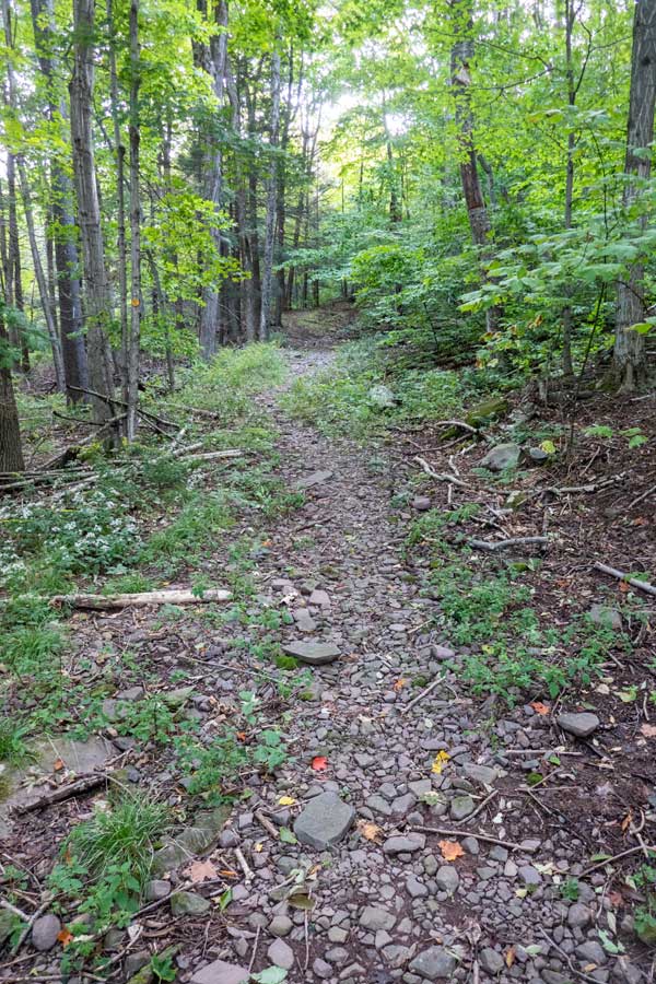
This is the old Silver Hollow Road, which is now called the Notch Inn Road Trail. The part that goes over the pass has been closed for a number of years. And, the road is now eroded enough that cars can no longer use it. The end of Silver Hollow Road on the south side cuts through private property. |
|
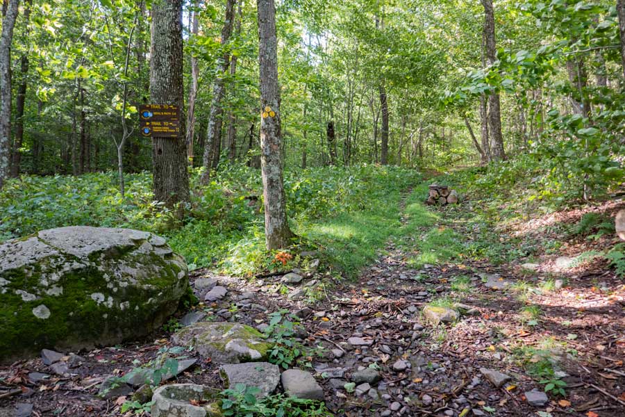 |
Once you reach the pass, go LEFT up the northern portion of the Warner Creek Trail. This will take you to Plateau Mountain.
Right will take you down the southern portion of the Warner Creek Trail. This will take you over Edgewood Mountain, around Carl Mountain, and finally to Tremper Mountain. |
|
 |
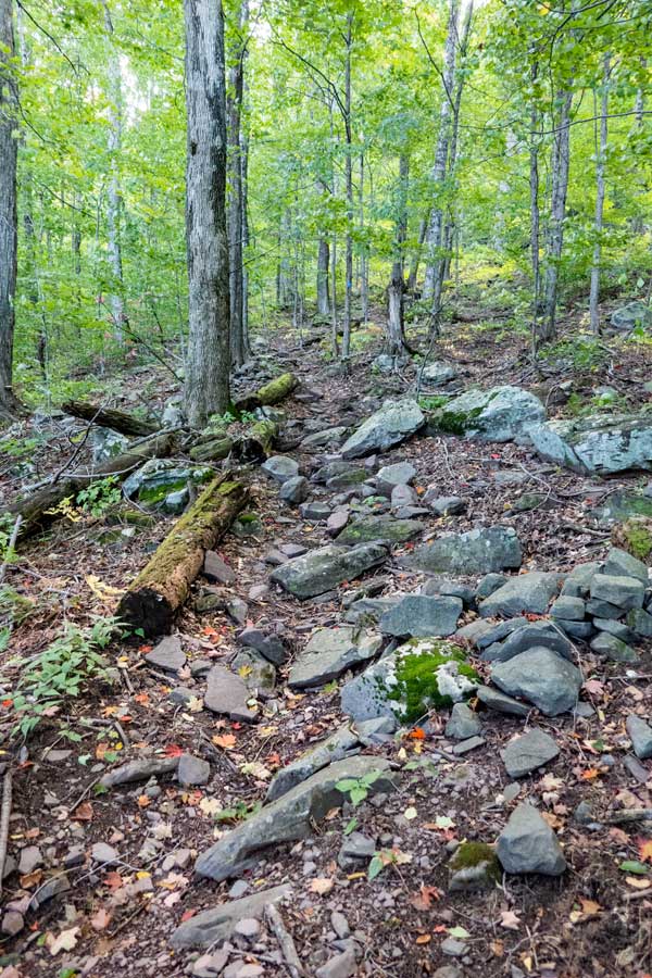 |
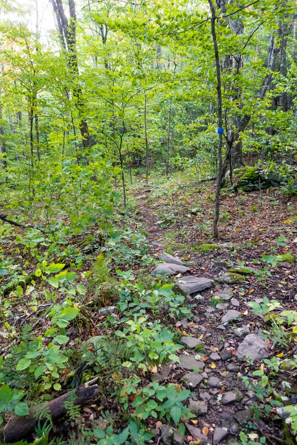
The northern portion of the Warner Creek Trail will start out with a flat incline. |
The trail will then start to get a little rocky . |
|
 |
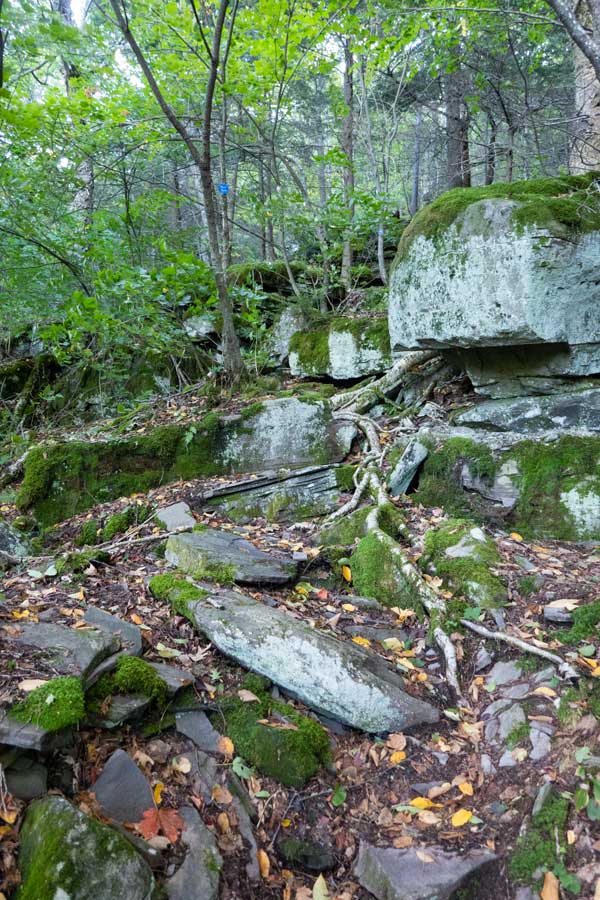 |
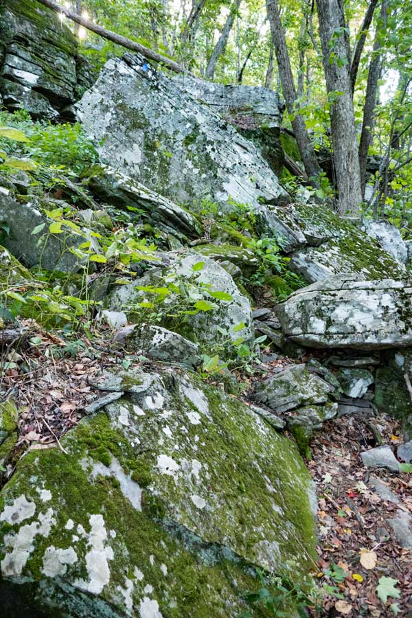
You will then hit the first ledge of the Warner Creek Trail. While the trail does not look obvious, there is a blue trail marker on the upper large rock. |
Once above the first section of the ledge, it gets easier. |
|
 |
 |
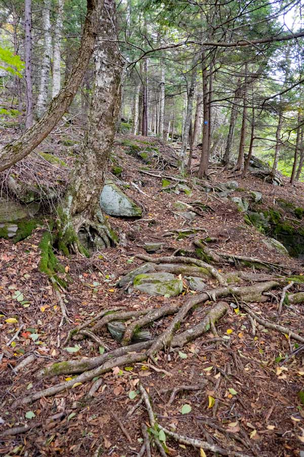
You will then ascend into a conifer forest where the trail is a little rooty. |
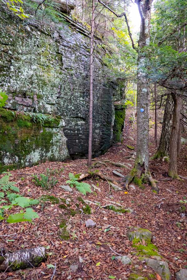
The trail then goes under this massive bluestone rock. |
|
 |
 |
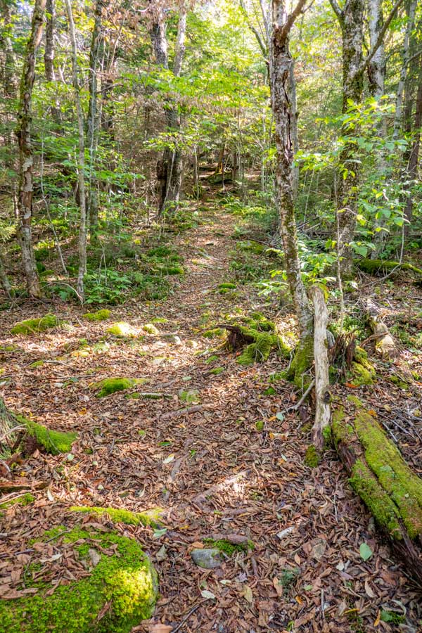
As you get in the middle section of the northern portion of the Warner Creek Trail on Plateau Mountain, the incline gets much easier. |
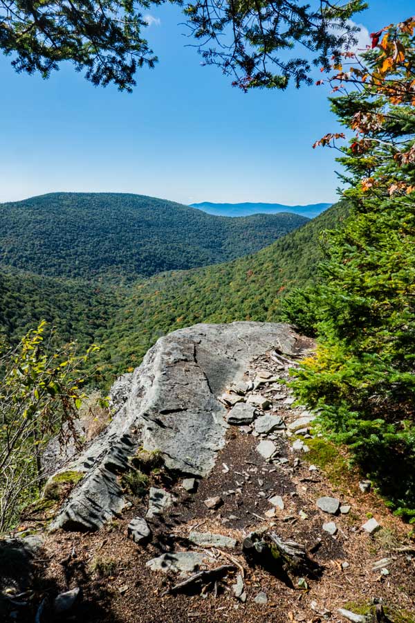
About 3/4 of the way up Plateau Mountain on the Warner Creek Trail, there is a small side trail to a beautiful view point. You are now 1/2 mile from the ridge line of Plateau Mountain. |
|
 |
3/10 of a mile after the view point is a side trail that take you to a spring near the top of Plateau Mountain. The spring is located several hundred feet off the trail.
This is also the 3,500' elevation marker. In the spring, summer, and fall you cannot camp above 3,500 feet in the Catskill Mountains. |
|
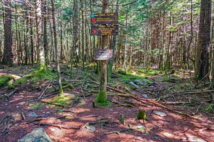 |
After another 2/10 of a mile after the side trail to the Spring, you will come to the Devil's Path on the ridge line of Plateau Mountain. If you want to go to the summit of Plateau Mountain, you want to go RIGHT. Left will take you to Orchard Point and Danny's Lookout, and finally to Notch Lake. |
|
 |
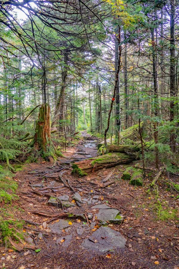 |
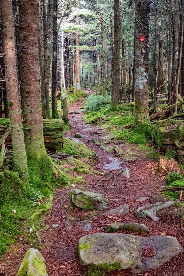
The trail across Plateau Mountain is magical. It is about 1/2 mile to the summit of Plateau Mountain from the Warner Creek Trail. |
When you come to a 90 degree turn in the trail to the left, walk up the hill until you reach the highest point. This is the summit of Plateau Mountain. It should be noted that the USGS changed the summit to another location after lidar radar was used to create new topo maps. Later the USGS retracted this due to "sliver" errors in mapping. As of 2024, they are working on correcting these errors. So, the high point is on the trail. No need to leave the trail.
Once done reverse your course back to Plateau Mountain Ridge Line. Then hike until you reach the two view points (2 miles from the summit). If you do not want to see the view points, then you can reverse your course back to the Warner Creek Trail. |
|
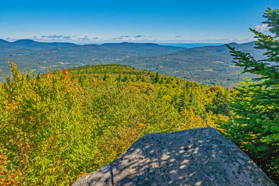 |
This is Danny's Lookout. The view you see in the distance is Tannersville. The mountains in the distance are from Blackhead Mountain (left) to North-South Lake. Then on the very right is the Kaaterskill Wild Forest. |
|
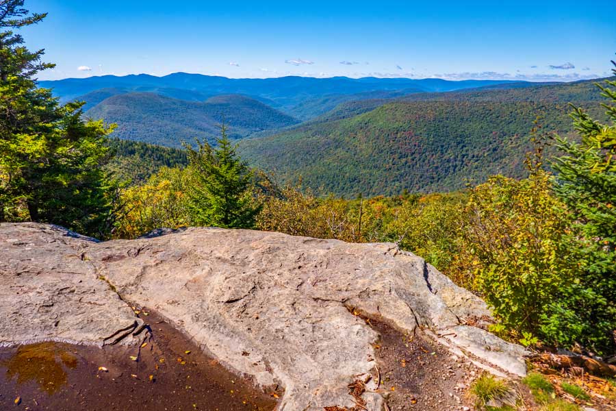 |
This is the view from Orchard Point on Plateau Mountain. It looks down into Lanesville, NY to Phoenicia, NY. This view point is a favorite of many avid hikers.
You can return back to Warner Creek Trail and return back to your car. Obviously, this route is longer. Or, you can hike further on the Devil's Path to Notch Lake off Rt 214.
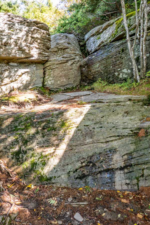
If you plan on hiking further on the Devil's Path to Notch Lake, you want to go to the left of the image. The trail is between the larger conifer on the very left, and the smaller conifer just to the right of it. The next image will show you what it looks like from below the ledge. |
|
 |
 |
Looking from below the ledge, you can see where you have to go to get down from Orchard Point. |
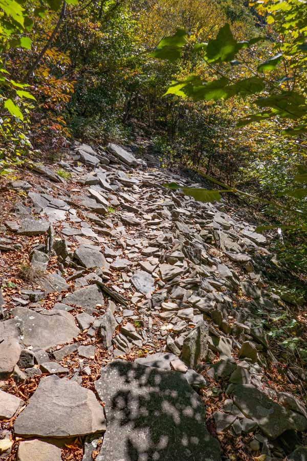
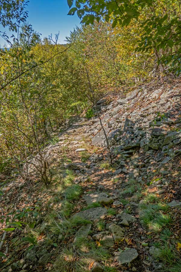
When you hike down from Orchard Point you will come to one-of-two rock piles you will need to hike across . |
|
 |
 |
This is the second rock pile you will need to cross. |
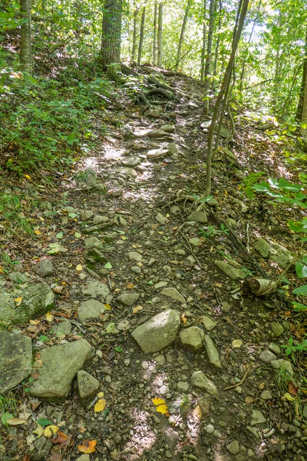
As you get down further, the trail does become a little easier. |
|
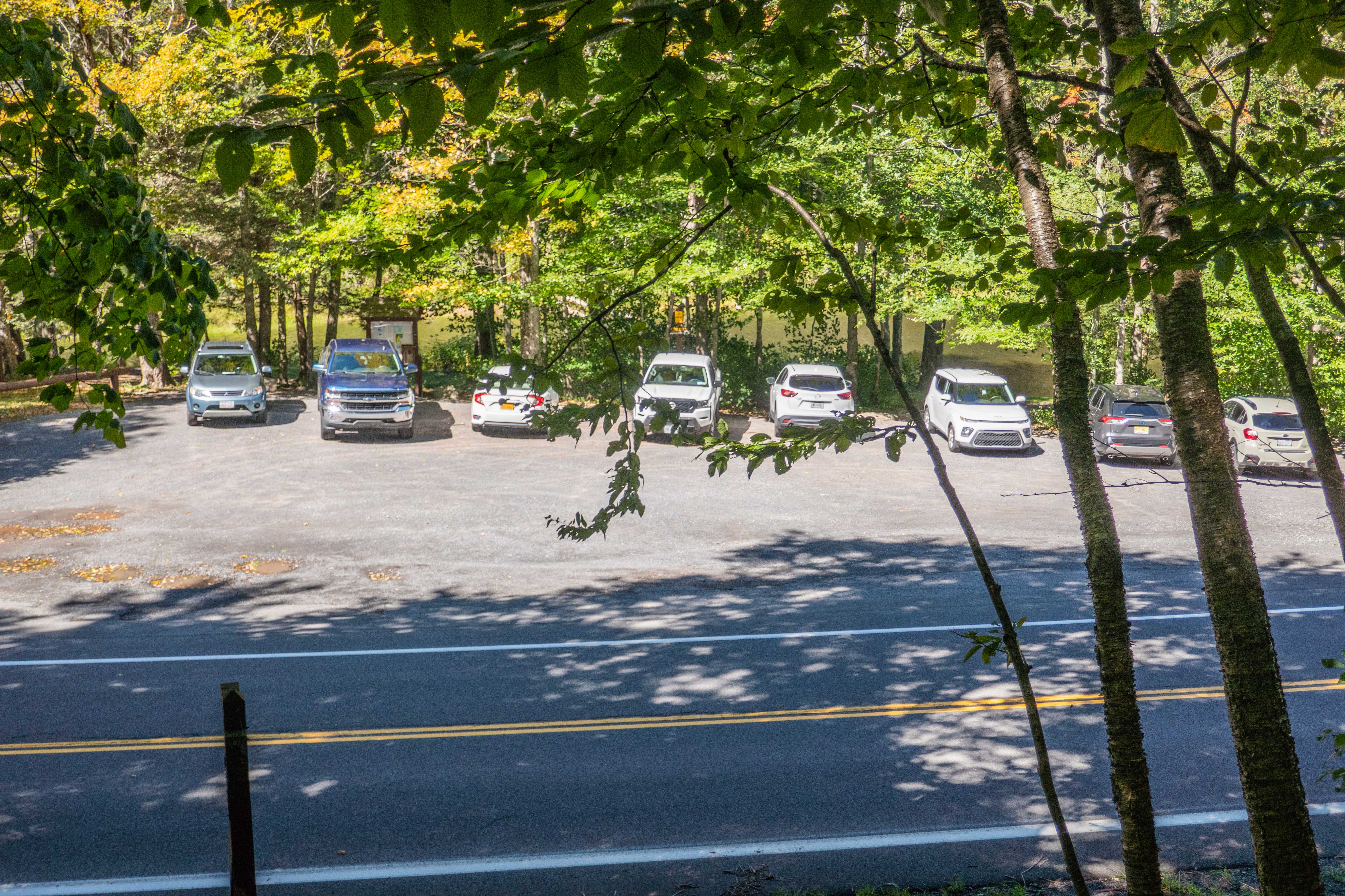 |
Just before you reach Rt 214, you will see Notch Lake Parking Area. |
|
 |
 |
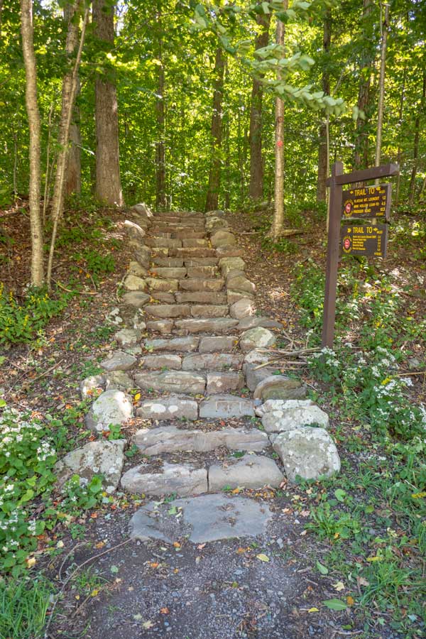
These are the stairs of the Devil's Path that end at Rt 214 at Notch Lake Parking Area.If you placed a second car at the Notch Lake Parking Area, you are done with your hike.
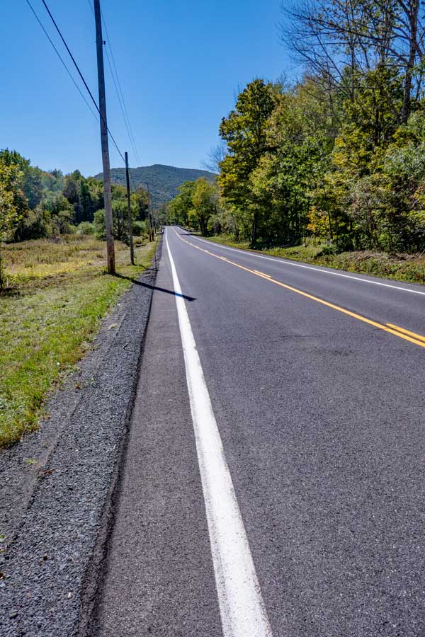
If you only have one car at Edgewood, then you need to take a left and hike another 1.4 miles down Rt 214 to your car on Notch Inn Road in Edgewood. |
. |
|
|
S E C T I O N S
|
W E A T H E R
|
O T H E R
|
