Twin Mountain via NorthWestern Route |
 |
| |
| |
|
OVERVIEW |
| | Distance: | 6.69 miles round trip from Roaring Kill Parking Lot to the Twin Summit and back. |
| | Time: | Average 5.00 hours round trip |
| | Elevation Gain: | 1,639’ feet from Road Kill parking lot to the summit of Twin Mountain. |
| | Best Time to Hike: | Morning on a clear day. |
| | Difficulty: | Very Difficult |
| | Catskill Highest: | #23 |
| | Summit Elevation: | 3,643' (Northwestern Summit) |
| | Summit Elevation: | 3,557' (Southeastern Summit) |
| | | |
| | | USGS Official Names: | Twin Mountain (ID: 968056) |
| | USGS Previous Names: | Schoharie Peak - because it is the beginning of the Schohaire Creek.
Changed from Schoharie Peak to Twin Mtn in 1928.
Also known in the past as Sugarloaf Mountain. |
| | USGS Summit-Elevation: | 3,647' (According to the 1928 Official Decision Card - See Note #1) |
| | USGS Twin-WGS84: | 42.125645, -74.129029 (DEC-WGS84) |
| | USGS Twin-GPS: | N 42 07.539, W 74 07.742 (GPS) |
| | USGS Twin-UTM: | 18N 571990, 4664094 (UTM) |
| | USGS Twin-Deg, Min, Sec: | N42 07 32, W74 07 44 (Degree, Min, Sec) |
| | |
| | | USGS Official Map: | Woodstock Topographical Map (free) |
| | |
| | | USGS Official Map: | Bearsville Topographical Map (free) |
| | |
| | | USGS Official Map: | Hunter Topographical Map (free) |
| | |
| | | ACME Digital Mapper: |
Topo
Terrain
Satellite |
| | |
| | | Access Methods: | Foot only |
| | |
| | NOTE: The 1928 USGS Decision Card had numerous errors. The official elevation in the database was also wrong. The South Summit is off by 100' on the card. |
|
|
Maps |
 |
|
|
| | DIRECTIONS TO TRAIL HEAD |
| | Roaring Kill Parking WGS84 (DEC): 42.134033 -74.10435 - Elevation is approximately 2,022 feet |
| | Roaring Kill Parking Deg/Min/Sec: N42 08 02 W74 06 15 - Elevation is approximately 2,022 feet |
| | Roaring Kill Parking GPS: N 42 08.042 W 74 06.261 - Elevation is approximately 2,022 feet |
| | Roaring Kill Parking UTM: 18N 574020 4665046 - Elevation is approximately 2,022 feet |
| | Take New York State Thruway to Exit 21 (Catskill). |
| | Take a left out of the NYS Thruway entrance road. |
| | Go approximately 3/4 mile |
| | Take a right onto Route 23 West |
| | Go approximately 6.6 miles to Cairo, NY |
| | Take a LEFT onto Rt 32. McDonalds Rest. on corner. |
| | Go approximately 7.7 miles on Rt 32 |
| | Take a RIGHT onto Rt 23A |
| | Go approximately 2.2 miles on Rt 23a |
| | Take a RIGHT into Palenville |
| | Go approximately 6.8 miles to Tannersville NY. |
| | Take a LEFT onto South Main Street (If you miss this road then take a LEFT on to Rail Road Ave |
| | Go approximately 4.3 miles on Rt 16 (Platteclove Road) |
| | Take a RIGHT onto Dale Lane |
| | Go approximately 0.4 miles on Dale Lane |
| | Take a RIGHT onto Roaring Kill Road |
| | Go approximately 0.6 miles on Roaring Kill Road |
| | NOTE: Parts of Roaring Kill Road is NOT plowed in the Winter |
|
|
NOTES ABOUT THIS HIKE |
| | This route is the most difficult way to hike Twin Mountain. It is also one of the most difficult sections of the Devil's Path. If you like to be challenged, then you may like this route. Others like this route due to the great views from Dibble's Quarry. The two view points by both summits are also outstanding. The SouthEast Summit has one of the best views in the Catskill Mountains, but you can get to this view point from either route.
This hike is part of the Devil's Path. The Devil's Path is one of the most difficult and dangerous hiking paths in the world. There is a good reason why they call it the Devil's Path. You better be a skilled hiker who is in good shape.
The preferred route is from Prediger Road. The elevation climb from from Pecoy Notch is twice of the elevation climb when compared to the climb from Jimmy Nolan Notch. The climb up from Pecoy Notch is very steep.
The fastest known time (FKT) for the entire Devil's Path (24.2 miles) was done in 4h 35m 57s on June 1, 2020 by Ja Shua Ried (male). The FKT for a female is Krista Rynkowski and Celia Keim Patel who did it in 8h 38m 34s on May 5, 2019. The FKT for the entire Devil's Path and back (48.4 miles) was done by Alexander Galasso in 13h 43m 10s on September 9, 2019. All unsupported.
|
|
|
MILEAGE CHART |
| | Mile Point | Altitude | Notes |
| | 0.00 | 2,022’' | Roaring Kill Parking Lot off Dale Lane. |
| | 0.26 | 2,024' | Trail Junction - Take LEFT. |
| | 0.96 | 2,353' | Dibble's Quarry |
| | 1.19 | 2,380' | Stream Crossing |
| | 1.57 | 2,379’' | Old Beaver Pond |
| | 2.01 | 2,821’' | Pecoy Notch |
| | 2.56 | 3,510’' | Cave near summit region |
| | 2.72 | 3,661’' | True summit of Twin Mountain on NorthWest Summit |
| | 2.98 | 3,643’' | Twin Mountain (North Summit). Enjoy views. Turn around and return to your car |
| | 3.33 | 3,557’' | Twin Mountain (SouthEast Summit). Spectacular 225 degree View point |
| | 6.69 | 2,022’' | Roaring Kill Parking Lot off Dale Lane |
|
|
Hike to Twin Mountain from the NorthWest |
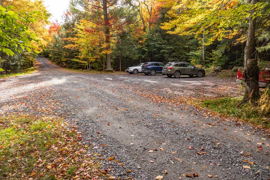 |
The picture is the Roaring Kill DEC parking lot. You can park on both sides of the road. lot can probably hold 15 to 20 cars. |
|
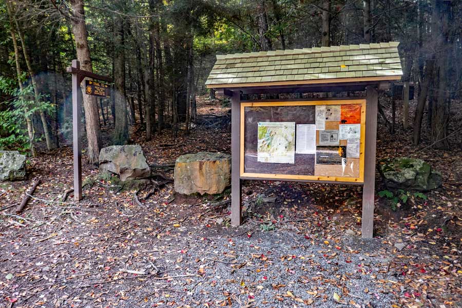 |
This is the Trailhead to both Twin (west) and Sugarloaf (east & west). The trail begins between the Kiosk and the sign. Just hike past the large rocks. |
|
 |
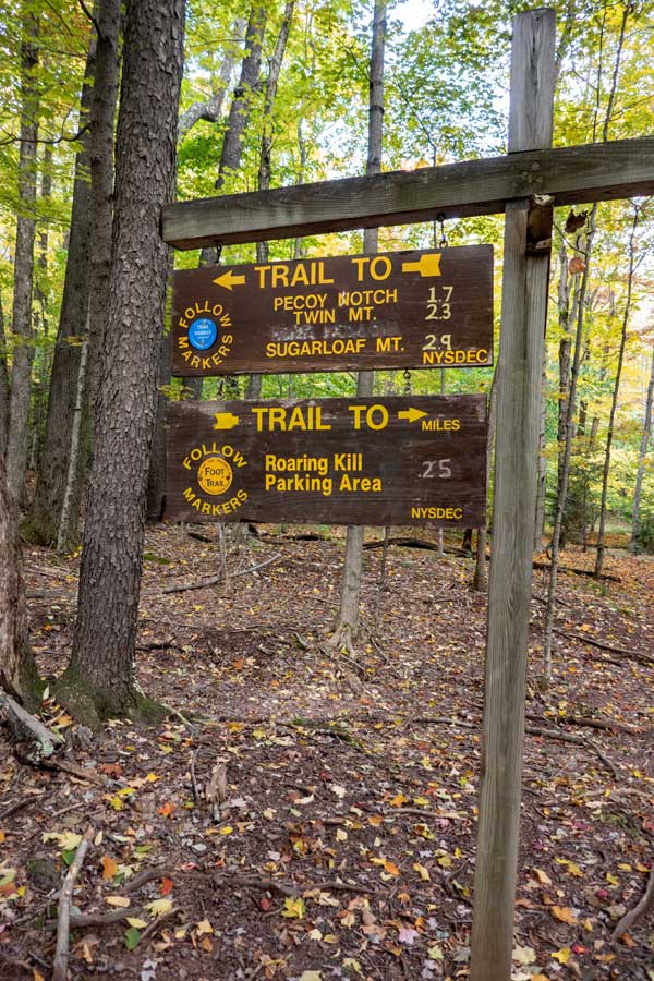 |
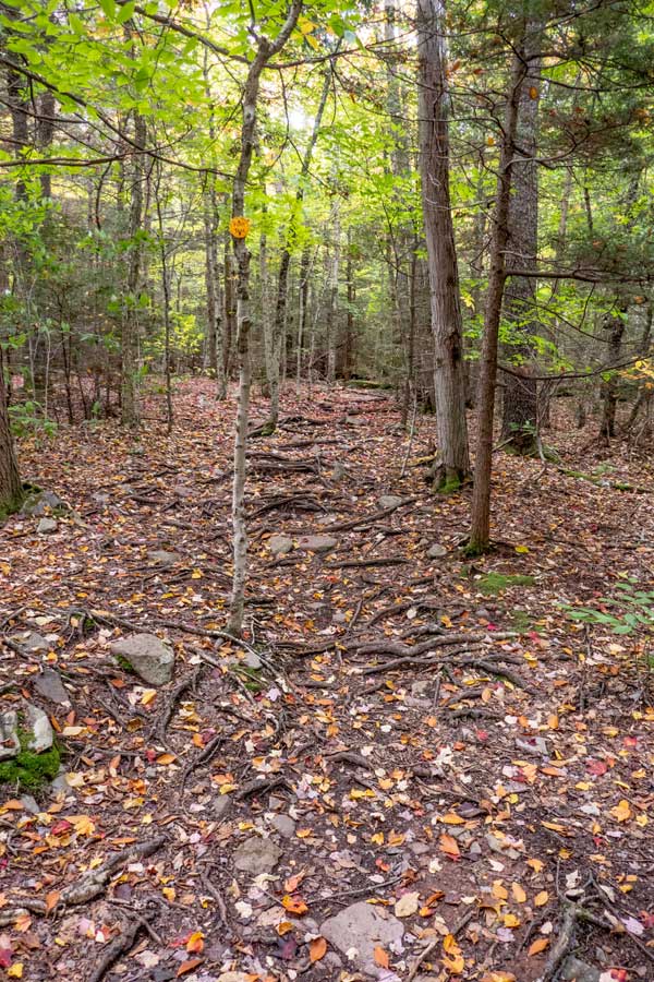
This is the Roaring Kill Trail. It is only about 1/4 mile like and is a littly rooty. |
At this trail junction, you want to go LEFT on the Pecoy Notch Trail towards Twin Mountain and the Pecoy Notch. Right will put you on the Mink Hollow Trail and take you to the west side of Sugarloaf Mountain and Plateau Mountain. |
|
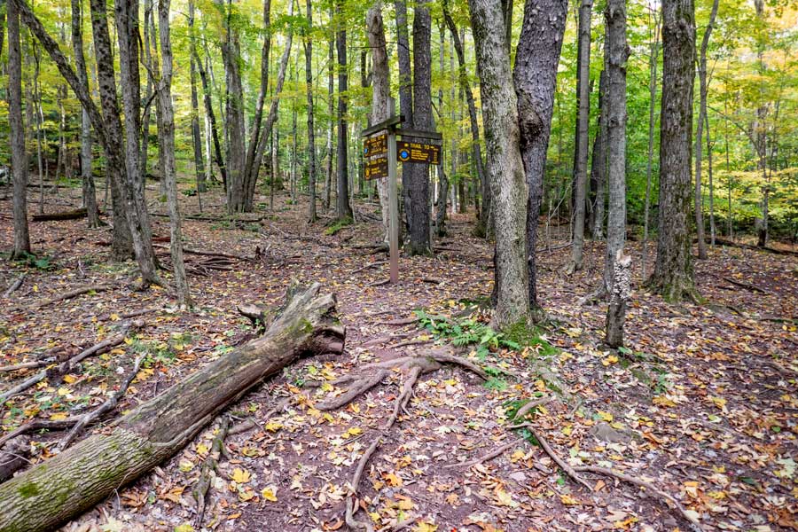 |
This is another view of the trail junction for the Pecoy Notch Trail and the Mink Hollow Trail. You want to continue left (straight). |
|
 |
 |
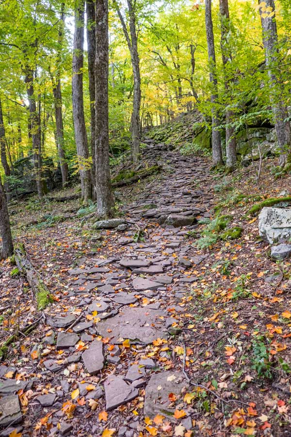
From the Trail Junction to Dibble's Quarry, you will climb several hundred feet in elevation over about It is about 3/4 of a mile from the Trail Junction, or a mile from the Roaring Kill Parking Lot. |
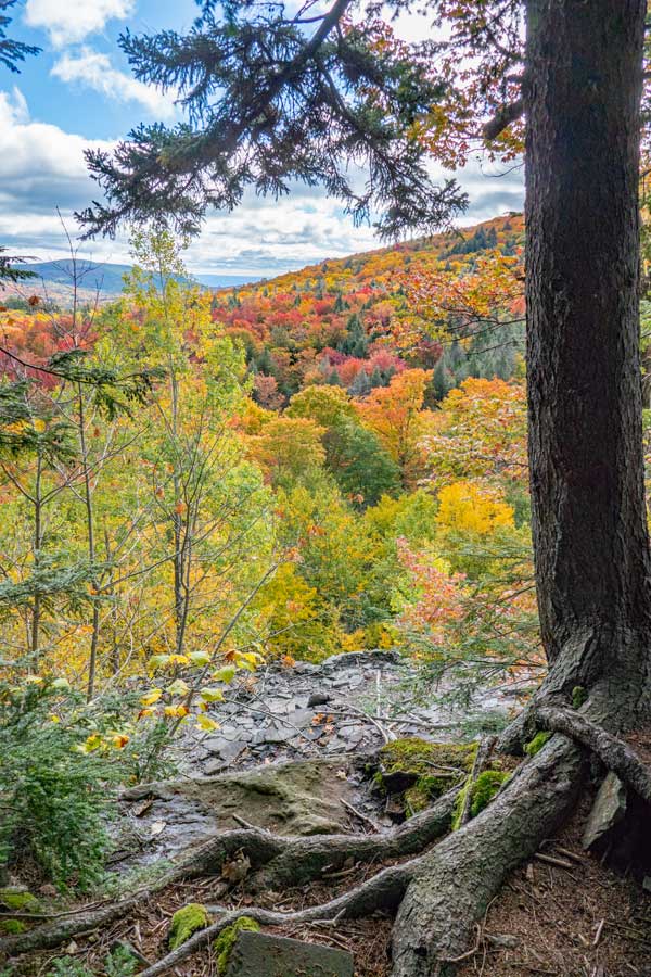
After coming up the hill, you will come to the Entrance of Dibble's Quarry. Off to your left will be a view toward Platte Clove. |
|
 |
Once in Dibble's Quarry, you will see a number of stone chairs, and a little village that people have built over time. It has a beautiful view over the Platte Clove Valley. |
|
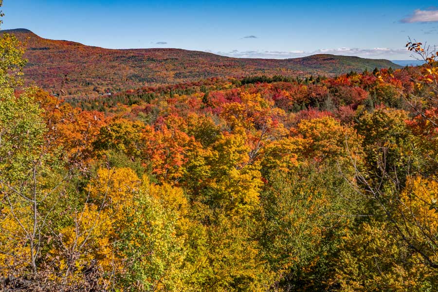 |
This is the beautiful view over the Platte Clove Valley. You have Kaaterskill High Peak on the left and Huckleberry Point on the right. |
|
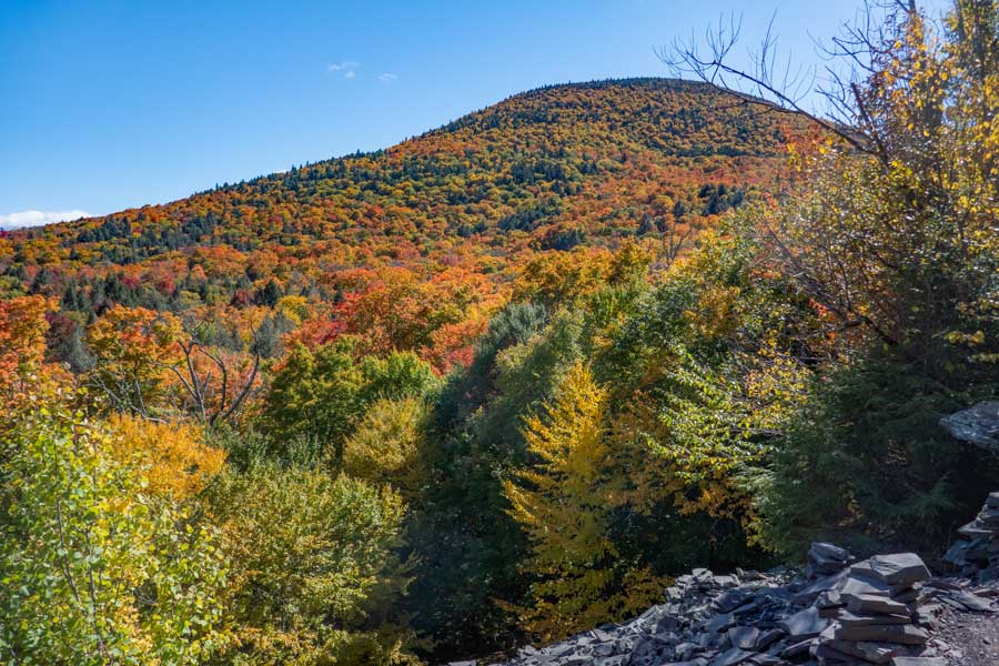 |
To your right is the summit of Twin Mountain. |
|
 |
 |
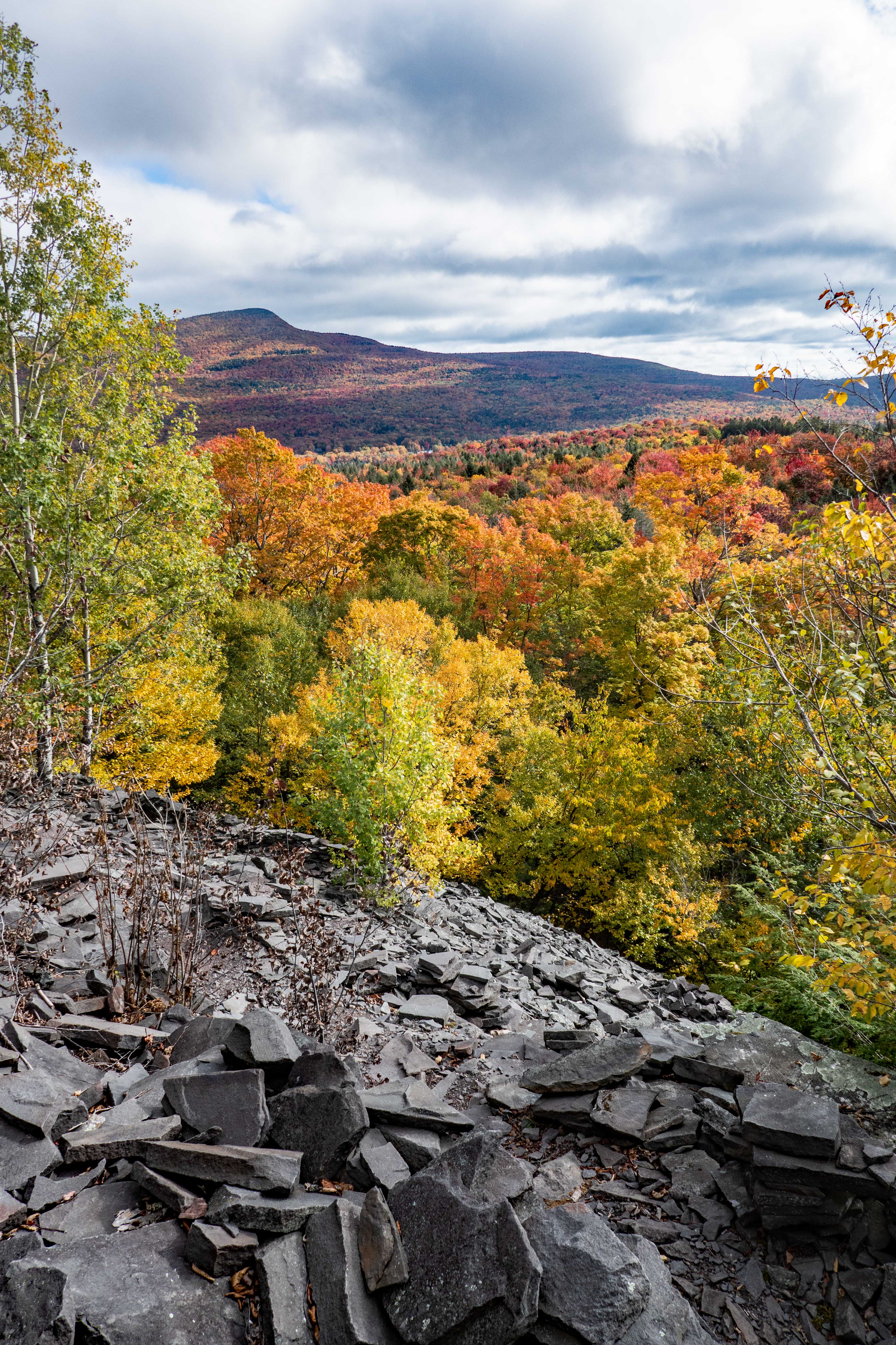
Just before you leave Dibble's Quarry, you will get one last view of Kaaterskill High Peak |
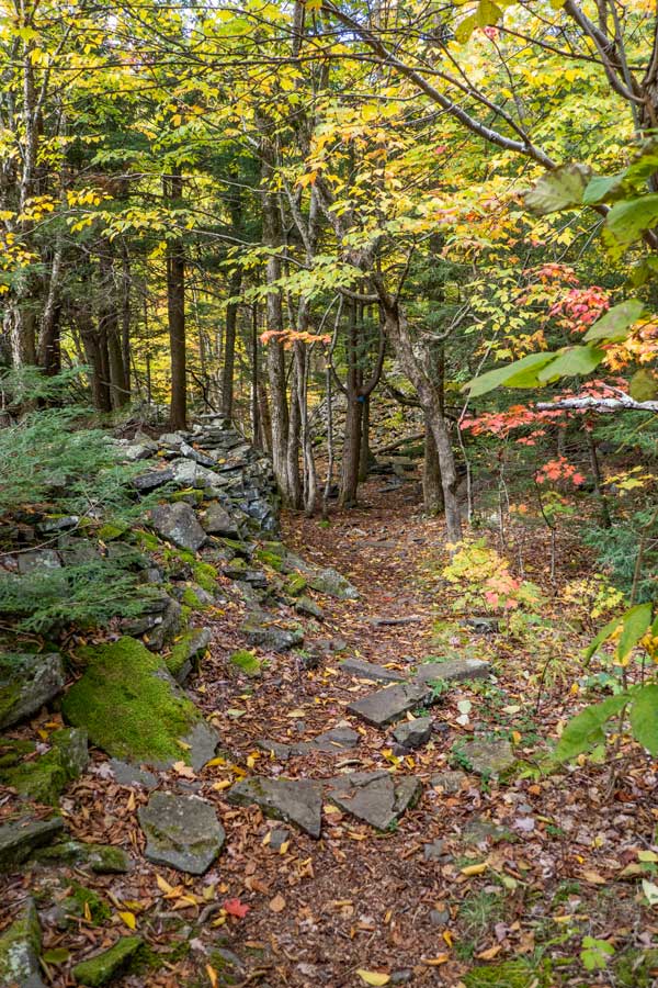
After the last view point, you will start to enter the forest again. You will walk through parts of the old Dibble's Quarry. |
|
 |
 |
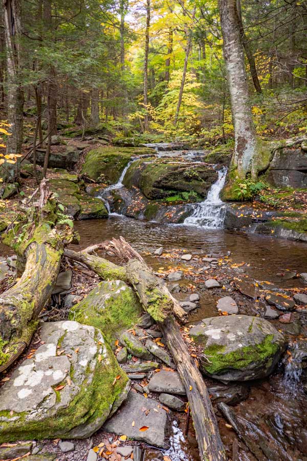
About 2/10 of a mile past Dibble's Quarry, you will come next to a creek that crosses the trail. There is also a nice 10' waterfall. |
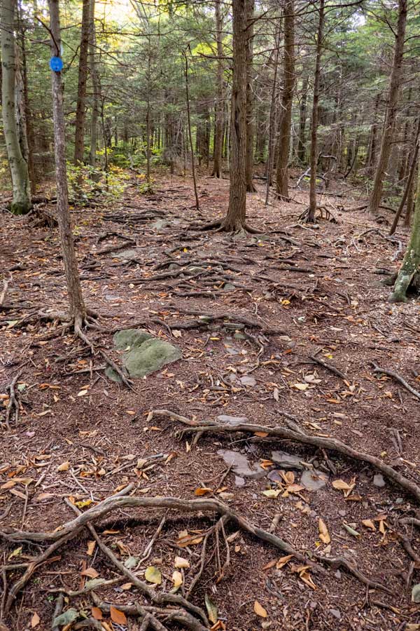
From the waterfalls to the old Beaver Pond, the trail can get a little rooty. |
|
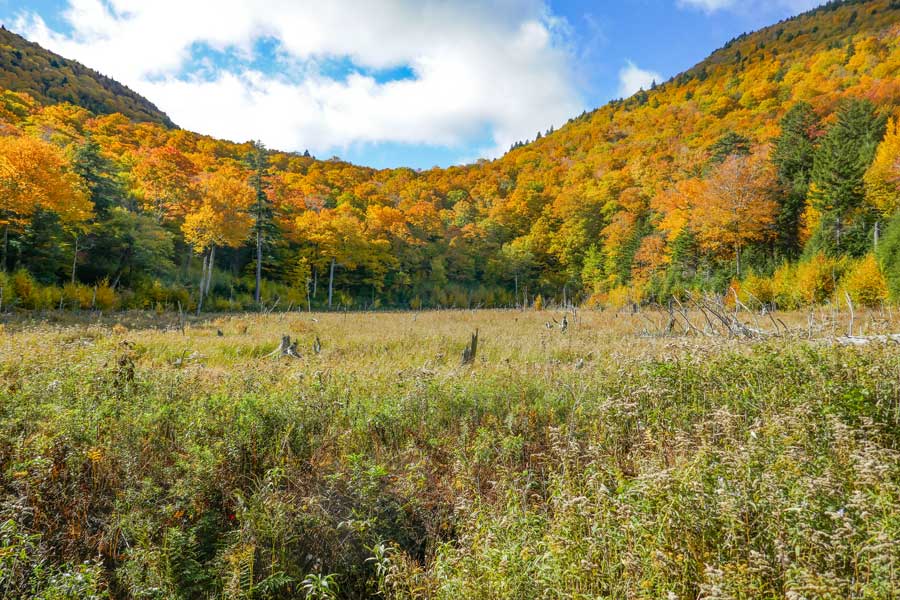 |
This is the old Beaver Pond. As of 2023, the beavers are no longer there, and the beaver pond has drained out. It is about a 1/2 mile from Dibble's Quarry |
|
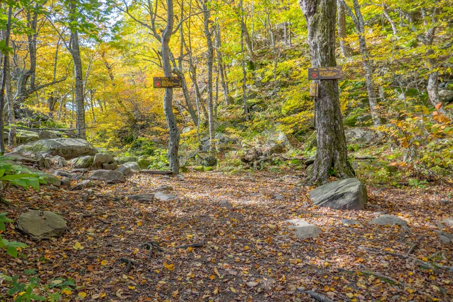 |
About 4/10 after the Old Beaver Pond, you will reach Pecoy Notch. You want to go LEFT up Twin Mountain. Right will take you up Sugarloaf Mountain. |
|
 |
 |
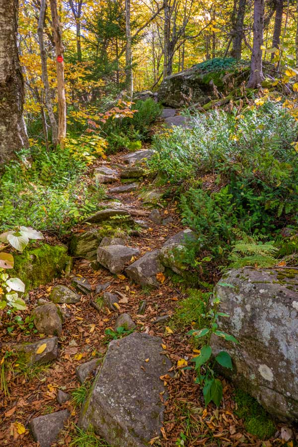
The beginning of the Devil's Path up the northwestern side of Twin Mountain starts off very easy. |
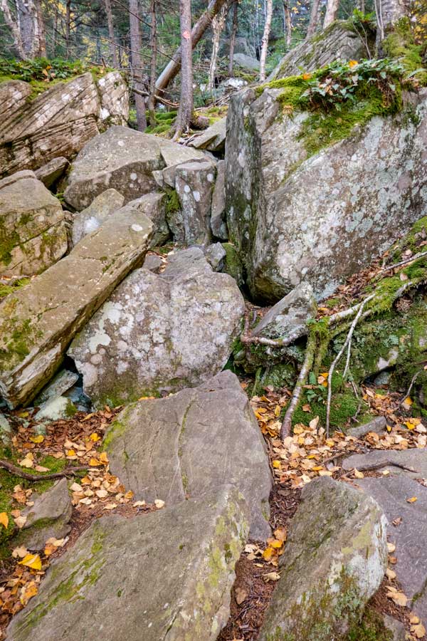
The difficulty of the Devil's Path up the northwestern side of Twin Mountain will increase in difficulty fairly quickly. |
|
 |
 |
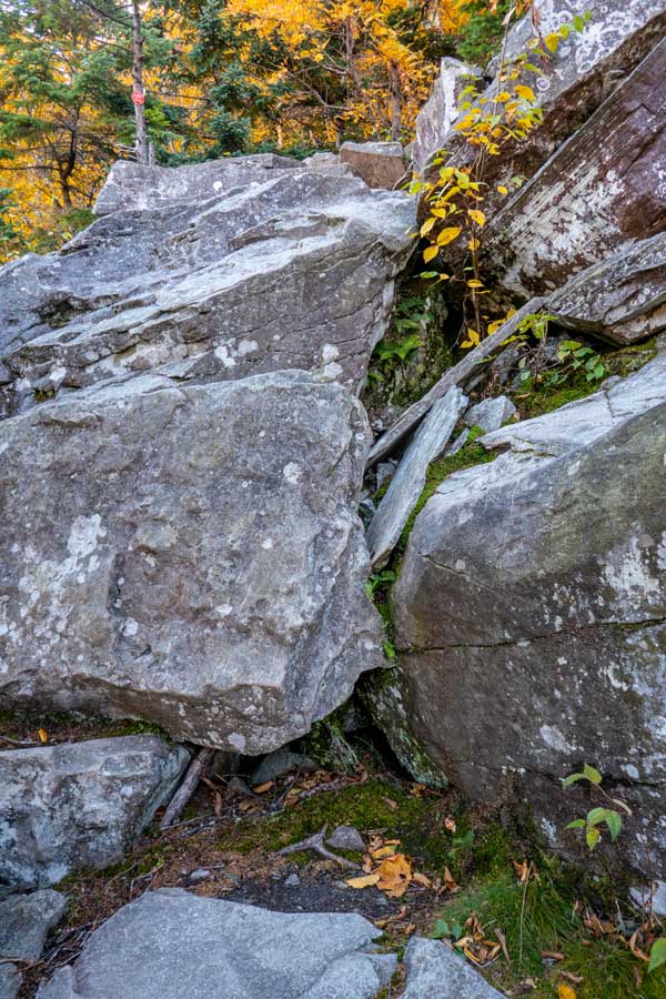
The difficult of the northwestern side of Twin continues to be difficult all the way up the western side of Twin Mountain. |
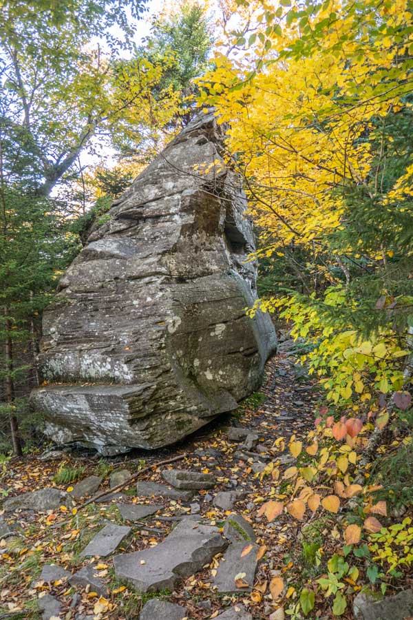
This large boulder is about 20 feet high, and most hikers find it interesting. Also one of the few section of the trail. |
|
 |
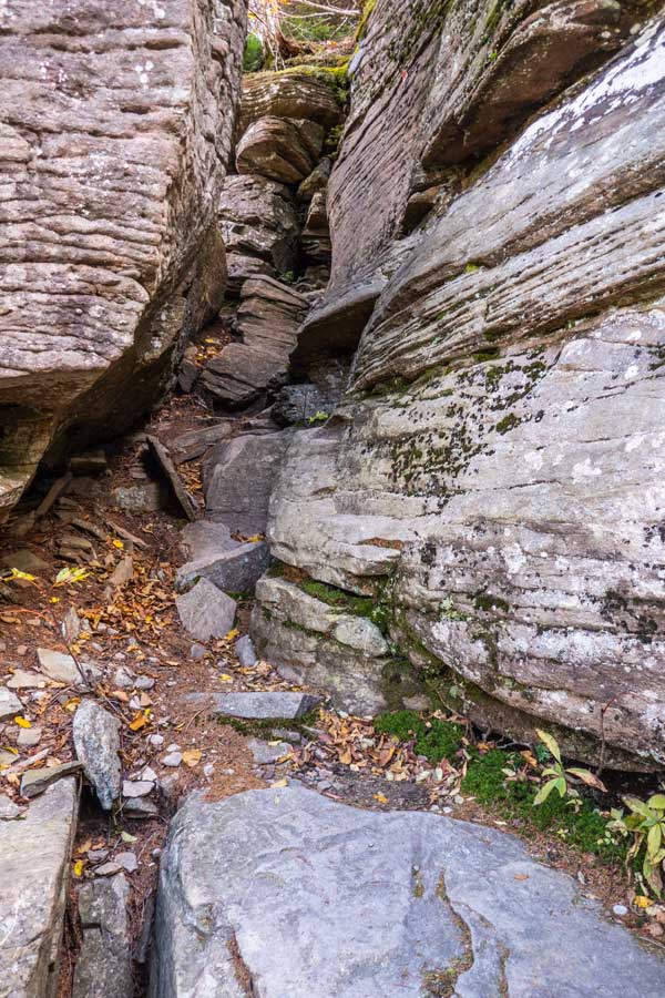 |
When you get near the top, you will encounter this cave. |
This is the last difficult section before you get to the Twin Mountain summit region. |
|
|
On the summit region of Twin Mountain (west peak) there is another view point that is almost overgrown. |
|
 |
 |
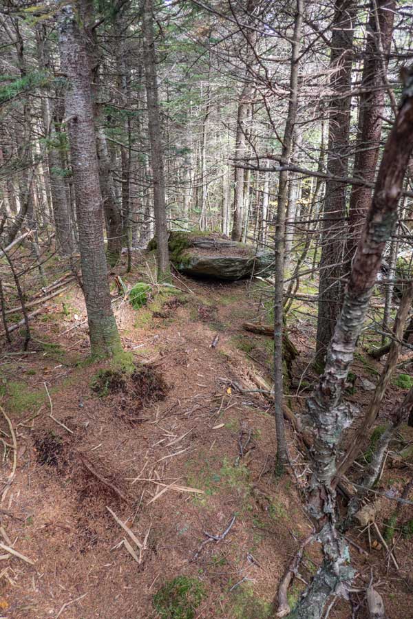
Many consider this rock to be the summit of Twin Mountain. |
This what the trail between the eastern peak and the western peak of Twin Mountain looks like. The mileage between the two summits of Twin Mountain is about 6/10 of a mile. The eastern summit is about 80 feet lower in elevation. |
|
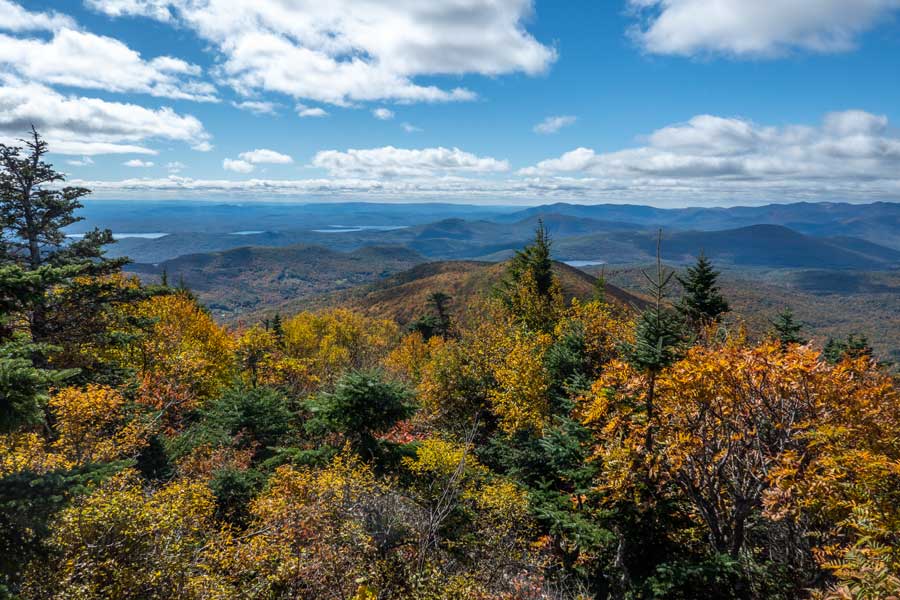 |
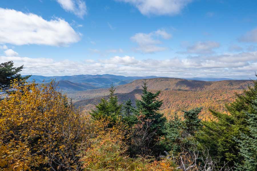
This is the southeastern peak of Twin Mountain. It has a 270 degree view. One of the best views in the Catskill Mountains. Once you are done, turn around had reverse your course back to your car in Roaring Kill Parking Lot. |
|
|
S E C T I O N S
|
W E A T H E R
|
O T H E R
|
