Richmond Mountain
|
|
|
|
Overview of this Hike: |
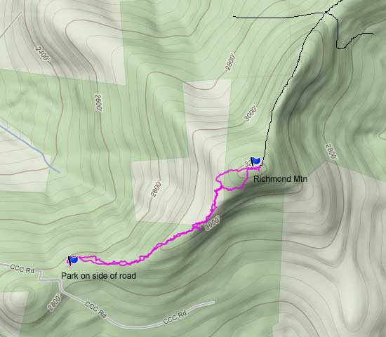
| Distance: 1.90 miles round trip from CCC Road off of Rt 32C. |
| Time: Average 1.75 hours round trip. |
| Elevation Gain: 87' feet from the Parking Area on DEC Pisgah Road to the summit of Pisgah Mountain. |
| Best Time to Hike: Anytime. |
| Difficulty: Easy |
| Peak Elevation: 2,912' |
| Access Methods: Foot and snowshoe |
| |
| Digital Mapper:
Topo
Terrain
Satellite |
|
Maps |
 |
|
|
Directions to Trail Head from New York State Thruway (Easist, not the shortest): |
| GPS Coordinates for the Parking Lot on the DEC Pisgah Road: N42 21.783 W74 16.905 - Elevation 2,826 feet |
| Take New York State Thruway to Exit 20 (Catskill). |
| Take a LEFT out of the NYS Thruway toll booths. |
| Take a RIGHT onto Rt 23 westbound |
| Go approximately 25 miles on Rt 23 (past Windham) |
| Take RIGHT on to North Settlement Road (Rt 19) |
| Go to the end of Rt 19 (approx 3 miles to Rt 10) |
| Take a LEFT onto Rt 10 |
| Go approximately 1/4 mile on Rt 10 |
| Take RIGHT onto Rt 32C |
| Go approximately 2-1/4 mile on Rt 32C - Paved road will change to a dirt road (dirt road is closed in the Winter - can't park there in the Winter). |
| At the top of the hill on the dirt road - Take a RIGHT and go up the hill . |
| Go approximately 1/5 mile. At the top of the hill (before you go down the hill) - park on the side of the road. |
| The dirt road is seasonal and is NOT plowed in the Winter. You cannot park on the paved section of Rt 32C in the Winter. |
|
Notes about this Hike |
This hike is a BUSHWACK hike. A number of years ago this was part of the Historic Trail. You can still find parts of the trail. But, today most of the trail is overgrown. If the trail was cleared, it would be a very nice trail. But, it appears very unlikely that the DEC will clear this trail any time in the near future. You also need to be warned about the prickers on this mountain. Richmond Mountain has one of the largest number of thick pricker patches in the Catskill Mountains. I would recommend that you wear long pants or gaiters. Or, you can hike it in the Winter if you can get access. This hike is less then a mile from the west side. The hike from the east is a little more then a mile, but is a better hike.
There is not a view from the summit. But, there is a ledge on the south side the mountain. Getting down to the ledge can be very difficult because the slope is very steep.
|
|
| Mile Point | Altitude | Notes |
| 0.00 | 2,826 | Parking area at the pass on CCC Road (GPS: N42 21.783 W74 16.905) |
| 0.90 | 3,223 | Trail Junction - Pass / Long Path to Mt Pisgah (GPS: N42 22.051 W74 16.235) |
| 1.80 | 2,826 | Summit of Richmond Mountain (GPS: N42 21.783 W74 16.905) |
|
|
Hike to Richmond Mountain |
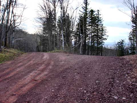 |
The road splits, but you can follow either road. When you get to the top of the hill, this is where you will park. |
|
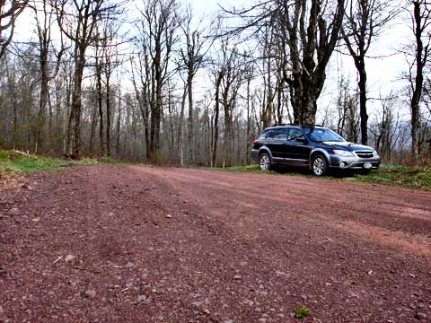 |
After parking at the top of the hill, you will need to walk across the street and find the old trail. I stick to the north side of the ridge while trying to find the trail.
The trail is no longer maintained, so you may need to do some bushwhacking and climb over old trees. |
|
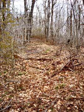 |
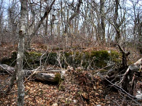
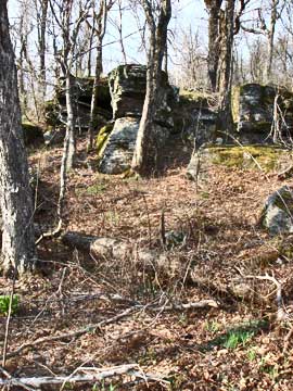
This is a picture of the trail.
At mile post 0.36, you will come to the pass. You will find the trail on the left side of these rocks. |
 |
|
 |
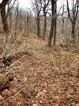
As you get closer to the top, it starts to level off. |
|
 |
On the north side of the summit is an old trail. It is LOADED with prickers. But, it is the best way to the summit. |
|
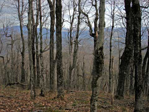 |
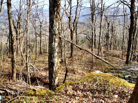
This is the view off to the south from the summit cap of Richmond Mountain. |
|
|
This is the summit of Richmond Mountain. You can continue towards Pisgah, or return back to your car. The route from Richmond to the Pisgah/Richmond pass is rough with prickers. Some section have thick blowdown. But, you will find old DEC trail markers. |
|
S E C T I O N S
|
W E A T H E R
|
O T H E R
|