Hike the Denman Loop Trail in Sundown Wild Forest |
 |
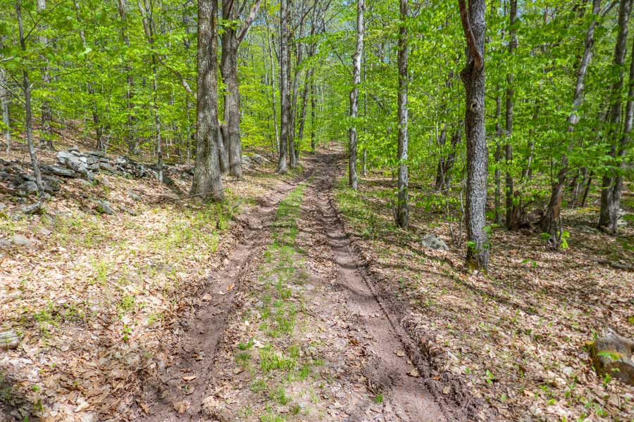
| Lower section of the Denman Loop Trail |
| |
| |
|
OVERVIEW |
| | Trail Name: |  Denman Hill Trail
 |
| | | |
| | | Type of Trail: | 69% DEC trails - 31% dirt & paved roads |
| | Parking Area : | Parking on corner of Moore Hill Road & Glade Hill Road |
| | Parking Area : | Numerous Parking spots on Moore Hill Road (dirt road section) |
| | Parking Area : | Parking at paved end of Moore Hill Road & Southern end of trail |
| | Camp sites: | None |
| | Access: | Snowmobile, Ski, Hiking, and Mountain Biking |
| | | |
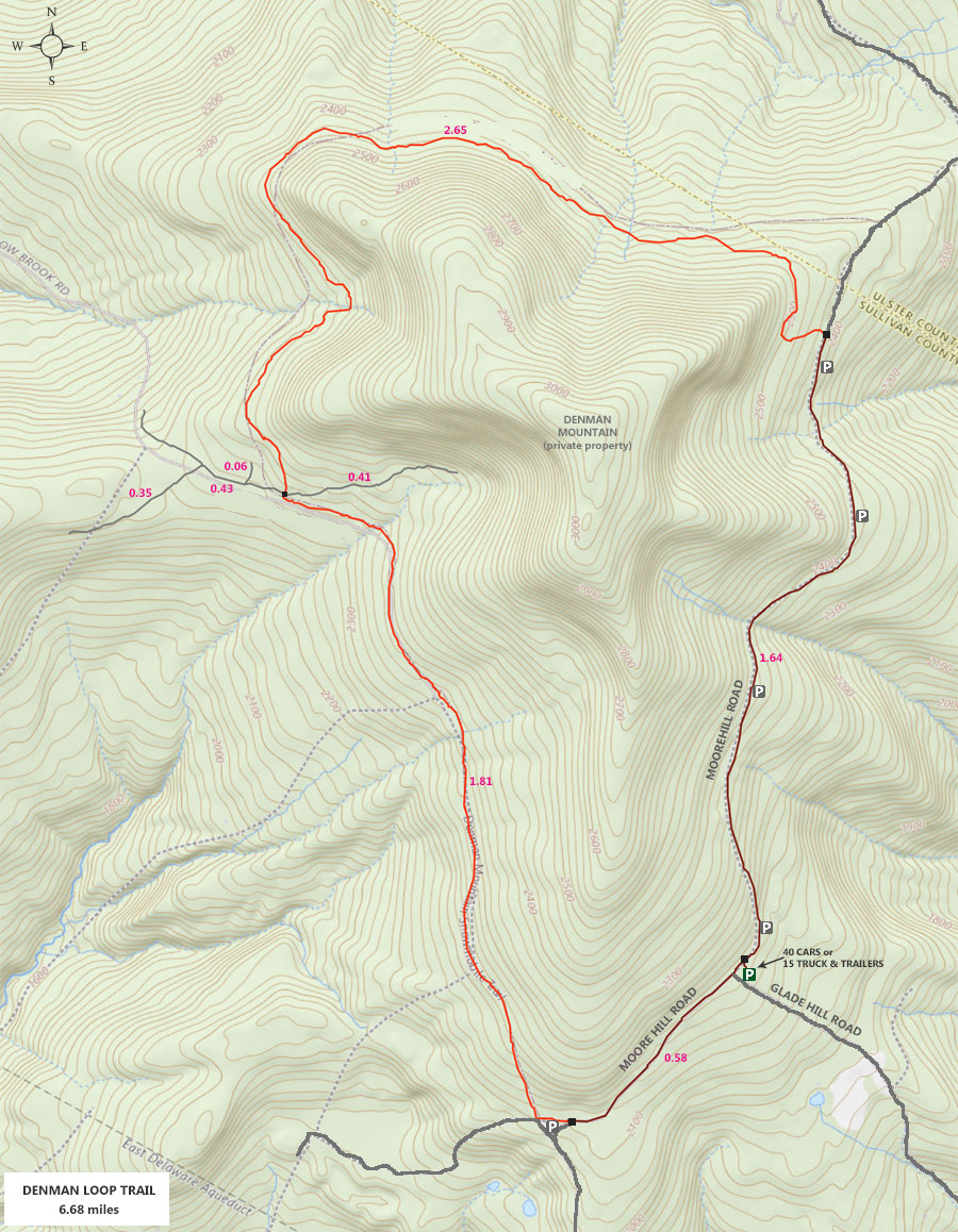
| | | Trail : | 6.68 miles (entire loop) |
| | Trail : | 2-track logging road |
| | Difficulty: | Easy |
| | | |
| | | USGS Map: | USGS Claryville Quad Maps |
| | | |
| | | DEC Trail Map: | DEC Sundown Wild Forest Map (free) |
| | | |
| | | Digital Mapper: |
Topo
Terrain
Satellite |
|
|
Maps for Denman Loop Trail in the Sundown Wild Forest |
 |
|
|
Notes About Hiking to Denman Loop Trail |
|
|
|
|
| | DIRECTIONS to Denman Loop Trail Trail Head from Exit 19 (Kingston) |
| | Moore Hill Road Parking Area WGS84 (DEC): 41.885633, -74.533 - Elevation is approximately 2,211 feet |
| | Moore Hill Road Parking Area Deg/Min/Sec: N41 53 08, W74 31 58 - Elevation is approximately 2,211 feet |
| | Moore Hill Road Parking Area GPS: N 41 53.138, W 74 31.980 - Elevation is approximately 2,211 feet |
| | Moore Hill Road Parking Area UTM: 18N 538745 4637194 - Elevation is approximately 2,211 feet |
| |
|
| | Get off New York State Thruway at Exit 19 (Kingston). |
| | Take a RIGHT out of the NYS Thruway onto Route 28 West. |
| | Go approximately 16.1 miles on Rt 28 West |
| | Take a LEFT onto Rt 28A just before Boiceville |
| | Go approximately 3.0 miles on Rt 28A |
| | Take a RIGHT onto Rt 42 in West Shokan |
| | Go approximately 16.2 miles on Rt 42 (Moore Hill Road) |
| | Take a RIGHT onto Sugar Loaf Road in Sundown |
| | Go approximately 0.4 miles on Sugar Loaf Road |
| | Take a RIGHT onto Glade Hill Road in Sundown |
| | Go approximately 1.9 miles on Glade Hill Road |
| | Denman Mountain Parking Area on corner of Glade Hill Road and Moore Hill Road |
| | Denman Mtn PA holds 40 cars or 15 trucks with trails |
| | Many places to park on the side of Moore Hill Road |
|
|
MILEAGE CHART from DEC PA to Denman Loop Trail |
| | Mile Point | Altitude | Notes |
| | 0.00 | 2,211' | Denman Mtn Parking Area |
| | 1.64 | 2,463' | Moore Hill Road to Denman Loop Trail (NO Registration Box) |
| | 2.65 | 2,368' | Upper Denman Loop Trail |
| | 6.10 | 2,143' | Lower Deening Loop Trail |
| | 6.68 | 2,211' | Moore Hill Road back to Denman Mtn Parking Area |
|
|
Hike to Denman Loop Trail in the Sundown Wild Forest |
 |
When you drive up Glade Hill Road, it will come to a road junction with Moore Hill Road. On the right corner is the Denman Mountain Parking Area.
|
|
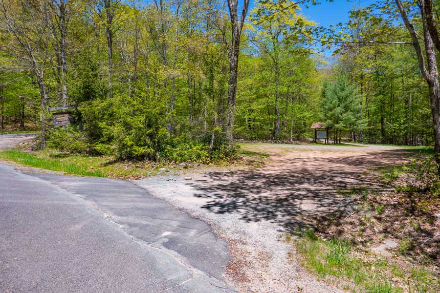 |
This is the Denman Mountain Parking Area. It holds approximately 40 cars OR 15 trucks with snowmobile trailers. In the non-Winter seasons this Parking Area is usually not crowded. There are another 20-30 parking spaces off the side of Moore Hill Road.
|
|
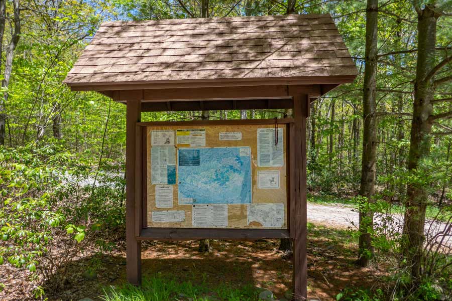 |
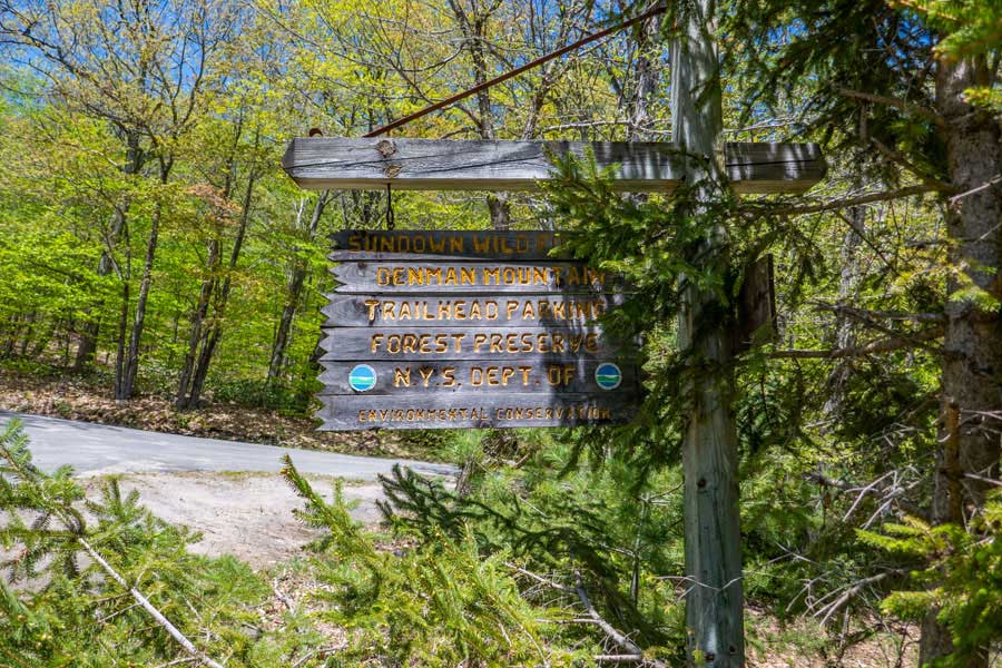
The Kiosk will have any important information that you might need during your visit here. The Kiosk is also the Trail Head for the Denman Loop Trail.
Most people hike it in a counter-clockwise direction. So, hike around the back of the Kiosk (road you see in the picture) to Moore Hill Road, and take a RIGHT.
|
|
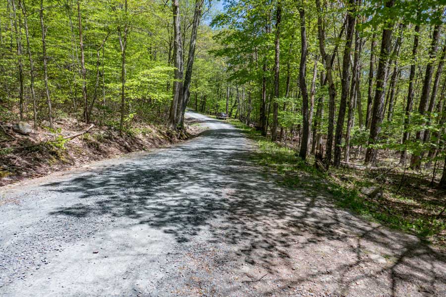 |
As you come out the Denman Mountain Parking Area and look north up Moore Hill Road, this is the view that you will have. You want to start walking north up Moore Hill Road.
|
|
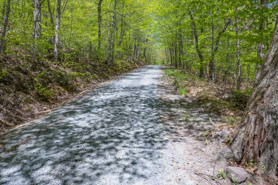 |
As you start to walk up Moore Hill Road, it will have a steady uphill incline. At a certain point you will reach a high point.
|
|
 |
Once you reach the high point on Moore Hill Road, the incline will start to go downhill. Eventually, it will level out.
|
|
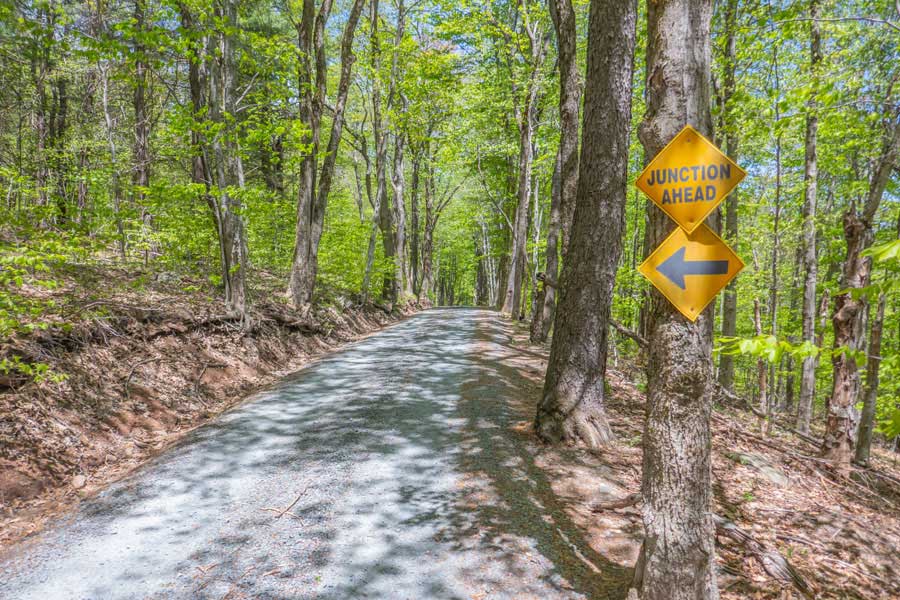 |
As you get about 1-1/2 miles up Moore Hill Road, you will see a sign on the tree about a "junction ahead". This tells you that you are about to leave Moore Hill Road, and start hiking on the Denman Loop Trail. So, look to the LEFT side of the road for the Trail.
|
|
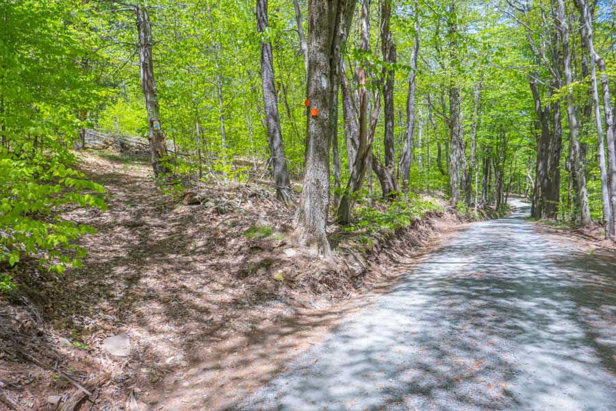 |
This is the entrance for the Denman Loop Trail. You will see orange-red trail markers on the trees to guide you along the trail. Take a LEFT off Moore Hill Road and start hiking up the double-track dirt road.
|
|
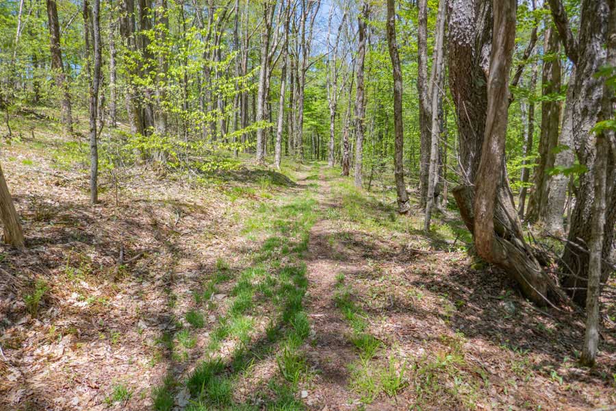 |
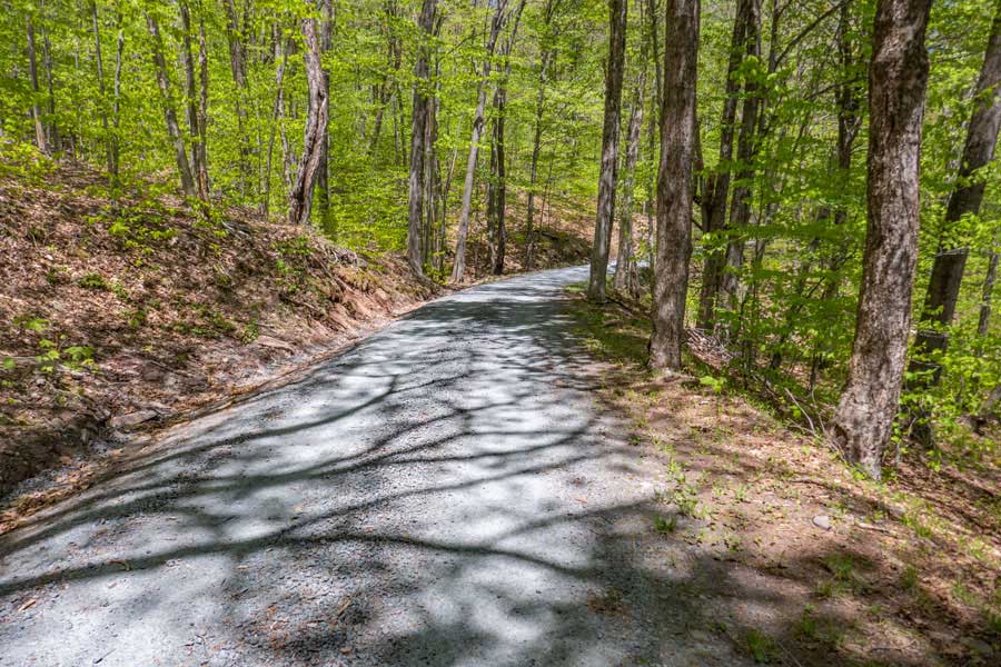
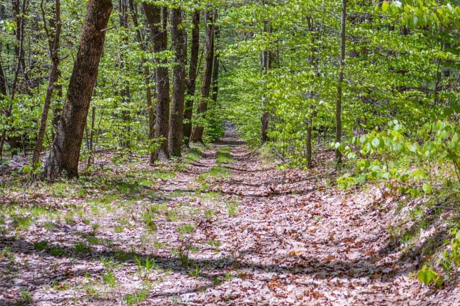
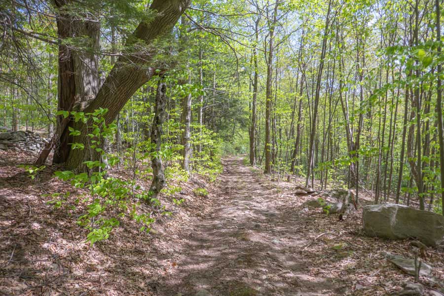
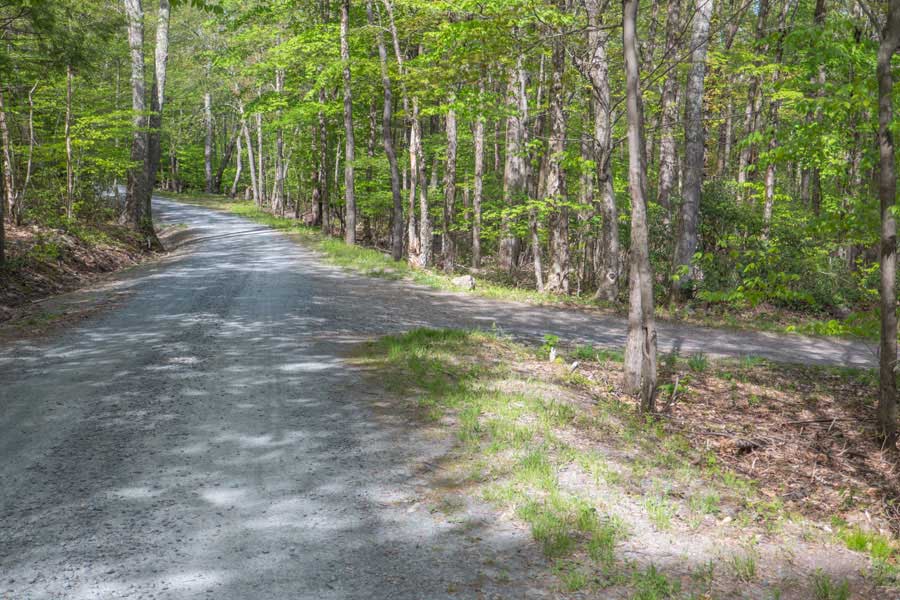
Most of the upper part of the Denman Loop Trail will look like what you see in the picture above. This section will go for 2.5+ miles until you reach a Trail Junction.
|
|
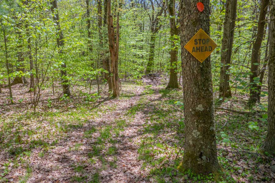 |
After hiking a little over 2-1/2 miles, you will see another sign on the tree. This is telling you that you are approaching a Trail Junction ahead.
|
|
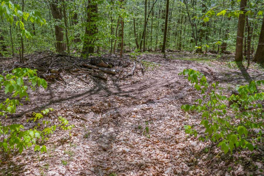 |
When you get to the middle of the 4-way Trail Junction, there are three ways to continue. One, STRAIGHT will take you to Lower Denman Loop Trail. Two, LEFT, will take you to a private home at the end of this road. Three, RIGHT will take you to the old homestead, and further down the road to other roads in the region.
|
|
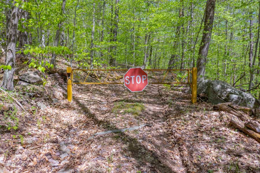 |
While in the middle of the 4-way Trail Junction, and you look left, you will see a DEC gate. Most of the road is owned by New York State. But, as you approach Denman Mountain, it will become private property. The entire summit of Denman Mountain is private. Additionally, there is a home at the end of this road.
|
|
 |
If you look RIGHT, this is call the Bungalow Brook Road. It will take you to the Old Homestead that once was comprised the Denman Mountain. Today there is only a foundation and apple orchard. Another side road on the Bungalow Brook Road is a DEC owned road that takes you to land owned by a hunting club (no trespassing), and finally, if you continue down the road, it will take you to other roads. Some of which are on private property.
|
|
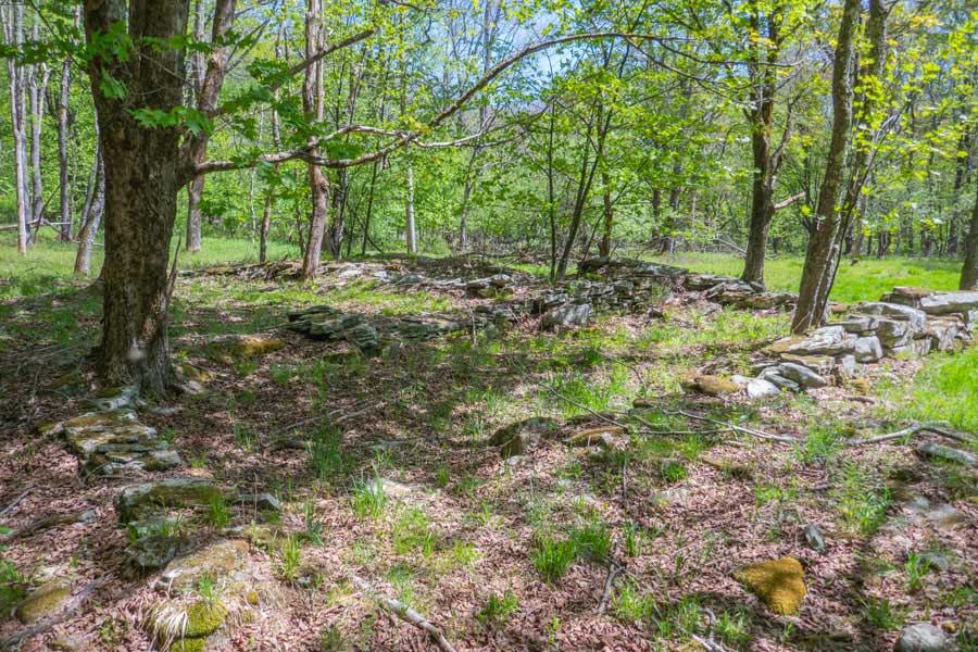 |
This is the stone foundation of the old homestead of Denman Mountain. If you take a right off Denman Loop Trail, and go down Bungalow Brook Road a short ways, you will see a driveway on the RIGHT. About 350' up the driveway is the Old Homestead.
|
|
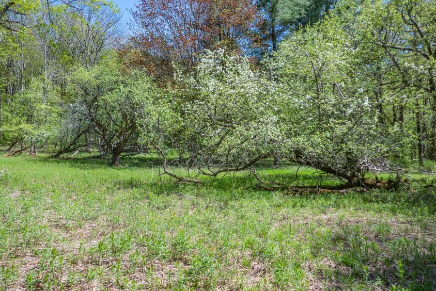 |
Also on the old homestead is an Apple Orchard that still produces apples. In September, there are apples on the trees. Generally, most older apple trees do not produce the greatest apples. But, still edible.
|
|
 |
If you continue STRAIGHT, it will take you down the lower section of the Denman Loop "Trail. After you go past the 4-way trail junction, the road will turn LEFT. Go LEFT.
|
|
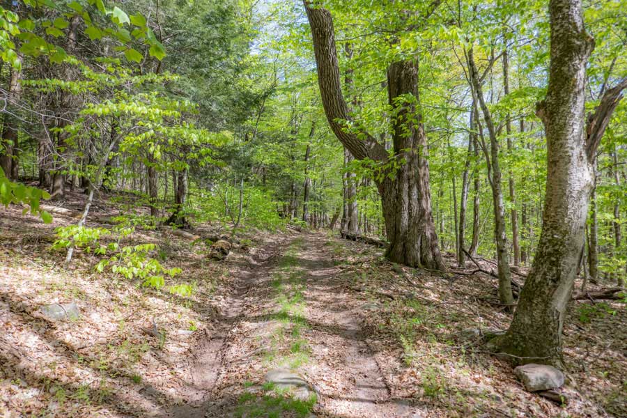 |
As you get further down the lower section of the Denman Loop Trail, you will see a very large tree on your right. It probably stood on the edge of a field used by the owners of the Old Homestead.
|
|
 |
As you go a little further, you will see another large tree on your left.
|
|
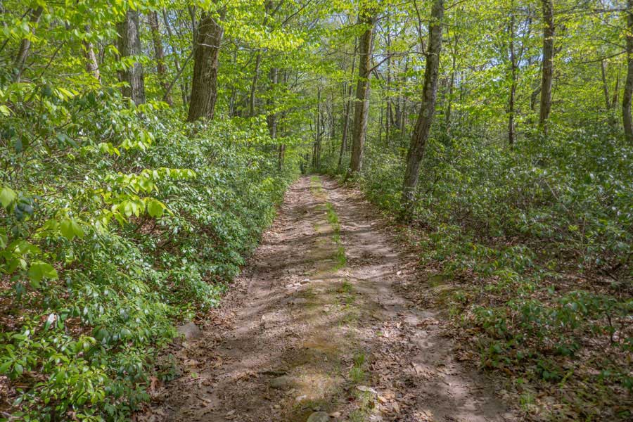 |
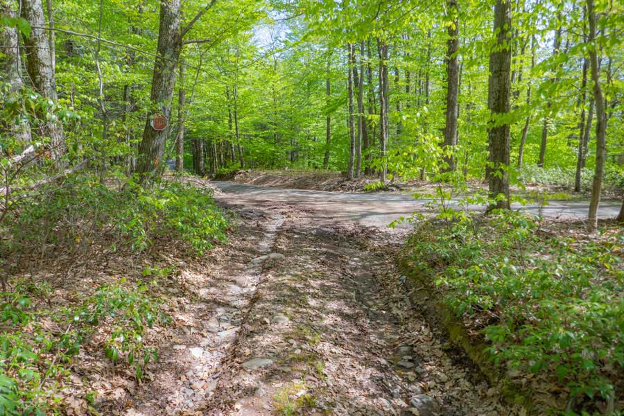
Before you get to the end of the lower section of the Denman Loop Trail, you will travel through some Mountain Laurel on both side of the road. Mountain Laurel is very nasty and difficult to hike through.
|
|
 |
You are almost at the end of the Lower Section of the Denman Loop Trail. The road ahead is Moore Hill Road. If you look LEFT, you will see a short continuation of the lower section of the Denman Loop Trail. Go LEFT.
|
|
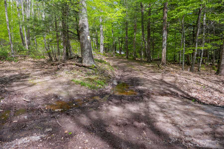 |
You can take either the left or right road. Both go to the same places. Often people park their car on the side of these dirt roads.
|
|
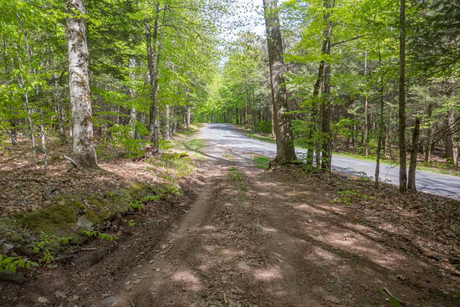 |
This is the end of the lower section of the Denman Loop Trail. The paved road is Moore Hill Road. Continue STRAIGHT down Moore Hill Road.
|
|
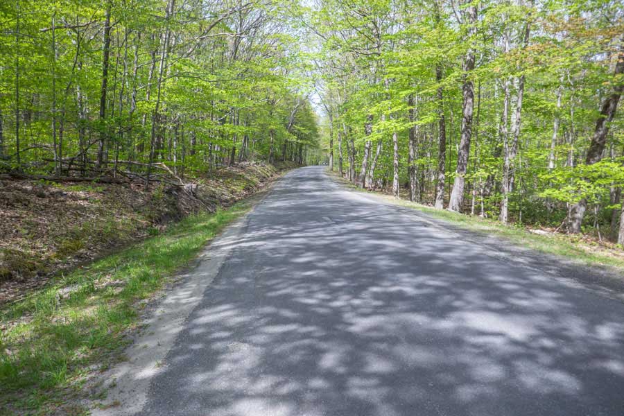 |
You want to walk up the side of Moore Hill Road about 6/10 of a mile.
|
|
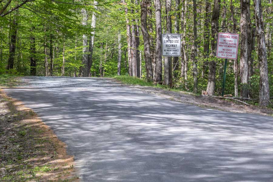 |
You will come to a road junction. Right will take you down Glade Hill Road. Continue STRAIGHT on Moore Hill Road. Note, that Moore Hill Road is only open to car traffic between April 1st and December 1st.
|
|
 |
After about 100' past the road junction for Glade Hill Road and Moore Hill Road, you can take a RIGHT back into the Denman Mountain Parking Area. Your hike is over.
|
|
|
S E C T I O N S
|
W E A T H E R
|
O T H E R
|