Hike the Vernooy Kill Loop |
 |
| |
| |
|
OVERVIEW |
| | Type of Trail: | 93% DEC Trails/Roads - 7% Public Roads |
| | Parking Area : | Dymond Road or Trails End Road Parking Area - 10/20 cars |
| | Parking Area : | If is difficult to drive from Trails End Road, then go to Dymond Road Parking Area |
| | Camp sites: | (1) Near the Trails End Road Parking Area |
| | Camp sites: | (1) at road junction of unmarked road - North |
| | Camp sites: | (1) at road junction of unmarked road - South to Upper Balsam Swamp |
| | Camp sites: | (1) near Vernooy Kill Falls |
| | Winter Access: | Dymond Road Parking Area is Plowed. |
| | Winter Access: | Trails End Road Parking Area is NOT Plowed. |
| | Winter Access: | When snow is present, skis, snowshoes, snowmobile |
| | | |
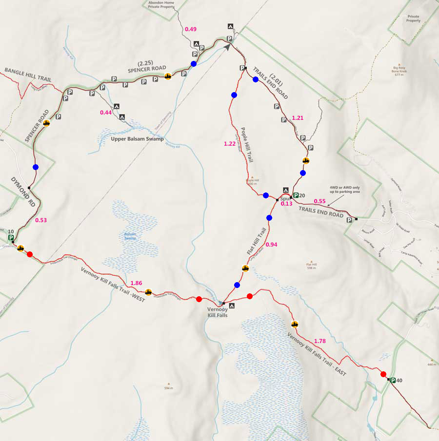
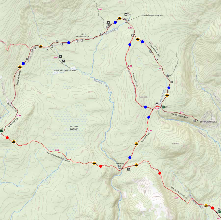
| | | Trail : | 7.31 miles - BLUE Trail Markers |
| | Access Methods: | Foot, ski, snowmobile and Snowshoe |
| | Best Time to Hike: | Any time of year |
| | Difficulty: | Easy |
| | | |
| | | USGS Map: | USGS Peekamoose Quad Maps |
| | | |
| | | USGS Map: | USGS West Shokan Quad Maps |
| | | |
| | | USGS Map: | USGS Rondout Reservoir Maps |
| | | |
| | | USGS Map: | USGS Kerhonkson Quad Maps |
| | | |
| | | DEC Trail Map: | DEC Sundown Wild Forest Map (free) |
| | | |
| | | Digital Mapper: |
Topo
Terrain
Satellite |
|
|
Maps for Sundown Wild Forest in Vernooy Kill Falls Region |
 |
|
 |
|
|
Notes About Hiking the FLAT HILL TRAIL to VERNOOY KILL FALLS |
NOTICE: The Sundown Wild Forest and Sundown State Forest both have a significant population of Timber Rattlesnakes. Most of the roads and trails are wide, and most hikers never encounter them. If you plan on hiking off the trail, do so in the Spring, Winter, or Fall when the temperature is below 50F. Most rattlesnakes will go into their den once temperatures are below 50F. Getting bit by a Timber Rattlesnake is a serious medical event.
This trail runs below the Balsam Swamp. There is a rattlesnake den near the trail. So, it is important that you keep watch for rattlesnakes on this trail.
PARKING AREAS AVAILABLE:
Trails End Road DEC Parking Area requires a AWD and 4WD vehicles. Holds 20 cars. Not plowed in Winter.
Upper Cherrytown DEC Road Parking Area can handle any type of vehicle. Holds 40 cars. plowed in Winter.
Dymond Road Parking Area (in Greenville) can handle any type of vehicle. Holds 10 cars. plowed in Winter.
Individual Parking spots on the side of Spencer & Trails Road. Holds 1-4 cars. Not plowed in the Winter.
|
|
|
| | DIRECTIONS to TRAIL HEAD ROAD from Exit 19 (Kingston) |
| | Trails End Road Parking Area WGS84 (DEC): 41.88405,-74.360567 - Elevation is approximately 1,805 feet |
| | Trails End Road Parking Area Deg/Min/Sec: N41 53 02, W74 21 38 - Elevation is approximately 1,805 feet |
| | Trails End Road Parking Area GPS: N 41 53.043, W 74 21.634 - Elevation is approximately 1,805 feet |
| | Trails End Road Parking Area UTM: 18N 553052 4637100 - Elevation is approximately 1,805 feet |
| |
|
| | Take New York State Thruway to Exit 19 (Kingston). |
| | Take a RIGHT out of the NYS Thruway to Route 28 West. |
| | Go approximately 0.4 miles on Rt 28 West |
| | Take a RIGHT off the ramp for Rt 209 South |
| | Go approximately 11.6 miles on Rt 209 South |
| | Take a RIGHT onto Rt 2 (Krumville) |
| | Go approximately 8.2 miles on Rt 2 |
| | At the End of Rt 2 - Continue onto Rt 3 |
| | Go approximately 1.7 miles on Rt 3 |
| | Take a RIGHT onto Sundown Road (which turns into Trails End Road) |
| | Go approximately 2.5 miles |
| | The two-lane road turns into a one-lane road when you reach DEC land |
| | Go approximately 0.55 miles up the one-lane dirt road. |
| | DEC Parking Area is on the RIGHT after making a 90 degree turn to the right. |
|
|
MILEAGE CHART from DEC PA to VERNOOY KILL LOOP |
| | Mile Point | Altitude | Notes |
| | 0.00 | 1,805' | DEC Parking Area - Trails End Road |
| | 0.05 | 1,804' | DEC Registration Box on Spur Trail to Flat Hill Trail and Pople Hill Trail. |
| | 0.06 | 1,805 | Campsite |
| | 0.13 | 1,809' | Trail Junction to Pople Hill Trail. |
| | 1.35 | 1,956' | Trail Junction to Trails End Road. |
| | 1.60 | 1,924' | Road Separation to Trails End Road -> Spencer Road |
| | 3.85 | 2,028' | Beginning of Spencer Road. |
| | 4.38 | 2,011' | Dymond Road TH for Vernooy Kill Falls Trail (West) |
| | 6.24 | 1,702' | Vernooy Kill Falls. |
| | 7.18 | 1,809' | Trail Junction to Pople Hill Trail. |
| | 7.31 | 1,805' | DEC Parking Area - Trails End Road | .94+
|
|
Hike to Vernooy Kill Loop from TRAILS END ROAD in the Sundown Wild Forest |
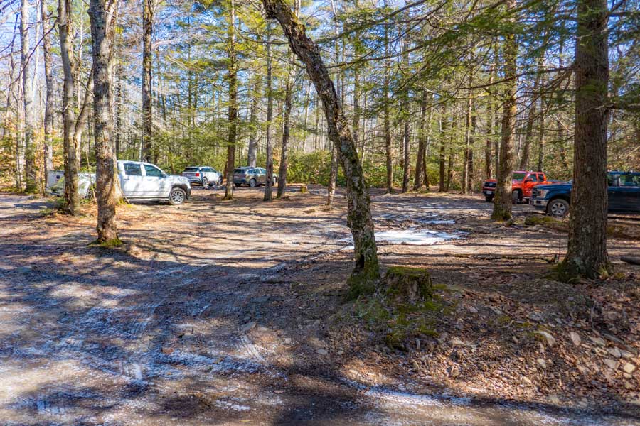 |
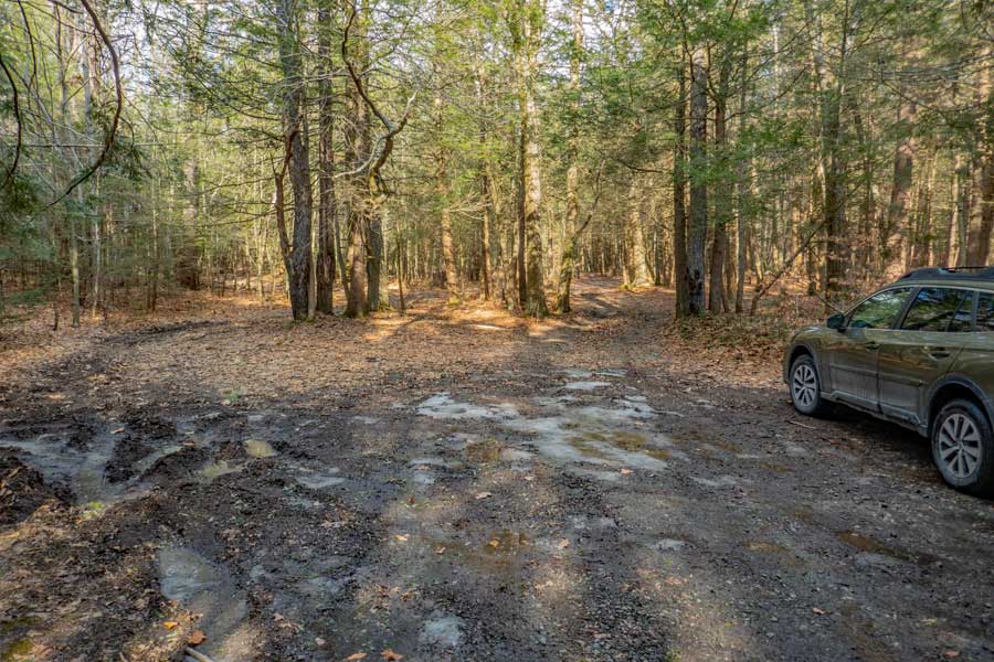
This is the DEC Parking Area on Trails End Road. It is 0.55 miles up the hill. It can hold approximately 20 vehicles. The road from Sundown Road to Trails End Road goes up a fairly steep road with water drainage cut into the road. The water drainage spots are cut into the road fairly deep. Generally, only AWD and 4WD vehicles can get up the hill. If you are concerned about the water drainage cuts, you can come in from Spencer Road instead of from Sundown Road. The road from Spencer Road to the Parking Area can be done with a regular vehicle. You can easily park at the Dymond Parking Area with any type of car.
|
|
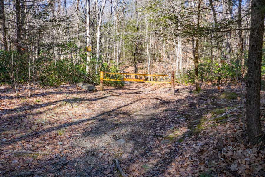 |
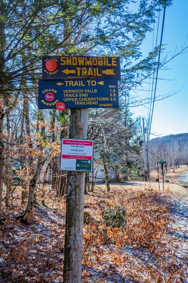
When you walk across the road, you will see this DEC gate. This is the Trail Head for Flat Hill Trail. You will take this small spur trail for 0.13 miles to get to Pople Hill Trail.
If you would prefer to skip the Pople Hill Trail, you can just continue to walk up Trails End Road. It is about 0.14 miles shorter then taking the Pople Hill Trail.
|
|
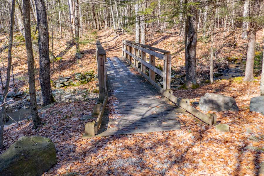 |
This bridge is less then 100' after the DEC gate. It goes over the Sapbush Creek on the Flat Hill Trail |
|
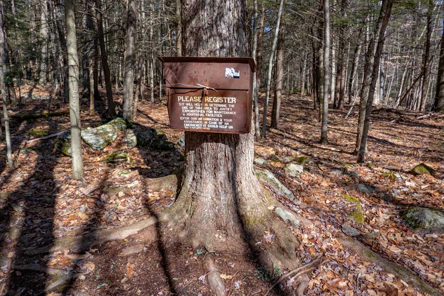 |
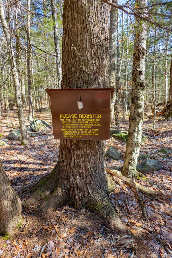
This is the DEC Registration Box for Flat Hill Trail, as well as, for Pople Hill Trail. Registering helps Rangers find you if you get lost or hurt. And, it help allocate money for work done in this forest. It is located 250' from the Trail Head.
|
|
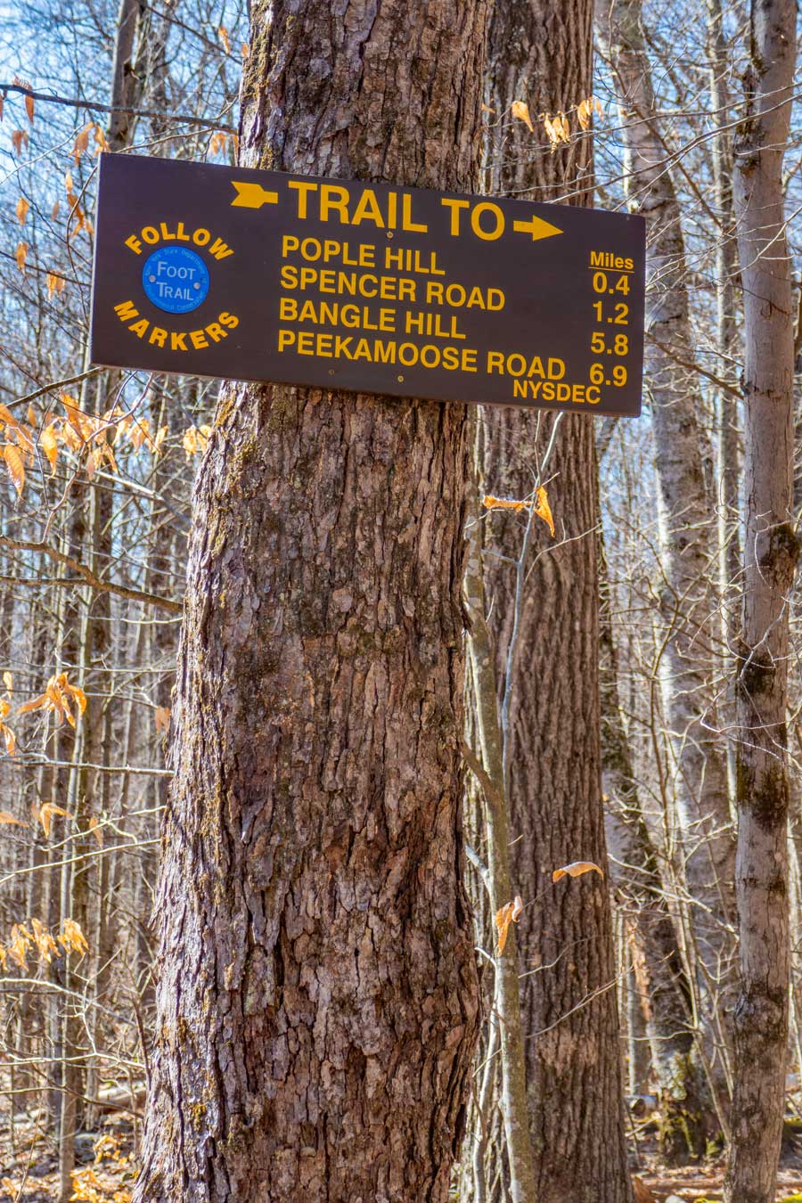 |
This is the sign at the junction on Flat Hill Trail and a side trail for Pople Hill Trail.
You want to take a RIGHT onto Pople Hill Trail. The picture on the right shows you what the beginning of Pople Hill Trail looks like.
Straight would take you to Vernooy Kill Falls if you want to hike the loop in reverse. Pople Hill Trail is also part of the Long Path. This Trail Junction is located 0.13 miles from the Trail Head and the Trails End Road Parking Area.
 |
|
|
 |
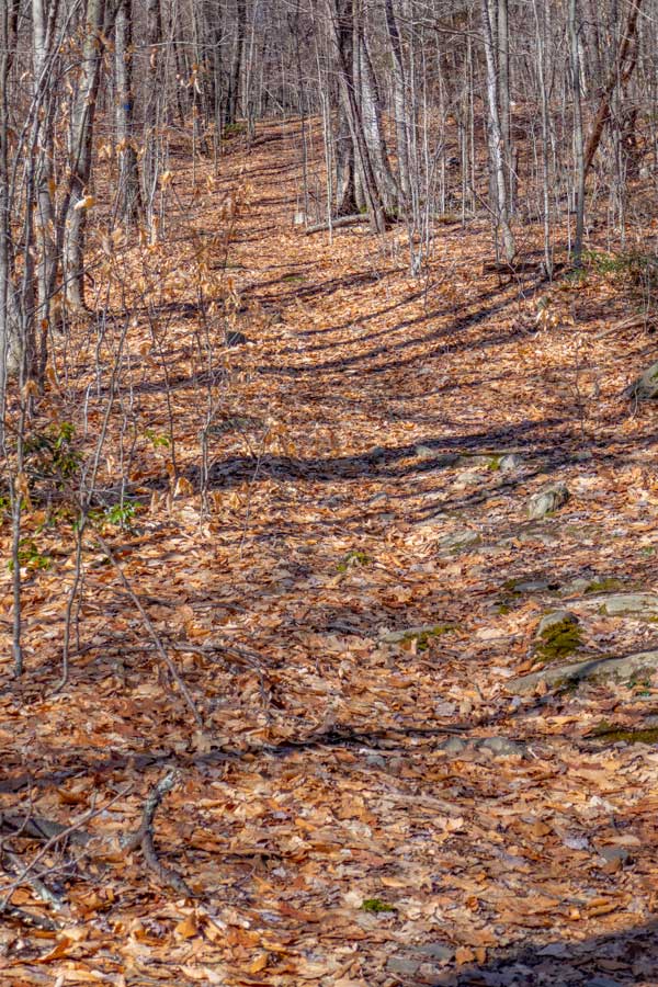
This is what the Pople Hill Trail looks like. It has a slight uphill incline to it.
|
|
 |
As you can see from this picture, the trail is pretty consistent in it's view and incline. It is also part of the Long Path.
|
|
 |
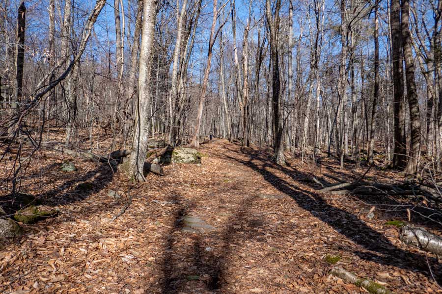
Once you reach the end of Pople Hill Trail, you will come back to the Trails End Road. Trails End Road is considered a Trail. You want to go LEFT up Trails End Road. You will see DEC BLUE Trail Markers on the trees.
|
|
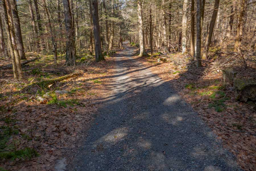 |
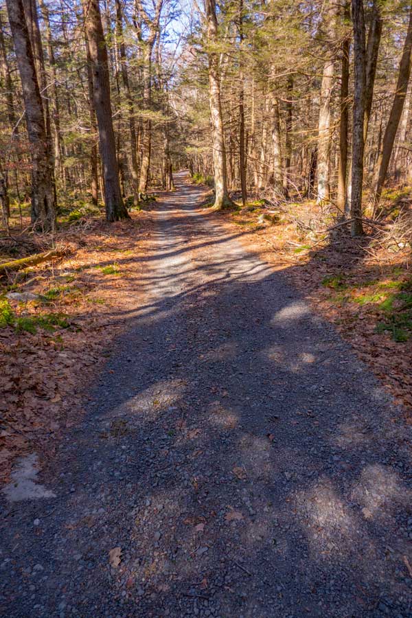
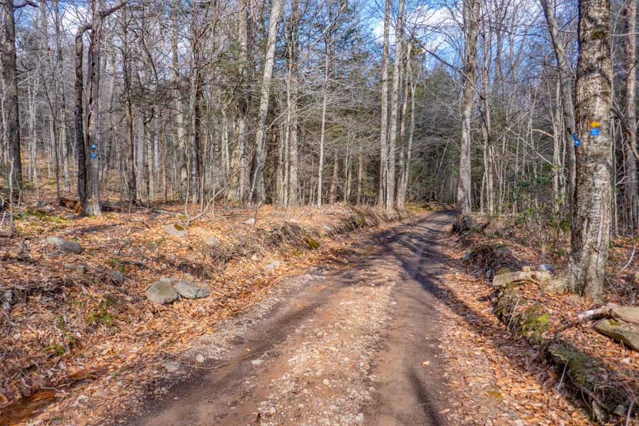
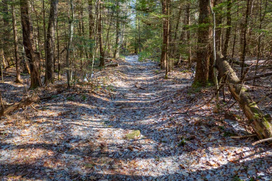
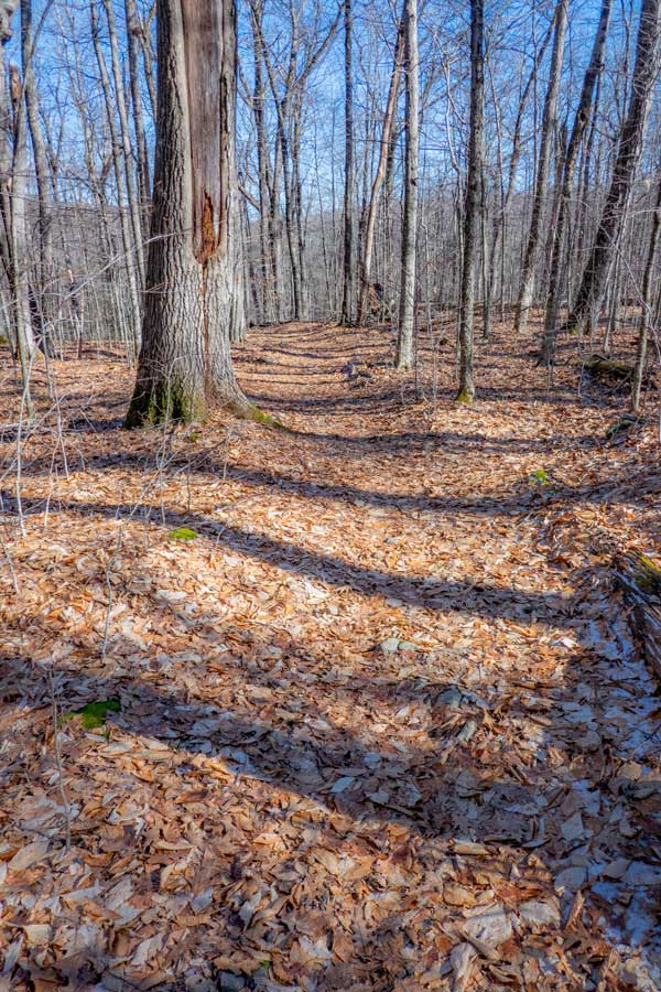
This is the typical view of Trails End Road. A majority of the road has conifer forest. You should see BLUE Trail Markers on the trees.
|
|
 |
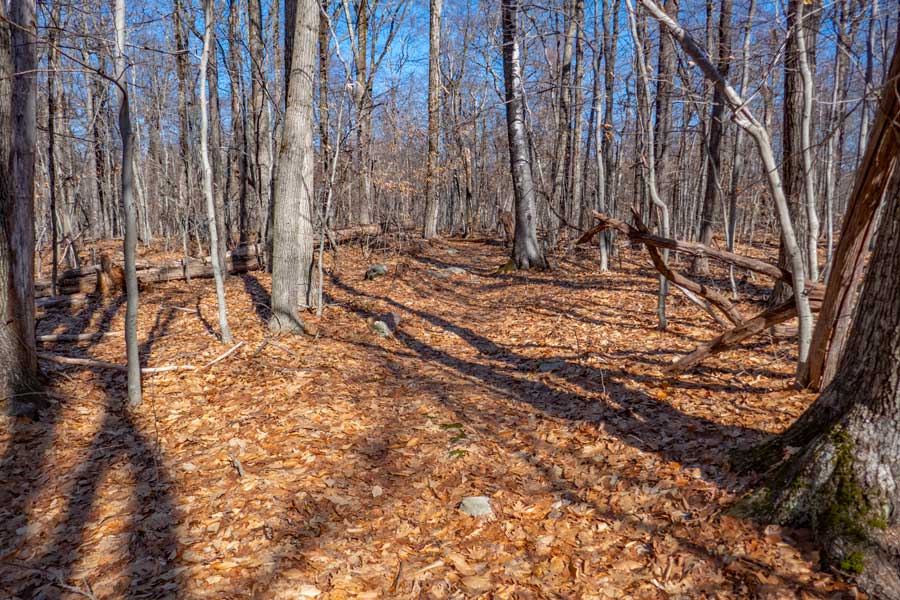
This is the entrance to the campsite that is near Vernooy Kill Creek. The Vernooy Kill Creek is where Trails End Road ends, and Spencer Road begins. The road on the right goes to a private home. Please do NOT disturb them or go over the bridge to their home.
|
|
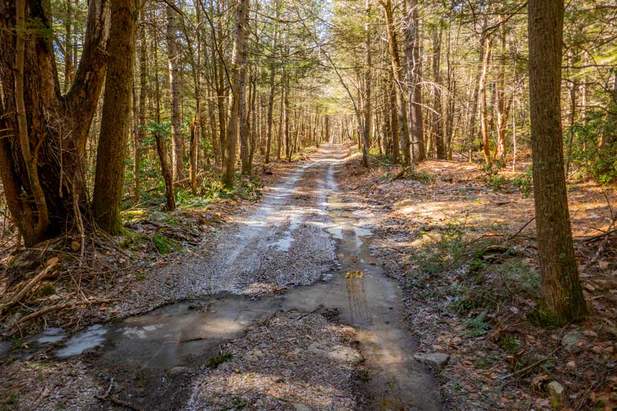 |
This is what the second half (end) of Spencer Road looks like. This end of Spencer Road runs through Conifer Forest.
As you drive down Spencer Road, you will see a small road on your right. There is a campsite there, and the road leads past the campsite goes up to a private home.
A little further down the road you will cross over another creek. On your left is the only road that goes into the center of the loop. You CANNOT drive down this road. It is illegal. Furthermore, there are deep ruts in the road over a foot deep. 4WD trucks have gotten stuck in the ruts. This road goes down to the Upper Balsam Swamp. There are two campsites there. Around this point on Spencer Road, the conifer forest will end.
|
|
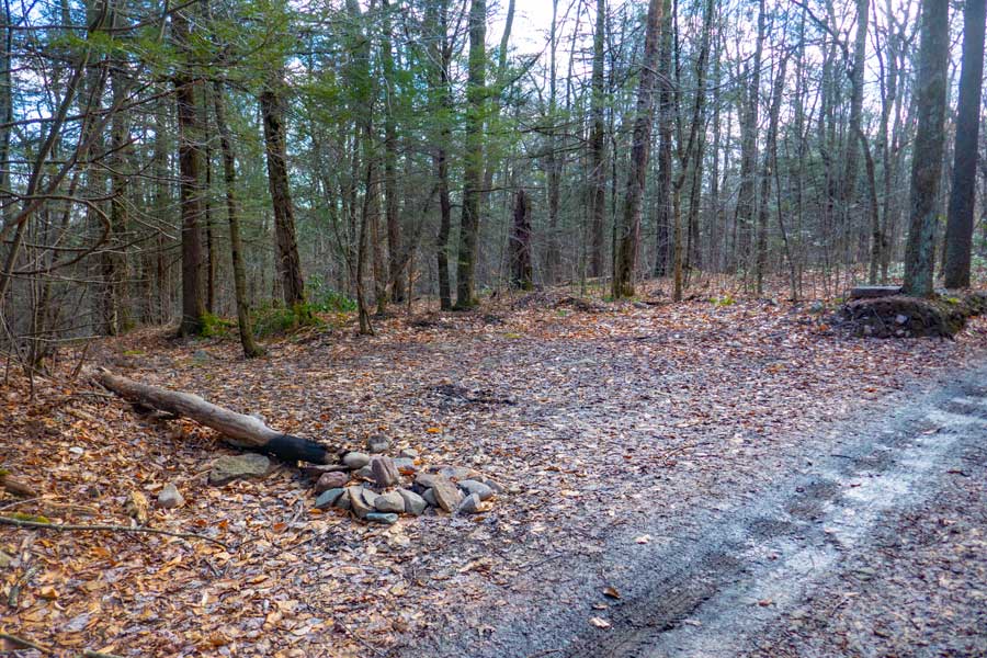 |
This is a parking area that holds around 3 cars. Shortly after this PA, there is a trail junction to Bangle Hill Trail.
After this parking area, Spencer Road will start to turn to the left.
|
|
 |
When you are coming from Trails End Road, the entrance to Bangle Hill Trail is almost impossible to find. So, if you think you have gone past it, you may need to turns around and come back. Then you can easily see the trail markers on the trees. Many people cannot find the trail junction because the trail markers are on the wrong side of the tree.
Not far beyond this trail junction for Bangle Hill Trail, the land on both sides of the road become private land. You should see No Trespassing signs on both sides of the road. This is a public road, so keep going.
|
|
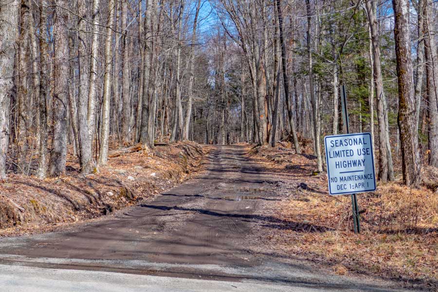 |
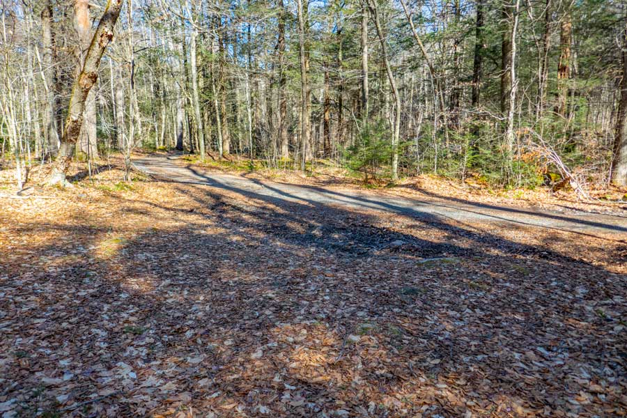
This is the beginning of Spencer Road. It comes out onto Dymond Road. Both Spencer Road and Trails End Road are NOT plowed in the Winter, and snowmobiles are allowed on both roads. The roads does receive maintenance between April 1st and December 1st.
When you come to this point you want to take a LEFT onto the paved Dymond Road. You will walk approximately a half mile on the paved Dymond Road. For most of the walk on Dymond Road, the land on both sides of the road are owned by New York State DEC.
|
|
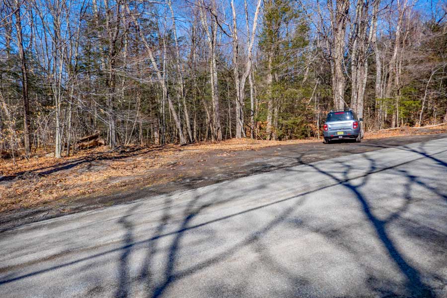 |
This is the DEC Parking Area on Dymond Road. It is located in Greenville. It is sometimes referred to as Greenville Parking Area or Dymond Road Parking Area. The land on both sides of the road are on NYS Public land.
|
|
 |
When you walk across the road, you will see a Trail. This is the Vernooy Kill Falls Trail (WEST Branch). The trail to Balsam Swamp is a two-track trail. Once past Balsam Swamp, it turns into a one-track trail. You need to be aware that this trail goes by the bottom of Balsam Swamp. There are Timber Rattlesnake dens around Balsam Swamp. Most people never see one. But, from time-to-time people do see one. They are as thick as a man's arm. Fairly docile, but will strike if you step on them, or get close to them. They blend in well to the trail, and can be hard to see. Getting tagged by one is a serious medical event.
It is 1.86 miles to Vernooy Kill Falls from this trail head.
|
|
 |
 |
The picture on the left shows a DEC Trail Sign. Also, note the the sign below that. It has the DEC Emergency Number on it. Take a picture with your cell phone in case you have an emergency or get lost.
Within 50' you will see a DEC Registration Box. Please register. If you get lost or injured that information can be important to help the DEC Rangers find you. |
|
 |
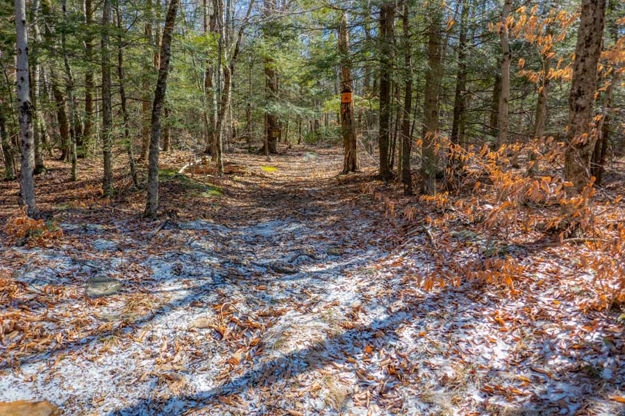
The first part of the hike is a double-track trail. When you reach the Balsam Swamp, there is a small muddy section. Thereafter the trail gains a little elevation and is dry. And the trail changes to a single-track trail.
|
|
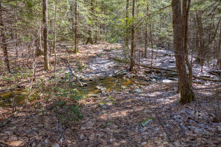 |
There is a small stream crossing that is not deep and easy to get across. In most cases it is dry in the summer months.
|
|
 |
Once you get past Balsam Swamp, the elevation will go uphill and the trail will turn into a single-track trail. It is usually a dry trail at this point.
|
|
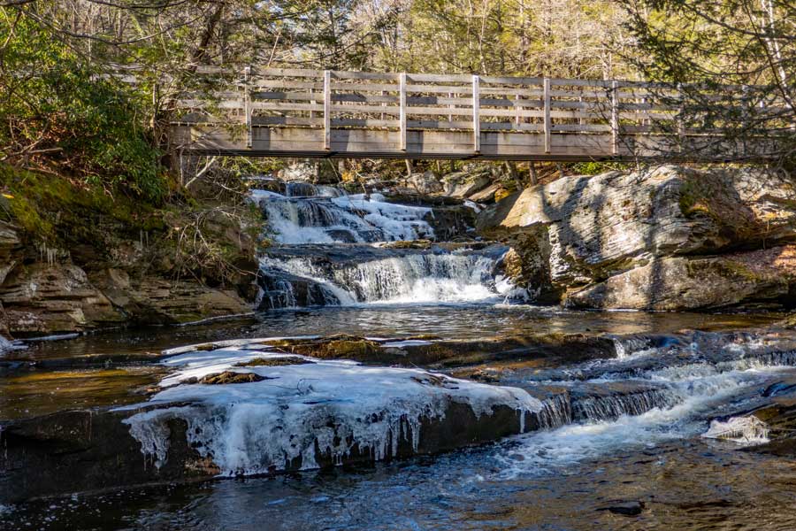 |
This is lower part of Vernooy Kill Falls. This bridge crosses in the middle of the 49' waterfall.
|
|
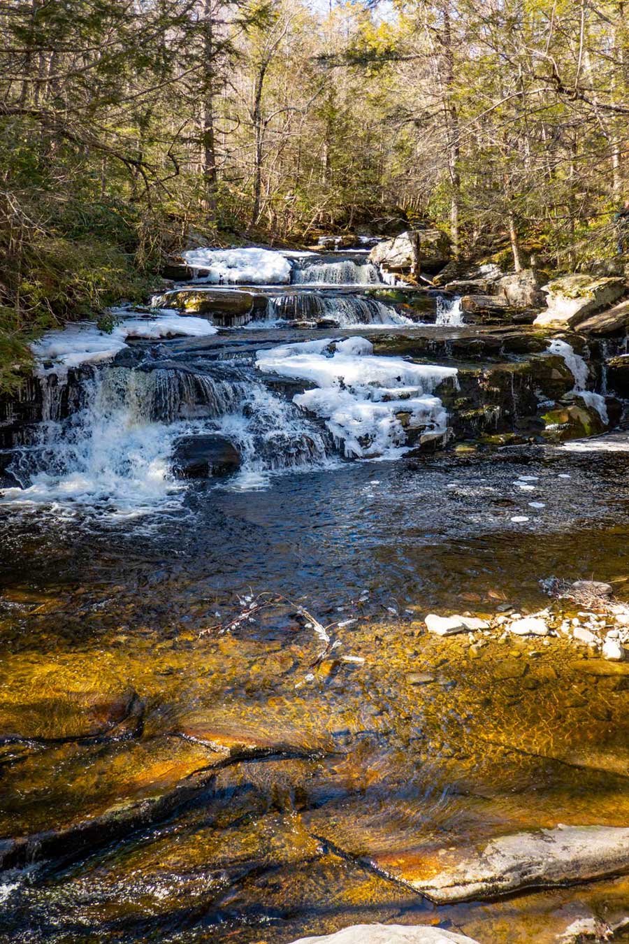 |
This picture was taken from the bridge over the Vernooy Kill Waterfalls. The picture shows the upper part of the Vernooy Kill Waterfalls.
If you decide to walk around the waterfall, beware that Timber Rattlesnakes like to be near water, so watch where you are walking.
The forest below the waterfalls is highly populated with Timber Rattlesnakes. So, if you decide to start exploring the forest and creek below the waterfall, you are likely to encounter Timber Rattlesnakes. There is also a good population of Timber Rattlesnakes around the Balsam Swamp.
|
|
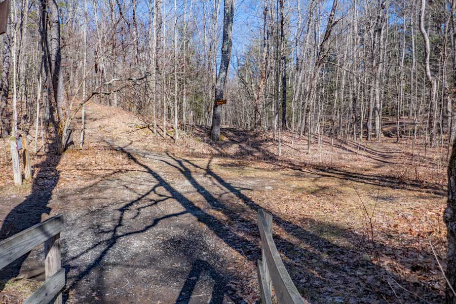 |
Once over the bridge, the Flat Hill Trail on the LEFT will take you to Trail End Road in a little over a mile. You want to go LEFT up the Flat Hill Trail.
Once over the bridge, the trail on the RIGHT (Vernooy Kill Falls Trail - East Branch) will take you to Upper Cherrytown Parking Area.
The Camping Area is located approximately 250' down the Vernooy Kill Trail (EAST Branch) on the RIGHT side of the trail.
|
|
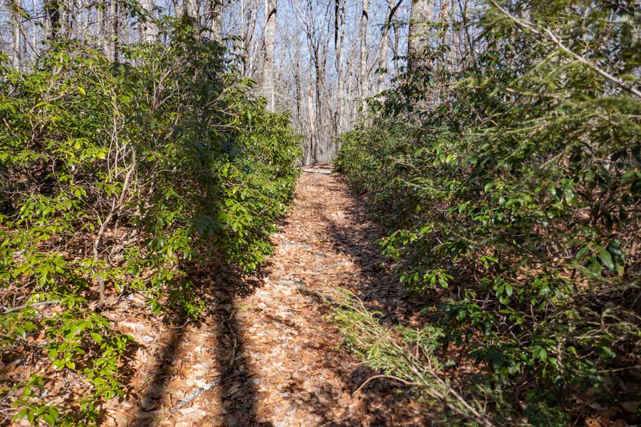 |
The Flat Hill Trail has a little bit of Mountain Laurel on it. Mountain Laurel is fairly common in the Sundown Wild Forest. It is very difficult to bushwhack through.
|
|
|
This is the DEC Registration Box. Please sign out if this is where you originally registered. The Trails End Road Parking Area is located 250' from the Registration Box.
|
|
|
Your hike is over. You can drive back in the opposite direction you came to the Parking Area from.
|
|
|
S E C T I O N S
|
W E A T H E R
|
O T H E R
|