Hike Giant Ledge & Panther Mountain from Rt 47 |
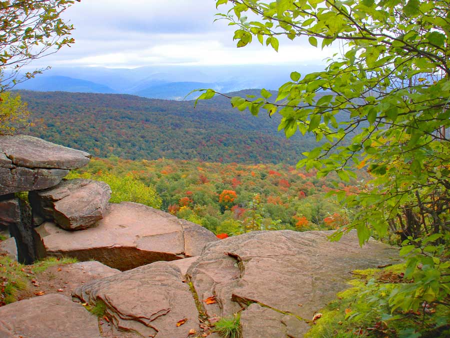 |
| View from Giant Ledge |
| |
| |
|
OVERVIEW |
| | Type of Trail: | 100% DEC trails |
| | Trail Name: | Phoenicia East Branch Trail
 (Rt 47 to TJ to Giant Ledge)
 |
| | Trail Name: | Giant Ledge - Panther Mtn - Fox Hollow Trail
 (TJ to Giant Ledge to Panther Mtn
 |
| | Parking Area : | Parking at Giant Ledge Parking Area |
| | Winter Access: | Parking Area is Plowed in the Winter |
| | Camp sites: | 4 Camp Site locations |
| | | |
| | | Trail Length: | 3.20 miles (one-way) or 6.40 (round-trip) |
| | Trail Type: | single-track trail |
| | Hiking Time: | Average 3-5 hours round trip |
| | Summit Elevation: | 3,725' (A) |
| | Elevation Gain: | Gain of 1,556 feet |
| | Views : | Many spots on Giant Ledge and Panther Mountain |
| | Difficulty: | Moderate |
| | Access Methods: | Foot & snowshoe |
| | |
| | | USGS Map: | USGS Shandaken Quad Maps |
| | |
| | | USGS Map: | USGS Phoenicia Quad Maps |
| | |
| | | DEC Trail Map: | DEC Slide Mountain Wilderness Map (free) |
| | | |
| | | Digital Mapper: |
Topo
Terrain
Satellite |
| | |
|
|
|
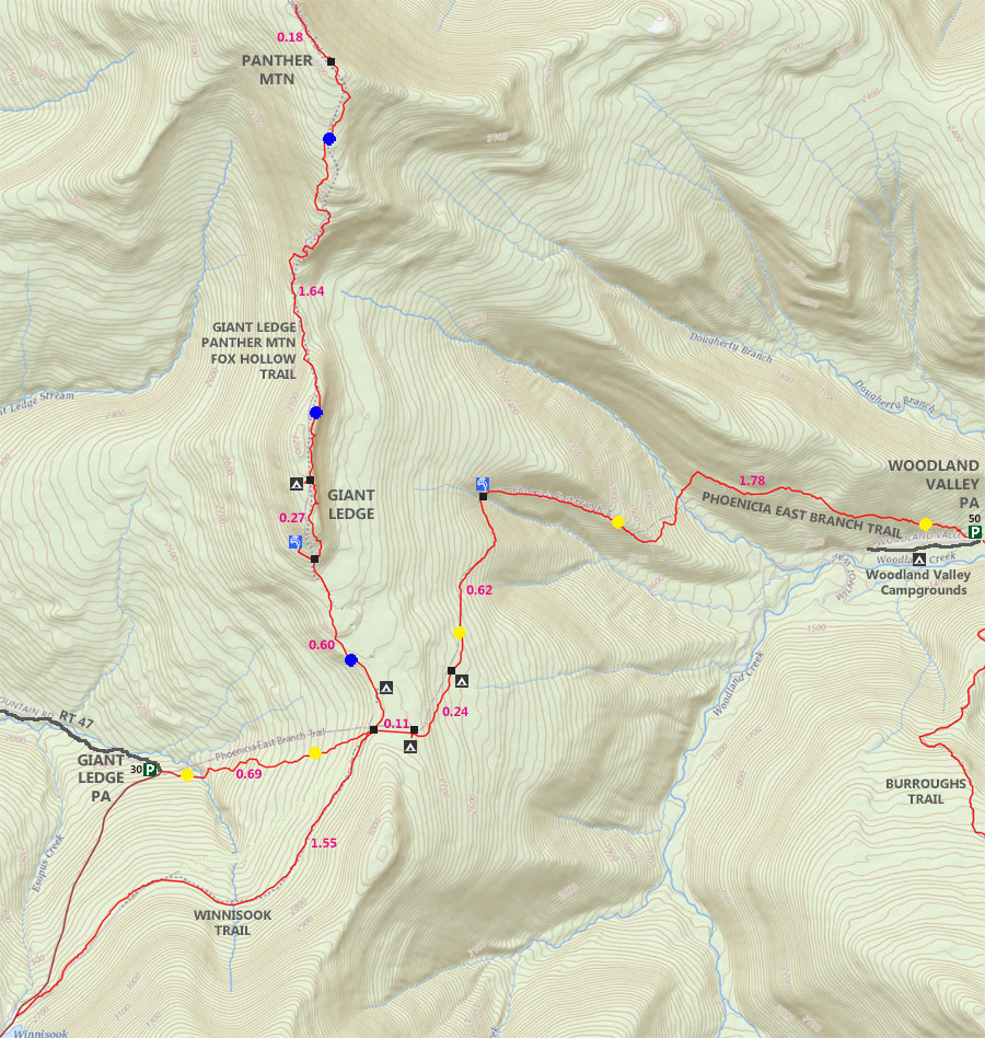
Maps for Giant Ledge & Panther Mountain |
 |
|
|
|
| | Notes About Giant Ledge & Panther Mountain |
|
| | OTHER INFORMATION |
|
| |
The trail from Rt 47 to Giant Ledge is the shortest and easiest route to Giant Ledge and Panther Mountain. Other routes are significantly harder or longer then this route.
Giant Ledge is not a safe place for small children. The ledge is quite high in elevation, and easy for small children to fall off.
Giant Ledge has become quite popular over the years. Today, it is very crowded. So, you may consider hiking it in the off season. Most people who visit Giant Ledge never visit Panther Mountain. The hike over to Panther Mountain is quite nice. The conifer forest walk is exceptional when it is dry.
Panther Mountain sits on top of a 375 million year old meterorite hit. The meterorite was approximately 1/2 mile wide. It sits 3300 feet below Panther mountain. Most of the rock on Panther Mountain is sand stone, which is just deposited sediments. If you go down near the Esopus Creek you will see significant fractucred rock, which is evidence of the meteor. You will not find this fractured rock on top of Panther Mountain. The mountain is earth that has risen over time. To learn more about this meteor, click on some of the links at the bottom of this page. |
|
|
| | DIRECTIONS to Giant Ledge & Panther Mountain |
| | Giant Ledge Parking Area WGS84 (DEC): 42.0266 -74.403717 - Elevation is about 2,167 feet |
| | Giant Ledge Parking Area Deg/Min/Sec: N42 01 35 W74 24 13 - Elevation is about 2,167 feet |
| | Giant Ledge Parking Area GPS: N 42 01.596 W 74 24.223 - Elevation is about 2,167 feet |
| | Giant Ledge Parking Area UTM: 18N 549362 4652902 - Elevation is about 2,167 feet
|
| |
|
| | Get off New York State Thruway at Exit 19 (Kingston). |
| | Take a RIGHT out of the NYS Thruway onto Route 28 West. |
| | Go approximately 30.4 miles on Rt 28 West |
| | Take a LEFT onto Rt 47 at Big Indian |
| | Go approximately 7.5 miles on Rt 47 |
| | Turn RIGHT into the Parking Area direction off Rt 47. |
| | The DEC Parking lot is on the RIGHT side of the road, just before a sharp turn going uphill. |
|
|
MILEAGE CHART for Giant Ledge & Panther Mtn from Rt 47 |
| | Mile Point | Altitude | Notes |
| | 0.00 | 2,167' | Giant Ledge PA - TrailHead to Giant Ledge & Panther Mountain |
| | 0.17 | 2,221' | DEC Registration Box |
| | 0.74 | 2,788' | Trail Junction - Go LEFT |
| | 1.34 | 3,000' | Side trail to Spring - Spring is 250' off trail |
| | 1.50 | 3,162' | Giant Ledge View Spot #1 |
| | 1.55 | 3,167' | Giant Ledge View Spot #2 |
| | 1.61 | 3,171' | Side Trail to Campsite |
| | 1.67 | 3,183' | Giant Ledge View Spot #3 |
| | 1.76 | 3,173' | Giant Ledge View Spot #4 |
| | 1.87 | 3,159' | Giant Ledge View Spot #5 |
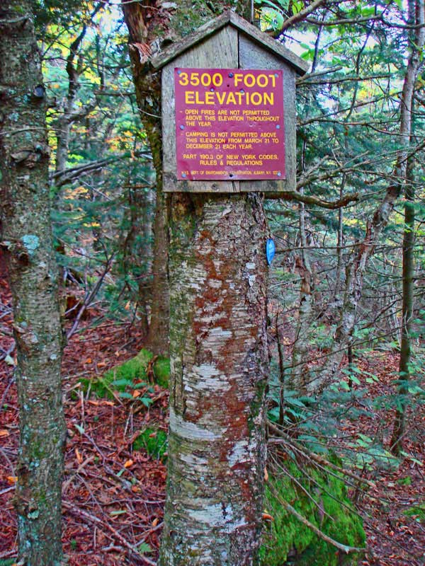
| | 2.70 | 3,456' | DEC 3500' elevation sign |
| | 3.18 | 3,722' | View spot from top of large rock |
| | 3.20 | 3,725' | Panther Mountain Summit |
| | 3.38 | 3,700' | View spot past summit |
|
|
Hike to Giant Ledge and Panther Mountain |
 |
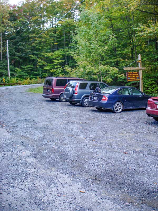 |
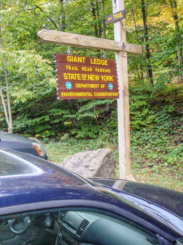
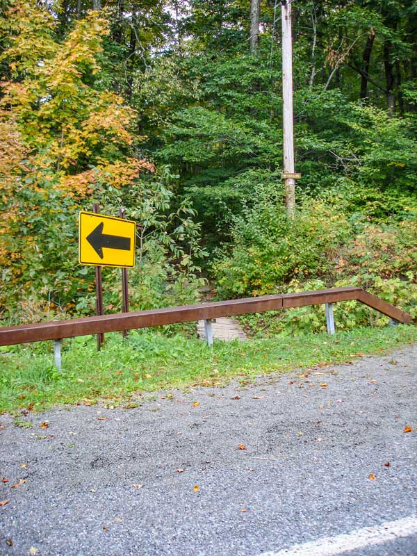
This is the DEC Panther Mountain Parking Lot. While the parking lot is big, it does fill up quite quickly on the weekends. |
The trail starts on the LEFT side of the telephone pole on the very left side of the picture. |
|
 |
 |
The trail is actually behind the guard rail, but between the telephone pole and the street sign. |
The picture on the RIGHT shows the sign just behind the guard rail |
|
 |
 |
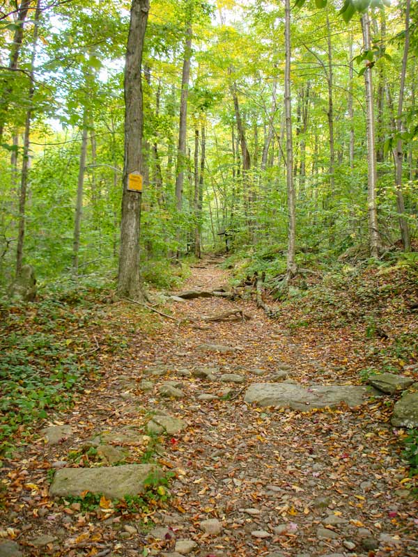
The trail starts out flat like the picture on the LEFT. |
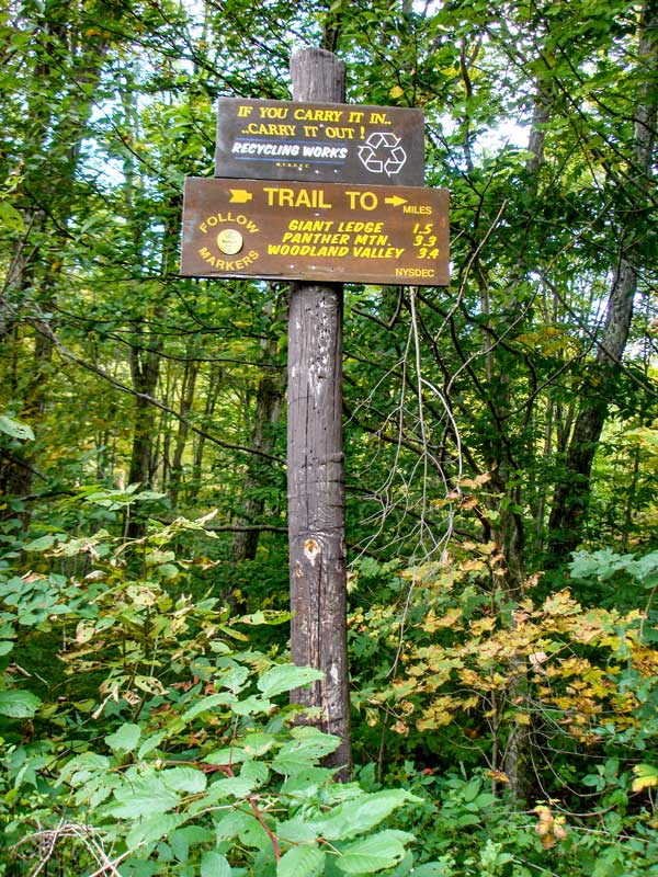
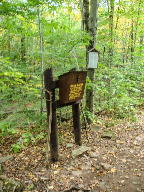
The picture on the right is the DEC registration box. Registering provides money for maintenance, and may save your life. |
|
 |
 |
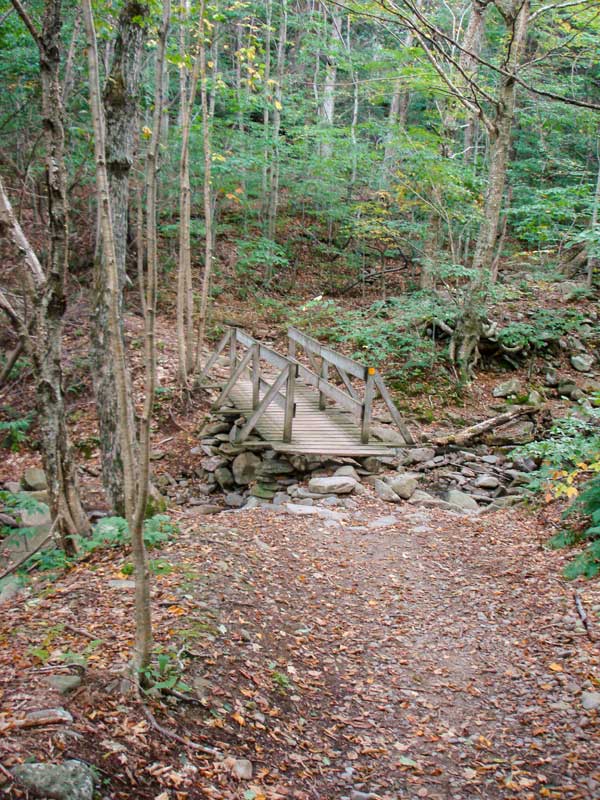
At mile post 0.17 miles, you will cross a wooden bridge on this hike. |
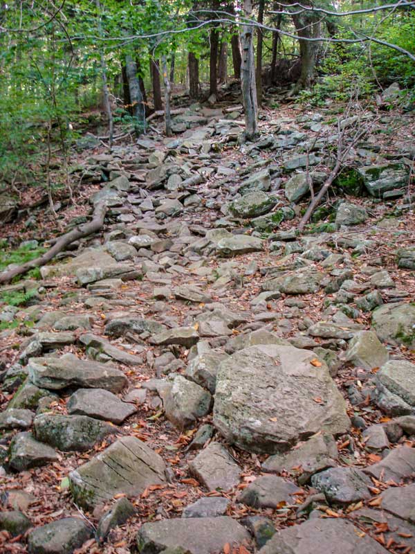
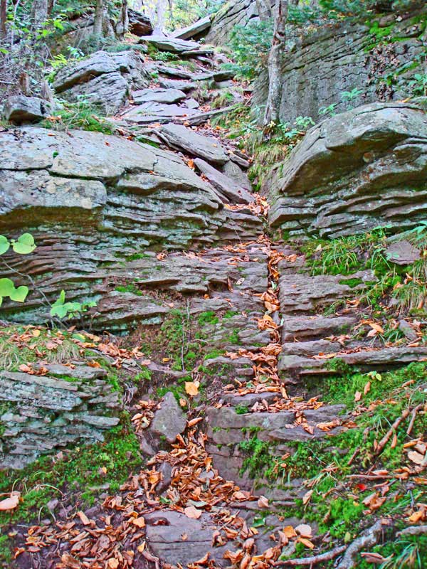
This part of the Catskill Mountains has a lot of sandstone rocks. You will be seeing a lot of rocky trails on this hike. |
|
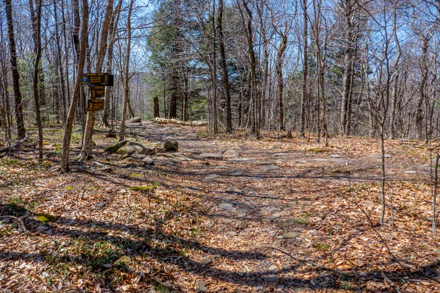 |
This is the Trail Junction to Giant Ledge and Panther Mountain. You want to take a LEFT. This picture was taken while looking back. You will hike up to the left of the log on the ground, and will continue hiking the 100 feet to this trail junction.
The DEC Trail Markers will change to BLUE on the Giant Ledge Panther Trail.
|
|
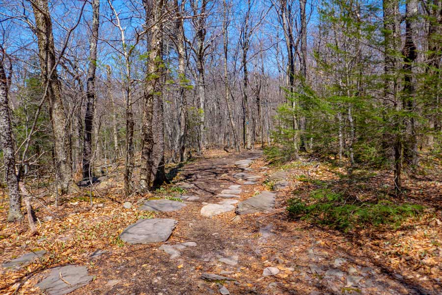 |
This is the beginning of the Giant Ledge - Panther - Fox Trail. Most just call it the Giant Ledge Trail. For a ways the trail will remain fairly flat.
Just after you start up the trail, there is a NY State DEC primitive campsite on the RIGHT. There are 4 campsites in the region.
The DEC Trail Markers will change to BLUE on the Giant Ledge Panther Fox Trail.
|
|
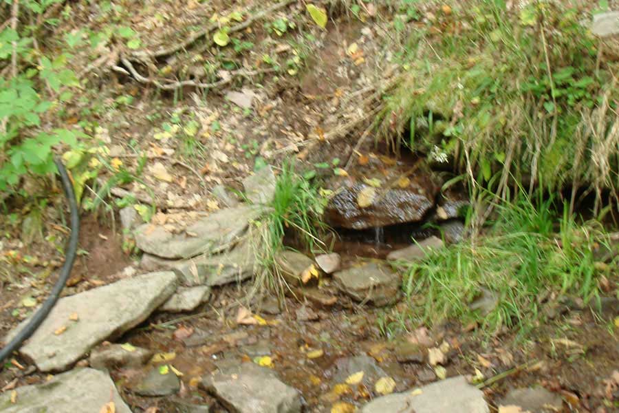 |
There is a spring located on the south side of Giant Ledge. After you hike up the Giant Ledge Trail 6/10 of a mile, there is a side trail on the LEFT that will take you to the Spring. It does flow most of the year.
|
|
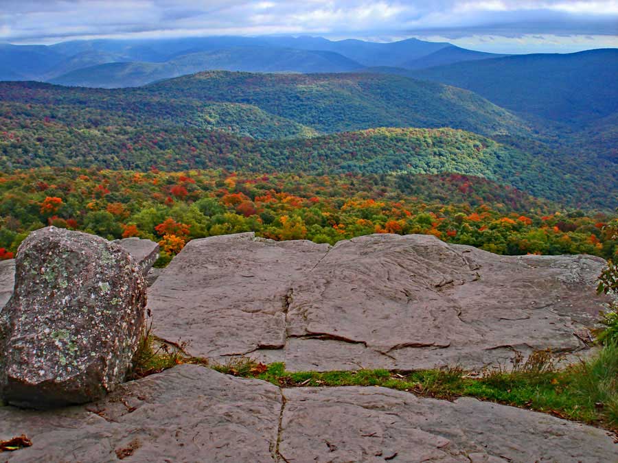 |
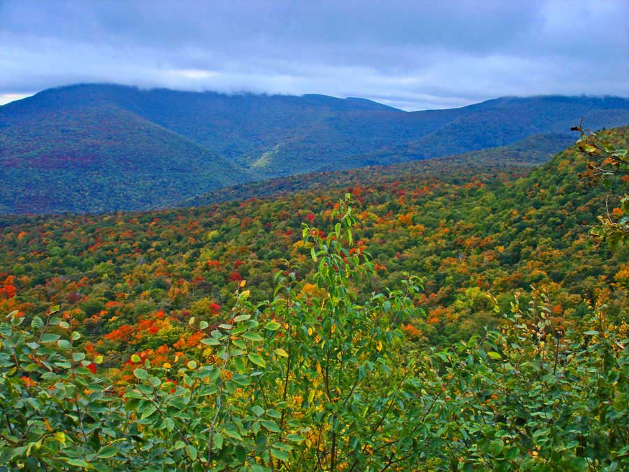
After you hike 3/4 of a mile from the beginning of the Giant Ledge - Panther - Fox Trail, you will come to your first view point. There are about 5 major view points along Giant Ledge.
|
|
 |
This is the 2nd View Spot on Giant Ledge
|
|
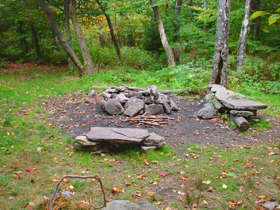 |
After the 2nd view spot there is an official NY State DEC primitive campsite on the left side of the trail. It is a well liked campsite due to it's location.
|
|
 |
After the campsites, there are 3 more view spots that are commonly visited..
|
|
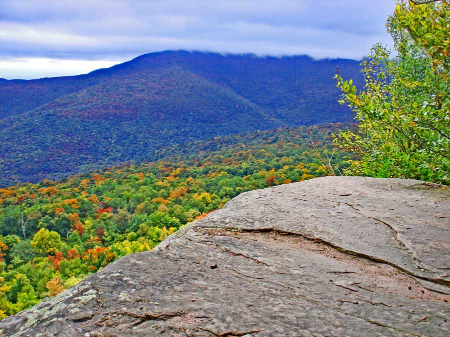 |
View Spot on Giant Ledge. That is Slide Mountain in the distance.
|
|
 |
View Spot on Giant Ledge. That is Slide Mountain in the distance.
If you are only visiting Giant Ledge, you are done. You can turn around and hike back to your car. If you plan on visiting Panther Mountain, continue down the trail.
|
|
 |
 |
After you hike across the col between Giant Ledge and Panther Mountain, there are a few spots, where there is some elevation gain. Nothing very difficult.
About 3/4 of a mile after leaving Giant Ledge, you will encounter the 3,500' elevation sign. You cannot camp overnight above 3500' in the Catskills outside of the Winter months.
|
|
 |
 |
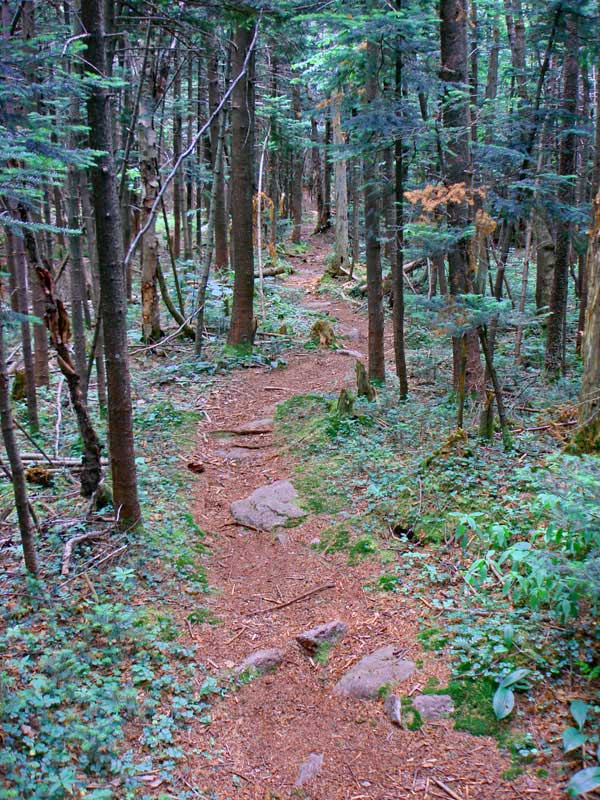
There are some beautiful conifer forest past Giant Ledge. And, even after the summit of Panther Mountain you will find some nice conifer forest.
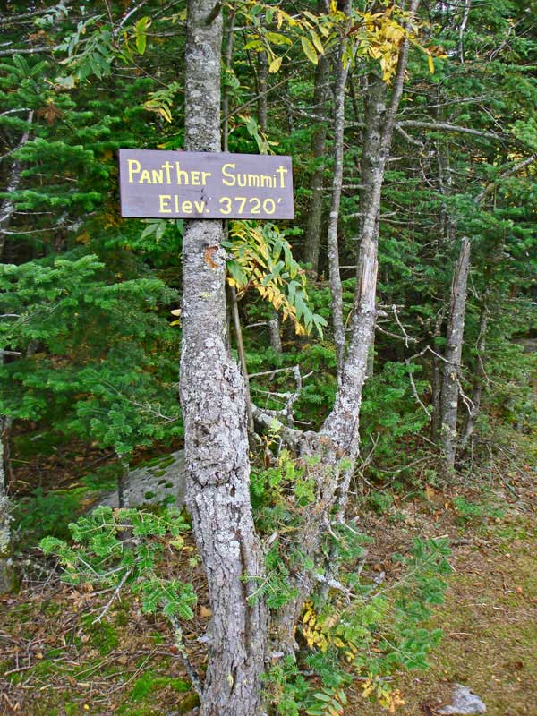
The summit of Panther Mountain has a sign designating the summit. Over the years, the sign sometimes needs to be replaced. Most Catskill Summits do not have signs.
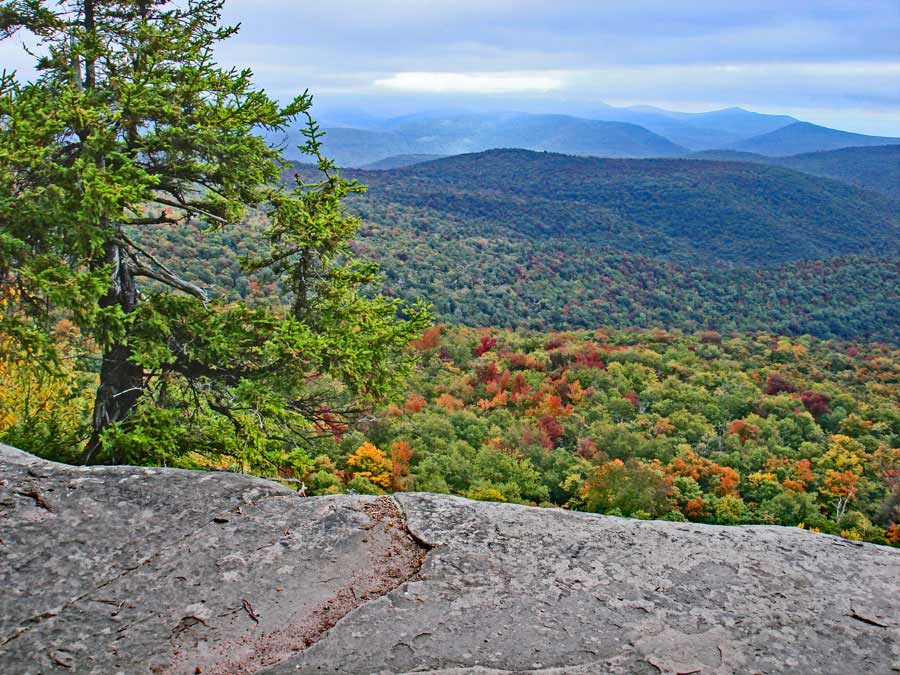
There is another view spot worth visiting on Panther Mountain. It is about 0.18 miles past the Panther Summit.
|
|
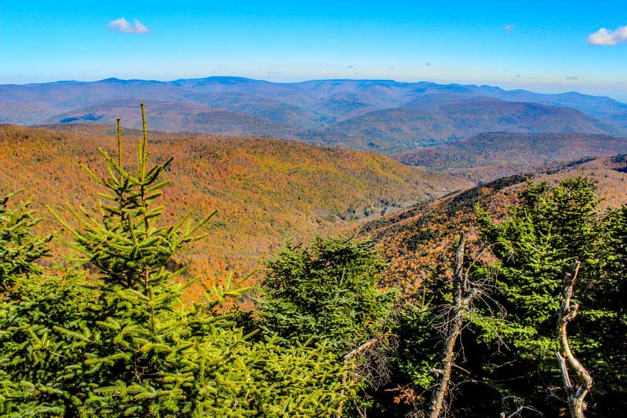 |
This the beautiful view spot just north of the summit of Panther Mountain. Many consider this view spot worth visiting. It is about 0.18 miles past the Panther Summit.
|
|
|
S E C T I O N S
|
W E A T H E R
|
O T H E R
|