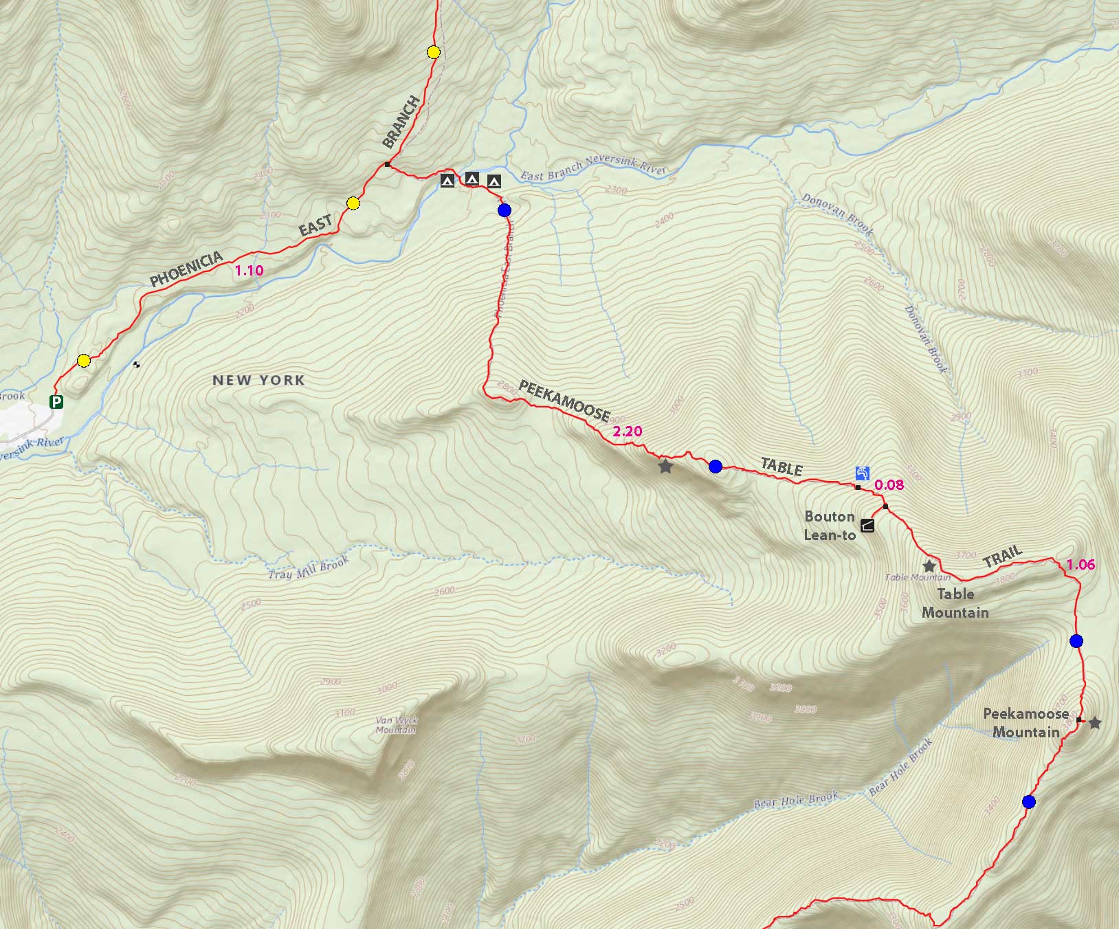
Hike Peekamoose-Table Trail from Denning Road |
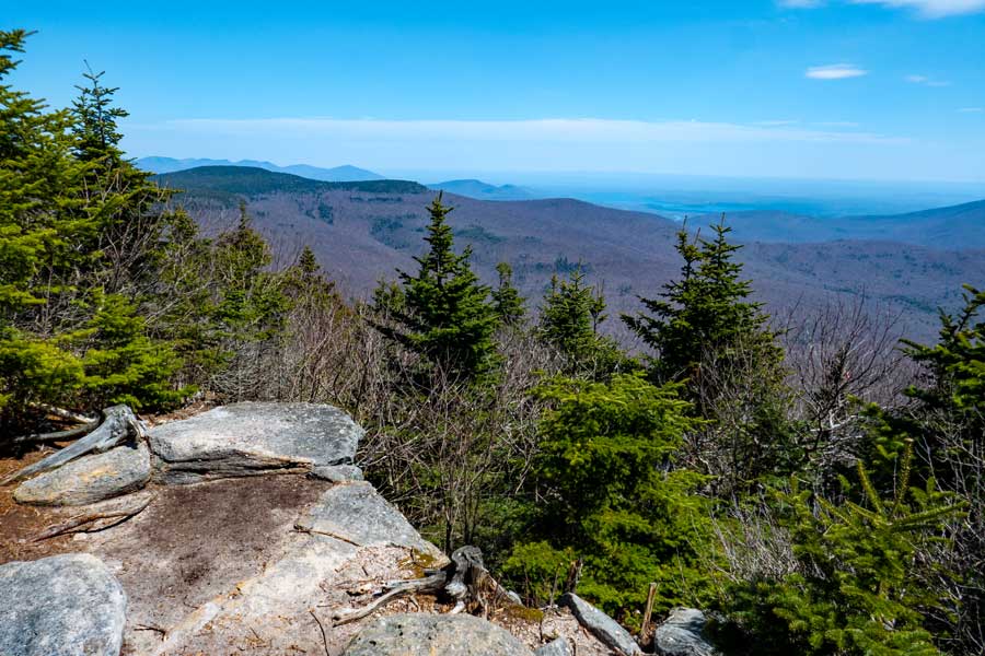 |
| View is very close to the summit of Peekamoose Mountain |
| |
| |
|
OVERVIEW |
| | Trail Name: |  Phoenicia East Branch Trail (Slide Mtn TH to Denning PA)
 |
| | Trail Name: |  Peekamoose - Table Trail (Denning to Peekamoose Summit)
 |
| | |
| | | Type of Trail: | 100% DEC trails |
| | Trail Mileage: | 4.55 miles (one-way) or 9.10 (round-trip) |
| | Trail: | 2-track trail on logging road at beginning - 1-track to summit |
| | Views Points: | 2 view points - excellent views to the east and south |
| | Difficulty: | Moderate |
| | Hiking Time: | Average 5.50 hours round trip in the Summer |
| | Elevation - Summit: | 3,845' (A) |
| | Elevation Gain: | Gain of 1,749 feet from Denning Road to Peekamoose Mountain. |
| | |
| | | Best Time to Hike: | Anytime. |
| | Parking Area : | DEC Parking Areas off Peekamoose Road |
| | Winter Access: | Plowed in the Winter |
| | Camp sites: | Many Camp Sites located in the Peekamoose Valley |
| | |
| | | USGS Previous Names : | Mount Peak o' Moose, Peak o' Moose - Changed to Peekamoose in 1981 |
| | USGS Summit Elevation: | 3,813'(L) - 3,843' (A) |
| | USGS Peekamoose Summit: | 41.95305, -74.398067 (DEC-WGS84) |
| | USGS Peekamoose Summit: | N 41 57.183, W 74 23.884 (GPS) |
| | USGS Peekamoose Summit: | 18N 549887 4644739 (UTM) |
| | USGS Peekamoose Summit: | N41 57 10, W74 23 53 (Degree, Min, Sec) |
| | |
| | | USGS Map: | USGS Peekamoose Quad Maps |
| | | |
| | | DEC Trail Map: | DEC Sundown Wild Forest Map (free) |
| | | |
| | | Digital Mapper: |
Topo
Terrain
Satellite |
|
|
Maps |
 |
|
|
| | DIRECTIONS to Peekamoose Table Trail from Kingston |
| | GPS Coordinates to DEC Parking Lot: - Elevation is approximately 2,136 feet |
| | Take New York State Thruway to Exit 19 (Kingston). |
| | Take a right out of the NYS Thruway toll booths onto Rt 28. |
| | Go approximately 30.4 miles west on Rt 28 |
| | Take a left onto Rt 47 at Big Indian |
| | Go 20.3 miles South on Rt 47 |
| | Take LEFT through Claryville |
| | Go 7.7 miles to the end of Denning Road (road splits a couple times, so make sure you stay on Denning Road. Denning road will turn to dirt road just before the end. |
| | The DEC Parking lot is at the very end of Denning Road. The parking lot is 58.4 miles from Exit 19 on the NYS Thruway. |
| | You can also access this parking lot from Peekamoose Road and Rt 209 from Ellenville. |
|
|
NOTES about hiking the Table-Peekamoose Trail |
| | CLIMB UP TO TABLE MOUNTAIN |
| | This hike starts off on a flat old carriage road that goes through a very nice forest of conifer trees. This flat hike goes for about a mile. At the trail junction, you can either go up the Curtis-Ormsbee Trail to Slide Mountain, or you can go right up to Table Mountain and Peekamoose Mountain. During this hike, we will take a right and go down the hill to the East Branch of the Neversink River. You will pass over two bridges that span over the Neversink Creek. The trail then starts to climb up the base of Table Mountain. In the beginning, you will go up and down hills as you climb up the mountain. |
| |
| | TABLE to PEEKAMOOSE MOUNTAIN |
| | Further up the trail, there is a water spring and Bouton's Memorial Lean-to. There is a very nice view point near the summit of Table Mountain. Once you get on the summit of Table Mountain, you will experience a very flat summit that goes quite a ways. It doesn't go as far as Plateau Mountain, but it is still nice. You will then hike down to the col in between Table Mountain and Peekamoose Mountain. The col is a very nice trail with a beautiful forest. Enjoy this walk. You will then climb up a short distance to the summit of Peekamoose Mountain. Once you get to the top, you will come to a rock. This is the summit peak. About 50' past the rock is a trail on the left which will lead to a nice view to the east. |
| |
| | OTHER |
| | It should be noted that after a big rain storm the East Branch of the Neversink River can be unpassable. |
|
|
MILEAGE CHART from Denning Road to Peekamoose Mtn |
| | Mile Point | Altitude | Notes |
| | 0.00 | 2,136 | DEC Parking Lot |
| | 1.10 | 2,356 | Trail Junction - Turn right and go downhill to Neversink River. |
| | 1.37 | 2,282' | Bridge #1. |
| | 1.41 | 2,282' | Bridge #2 |
| | 1.45 | 2,292 | Trail to Campsite (no marker in this direction) - Straight to campsite - 90 right to continue on trail. |
| | 2.69 | 2,913 | View #1 |
| | 3.30 | 3,237 | Trail to Spring (limited in the Summer). |
| | 3.38 | 3,391 | Trail to Lean-To on RIGHT. |
| | 3.42 | 3,405 | Lean-To. |
| | 3.50 | 3,452 | 3500 sign. |
| | 3.74 | 3,652 | View #2 - just before the summit of Table Mountain. |
| | 4.52 | 3,843 | Large Rock - Summit of Peekamoose Mountain. |
| | 4.55 | 3,839 | Great View Point to the East - Trail 50' past rock on LEFT. |
| | 9.10 | 2,136 | Return back to Parking Lot. |
|
|
Hike to Table & Peekamoose Mountain |
 |
 |
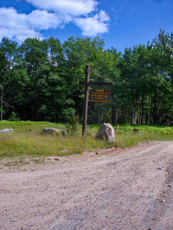
When you come to the end of Denning Road, you will come into the DEC parking lot. You will see this sign as you enter the parking lot.
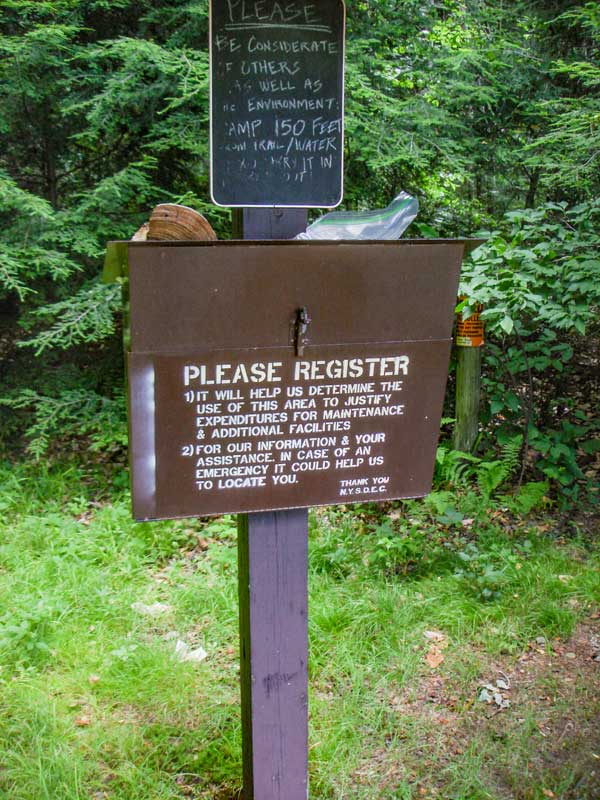
You can see the DEC registration box from the parking lot. Please register. |
|
 |
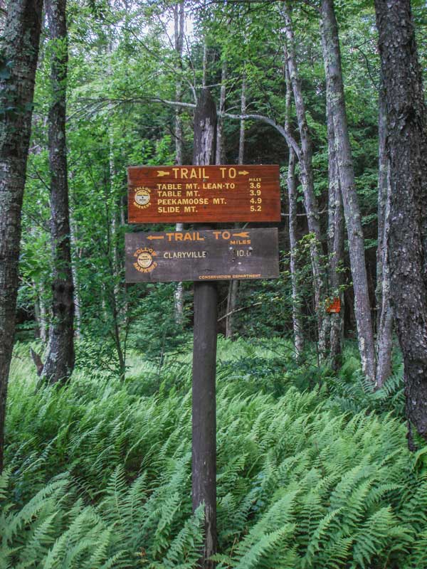 |
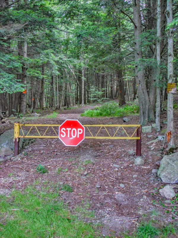
Denning road used to continue further into the woods. Now, there is a metal gate blocking the road.
The sign next to the registration box is not completely accurate. But, it does give you a good idea of the mileage. |
|
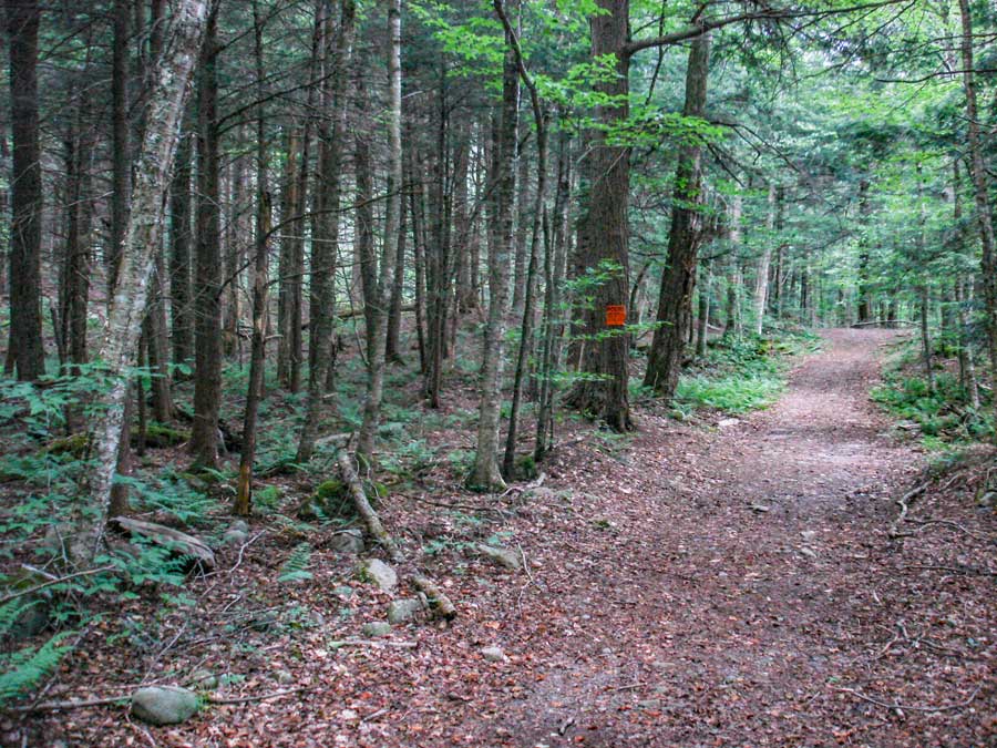 |
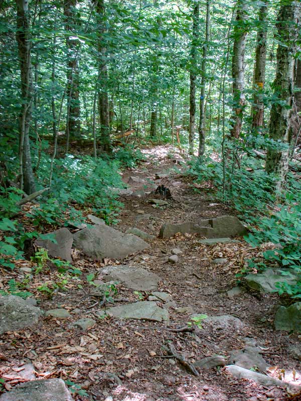
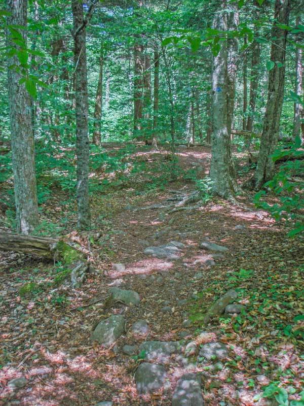
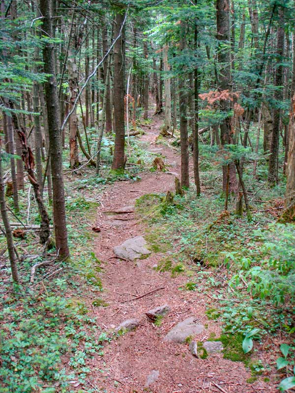
The trail starts out flat like the picture on the LEFT. You will walk through some very nice conifer forest. Most of the surrounding land is private, so stay on the road. |
|
 |
 |
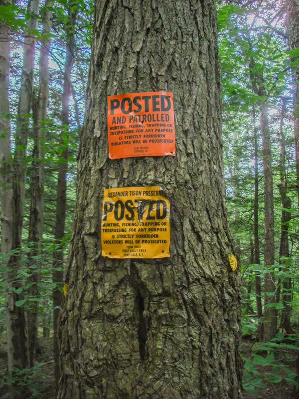
The land you are traveling is private, so please stay on the road.
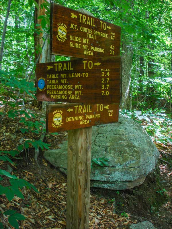
At mile post 1.10 miles, you will come to a trail junction. Going straight will take you up the Curtis-Ormsbee Trail. Right will take you up to Table and Peekamoose Mountain. Go RIGHT. At this point, you will be on State Land, and you may leave the trail. |
|
 |
 |
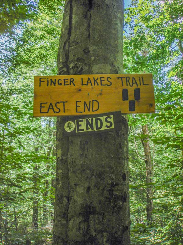
This is the end of the Finger Lakes Trail.
You will then go down the hill to the East Branch of the Neversink River. |
|
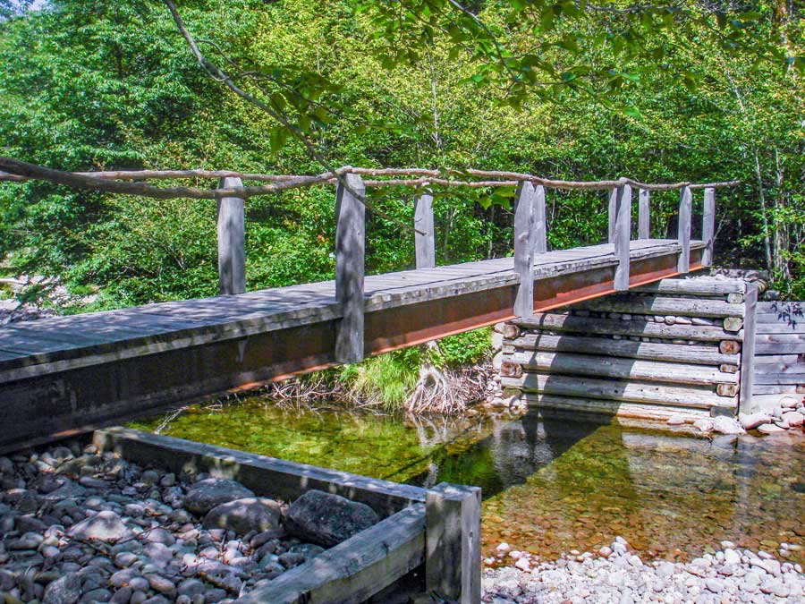 |
At 1.37 miles, you will come to a bridge, which will take you over the East Branch of the Neversink River. During high water, you may not be able to cross the east branch of the Neversink River safely. |
|
 |
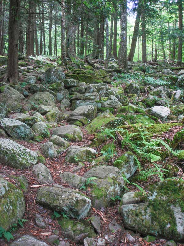 |
After leaving the second bridge, you will walk parallel with the east branch of the Neversink River. After a short walk, the trail will take a 90 degree right and head up to Table Mountain. At the 90 degree turn, you can continue straight, to a camp site. This side trail leads to a campsite. This is an authorized site to camp at.
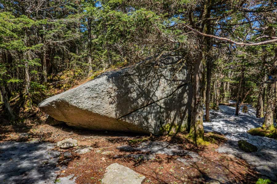
After a short period, you will come to a rock rubble pile that goes up a mild uphill climb. You can work your way through the rocks and continue uphill. |
|
 |
 |
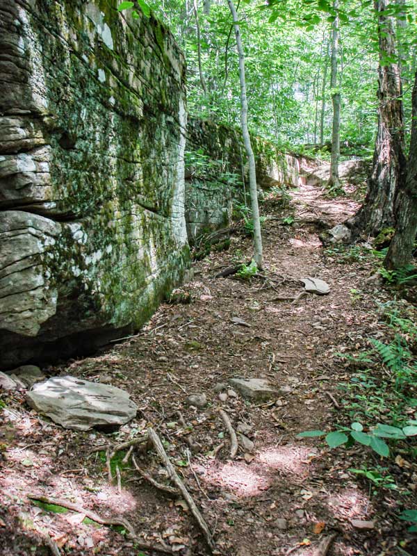
As you start to climb up to Table Mountain, you will go through a series of hills where you will climb both up and downhill There are some interesting places on the way.
At 2.69 miles, you will come to the first view point. Not the best view point, but you will get a view. At this point, you will be at 2900-3000'. You will have to climb another 800-900 vertical feet. |
|
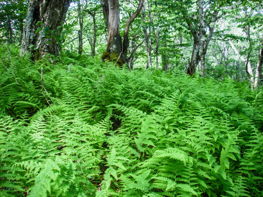 |
After the first view point on the way up to Table Mountain, you will enter an area with lots of ferns. In the Summer, you will have quite a nice view of them. |
|
 |
 |
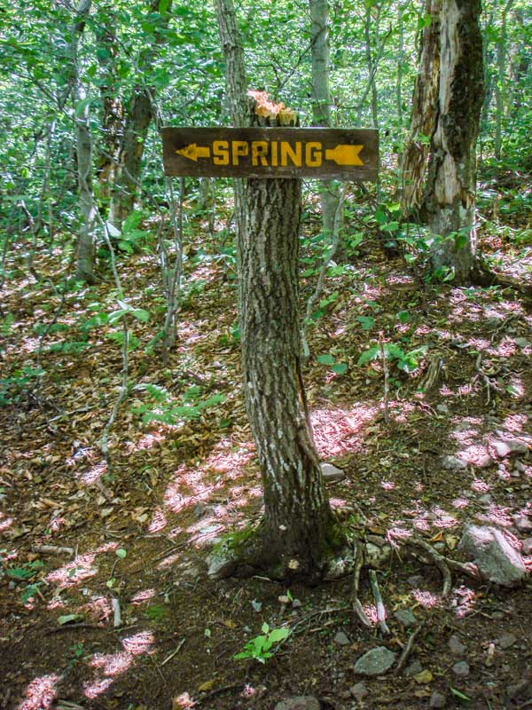
At 3.30 miles at elevation 3,237 you will come to a sign showing a side trail to a water spring. It is on the LEFT side of the trail. During droughts the spring can be dry. If you need to rely on the water source, check with other hikers to determine if the spring is dry or running.
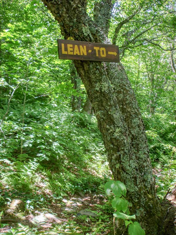
At mile 3.38 with elevation around 3,391' you will see a sign for the lean-to on the RIGHT side of the trail. The lean-to is about 200' off the trail. |
|
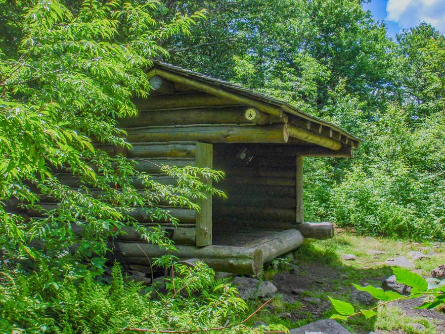 |
This is the Bouton's Memorial Lean-to. The lean-to has a nice fire ring. Unfortunately, the spring is located about 150' vertical feet below the lean-to. |
|
 |
 |
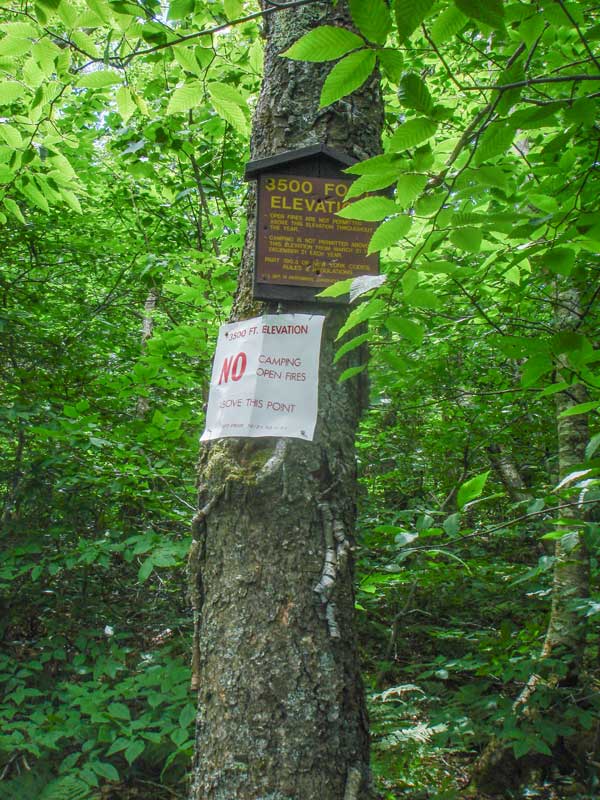
At 3.50 miles at elevation 3,452 you will come to the 3500 sign marker. You cannot camp above this point in the Spring, Summer, and Fall. You MAY camp above this point in the Winter.
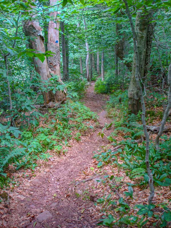
This is another picture of the trail up Table Mountain |
|
 |
At 3.74 miles and elevation of 3,652 you will come to a side trail on the RIGHT that will lead to View Point #2 on Table Mountain. This is a very nice view point to the west. The rock is very small, and the drop is further then it looks. Fall off this rock, and you will be finished. So, use caution. |
|
 |
 |
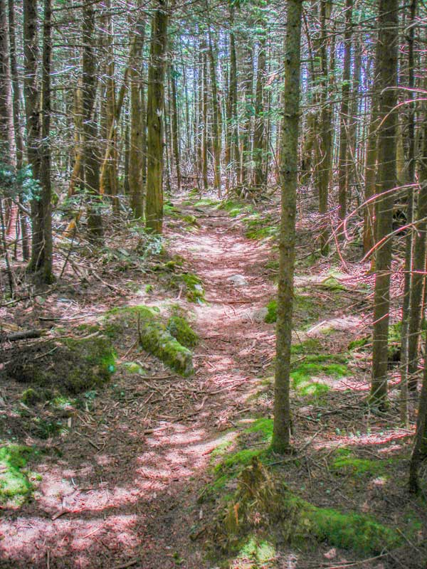
Just before you reach the summit of Table Mountain, the forest will change to a conifer forest. Once it levels off, you will be on the summit of Table Mountain. It is hard to tell that you are on the summit because the summit is very flat. This is how the mountain got it's name. The summit of Table Mountain is very flat for a long distance. It is a nice walk through a conifer forest.
Once you get to the other side of Table Mountain, the trail will descend down to the col in between Peekamoose Mountain and Table Mountain. It will then rise back up to the summit of Peekamoose Mountain. |
|
 |
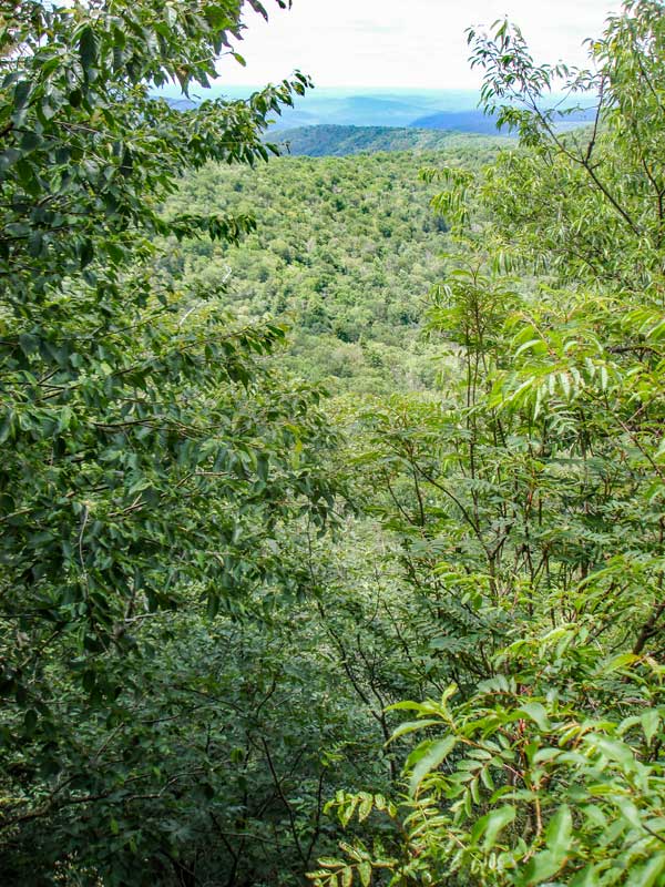
This is the summit of Peekamoose Mountain.
If this is the end of your hike. Before you head back to your car, go up the trail a little ways further for a side trail to a beautiful view.
|
|
|
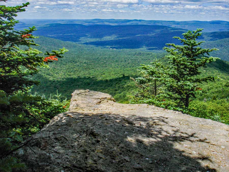
This is the best view spot for from Peekamoose Mountain. In the near distance is Lone, Rocky, Balsam Cap, and Friday Mountain. In the far distance is the Indian Head Wilderness with the Devil's Path, Plattekill Mountain, and Overlook Mountain. You can also see the Hudson River on a clear day. This is a nice place for lunch or a good break.
|
|
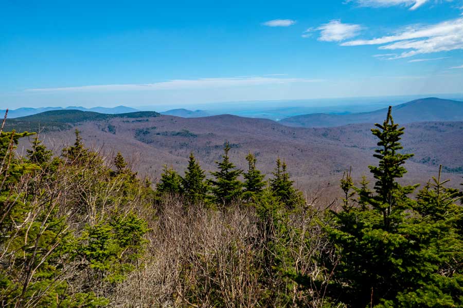 |
This image was taken in a more easterly direction.
|
|
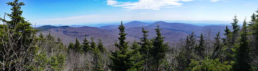 |
This is a panoramic image from the view spot very close to the summit of Peekamoose Mountain.
|
|
S E C T I O N S
|
W E A T H E R
|
O T H E R
|