|
Information about Santa Cruz Falls: |
| Name: None (Proposed: Santa Cruz Upper Cascade) |
| County: Greene |
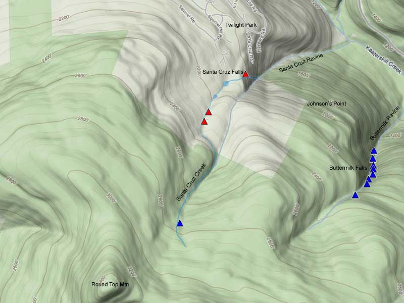
| Region: Kaaterskill Clove |
| Location: Santa Cruz Ravine |
| Order within ravine: 1th of 4 Waterfalls (1=highest elevation) |
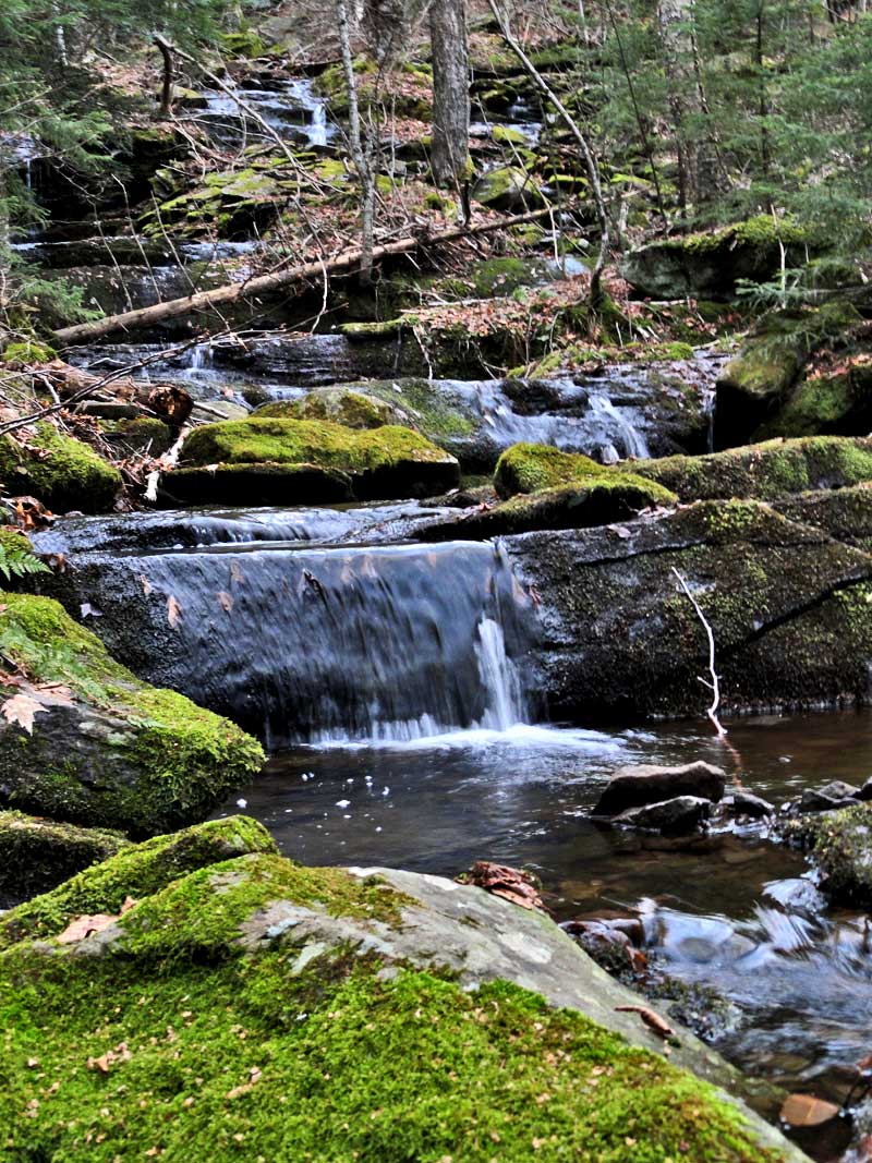
| Drops within waterfall: Multiple |
| Total Height: 75' (GPS in 2011) |
| Top Elevation: 2,759' |
| Bottom Elevation: 2,684' |
| Type of Waterfall: Long Cascadce |
| Number of Drops: Many small ones |
| GPS location: N42 10.365, W74 05.313 |
| WGS84 location: 42.17275, -74.08855 |
| Dec, Min, Sec location: N42 10 21, W74 05 18 |
| UTM location: 18N 575280, 4669359 |
| Previous or Alternate Names: none |
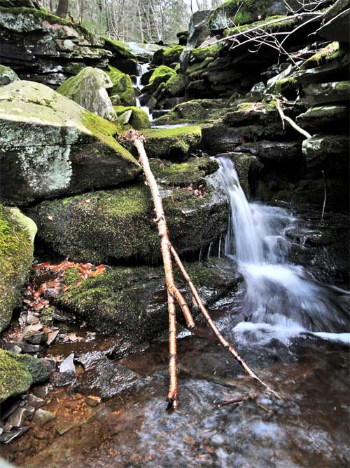
| Description: These waterfalls lie high up in the Santa Cruz Ravine on NYS Property. You can access them from the Snowmobile Trail or from the Long Path. They are not particularly pretty. They don't have a large volume of water. |
| Map No: USGS: Kaaterskill Quad |
| Digital Mapper:
Topo
Terrain
Satellite |