Hike the Mongaup Loop Trail from Flugertown Road |
 |
| View of Upper Mongaup Pond near the end of the Mongaup-Hardenburg Trail in the Willowemoc Wild Forest |
| |
| |
|
OVERVIEW |
| | Trail Name: |  Long Pond - Beaver Kill Ridge Trail (From Flugertown Road PA TO Sand Pond Mtn)
 |
| | Trail Name: |  Mongaup-Hardenburg Trail (From Sand Pond Mtn TO Mongaup Pond)
 |
| | Trail Name: |  Mongaup-Willowemoc Loop Trail (From Mongaup Pond TO Flugertown Road PA)
 |
| | | |
| | Forest : | Willowemoc Wild Forest & Big Indian Wilderness |
| | Parking Area : | Flugertown Road Parking Area (Summer) |
| | Winter Access: | Long Pond Parking Area |
| | Pay Camp sites: | Mongaup Pond State Campground |
| | Primitive Camp sites: | Flugertown Road |
| | Access: | Hike or snowshoe - Snowmobile or ski on Mongaup-Willowemoc Trail |
| | | |
| | Trail Length: | 10.11 miles |
| | Trail Type: | 59% Single-track trail / 41% Double-track trail |
| | Hiking Time: | Average 6-7 hours |
| | Lowest Elevation: | 2,020' (A) |
| | Highest Elevation: | 3,000' (A) |
| | Views : | NO mountain view spots - Nice view of Mongaup Pond |
| | Difficulty: | Moderate (Route finding skills required) |
| | | |
| | | | |
| | USGS Map: | USGS Willowemoc Quad Maps (free) |
| | DEC Trail Map: | DEC Big Indian Wilderness Map (free) |
| | DEC Trail Map: | DEC Willowemoc Wild Forest Map (free) |
| | | | |
| | Mongaup Campground Info: | DEC Mongaup Campground Information |
| | Mongaup Campground Map: | DEC Mongaup Campground Map (free) |
| | | | |
| | Digital Mapper: |
Topo
Terrain
Satellite |
|
|
Maps for the Mongaup Loop Trail |
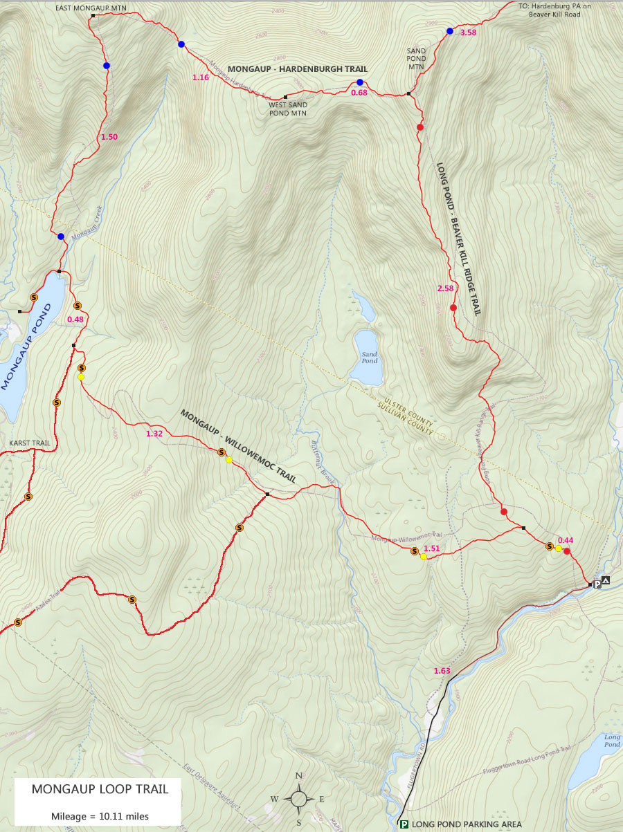 |
|
 |
| NY State Mongaup Campground Map ( $ Reservations Required - see link at bottom of page )
|
|
|
|
| | Notes About Hiking the Mongaup Loop Trail |
|
| | TRAIL |
|
| |
The Mongaup Loop Trail runs through two separate New York State Forest. At the Trailhead, you will be in the Willowemoc Wild Forest. The mountain regions (Sand Pond Mountain and Mongaup Mountains), you will be in the Big Indian Wilderness.
The parts of the hike in the Willowemoc Wild Forest are mainly a flat forest walk. Some of the trails and roads in the Willowemoc Wild Forest are also snowmobile trails. Many of the trails are double-track trails. There are a number of water sources in the Willowemoc Wild Forest for this hike. Many of the trails are easy to follow since they are double-track trails .
The best time to hike this trail is when the leaves are not on the trees. Parts of this hike can be combine with other trails in the region to create a backpack hike.
The parts of the hike in the Big Indian Wilderness are in mountain terrain. They are single-track trails, and the trails give you a wild feel to the forest. Some of the trails may be overgrown, so some route finding skills may be needed. There are NO water sources in the Big Indian Wilderness for this hike.
| |
| | OPTIONAL SIDE TRIP AT MONGAUP POND |
|
| |
You can take a side trip to walk around the pond. The Mongaup Pond feels more like a lake then a pond. There is also wildlife to see in the upper pond.
| |
| | CAMPSITES & LEAN-TO |
|
| |
There is one primitive DEC campsites on Flugertown Road. All of them are on level ground with easy access to water. These campsites are free. First-come-first-serve.
You can also camp at Mongaup Pond Campgrounds, which requires reservations. Campsites in the Mongaup Pond Campgrounds are not free.
| |
| | PARKING |
|
| |
Parking on Flugertown Road is restricted to side-of-the-road parking on DEC land. During busy summer weekends, it may be difficult to find parking there. You can also park at the Long Pond Parking Area, which is quite large. This would add 1.8 miles (round-trip) to your hike.
In the Winter, you will have to use the Long Pond Parking Area because Flugertown Road in the Willowemoc Wild Forest is NOT plowed in the Winter months.
| |
| | OTHER INFORMATION |
|
| |
There is NO cell phone service.
|
|
|
| | DIRECTIONS to Flugertown Road Parking Area from Exit 18 (New Paltz) |
| | Flugertown Road Parking Area WGS84 (DEC): 41.950167, -74.632317 - Elevation is approximately 2,032 feet |
| | Flugertown Road Parking Area Deg/Min/Sec: N41 57 00, W74 37 56 - Elevation is approximately 2,032 feet |
| | Flugertown Road Parking Area GPS: N41 57.010, W74 37.939- Elevation is approximately 2,032 feet |
| | Flugertown Road Parking Area UTM: 18N 530474 4644309 - Elevation is approximately 2,032 feet
|
| |
|
| | Get off New York State Thruway at Exit 18 (New Paltz). |
| | Take a LEFT out of the NYS Thruway onto Route 299 West. |
| | Go approximately 7.3 miles on Rt 299 West |
| | Take a RIGHT onto Rt 44 |
| | Go approximately 10.3 miles on Rt 44 |
| | Take a LEFT onto Rt 209 in Kerhonkson |
| | Go approximately 4.4 miles on Rt 209 |
| | Take a RIGHT onto Rt 55 in Napanoch |
| | Go approximately 16.1 miles on Rt 55 |
| | Take a RIGHT onto Claryville Road (Rt 157) |
| | Go approximately 4.6 miles on Rt Claryville |
| | Take a LEFT onto Frost Valley Road (Rt 47) |
| | Go approximately 1.4 miles on Frost Valley Road (Rt 47) |
| | Take a LEFT onto Pond Road |
| | Go approximately 4.9 miles on Pond Road (turns into Pole Road) |
| | Take a RIGHT onto Brown Road |
| | Go approximately 0.1 miles on Brown Road |
| | Take a LEFT onto Flugertown Road |
| | Go approximately 2.5 miles on Flugertown Road |
| | You can park on the side of the road before the bridge (or nearby or at a campsite) |
| | You can park also park at a campsite or other space on the side of the road |
| | In the Winter, you have to park at the Long Pond Parking Area (0.9 miles down Flugertown Road) |
|
|
| | DIRECTIONS to Flugertown Road Parking Area from Exit 19 (Kingston) |
| | Flugertown Road Parking Area WGS84 (DEC): 41.950167, -74.632317 - Elevation is approximately 2,032 feet |
| | Flugertown Road Parking Area Deg/Min/Sec: N41 57 00, W74 37 56 - Elevation is approximately 2,032 feet |
| | Flugertown Road Parking Area GPS: N41 57.010, W74 37.939- Elevation is approximately 2,032 feet |
| | Flugertown Road Parking Area UTM: 18N 530474 4644309 - Elevation is approximately 2,032 feet
|
| |
|
| | Get off New York State Thruway at Exit 19 (Kingston). |
| | Take a RIGHT out of the NYS Thruway onto Route 28 West. |
| | Go approximately 30.4 miles on Rt 28 West |
| | Take a LEFT onto Rt 47 in Big Indian |
| | Go approximately 19.3 miles on Rt 47 |
| | Take a (180 degree) RIGHT onto Pond Road |
| | Go approximately 4.9 miles on Pond Road (turns into Pole Road) |
| | Take a RIGHT onto Brown Road |
| | Go approximately 0.1 miles on Brown Road |
| | Take a LEFT onto Flugertown Road |
| | Go approximately 2.5 miles on Flugertown Road |
| | You can park on the side of the road before the bridge (or nearby or at a campsite) |
| | You can park also park at a campsite or other space on the side of the road |
| | In the Winter, you have to park at the Long Pond Parking Area (0.9 miles down Flugertown Road) |
|
|
MILEAGE CHART Hike Mongaup Loop (Sand Pond Mtn - to Mongaup Mtn to Pond to PA) |
| | Mile Point | Altitude | Notes |
| | 0.00 | 2,022' | Trailhead - Mongaup-Willowemoc Trail |
| | 0.44 | 2,260' | Go RIGHT at Trail Junction for Long Pond - Beaver Kill Ridge Trail |
| | 3.02 | 2,602' | Trail Junction on Sand Pond Mountain |
| | 3.70 | 2,986' | West Sand Pond Mountain Summit |
| | 4.86 | 3,000' | Mongaup Mountain Summit |
| | 6.30 | 2,222' | DEC Registration Box by Mongaup Pond |
| | 6.36 | 2,187' | End of Mongaup-Hardenburg Trail by Mongaup Pond |
| | 6.37 | 2,188' | Bridge #1 on Mongaup Pond Trail |
| | 6.47 | 2,188' | Bridge #2 on Mongaup Pond Trail |
| | 6.56 | 2,232' | Bridge #3 on Mongaup Pond Trail |
| | 6.72 | 2,261' | Bridge #4 on Mongaup Pond Trail |
| | 6.84 | 2,264' | GO LEFT at Trail Junction to Mongaup-Willowemoc Trail |
| | 8.02 | 2,239' | Bridge #1 on Mongaup-Willowemoc Trail |
| | 8.16 | 2,236' | Continue STRAIGHT at Butternut Junction |
| | 8.55 | 2,123' | Bridge #2 on Mongaup-Willowemoc Trail |
| | 9.16 | 2,175' | Bridge #3 on Mongaup-Willowemoc Trail |
| | 9.31 | 2,200' | Continue STRAIGHT over "Private" Dirt Road for Vehicles |
| | 9.67 | 2,244' | Continue STRAIGHT at Trail Junction (completes loop) |
| | 10.11 | 2,022' | End of Trailhead |
|
|
Hike the Mongaup Loop Trail from Flugertown Road Parking Area |
 |
This is one of the places you can park on the side of the road. Most of the land in this area is public land owned by the New York DEC. This particular location is just before the bridge that crosses over the Willowemoc Creek. There are also primitive campsite locations around this area too.
The Trailhead for this hike is about 100-200 feet south of this parking spot on Flugertown Road.
Please NOTE: This region of Flugertown Road is NOT plowed or maintained in the winter months (DEC-APR). In the Winter you will need to park at the Long Pond Parking Area (see below)
|
|
 |
This is one of several primitive campsites along the Flugertown Road on DEC land. Primitive campsites on DEC land are free. It has a location to park your car and setup a tent. These sites are directly off Flugertown Road. On the left side of the picture, you can see the edge of the road.
|
|
 |
This is the same parking spot from the first image. If you look down Flugertown Road 100-200 feet, the Trailhead is on the RIGHT side of the road (west side).
|
|
 |
In the Winter, when snow is on the ground, you will need to park at the Long Pond Parking Area. The DEC does not plow or maintain the sections of Flugertown Road where DEC land borders Flugertown Road.
The Long Pond Parking Area is 9/10 of a mile from the Trailhead.
|
|
 |
The Long Pond Parking Area is quite large. This is a popular area for snowmobilers. They take up a large area with their trailers. There is enough room to park 80 cars without trailers.
|
|
 |
This is the Trailhead for the Mongaup Loop Trail. The Mongaup Loop Trail consist of three trails, (1) Mongaup-Willowemoc Trail (hikers, skiers, and snowmobilers); (2) Long Pond - Beaver Kill Ridge Trail (only the road section can be used by snowmobilers); (3) Mongaup-Hardenburg Trail (NO snowmobiles). Snowmobiles can use the trails and roads in the Mongaup Pond Campground in the Winter months.
|
|
 |
DEC Sign at the Trailhead of the Mongaup-Willowemoc Trail
|
|
 |
If you look at the tree on the left side of the trail, you will see three different trail markers. The orange trail markers designates this trail for snowmobile travel. The yellow trail markers designates this section of the trail as Mongaup-Willowemoc Trail. The red trail markers also designates this section of the trail as the Long Pond - Beaver Kill Ridge Trail. It will be designated as these three trails for the next 1/2 mile. There are very few paths in the Catskill Mountains that have multiple names and trail markers.
|
|
 |
After a little less then a 1/2 mile up the path, you will come to a Trail Junction. You want to go RIGHT. Right will take you to Sand Pond Mountain on the Long Pond - Beaver Kill Ridge Trail. You will follow this trail (Long Pond - Beaver Kill Ridge Trail) for the next 2-1/2 miles up near the summit of Sand Pond Mountain.
Straight will take you to Mongaup Pond. The hike can be done in a clock-wise direction, but most hikers find that less desirable.
|
|
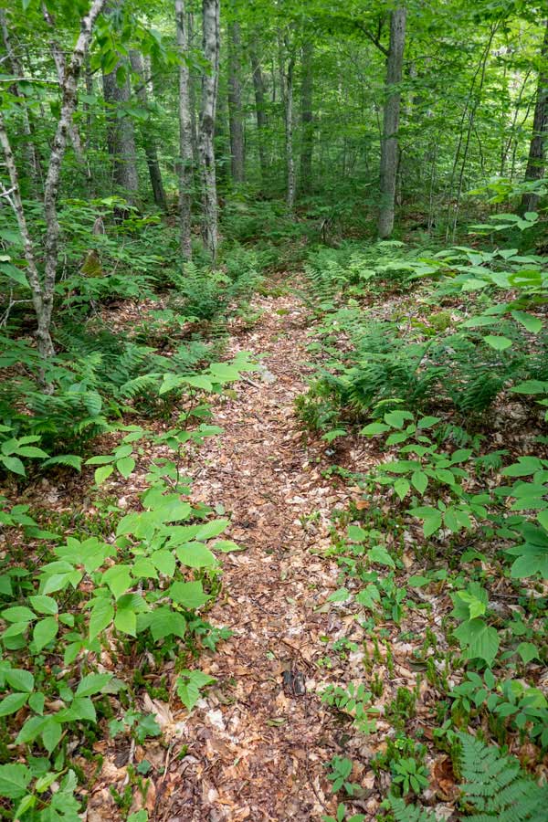 |
The Trail Markers on the Long Pond - Beaver Kill Ridge Trail are RED
Some parts of the Long Pond - Beaver Kill Ridge Trail are narrow with overgrowth. Most of the trail up to Sand Pond mountain is like this.
Other parts of the trail is wide and quite defined.
The beginning of the Long Pond - Beaver Kill Ridge Trail is fairly flat and easy hiking.
|
 |
|
 |
As you approach the base of Sand Pond Mountain, the incline of the trail will increase. The trail will also get windy as it climbs up some small ledges.
The trail will be more difficult to follow, so pay attention, and use your route finding skills.
|
 |
|
 |
After hiking up the ledges of Sand Pond Mountain about 250 feet, the incline will level off, and the hiking will become easy again. The undergrowth of trees will require you to pay attention to the direction of the path. Make sure you continue to see the RED Trail Markers.
|
|
 |
After hiking up the Long Pond - Beaver Kill Ridge Trail a little over 2.5 miles, you will come to the Trail Junction of the Mongaup-Hardenburgh Trail.
You want to go LEFT on the Mongaup-Hardenburg Trail (west) toward the Mongaup Mountain Range. The Trail Markers will be BLUE 
Right would take you to Willowemoc Mountain and finally to Balsam Lake Mountain Wild Forest.
|
|
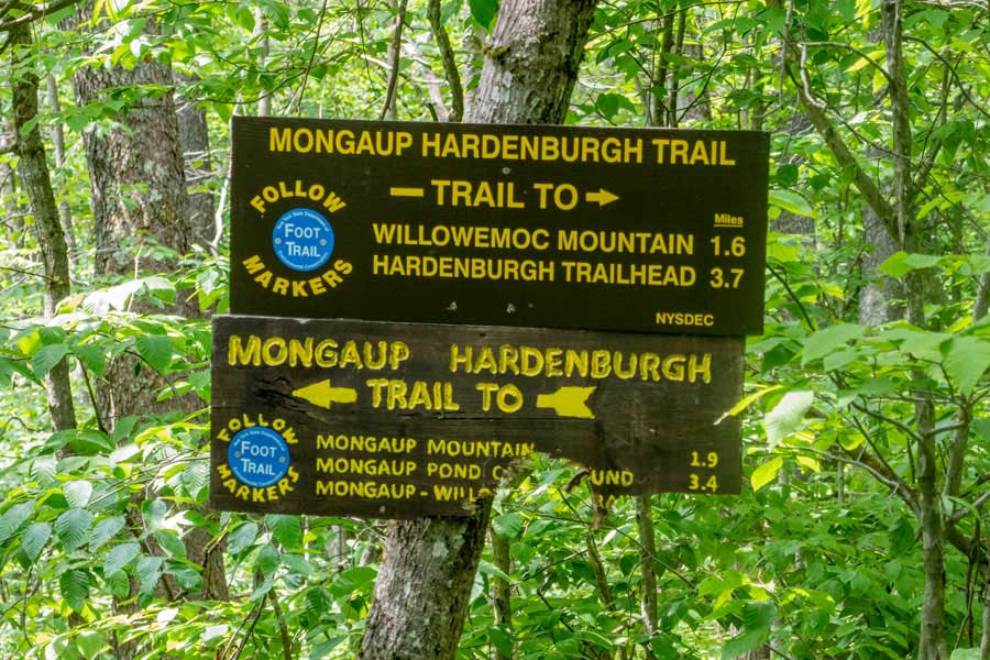 |
This is the DEC Trail Signs at the Trail Junction for the Mongaup-Hardenburg Trail and the Long Pond - Beaver Kill Ridge Trail.
The mileage on the signs is fairly accurate. Unfortunately, it looks like a bear bit into the lower sign. While we saw very little evidence of black bears in this region, they do exist everywhere in the Catskill Mountains.
|
|
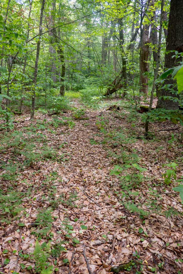 |
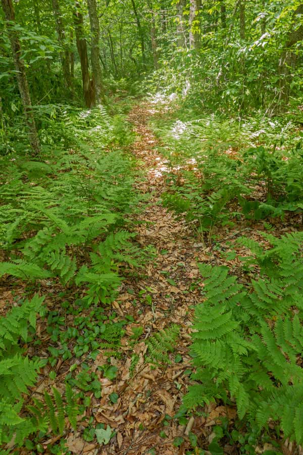
After turning left onto the Mongaup-Hardenburg Trail, the trail is relatively flat with a couple ups-and-downs in elevation.
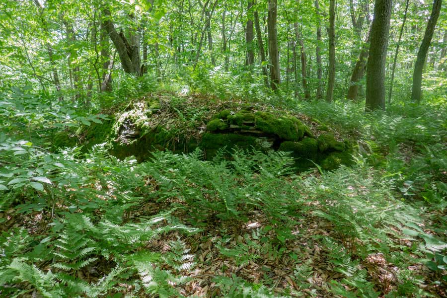
Like the Long Pond - Beaver Kill Ridge Trail, the Mongaup-Hardenburg Trail is very wild. The undergrowth and fern glades are noticeable on the path. Make sure you continue to follow the BLUE Trail Markers.
|
 |
|
 |
After hiking about 3/4 of a mile on the Mongaup-Hardenburg Trail, you will come to a new mountain summit. You might think that you have reached Mongaup Mountain. But, you haven't. This is West Sand Pond Mountain. You still have more then a mile of hiking before you reach Mongaup Mountain Summit.
|
|
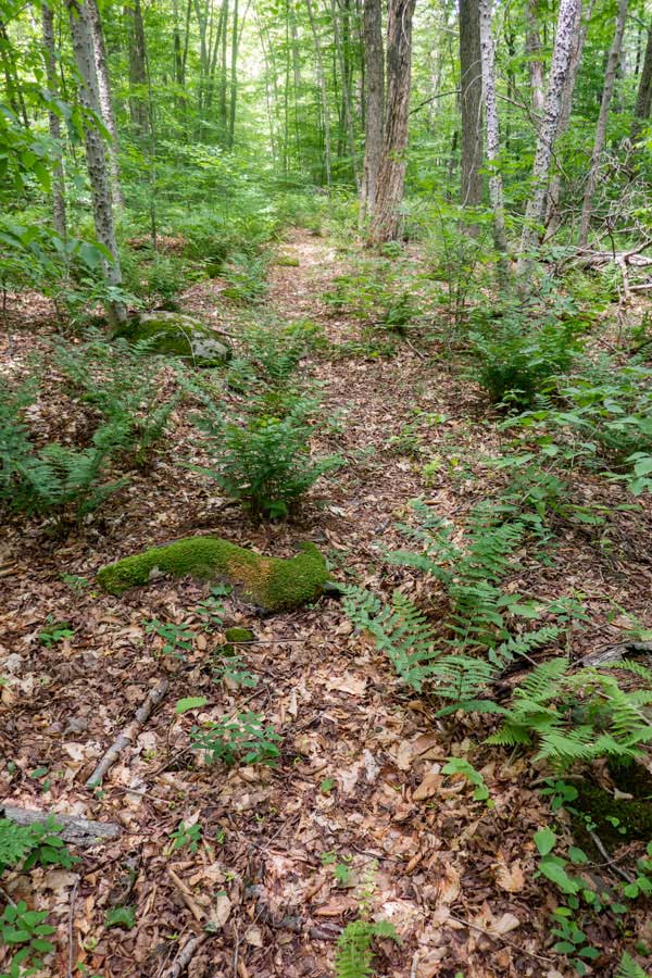 |
After West Sand Pond Mountain, the trail will continue in the westerly direction. The trail will then descend into a col between West Sand Pond Mountain and East Mongaup Mountain.
|
 |
|
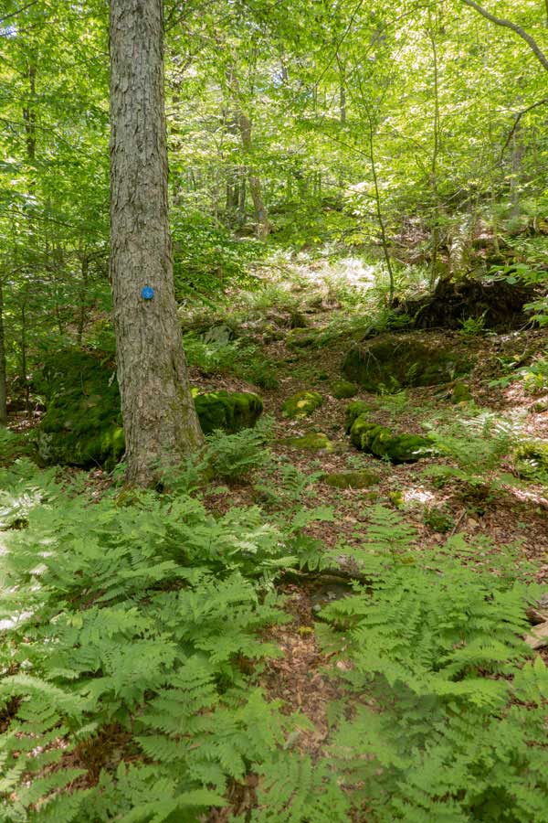 |
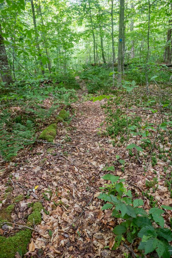
After descending down West Sand Pond Mountain, you will be in the col between the two mountain.
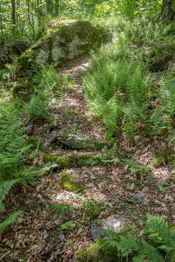
At the end of the col, you will have to ascend the side of East Mongaup Mountain 100-200 feet in elevation. Hiking up these small ledges is not particularly hard.
Once it levels off, you will be very close to the Mongaup Summit. The distance between the two mountains is about 1-1/4 miles.
|
 |
|
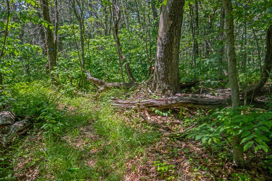 |
The top of Mongaup Mountain is a very small area. Once on top, you quickly realize where the summit is. The large tree is considered the summit.
Once at the large tree in the picture, the Mongaup-Hardenburg Trail turns 90 degrees to the LEFT.
We should note that many consider this Mongaup Mountain. It is actually, East Mongaup Mountain. There are three Mongaup Mountains. West Mongaup Mountain is considered the highest peak of the three. If you want to take an optional visit to West Mongaup Mountain, you will need to bushwhack to that mountain.
|
|
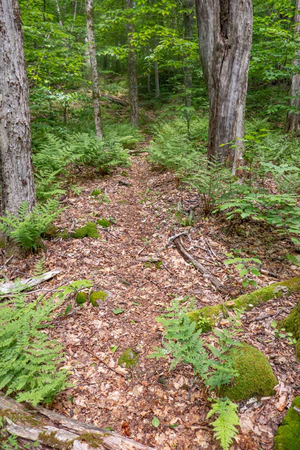 |
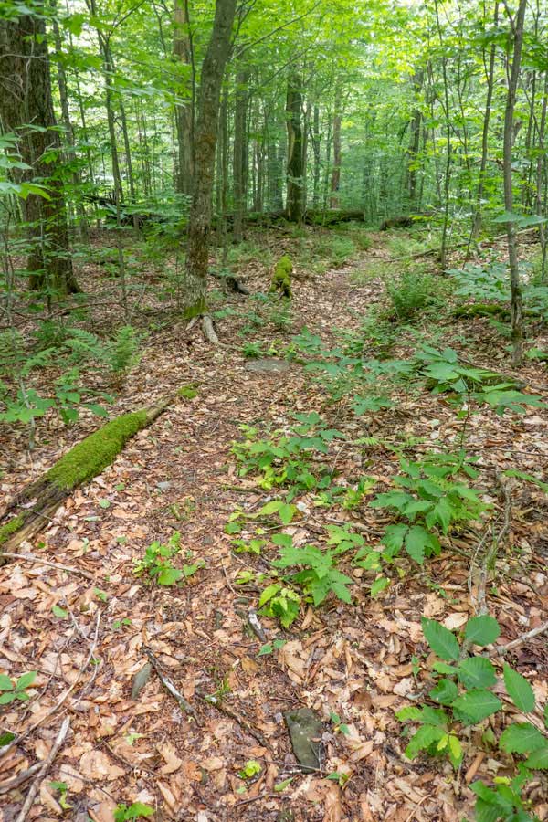
As soon as you turn left at the East Mongaup Mountain summit, the trail will quickly descend in elevation.
This portion of the Mongaup-Hardenburg Trail is well defined and fairly easy to follow. Since the Mongaup Pond Campgrounds is at the end of this trail, more people hike up to Mongaup Mountain this way.
It is about 1-1/2 miles to from East Mongaup Mountain Summit to Mongaup Pond.
|
 |
|
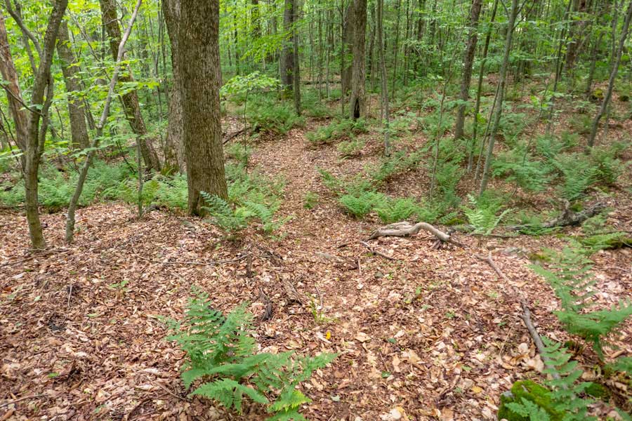 |
As you get further down the trail, the trees will start to get larger. There are quite a few large trees along the trail.
|
|
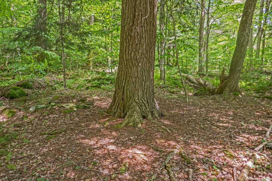 |
As you get close to the campground, large trees are seen more often. This large tree (almost 3 feet in diameter) is right in the middle of the trail. You actually have to hike around it. At this point, you have actually entered the Mongaup Pond Campground region. There are no signs to tell you that you have entered the campground region.
|
|
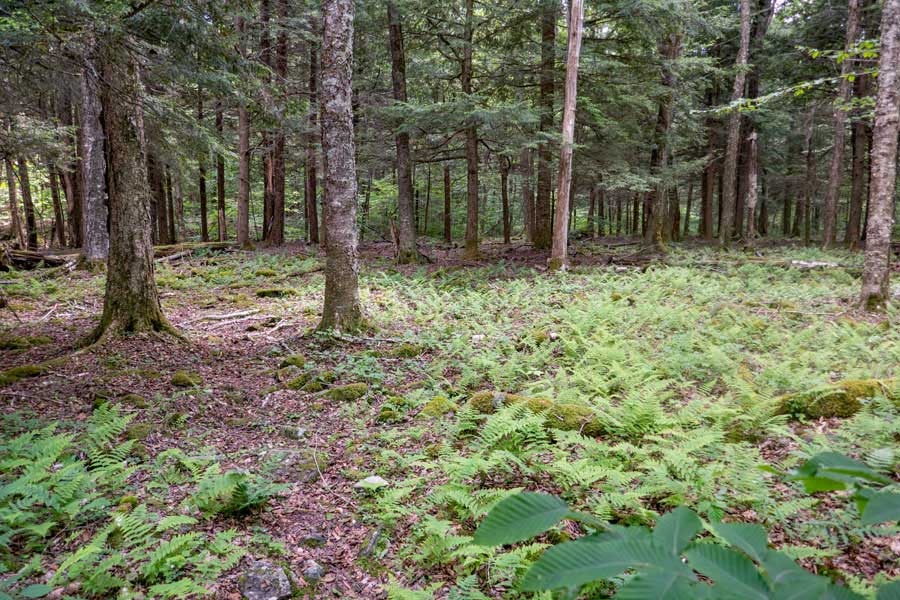 |
When you have reached this opening in the forest, you are fairly close to the end of the Mongaup-Hardenburgh Trail
|
|
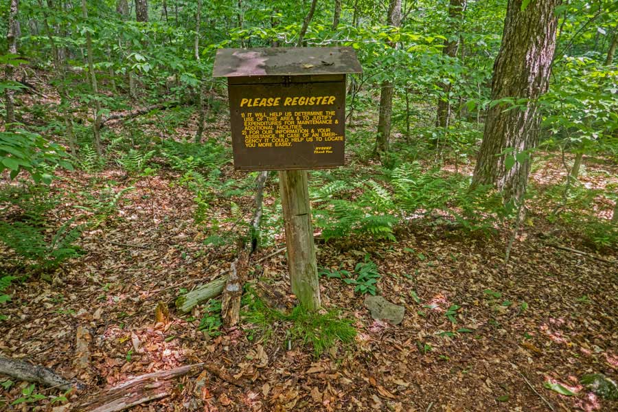 |
The DEC Registration Box on the Mongaup Pond side of the Mongaup-Hardenburgh Trail. In about 300 feet, you will hit the trail junction for the Karst Trail (campground trail) that runs around Mongaup Pond.
Once you reach the Trail Junction, this will mark the end of the Mongaup-Hardenburgh Trail.
You want to take a LEFT onto the Karst Trail and go over the bridge.
|
|
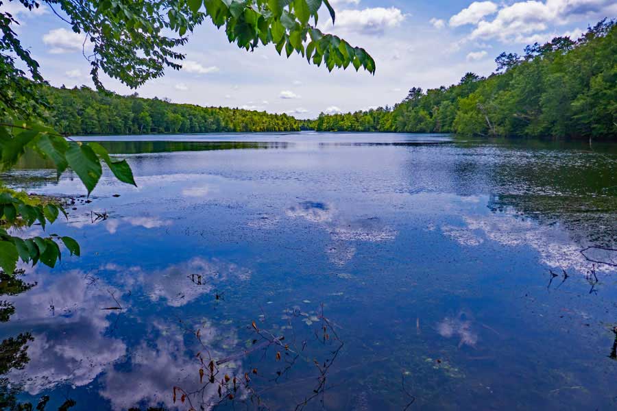 |
At the end of the Mongaup-Hardenburg Trail is this very nice view of the upper Mongaup Pond. The upper Mongaup Pond is very small compared to the lower pond. But, still a very nice view.
|
|
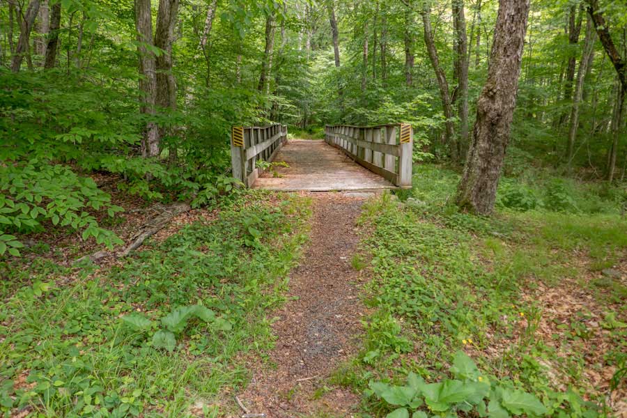 |
The trail around the Mongaup Pond Campgrounds has quite a few bridges. This is the 1st of 5 bridges you will cross. It crosses the Mongaup Creek.
|
|
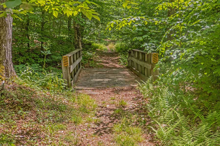 |
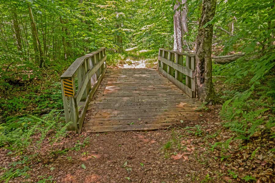
The trail around the Mongaup Pond Campgrounds has quite a few bridges. This is the 2nd of 5 bridges you will cross.
|
|
 |
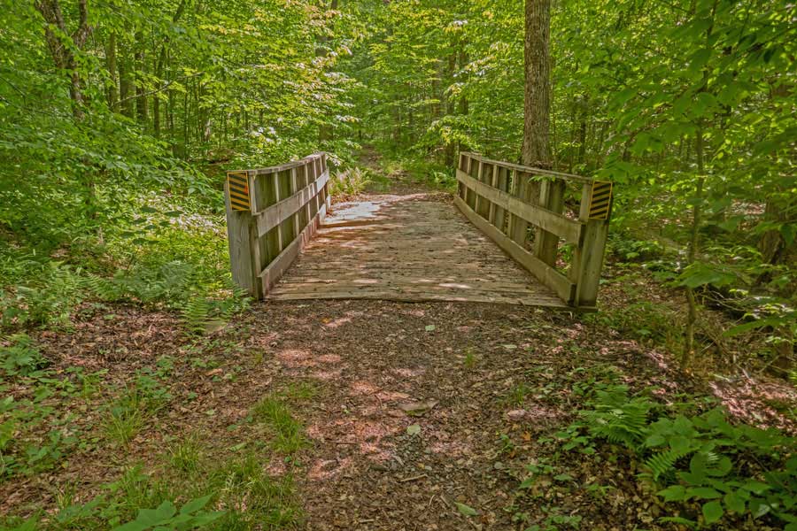
The trail around the Mongaup Pond Campgrounds has quite a few bridges. This is the 3th of 5 bridges you will cross.
|
|
 |
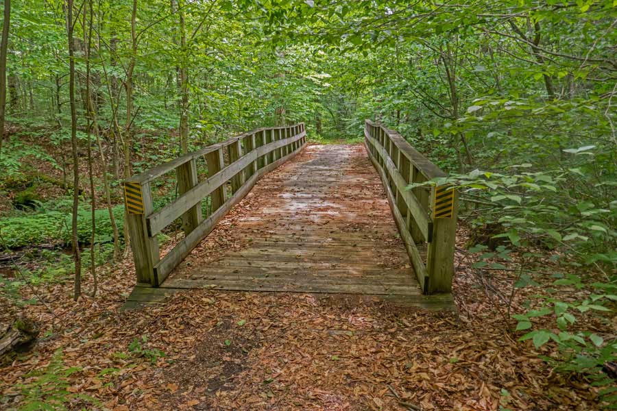
The trail around the Mongaup Pond Campgrounds has quite a few bridges. This is the 4th of 5 bridges you will cross.
|
|
 |
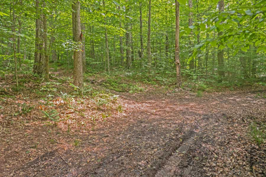
The trail around the Mongaup Pond Campgrounds has quite a few bridges. This is the 5th of 5 bridges you will cross.
|
|
 |
After almost a 1/2 mile of hiking around the Mongaup Pond Trail, and going over 5 bridges, you will come to this Trail Junction.
Go LEFT onto Mongaup-Willowemoc Trail. Straight would take you another 3/4 of a mile around the Mongaup Pond Campground on the Karst Trail. The Mongaup-Willowemoc Trail is also a snowmobile trail as well as a hiking and cross-country skiing trail.
|
|
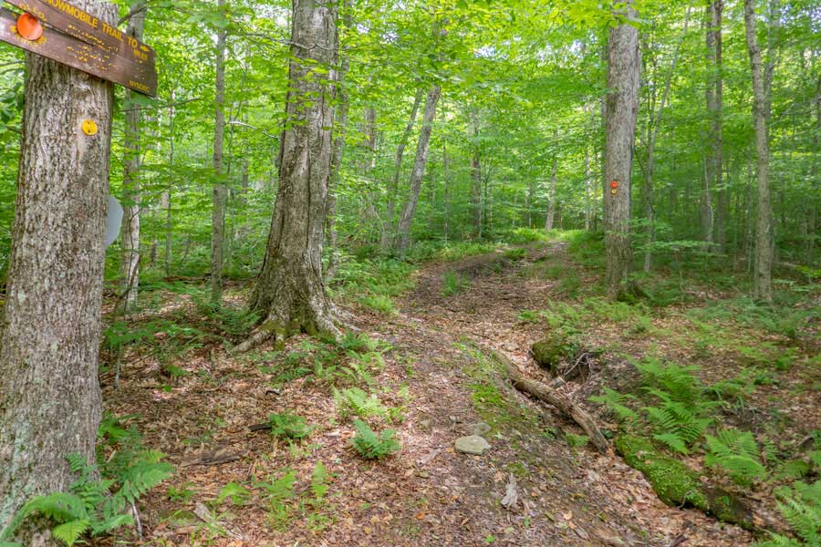 |
Mongaup-Willowemoc Loop Trail has YELLOW Trail Markers. This is also a snowmobile trail with ORANGE  Trail Markers. Trail Markers.
You will follow this trail for approximately 2.1 miles back to the Trailhead of this hike. Just follow this trail until you reach Flugertown Road.
|
|
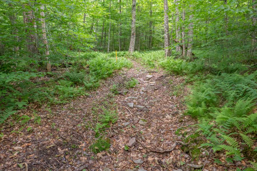 |
At the beginning of the trail, it will climb in elevation for a short period of time before leveling off.
|
|
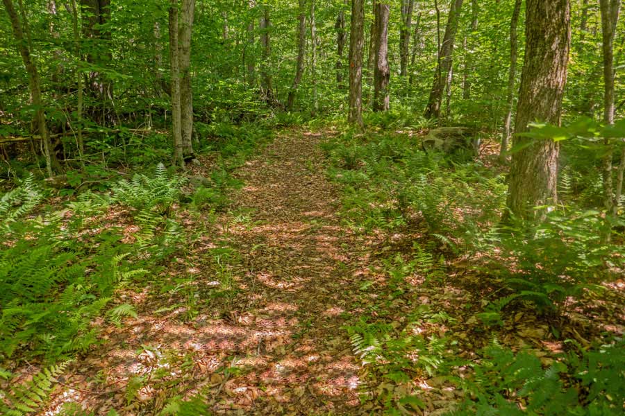 |
For an extended period of time, the trail will be fairly level, and easy to hike down.
|
|
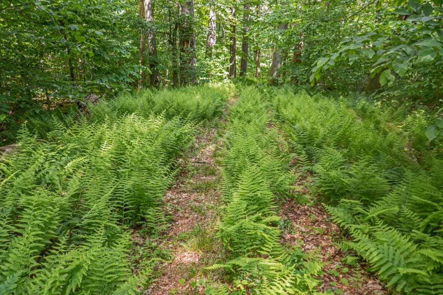 |
There are a few fern glades that have grown into the road. But, there is no difficulty in following the road.
|
|
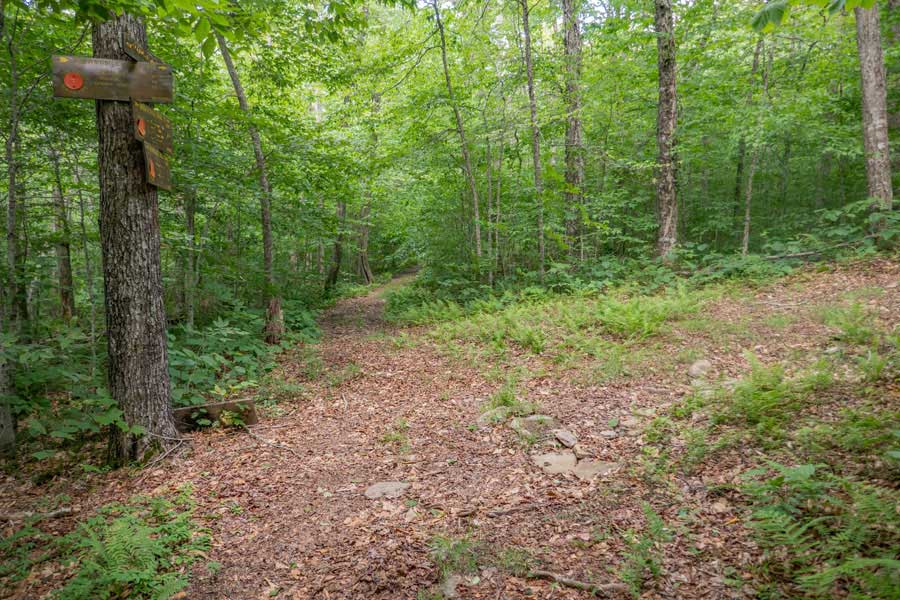 |
After about 2-1/3 miles, you will come to a Trail Junction, called Butternut Junction. You want to continue STRAIGHT on Mongaup-Willowemoc Trail.
If you go right, on the Azalea Trail, it will take you to Terwilliger Road. Which is about 2-1/2 miles away. It is also a snowmobile trail with ORANGE Trail Markers.
|
|
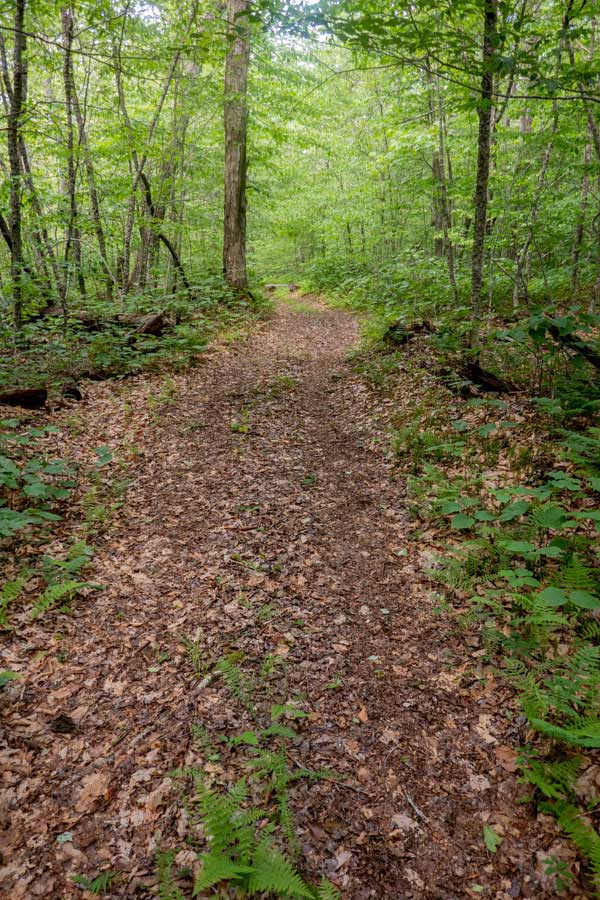 |
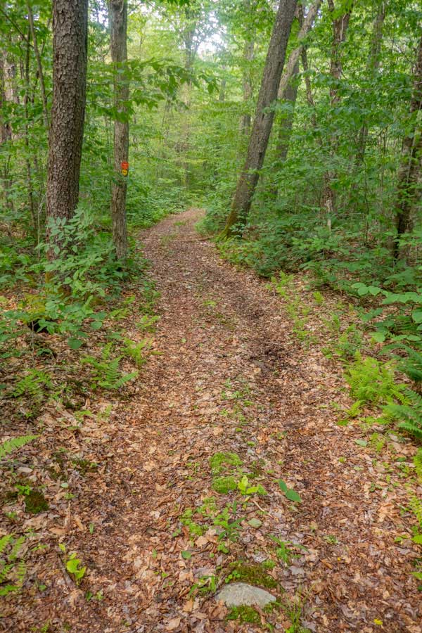
The Mongaup-Willowemoc Trail continues down a fairly level path that is well defined. It is quite easy to hike on.
|
 |
|
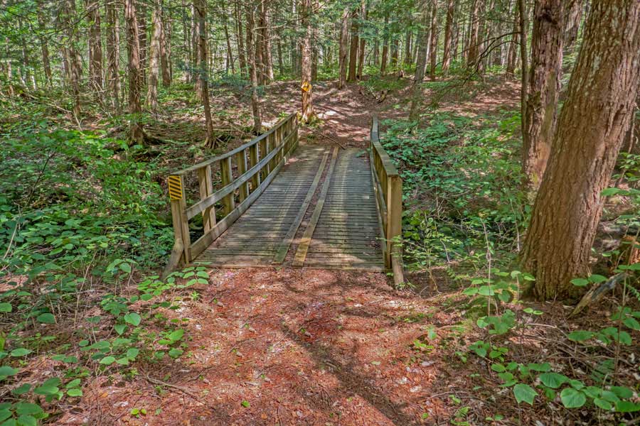 |
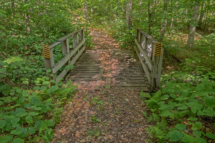
After 4/10 of a mile from Butternut Junction, you will encounter a second bridge that goes over Butternut Brook. After going over the bridge, the trail takes a 90 degree turn to the right.
|
|
 |
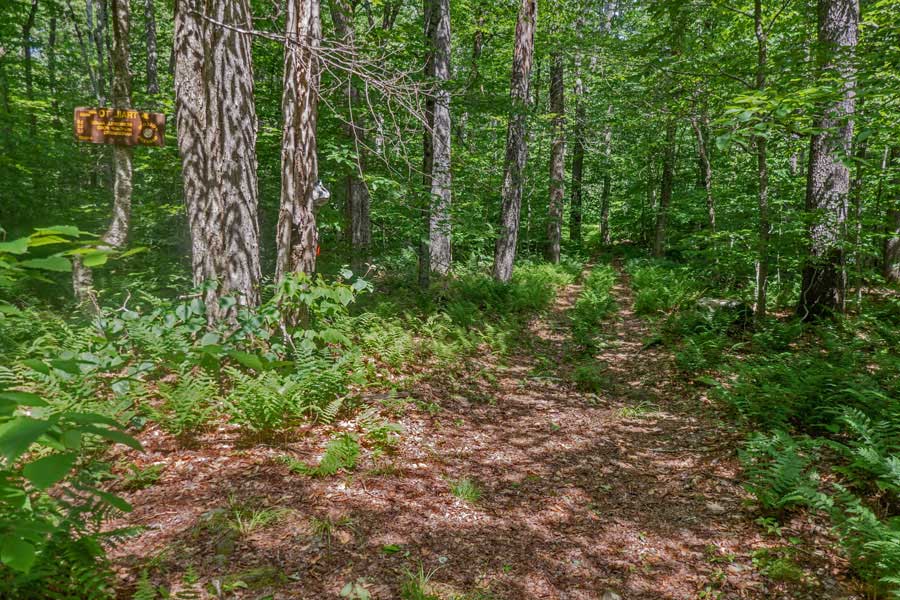
After another 6/10 of a mile from the bridge over Butternut Brook, you will encounter a 3rd bridge on the Mongaup-Willowemoc Trail.
In another 750 feet you will encounter a dirt road that leads to private property by Sand Pond, which is north of the trail. Continue STRAIGHT across the dirt road.
|
|
 |
In another 1/3 of a mile, you will encounter a Trail Junction that you took at the beginning of your hike. At this point, you will have completed the loop. You want to continue STRAIGHT on the Mongaup-Willowemoc Trail.
In another 1/2 mile you will come back to the trailhead of the Mongaup-Willowemoc Trail where you started your hike earlier in the day.
|
|
|
Once back at the Trailhead your hike is over. You can returning back to your car. Hope you enjoyed this hike.
|
|
|
S E C T I O N S
|
W E A T H E R
|
O T H E R
|
