|
Hiking the Campbell Mountain Trail |
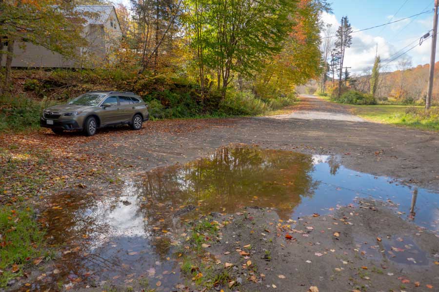 |
This is the Parking Area on Little Spring Brook Road. It is roadside parking at the end of the public road. Just make sure you park far enough off turnaround so that other vehicles can get turned around.
This is the shortest way to the Easterly Campbell Mountain Trailhead. From this parking Area to the Eastern Campbell Mountain Trailhead is about 3/4 of a mile on the Little Spring Brook Trail. If you want to learn more about Little Spring Brook Trail - Click here.
|
|
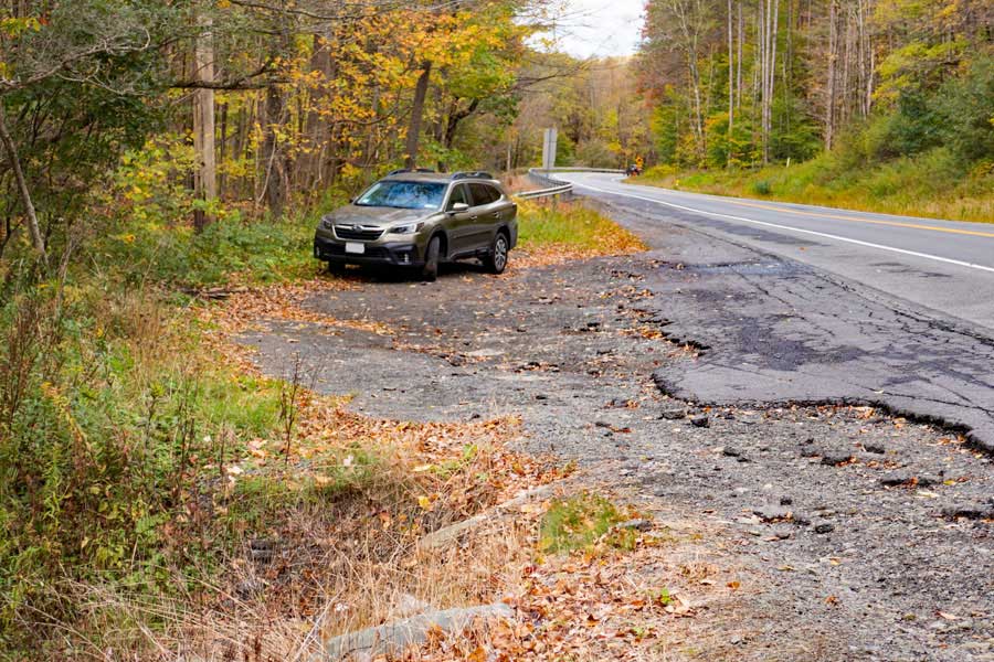 |
There is also a parking area about half way down the Campbell Mountain Trail on Rt 206 (Cat Hollow Road). It is a DEC Parking Area that holds about 5 cars. It is directly off Rt 206.
|
|
 |
This is the Western Parking Area for the Campbell Mountain Trail. It is located directly off Campbell Mountain Road. It holds 6-8 cars and is an official DEC parking area.
|
|
 |
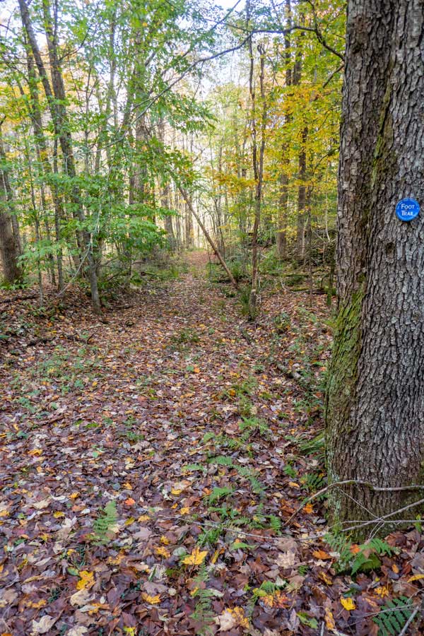
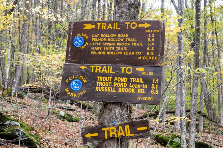
This is the Eastern Trailhead for the Campbell Mountain Trail. If you are coming up the Little Spring Brook Trail, continue STRAIGHT.
If you are coming down the Pelnor Hollow Trail (or Mary Smith Trail), then turn RIGHT.
|
|
 |
 |
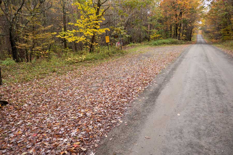
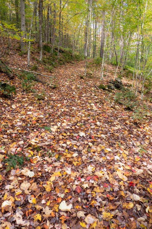
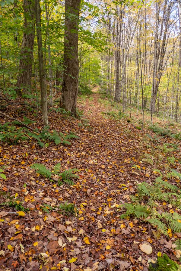
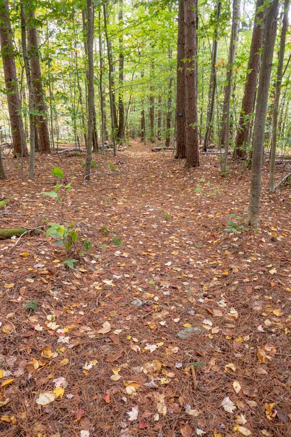
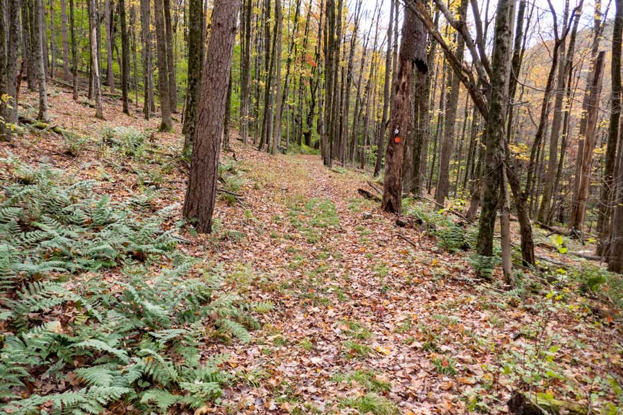
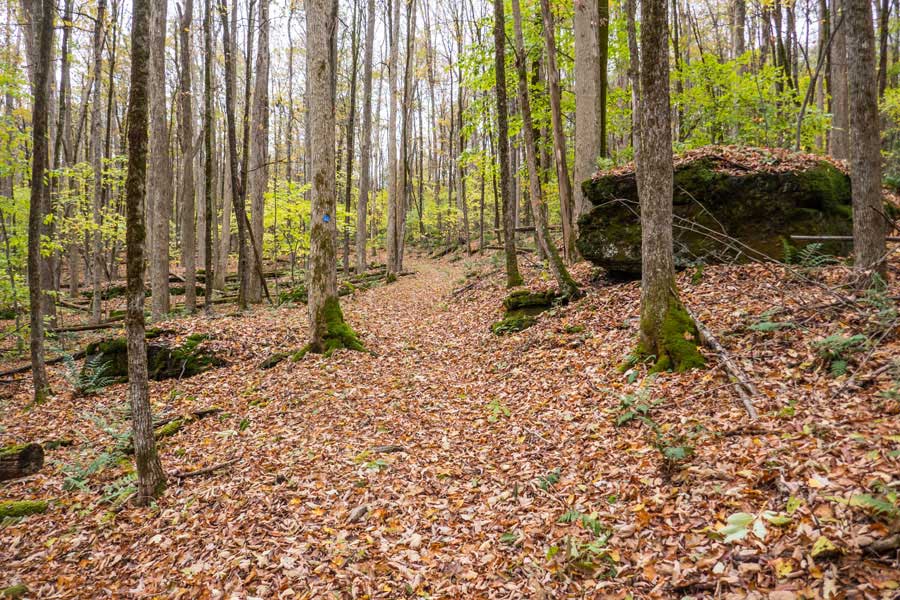
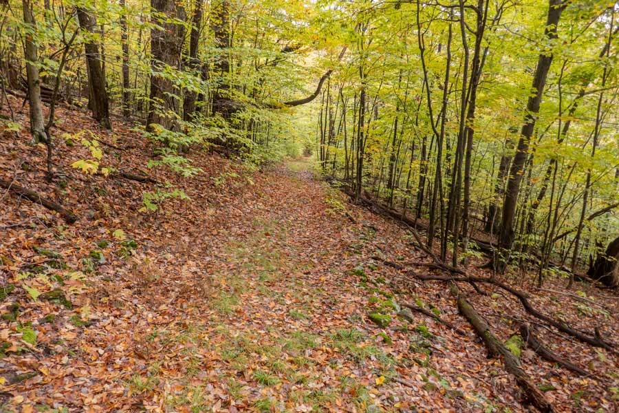
The beginning of the Campbell Mountain Trail is part of the old Little Spring Brook Road, so the trail is fairly wide. It is also used as a snowmobile trail in the Wintertime. |
As with most old logging roads, the trail is fairly straight and wide. |
|
 |
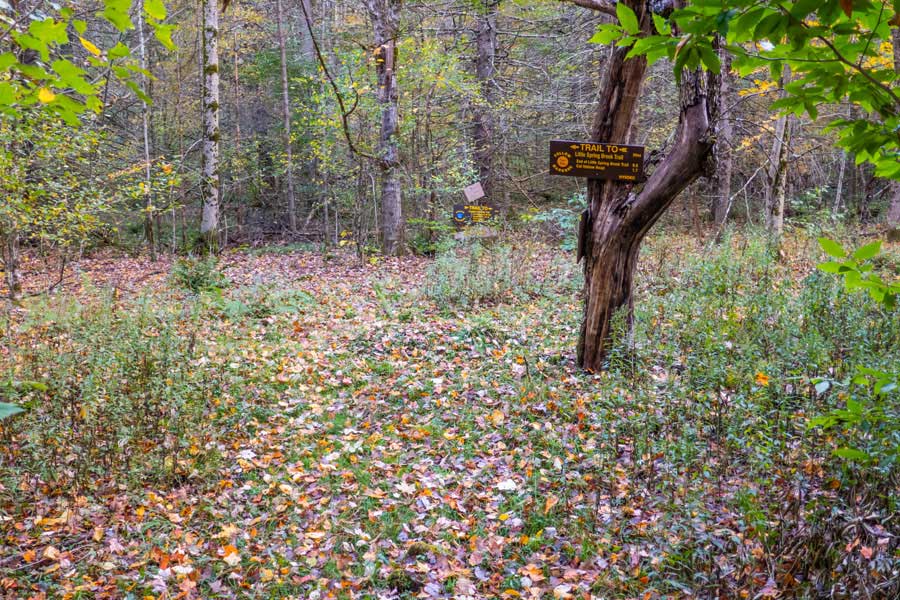
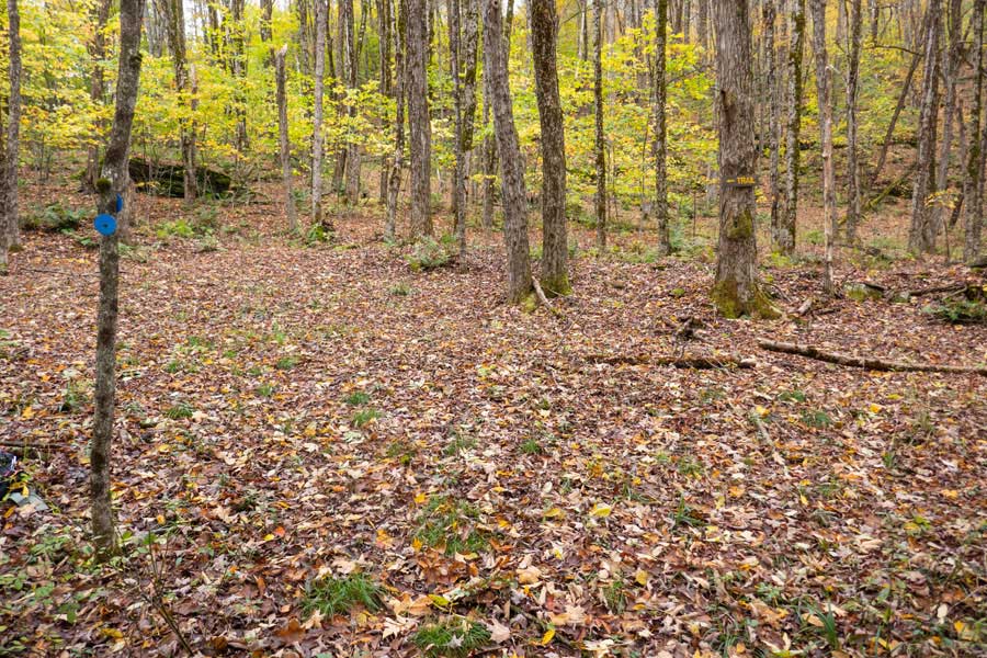
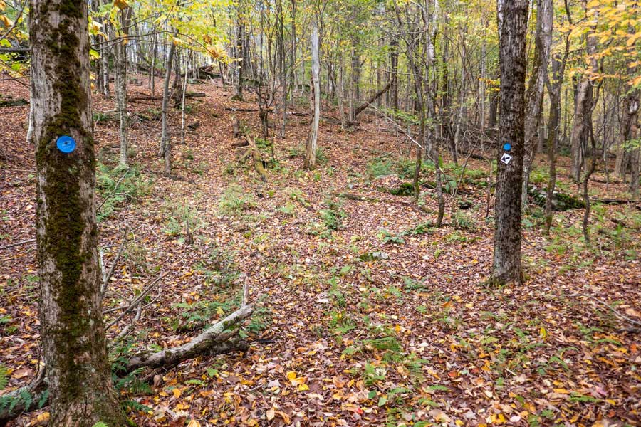
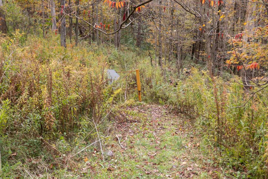
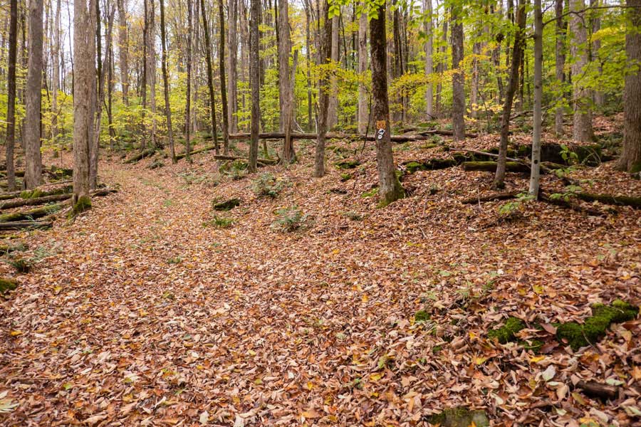
After a little over a 1/4 mile down the trail, you will take a 90 degree left off the old Little Spring Brook Road portion of the Campbell Mtn Trail. The left turn is just after the large tree on the left side of the trail.
|
|
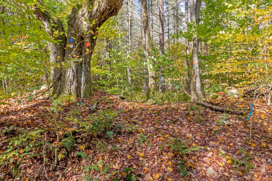 |
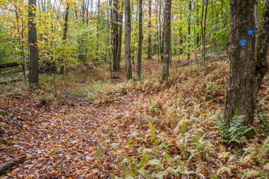
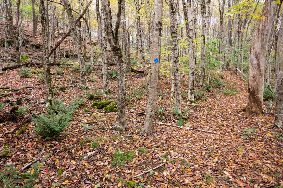
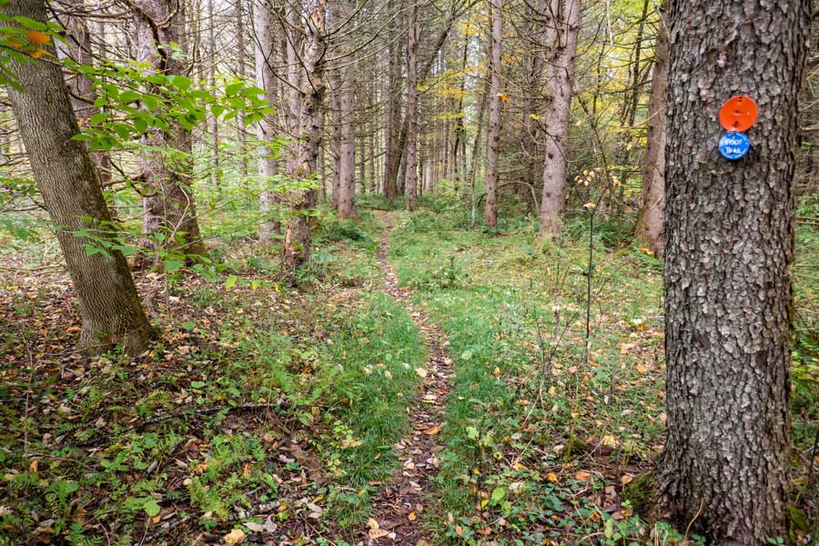
Look for the BLUE Trail Markers along with the ORANGE Snowmobile Trail Markers. In the summer months it may be difficult to see that it is a trail. But, once you start down the trail, the path should be obvious.
|
|
 |
 |
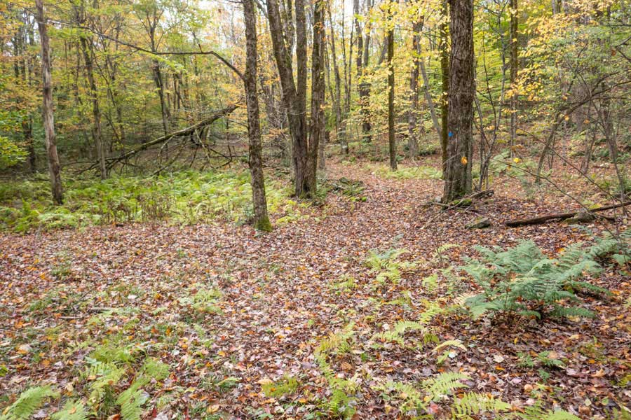
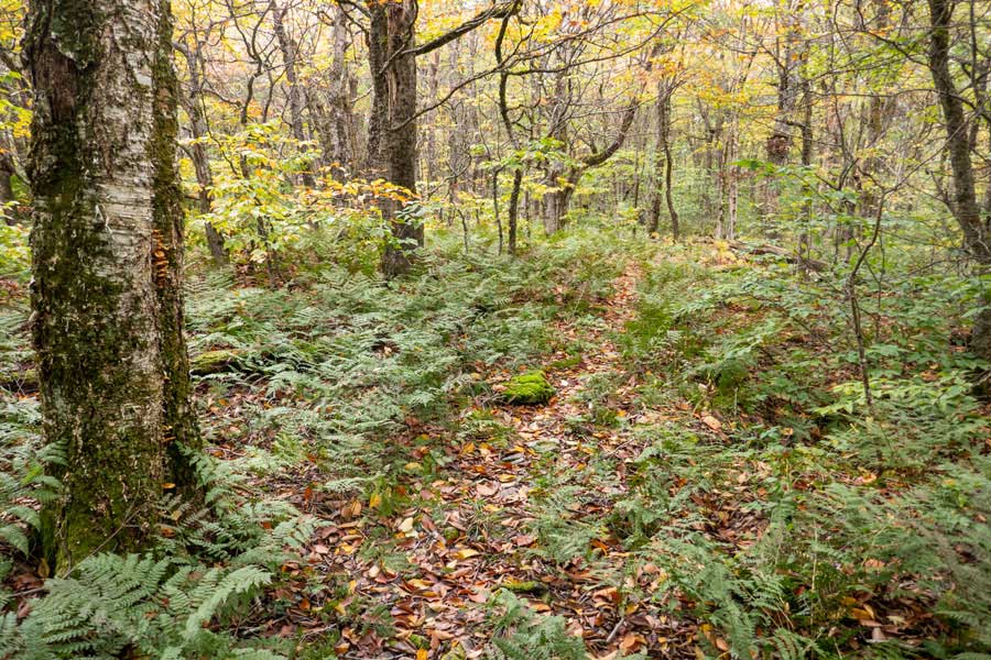
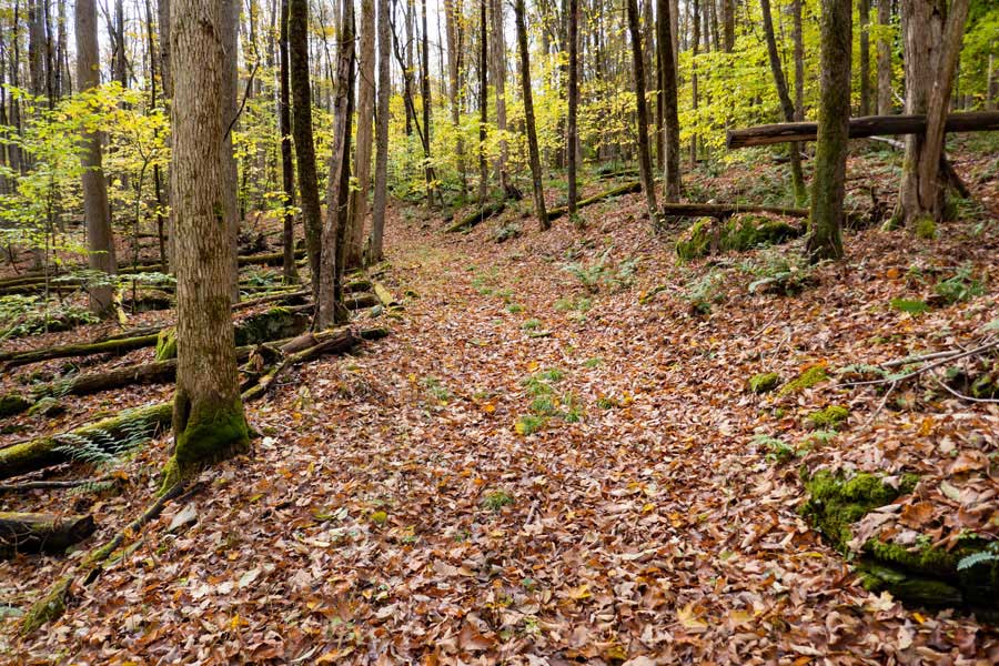
The section of the Campbell Mountain Trail is actually a spur trail between the old Little Spring Brook Road the and the old Miller Hollow Road. |
This spur section of the Campbell Mountain Trail is fairly straight and level. This spur section of the trail gains less then 300 feet in 1-1/2 miles. |
|
 |
The Campbell Mtn Trail then comes to another Trail Junction. You want to go LEFT on the old Miller Hollow Road. If you look at the tree across the old road, you will see a trail pointing to the LEFT.
Right would take you down the old Miller Hollow Road towards Pepacton Reservoir. Unfortunately, the old Miller Hollow Road on DEC land comes just a little short of going onto a public road.
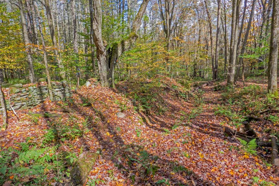
About a 100 feet to the right is an old homestead (house now gone).
|
|
 |
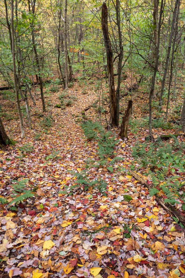
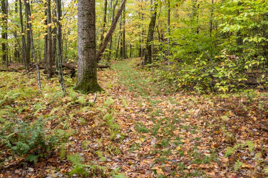
The old Miller Hollow Road is fairly easy to follow through the forest.
|
|
 |
After a short distance, you will turn RIGHT off the old Miller Hollow Road to continue down the Campbell Mountain Trail
|
|
 |
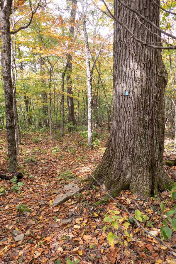
You will then start to climb up in elevation towards the summit of Brock Mountain. Make sure you follow the BLUE Trail Markers as the trail make some turns as you hike up the base of Brock Mountain.
|
|
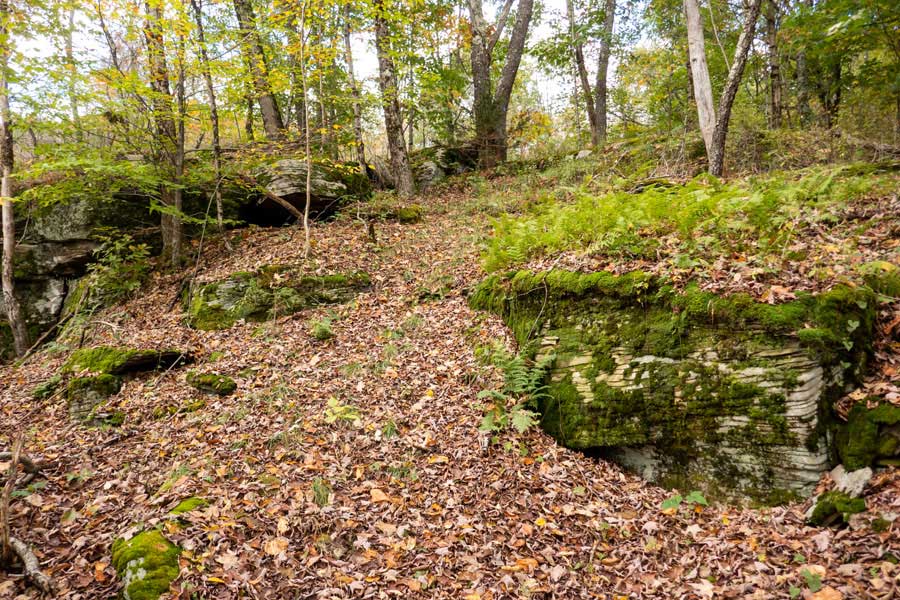 |
The Campbell Mtn Trail climbs up between this section of bluestone to Flat Rock.
|
|
 |
When you reach Flat Rock, it does not look particularly great. Flat Rock is a huge slab of bluestone that is about 500 feet in diameter. The only other places in the Catskill Mountains with a bluestone slab this big are South Vly Mountain and the Bluestone Wild Forest.
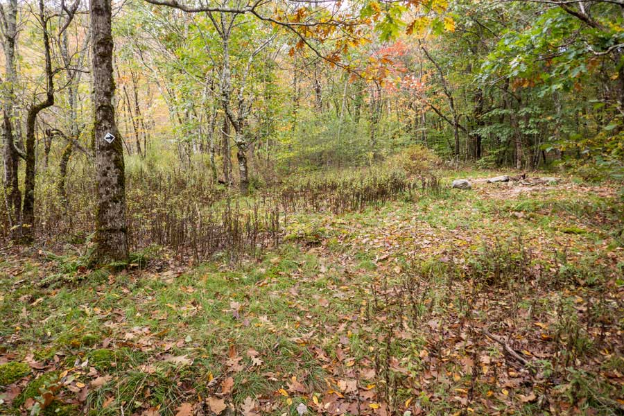
If you hike a couple hundred feet up the trail, you will have a easier access to Flat Rock.
|
|
 |
This is a picture of Flat Rock. It is often wet and marsh like. In the summertime you may be able to walk across it without getting your feet wet.
|
|
 |
After you leave Flat Rock, the trail will start to wind it's way up Brock Mountain. It is a fairly short distance to the top.
|
|
 |
This is the highest elevation on the Campbell Mountain Trail.
If you venture off the left side of the trail, you will find the summit of Brock Mountain. It is located about 300 feet from the trail (N42 03.083 W74 53.743). There is another location that has almost the same elevation.
|
|
 |
 |
Most of the Delaware Forest on DEC land has monster sized trees sprinkled about forest. |
After visiting Brock Mountain, the trail starts to descend about 200 feet in the next 3/4 of a mile. |
|
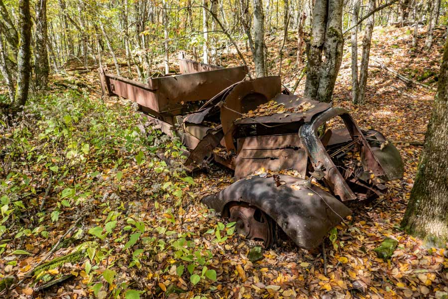 |
After a little less then 3/4 of a mile after leaving Brock Mountain, you will encounter a side road to an old quarry on Little Brock Mountain. This is an old truck they used to haul off bluestone off the mountain.
|
|
 |
 |
After leaving the Bluestone Quarry, the trail descend 600 feet in a little over a mile. But, it will pass through a beautiful conifer forest. |
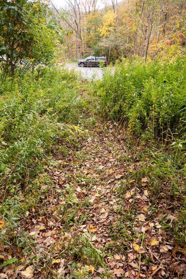
As you come to the end of the Eastern section of the Campbell Mtn Trail, you will start to hear the traffic on Rt 206. |
|
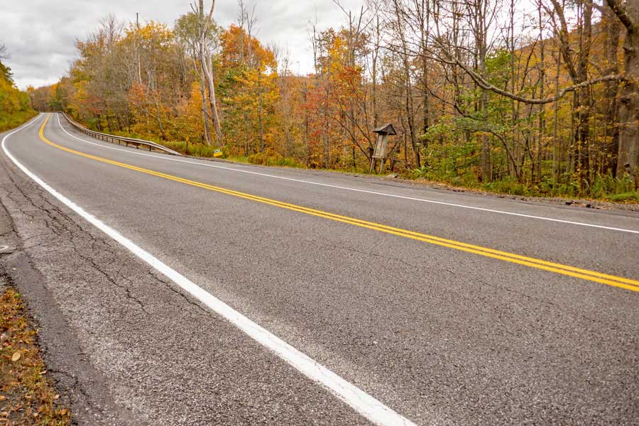 |
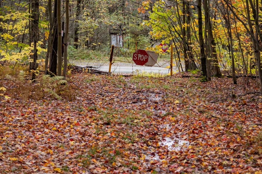
The Campbell Mountain Trail continues after you cross Rt 206 (Cat Hollow Road). If you look at the picture you will see the Kiosk and DEC Registration Box for the Western section of the Campbell Mountain Trail.
There is also a DEC Parking Area on the other side of the road (not in the picture) where can park. It holds about 5 cars (see picture above)
|
|
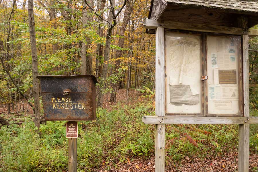 |
This is the DEC Kiosk and DEC Registration Box for the Western section of the Campbell Mountain Trail. Please register for the remainder of your hike.
|
|
 |
Hike past the DEC gate to continue your hike of the Campbell Mountain Trail on the western section of the trail. The western section follows part of an old logging road from Rt 206 to Campbell Mountain Road. The western section of the Campbell Mountain Trail is 2.4 miles long (one-way). This trail is also know as Snowmobile Trail #2.
|
|
 |
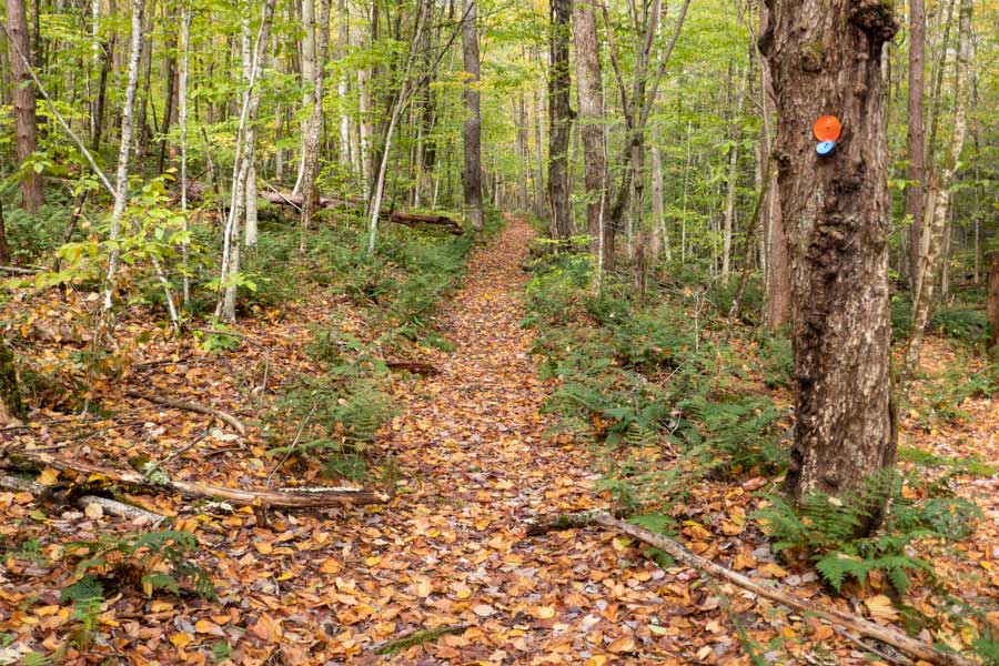
The trail descends down towards Cat Hollow Creek through a beautiful conifer forest. The trail is wide and fairly well defined.
|
|
 |
Once down in the Cat Hollow Valley, the trail will turn and run down the Cat Hollow Creek.
|
|
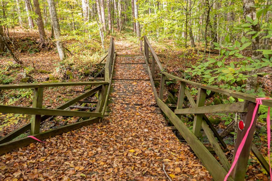 |
The trail will then turn left over the Cat Hollow Creek. The bridge is wide enough to handle snowmobiles in the wintertime.
|
|
 |
The trail will then start to ascend Campbell Mountain Range. The trail will start to go up several switchbacks.
|
|
 |
After about 1-1/4 miles, you will come to the side trail (on your left) to the Campbell Mountain Lean-to.
|
|
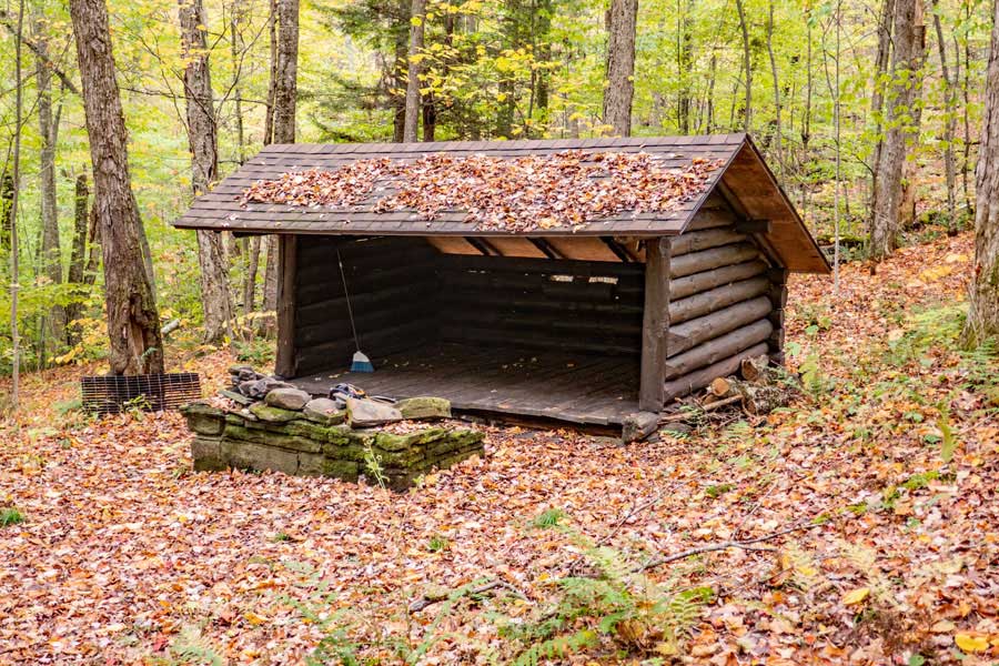 |
The Campbell Mountain Lean-to on the Western section of the Campbell Mountain Trail. The Snowmobile Trail #22 (Hog Hollow Trail) is a little more then a 1/3 mile away. The end of the Campbell Mountain Trail is a little less then 1.2 miles away.
|
|
 |
After leaving the Campbell Mountain Lean-to, the trail will continue to a series of switchbacks to the trail junction to the Hog Hollow Trail (Snowmobile Trail #22)
|
|
 |
This is the Trail Junction for the Hog Hollow Trail. It is known as Snowmobile Trail #22. The Hog Hollow Trail ends at the top of a hill about 3.8 miles down the trail. It is most often used by snowmobilers due to it's abrupt end.
|
|
 |
The Campbell Mtn Trail continues up to Campbell Mountain Range ridgeline.
|
|
 |
Once on the Campbell Mountain Range Ridge, the trail then goes across the ridge and then turns on the other side of the ridge and runs below the ridge. The trail completes a 180 degree turn going over the ridge.
|
|
 |
After moving along the ridge for a while, the trail will turn left and descends down the Campbell Mountain Range.
|
|
 |
The last part of the Western Mtn Trail descends down the Campbell Mountain Range until it reaches Campbell Mountain Road. This is the end of the Campbell Mountain Trail.
|
|
|
This is the DEC parking area on Campbell Mountain Road. On the right is the Trailhead of Campbell Mountain Trail. On the left is Trout Lake Trail.
|
|
|
S E C T I O N S
|
W E A T H E R
|
O T H E R
|

