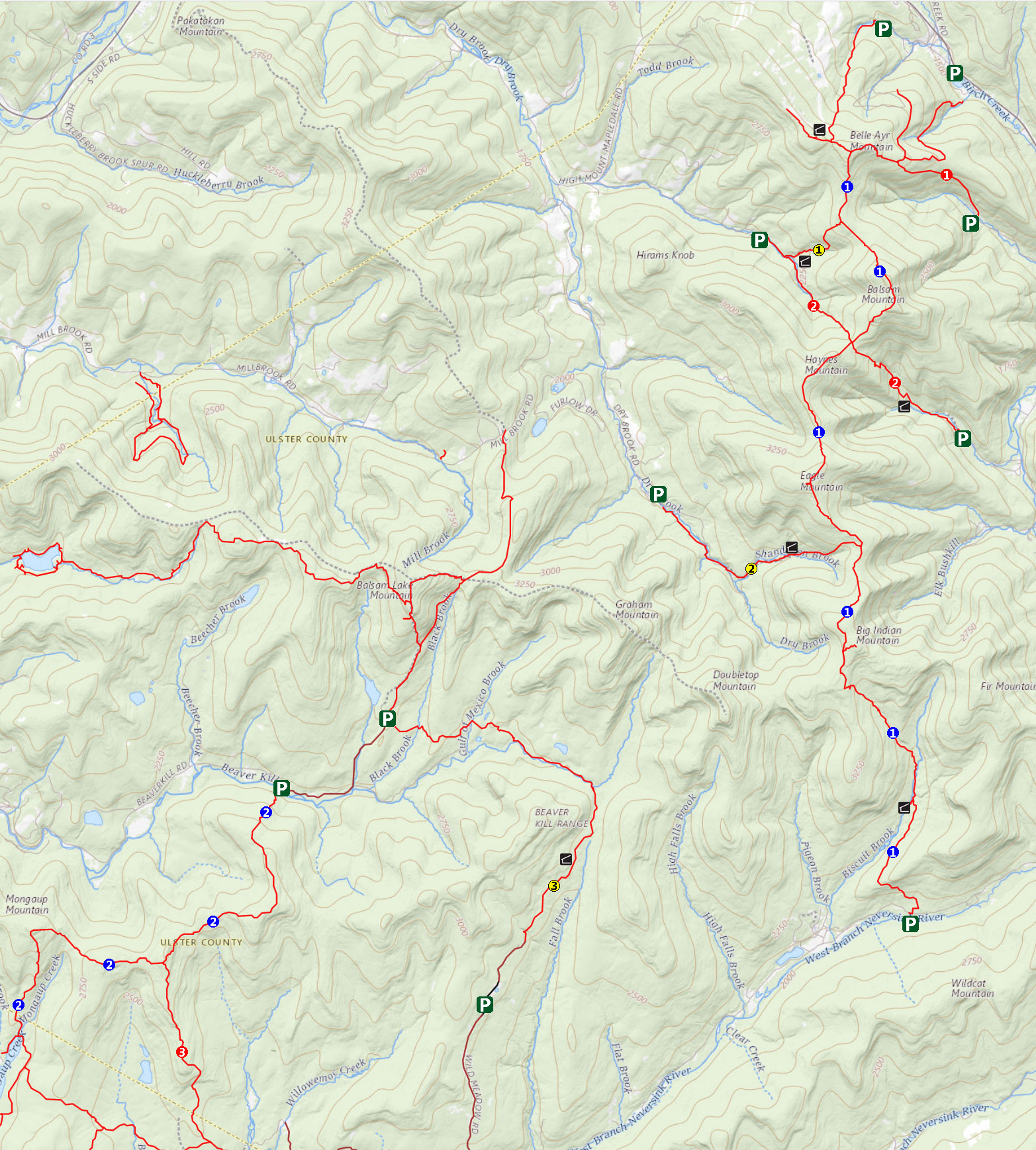
Big Indian Wilderness Area |
 |
| |
 Pine Hill - West Branch Trail Pine Hill - West Branch Trail |
 Lost Clove Trail Lost Clove Trail |
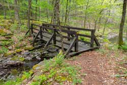
 Mine Hollow Trail Mine Hollow Trail |
 Mongaup-Hardenburgh Trail Mongaup-Hardenburgh Trail |
 McKenley Hollow Trail (Note) McKenley Hollow Trail (Note) |
 Seagar Big Indian Trail Seagar Big Indian Trail |
| |
 Long Pond Beaverkill Trail Long Pond Beaverkill Trail |
 Neversink-Hardenburgh Trail Neversink-Hardenburgh Trail |
|
| |
| NOTE: The DEC renamed Rider Hollow Trail to McKenley Hollow Trail. |
| |
|
|
| |
| |
|
|
| |
| |
|
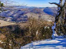
Balsam Mountain from Pine Hill - 9.60 mile trip - 6 hours. Moderate. Nice hike from Pine Hill up Cathedral Glen Trail to Belleayre Mtn. Great view from Balsam Mountain.


|
|
| |
| |
|
|
| |
| |
|
|
| |
| |
|
|
| |
| |
|
Doubletop Mountain - 5.4 mile trip - 5 hours. Moderate. Nice walk up the valley, and the ridge line hike can be nice. Some of the forest can be thick in the summer.
|
|
| |
| |
|
Eagle & Haynes Mountain From Rider Hollow Road - 7.86 mile trip - 4.75 hours. Moderate. Really no views. Common snowshoe hike in the Winter. Lots of needles in the summer. Numerous stream crossings.

|
|
| |
| |
|
|
Eagle Mountain From Dry Brook Road - 8.98 mile trip - 5.75 hours. Moderate. Really no views. Common snowshoe hike in the Winter. Lots of needles in the summer. Numerous stream crossings.
|
|
| |
| |
|
Fir Mountain - 7.80 mile trip - 4-5 hours. BUSHWACK - Moderate. Nice easy hike. Numerous stream crossings.

|
|
| |
| |
|
Neversink-Hardenburgh Trail - 5.81 miles (one-way) - 3-5 hours. Easy. Nice easy flat forest walk. Can be combine with other hikes to create a backpack hike.

|
|
| |
| |
|
|
| |
| |
|
|
| |
| |