Willowemoc Wild Forest |
 |
 Mongaup-Hardenburgh Trail Mongaup-Hardenburgh Trail |
 Basily Road & Gun Club Road Basily Road & Gun Club Road |
 Long Pond Lean-to Trail Long Pond Lean-to Trail |
 Flynn Trail Flynn Trail |
 Long Pond Trail Long Pond Trail |
 Mongaup-Willowemoc Trail Mongaup-Willowemoc Trail |
 SMT #1 - Azelea Trail SMT #1 - Azelea Trail |
 Long Pond - Beaver Kill Trail Long Pond - Beaver Kill Trail |
 Loggers Loop Trail Loggers Loop Trail |
| SMT #2 - Karst Trail |
 Quick Lake Trail Quick Lake Trail |
 Big Rock Trail Big Rock Trail |
| SMT #3 - Long Snowmobile Trail |
 Beech Mtn Trails Beech Mtn Trails |
|
| SMT #4 - Quick Lake |
 Hodge Pond Trails Hodge Pond Trails |
|
| |
|
|
| |
|
|
| |
|
|
|
| |
| |
|

 Azalea-Karst Loop Trail - 7.13 mile trip - 3-4 hours. Easy. Nice forest hike. Almost all of this trail is on old roads. Great hike for hikers who are camping at Mongaup Pond Campgrounds.


|
|
| |
| |
|
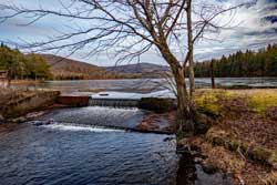
Beech Mountain Hike - 7.04 mile trip - 3-4 hours. Easy. Nice views of Hodge Pond, and two views near the top of Beech Mountain. Almost all of this trail is on old roads. Considered one of the best hikes in the Willowemoc Wild Forest. Great hike for hikers who are camping at Mongaup Pond Campgrounds.

|
|
| |
| |

|
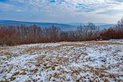
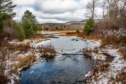
Frick Pond Loop Trail - 2.14 mile trip - 1-2 hours. Easy. Nice forest hike with a nice view of Frick Pond. Almost all of this trail is on old roads. Great small hike for hikers who are camping at Mongaup Pond Campgrounds.
|
|
| |
| |
|
Hardenburgh-Willowemoc Loop Trail - 26.14 mile trip - 3 days. Moderate. Nice forest hike. Starts from Black Bear Parking Area. You will hike the Wild Meadow Road, Neversink-Hardenburgh Trail, Beaver Kill Road, Mongaup-Hardenburgh Trail, Mongaup Pond Snowmobile Trail, Mongaup-Willowemoc Trail, Long Pond Trail, Gun Club Road, and Basily Road.


|
|
| |
| |
|
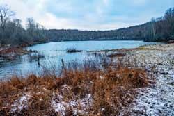
 Hodge Pond Loop Trail - 6.82 mile trip - 5-6 hours. Easy. Nice forest hike with a really nice view of Hodge Pond and Frick Pond. You can also take a side trip to the Beech Mountain summit region. There is a nice trail around the summit with two nice views over the valley below.
|
|
| |
| |
|
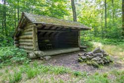
Long Pond Lean-to Trail - 2.15 miles (one-way) 1 hour. Easy. Nice forest hike. Starts from Long Pond Parking Area, and goes up the Long Pond PA Spur Trail. You then take the Long Pond Trail, then take the Long Pond Lean-to Trail.

|
|
| |
| |
|
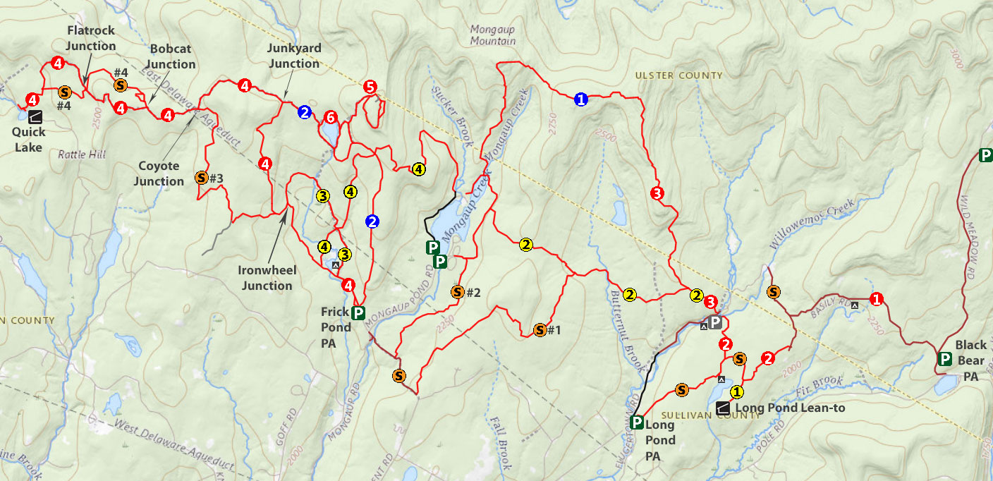
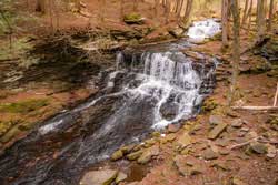
Mongaup Falls - 0.20 mile trip - 1 hour. Moderate. Pretty waterfall in an unexpect place that is very close to Mongaup Road. Easy to walk there from Mongaup Pond Campgrounds
|
|
| |
| |
|
|
Mongaup Loop Trail - 10.11 mile trip - 6-7 hours. Moderate. Nice forest hike. Very wild forest (Route finding needed). You will visit Sand Pond Mountain, West Sand Pond Mountain, East Mongaup Mountain, and Mongaup Pond.
|
|
| |
| |
|
Quick Lake Trail - 14.56 mile trip (round-trip)- 10 hours. Easy. Nice forest hike. Almost all of this trail is on old roads. You will visit both Frick Pond and Quick Lake.
|
|
| |
| |