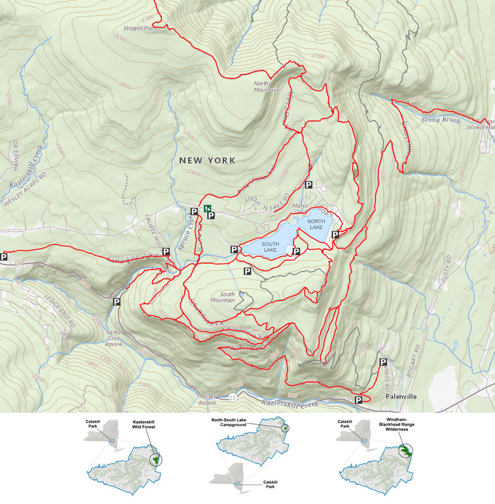
North-South Lake Region |
 |
| |
| |
|
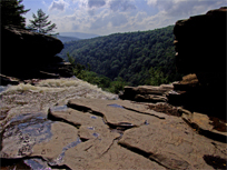
Kaaterskill Falls - 0.60 to 2.83 miles - 1-3 hours. Easy-to-moderate. Hike to bottom AND top of Kaaterskill Falls. Starts at Laural House Road for top of Falls. This is the MOST popular hike in The Catskill Mountains. It is best to hike after a large rain storm (4-5 inches).


|
|
| |
| |
|
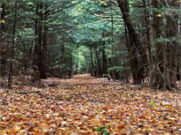
Kaaterskill Rail Trail - 3.16 miles - 2-3 hours. Easy. Hike The Kaaterskill Rail Trail From the bottom of Laurel House Road to the Mountain Top Historical Society in Haines Falls. At the Haines Falls side you will get to see the Trail Station.


|
|
| |
| |
|
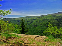
Escarpment Trail - Southwest Section - 4.04 to 4.58 miles round trip - 3-4 hours. Easy hike. Encounter Layman's Monument, 4 un-named ledges overlooking Kaaterskill Clove, Sunset Ledge, and Inspiration Ledge. Numerous side trips (Kaaterskill Falls, hotel, etc.). Outstanding views of the Kaaterskill Clove.


|
|
| |
| |
|
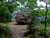
Southern Escarpment Trail - Approximately 7.32 miles round trip - 5 hours. Easy. This hike will encounter North and South Lake, Ruins of the Catskill Mountain House, Boulder Rock and the entire southern part of the Escarpment Trail. There are many outstanding views of the Hudson Valley and Kaaterskill Clove.


|
|
| |
| |
|
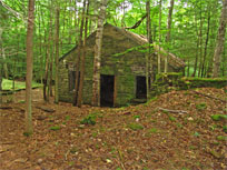
Escarpment Trail - Historic Hike - Approximately 6.39 miles round trip - 3 hours. Easy. This hike will encounter Kaaterskill Falls, Laurel House, Kaaterskill Hotel site, Boulder Rock, Catskill Mountain House, and the Saw Mill. Numerous other landmarks. Boulder Rock and the old Catskill Mountain House provide outstanding views of the Hudson Valley. You can make side trips to North-South Lake for bathrooms, picnicing, fishing, etc.


|
|
| |
| |
|
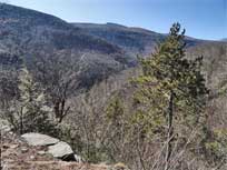
Harding Road Trail - 5.05 miles round trip - 3.5 hours. Easy hike. This hike will encounter the North/South lake, Kaaterskill Hotel Site, and the Harding Road Trail. The Harding Road was built for visitors to the Kaaterskill Hotel. It was considered an impossible road to build, but it was built at a high price.


|
|
| |
| |
|
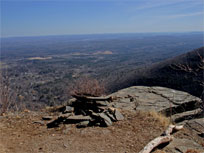
Palenville Overlook, and Indian Head Ledge - 8.12 miles round trip - 5 hours. Easy hike. This hike will encounter the North/South lake, Old Otis Cog Railway, Palenville Overlook, and Indian Head. Starting point is from the South Lake overflow area. Starting from Scutt Road will add another 2 miles to the hike.


|
|
| |
| |
|
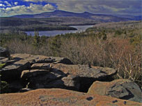
Escarpment Trail (east side) Approximately 6.23 miles round trip - 4 hours. Moderate hike. Bad Man's Cave, Newman's Ledge, Bear's Den, Prospect Rock, Artist Rock, Alligator Rock, Scribner's Saw Mill. Small side-trips can be made to North Point and North Mountain, Catskill Mountain House, and the southern tier of the Escarpment Trail. The hike offers an outstanding views of the Hudson Valley and North/South Lake.


|
|
| |
| |
|
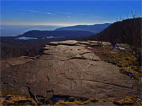
North Point & North Mountain Approximately 5.90 miles round trip - 3-to-4 hours. Moderate. This hike will encounter North Point and North Mountain. The Escarpment Trail offers an outstanding views of North/South Lake, Kaaterskill Mountain Range, the Hudson Valley.


|
|
| |
| |

|
North Point & North Mountain from Winter Clove Approximately 6.01 miles round trip. Or 7.33 miles if you also visit Winter Clove Falls - 5 hours. Difficult. This hike will encounter North Point and North Mountain. This is a non-DEC trail and may be difficult to follow. Good route finding skills required.


|
|
| |
| |
|
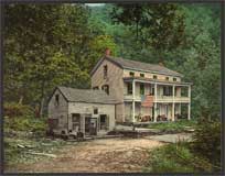
Sleepy Hollow Trail - Approximately 5.05 miles one-way - 3-4 hours. Easy. This hike is all down hill. You will get to see the historic Rip Van Winkle House site.


|
|
| |
| |
|
|
| |
| |
|
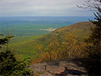
Stoppel Point from North-South Lake - Approximately 9.16 miles round trip - 6 hours. Moderate. This hike will encounter North Point, North Mountain Ledge, Stoppel Point, Plane Crash, and Ashley Falls. This hike offers an outstanding views of North/South Lake, Kaaterskill Mountain Range, the Hudson Valley, and Blackhead Mountain Range. Stoppel Point overlooks Cairo, New York and the Hudson Valley. Stoppel Point can be seen from Cario near the banks on Rt 23.


|
|
| |
| |
|
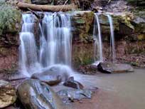
Countryman Kill Waterfalls from Winter Clove Inn - Approximately 4.22 miles round trip - 3 hours. Easy. This hike starts from Winter Clove Inn (Roundtop, NY). It runs 1-3/4 miles from Winter Clove Inn to the five Countryman Kill Waterfalls on the Yankee Smith Trail. While these waterfalls are not particularly high, they are exceptionally beautiful. There are not views other then the waterfalls. This trail is a non-DEC trail.


|
|
| |
| |

|
Countryman Kill Waterfalls & Little Stoppel from Winter Clove Inn - Approximately 6.85 miles round trip - 4.5 hours. Moderate. This hike is a combination of unofficial hiking trails and bushwhacking. The hike starts from Winter Clove Inn (Roundtop, NY). While these waterfalls are not particularly high, they are exceptionally beautiful. This trail is rarely hiked. Great for solitude for the experienced hiker. This trail is a non-DEC trail.


|
|
| |
| |

|
Stoppel Point from Round Top - Approximately 8.13 miles round trip - 6 hours. Moderate. This hike starts on Stork Nest Road in Round Top (Cairo, NY). It climbs up to Dutcher's Notch on the historic Colgate Carriage Road. It then continues on the Eastern Escarpment. The hike is moderate and a nice walk. About 2200' of elevation climb.


|
|
| |
| |

